
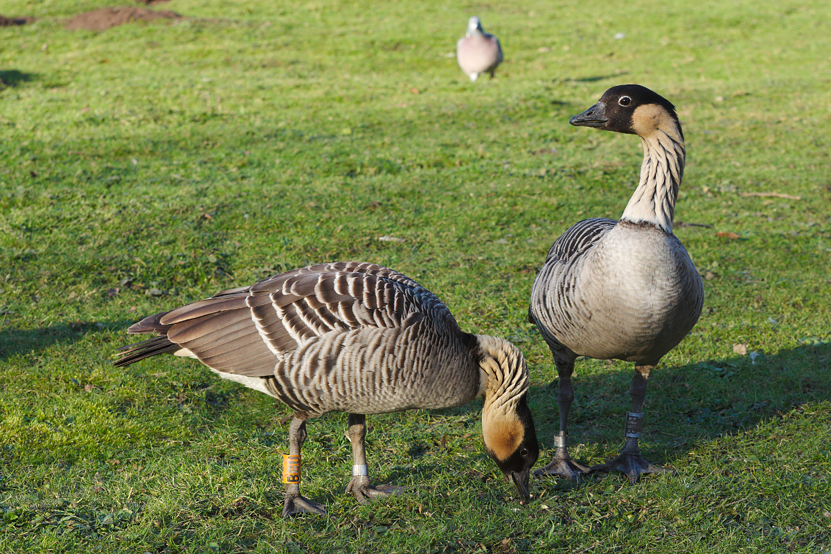


Frampton on Severn, United Kingdom
Frampton on Severn is a town of 1,432 people in England, United Kingdom.
Why visit Frampton on Severn
Townapedia lists 8 museums and landmarks, 1 park or trail, 5 places to eat and 1 place to stay in and around town.
Highlights include WWT Slimbridge.
Weather in Frampton on Severn
Forecast from MET Norway (CC BY 4.0). Full forecast
About Frampton on Severn
Frampton on Severn is a village and civil parish in Gloucestershire, England. The population is 1,432.
From the Wikipedia article Frampton on Severn (this version), under CC BY-SA 4.0.
Museums and landmarks8
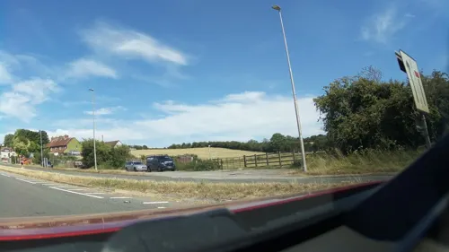


Old Stroudwater, pre Gloucester & Sharpness Canal
Monument and historic site · 0.9 mi
Parks, trails and playgrounds1

WWT Slimbridge
Park · 2.7 mi
Wetland nature reserve in Gloucestershire
Restaurants and cafes5

Where to stay1

History
The Domesday Book mentioned the manor of Frampton in 1089. The parish church of St Mary the Virgin was consecrated in 1315 but partly dates from the 12th century, while the congregational church was built in 1769.
The Elver Eating World Championships have been held annually at Frampton since 2015; an earlier elver eating competition had ended by 1990.
Hock Crib is a breakwater on the banks of the River Severn near Frampton on Severn. Built by Augustus Berkeley, 4th Earl of Berkeley, in 1739 to defend nearby farmlands from erosion and flooding, the breakwater's existence is acknowledged in numerous archives and records during the 18th century, including tidal defence plans in 1845 and redevelopment plans dating from 1877. The breakwater was an often-used point of reference for navigation of the river; however, it fell into disrepair and disappeared beneath the sandbanks. In December 2013, however, it emerged, and local historians were granted funds from the Bristol and Gloucestershire Archaeological Society to photograph and study it.
From the History section of Frampton on Severn on Wikipedia, under CC BY-SA 4.0.
More about Frampton on Severn
Geography
The village is approximately 10 miles (16 km) south of Gloucester, at grid reference SO750080. It lies on the east bank of the River Severn, and on the west bank of the River Frome, from which it takes its name. The village is linked by footpath to the Sharpness Canal.
There is a large village green, 22 acres (8.9 ha) in size and reputedly one of the longest in England. The green was known as Rosamund's Green by the mid-17th century, apparently from the village's association with Fair Rosamund. There is a designated Conservation Area around the green, including Tudor and Georgian houses, and the village also has a Site of Special Scientific Interest, Frampton Pools. Much of the village forms part of the Frampton Court Estate, owned by the Clifford family.
The Gloucester and Sharpness Canal runs to the west side of the village and the green has three ponds. There are two pubs on The Green: The Bell Inn and The Three Horseshoes.
From the Wikipedia article Frampton on Severn, under CC BY-SA 4.0.
Notable people from Frampton on Severn
 Edward J. RussellBritish agricultural scientist (1872–1965)Photo: Unknown author Unknown author, Public domain
- John WattsMember of the Queensland Legislative Assembly & Queensland Legislative Council (1821-1902)
Born in Frampton on Severn, according to Wikidata (CC0). Each name links to its Wikipedia article.
Churches and places of worship7
Gas and EV charging1
Schools, colleges and libraries2
Whitminster Endowed Church of England Primary School
School · Anglican · 1.4 mi
School Lane, Gloucester
Map of Frampton on Severn
25 places. The map loads OpenStreetMap tiles when you open it.
Getting there and nearby towns
Gloucestershire Airport (GLO) is the nearest airport with scheduled flights listed in OpenStreetMap, 12 miles away.
- Dursley 6 mi south, about 10 min by car
- Stroud 7 mi east, about 12 min by car
- Cinderford 7 mi northwest, about 11 min by car
- Painswick 7 mi east, about 12 min by car
- Huntley 7 mi north, about 12 min by car
- Gloucester 8 mi northeast, about 13 min by car
- Longhope 8 mi northwest, about 12 min by car
- Lydbrook 10 mi northwest, about 17 min by car
- Kingswood 10 mi south, about 16 min by car
- Churchdown 11 mi northeast, about 18 min by car
Drive times are estimates from straight-line distance, not routes.
Towns near Frampton on Severn


Keep exploring
Local news
Headlines from INDB.
Reviews, tips and questions
Loading what members have shared...
Sources and licences
- GeoNames (CC BY 4.0): population, coordinates, regions and time zone
- Mapillary (see each image): photos
- OpenStreetMap contributors (ODbL 1.0): places, airports, map data
- Wikidata (CC0 1.0): elevation, founding date, time zone, website, landmarks and historic places
- Wikimedia Commons (see each image): photos
- Wikipedia (CC BY-SA 4.0): overview and history text
Photo credits
- Nene Geese in Slimbridge, Biggerben, CC BY-SA 3.0
- Frampton church, Robin Poitou, CC BY-SA 3.0
- Trafalgar Oak Plaque, Samon53, CC BY-SA 4.0
- St. Mary the Virgin, Frampton-on-Severn (9625020036), Hugh Llewelyn from Keynsham, UK, CC BY-SA 2.0
- Street-level photo, OrangeHurst97, CC BY-SA 4.0
- Street-level photo, southglos, CC BY-SA 4.0
- Street-level photo, OrangeHurst97, CC BY-SA 4.0
- Street-level photo, southglos, CC BY-SA 4.0
- Street-level photo, southglos, CC BY-SA 4.0
Page built November 10, 2026. Spotted a mistake? Tell us or suggest a place.