


Mossley Hill, United Kingdom
Mossley Hill is a town of 12,041 people in England, United Kingdom.
Why visit Mossley Hill
Townapedia lists 32 museums and landmarks, 32 parks and trails, 161 places to eat, 4 places to stay and 4 attractions in and around town.
Highlights include Everyman Theatre, Liverpool Olympia, Sudley House and Calderstones Park.
Weather in Mossley Hill
Forecast from MET Norway (CC BY 4.0). Full forecast
About Mossley Hill
Mossley Hill is a suburb of Liverpool and ward of Liverpool City Council. Located 3.5 miles southeast of the city centre, it is bordered by the suburbs of Aigburth, Allerton, Childwall, and Wavertree. At the 2001 Census, the population was 12,650, increasing to 13,816 at the 2011 Census.
From the Wikipedia article Mossley Hill (this version), under CC BY-SA 4.0.
Things to do4

Everyman Theatre
Cinema and theater · 2.9 mi
Theatre and building in Liverpool, Merseyside, England

Liverpool Olympia
Cinema and theater · 3.2 mi
Theatre in Liverpool, Merseyside, England, UK

Unity Theatre
Cinema and theater · 3.0 mi
Theatre in Liverpool, Merseyside, England

Museums and landmarks32


Calderstones Park
Monument and historic site · 0.8 mi
Public park in Liverpool, England

20 Forthlin Road
Museum · 0.8 mi
House in which Paul McCartney had lived for several years

59 Rodney Street, Liverpool
Museum · 3.0 mi
Historic house museum in Liverpool

Mendips, Menlove Avenue
Museum · 1.3 mi
Childhood home of John Lennon in Liverpool, Merseyside, England, UK


Robin Hood's Stone
Monument and historic site · 0.6 mi
Menhir in Liverpool, Merseyside, England, UK

Speke Hall
Museum · 3.2 mi
Tudor house in Liverpool, Merseyside, England, UK

Victoria Gallery & Museum
Museum · 3.0 mi
Art gallery and museum in Liverpool, UK

Wavertree Lock-up
Monument and historic site · 1.5 mi
Funded by local residents, the lock-up was constructed in 1796 as a drunk tank to hold intoxicated persons overnight. Prior to its...
Childwall Road, Liverpool
John Lennon's Childhood Home
Monument and historic site · 1.3 mi
251 Menlove Avenue, Liverpool
Paul McCartney's Childhood Home
Monument and historic site · 0.8 mi
20 Forthlin Road, Liverpool
20 more on the map.
Parks, trails and playgrounds32
Sefton Park
Park · 1.0 mi
Public park in south Liverpool, Merseyside, England, UK

Wavertree Playground
Park · 1.3 mi
Public playground in Liverpool, UK

Allerton Tower Park
Park · 1.5 mi
Public park on what was a country estate

Belle Vale Park
Park · 1.0 mi
Small family park in the Belle Vale area of Liverpool


Newsham Park
Park · 3.1 mi
Park in Liverpool, Merseyside, England, UK


Liverpool Municipal South (Allerton) Golf Course
Golf course · 1.2 mi
18 hole Par 67 & 9 hole Par 34
Allerton Road, Liverpool
20 more on the map.
Restaurants and cafes161
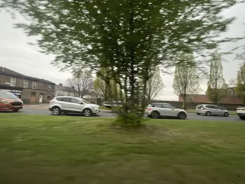
5 Fifty Bistro
Cafe · Bistro · 1.0 mi
550 Aigburth Road, Liverpool
Mo-We Off; Th-Sa 18:00-22:00; Su 13:00-17:30
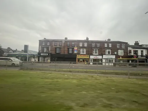
Christakis
Restaurant · Greek · 1.0 mi
544-548 Aigburth Road, Liverpool
Mo-Sa 15:00-23:00; Su 15:00-22:00

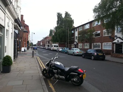
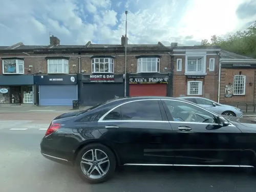


Amakura
Cafe · 0.6 mi
1-3 Booker Avenue, Liverpool
Mo-Th 09:30-16:00
Cucina di Vincenzo's
Restaurant · Italian · 1.1 mi
256 Woolton Road, Liverpool
12:00-10:00

The Tavern Company
Restaurant · Breakfast, American, Mexican · 0.9 mi
619-625 Smithdown Road, Liverpool
149 more on the map.
Notable people from Mossley Hill
 Kim CattrallBritish–Canadian actress (born 1956)Photo: UKinUSA, CC BY-SA 2.0
 Ian McNabbEnglish recording artist; singer-songwriter and musicianPhoto: John Kidd, CC BY-SA 3.0
- Jimmy BlainBritish association football player (born 1940)
- Zoe TynanEnglish footballer
- John Hobhouse, Baron Hobhouse of WoodboroughBritish judge (1932-2004)
Born in Mossley Hill, according to Wikidata (CC0). Each name links to its Wikipedia article.
Where to stay4
Churches and places of worship82
Shopping23
Gas and EV charging4
Schools, colleges and libraries50
Our Lady's Bishop Eton Catholic Primary School
School · Roman Catholic · 1.0 mi
Green Lane, Liverpool
Healthcare17
Smithdown Children's NHS Walk-in Centre
Clinic and pharmacy · 1.4 mi
Smithdown Road, Liverpool
Map of Mossley Hill
250 places. The map loads OpenStreetMap tiles when you open it.
Getting there and nearby towns
Liverpool John Lennon Airport (LPL) is the nearest airport with scheduled flights listed in OpenStreetMap, 4 miles away.
- Childwall 2 mi northeast, about 2 min by car
- Woolton 2 mi east, about 3 min by car
- Dingle 2 mi west, about 3 min by car
- Old Swan 3 mi north, about 4 min by car
- Knotty Ash 3 mi north, about 4 min by car
- Bromborough 3 mi southwest, about 5 min by car
- Liverpool 4 mi northwest, about 6 min by car
- Halewood 4 mi east, about 6 min by car
- Birkenhead 4 mi west, about 7 min by car
- Speke 4 mi southeast, about 6 min by car
Drive times are estimates from straight-line distance, not routes.
Towns near Mossley Hill


Keep exploring
Local news
Headlines from INDB.
Reviews, tips and questions
Loading what members have shared...
Sources and licences
- GeoNames (CC BY 4.0): population, coordinates, regions and time zone
- Mapillary (see each image): photos
- OpenStreetMap contributors (ODbL 1.0): places, airports, map data
- Wikidata (CC0 1.0): elevation, founding date, time zone, website, landmarks and historic places
- Wikimedia Commons (see each image): photos
- Wikipedia (CC BY-SA 4.0): overview and history text
Photo credits
- Mossley Hill, Frombowen, CC BY-SA 4.0
- Mossley Hill TA Centre, John M, CC BY-SA 2.0
- Everyman Theatre, Liverpool 2018, Rodhullandemu, CC BY-SA 4.0
- Liverpool Olympia 2018, Rodhullandemu, CC BY-SA 4.0
- Entrance of Unity Theatre, Liverpool, Rodhullandemu, CC BY-SA 4.0
- Sudley House Liverpool, Man vyi, Public domain
- Calderstones House, Sue Adair, CC BY-SA 2.0
- 59 Rodney Street, Liverpool 2020, Rodhullandemu, CC BY-SA 4.0
- Robin Hood's Stone 1, Rodhullandemu, CC BY-SA 4.0
- Speke Hall moated site, Liverpoolpics, CC BY-SA 3.0
- Victoria Gallery and Museum University of Liverpool, XeresNelro, CC BY-SA 4.0
- Wavertree Playground, Frombowen, CC BY-SA 4.0
- Lodge of Allerton Towers 2019, Rodhullandemu, CC BY-SA 4.0
- Belle Vale Park, Liverpool (1), Rept0n1x, CC BY-SA 3.0
- Clarkes Gardens, Allerton (1), Reptonix free Creative Commons licensed photos, CC BY 3.0
- Grants Gardens, July 07, 2012 (9), John Bradley, CC BY-SA 3.0
- Newsham Park 006, John Bradley, CC BY-SA 3.0
- All Saints, Speke, Rodhullandemu, CC BY-SA 4.0
- All Saints, Childwall from the south, Rodhullandemu, CC BY-SA 4.0
- Christ Church, Linnet Lane, Liverpool (6), Rept0n1x, CC BY-SA 3.0
- All Hallows, Allerton 1, Rodhullandemu, CC BY-SA 3.0
- St Andrew's Church, Rodney Street 2019-1, Rodhullandemu, CC BY-SA 4.0
- St Bridget's Church, Wavertree, Sue Adair, CC BY-SA 2.0
- StJohnTheBaptist, S Parish, CC BY-SA 2.0
- Frontage, St Anne's Aigburth 1, Rodhullandemu, CC BY-SA 4.0
- St Clare's 201711-1, Rodhullandemu, CC BY-SA 4.0
- St Clement, Beaumont Street, Rodhullandemu, CC BY-SA 3.0
- St Dunstan's church, Liverpool (3), Rept0n1x, CC BY-SA 3.0
- St James in the City from the south, Rodhullandemu, CC BY-SA 4.0
- Paulhousenationaltrust, Havaska at English Wikipedia, CC BY-SA 3.0
- Mendips 202001, Rodhullandemu, CC BY-SA 4.0
- Sefton Park Palm House, Liverpool, England-26Dec2009, Ben James, CC BY-SA 2.0
- St Hilda's Church of England High School, Frombowen, CC BY-SA 4.0
- St Margaret's Church of England Academy, Frombowen, CC BY-SA 4.0
- Wavertree lockup 1, Rodhullandemu, CC BY-SA 4.0
- The Albert Public House Including Lamp Holders, Liverpoolpics, CC BY-SA 3.0
- Childwall Church of England Primary School, Frombowen, CC BY-SA 4.0
- Our Lady's Bishop Eton Catholic Primary School, Frombowen, CC BY-SA 4.0
- St Charles' Catholic Primary School, Frombowen, CC BY-SA 4.0
- Carleton House Preparatory School, Frombowen, CC BY-SA 4.0
- St Austin's Catholic Primary School, Frombowen, CC BY-SA 4.0
- Auckland College, Frombowen, CC BY-SA 4.0
- Mossley Hill Athletic 1, Rodhullandemu, CC BY-SA 3.0
- Court Hey Park, Frombowen, CC BY-SA 4.0
- Green Park Hotel, Liverpool, Rodhullandemu, CC BY-SA 3.0
- Street-level photo, filipb, CC BY-SA 4.0
- Street-level photo, filipb, CC BY-SA 4.0
- Street-level photo, thingomy, CC BY-SA 4.0
- Street-level photo, ricorico, CC BY-SA 4.0
- Street-level photo, filipb, CC BY-SA 4.0
- Street-level photo, cyclestreets, CC BY-SA 4.0
- Street-level photo, thingomy, CC BY-SA 4.0
- Street-level photo, thingomy, CC BY-SA 4.0
- Street-level photo, thingomy, CC BY-SA 4.0
- Street-level photo, thingomy, CC BY-SA 4.0
- Street-level photo, victuallers, CC BY-SA 4.0


Page built November 10, 2026. Spotted a mistake? Tell us or suggest a place.