


Why visit Speke
Townapedia lists 5 museums and landmarks, 11 parks and trails, 40 places to eat, 4 places to stay and 1 attraction in and around town.
Highlights include Hale Head Lighthouse, Speke Hall, 20 Forthlin Road and Allerton Tower Park.
Weather in Speke
Forecast from MET Norway (CC BY 4.0). Full forecast
About Speke
Speke () is a suburb of Liverpool, in Merseyside, England. It lies 8 miles (13 km) south-east of the city centre and near to the widest part of the river Mersey. It is bordered by the suburbs of Garston and Hunts Cross, and the rural area of Oglet to its south; it is located near to Halewood, Hale and Widnes.
From the Wikipedia article Speke (this version), under CC BY-SA 4.0.
Photos of Speke


Things to do1

Museums and landmarks5

Speke Hall
Museum · 1.4 mi
Tudor house in Liverpool, Merseyside, England, UK
The Walk

20 Forthlin Road
Museum · 3.1 mi
House in which Paul McCartney had lived for several years

Mendips, Menlove Avenue
Museum · 3.0 mi
Childhood home of John Lennon in Liverpool, Merseyside, England, UK

Robin Hood's Stone
Monument and historic site · 3.3 mi
Menhir in Liverpool, Merseyside, England, UK

Parks, trails and playgrounds11

Allerton Tower Park
Park · 2.5 mi
Public park on what was a country estate


Hale Duck Decoy
Park · 2.3 mi
Duck decoy and nature reserve in Halton, Cheshire, England, UK


Speke and Garston Coastal Reserve
Park · 1.9 mi
Nature reserve in Liverpool, UK
Restaurants and cafes40
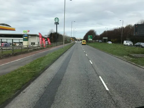
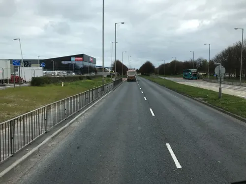
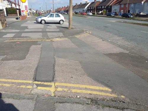





28 more on the map.
History
The name derives from the Old English Spec, meaning 'brushwood' or from Middle English Spek(e), meaning 'woodpecker'. It was known as Spec in the Domesday Book, which gave Speke Hall as one of the properties held by Uctred; today, the hall is a Tudor wood-framed house and is open to the public.
In the mid 14th century, the manors of Speke, Whiston, Skelmersdale, and Parr were held by William Dacre, 2nd Baron Dacre.
Speke was formerly a township in the parish of Childwall; in 1866, Speke became a separate civil parish and the parish was abolished and merged with Liverpool on 1 April 1932. In 1931, the parish had a population of 384.
Until the 1930s development by Sir Lancelot Keay, Speke was a small village with a population of 400; by the end of the 1950s, more than 25,000 people were living in the area. The local All Saints Church was built by the last resident owner of Speke Hall, Miss Adelaide Watt.
From 1795 until 1921, the Speke estate had belonged to the Watt family; when the family died out, the estate was placed in trust. It was bought by the Liverpool Corporation in 1928 for £200,000; the corporation's intention was to build a complete self-contained satellite town, at a time when the garden city movement was underway. The parish of Speke became part of the county borough of Liverpool in 1932, having previously belonged to the Whiston Rural District.
Read more of the history
Constructed between 1930 and 1933, Speke Airport was the second busiest in the UK by the start of World War II. Retention of control by the Ministry of Civil Aviation in London after the war meant that it had lost its leading position in the UK by the 1950s. The industrial rise of Speke continued until the mid-1970s, when an equally rapid decline ensued over the next 20 years, particularly during the recessions of the early 1980s and early 1990s. The closure of the Bryant and May match factory in December 1994 was a noted example of these problems, as was the closure of the Triumph car plant more than a decade before. The area has however retained a cluster of pharmaceutical facilities, with companies operating there including Elanco, MedImmune and Novartis.
When the 2000 Index of Multiple Deprivation was published, Speke was revealed to be the second most deprived of all 8,414 wards in England and Wales. Only Benchill, in Manchester, had a higher level of poverty.
From the History section of Speke on Wikipedia, under CC BY-SA 4.0.
Where to stay4
Hampton by Hilton Liverpool/John Lennon Airport
Motel and hotel · 0.6 mi
Speke Hall Avenue, Liverpool
Churches and places of worship18
Shopping11
Gas and EV charging5
Schools, colleges and libraries9
St Andrew the Apostle Catholic Primary School
School · Roman Catholic · 1.3 mi
Higher Road, Liverpool
Healthcare2
Map of Speke
106 places. The map loads OpenStreetMap tiles when you open it.
Getting there and nearby towns
Liverpool John Lennon Airport (LPL) is the nearest airport with scheduled flights listed in OpenStreetMap, 1 miles away.
- Woolton 3 mi northwest, about 4 min by car
- Liverpool 7 mi northwest, about 12 min by car
- West Derby 7 mi northwest, about 11 min by car
- Birkenhead 8 mi northwest, about 13 min by car
- St Helens 9 mi northeast, about 14 min by car
- Warrington 11 mi east, about 18 min by car
- Wigan 16 mi northeast, about 26 min by car
- Winsford 17 mi southeast, about 27 min by car
- Westhoughton 19 mi northeast, about 31 min by car
- Bolton 24 mi northeast, about 38 min by car
Drive times are estimates from straight-line distance, not routes.
Towns near Speke


Keep exploring
Local news
Headlines from INDB.
Reviews, tips and questions
Loading what members have shared...
Sources and licences
- GeoNames (CC BY 4.0): population, coordinates, regions and time zone
- Mapillary (see each image): photos
- OpenStreetMap contributors (ODbL 1.0): places, airports, map data
- Wikidata (CC0 1.0): elevation, founding date, time zone, website, landmarks and historic places
- Wikimedia Commons (see each image): photos
- Wikipedia (CC BY-SA 4.0): overview and history text
Photo credits
- Speke, Frombowen, CC BY-SA 4.0
- Post box on South Parade, Speke, Rodhullandemu, CC BY-SA 3.0
- Speke post office, Rodhullandemu, CC BY-SA 3.0
- Speke Hall, Ian Livesey, CC BY-SA 2.0
- Hale Lighthouse, Peter I. Vardy, Public domain
- Speke Hall moated site, Liverpoolpics, CC BY-SA 3.0
- Paulhousenationaltrust, Havaska at English Wikipedia, CC BY-SA 3.0
- Mendips 202001, Rodhullandemu, CC BY-SA 4.0
- Robin Hood's Stone 1, Rodhullandemu, CC BY-SA 4.0
- Lodge of Allerton Towers 2019, Rodhullandemu, CC BY-SA 4.0
- Clarkes Gardens, Allerton (1), Reptonix free Creative Commons licensed photos, CC BY 3.0
- Hale-Duck Decoy 2, No machine-readable author provided. Peter I. Vardy assumed (based on copyright claims)., Public domain
- Walled Garden Woolton Woods, Beno1000, CC BY-SA 2.5
- Christ Church, Weston Point 2, George Robinson, CC BY-SA 2.0
- St Austin's Church, Grassendale, Rept0n1x, CC BY-SA 3.0
- St Mary's Church, Grassendale, Rept0n1x, CC BY-SA 3.0
- Hale Church 1, Peter I. Vardy, Public domain
- St. Stephens Church, Gateacre, Liverpool, Sue Adair, CC BY-SA 2.0
- St Peter's Church, Woolton (1), Reptonix free Creative Commons licensed photos, CC BY 3.0
- All Saints, Speke, Rodhullandemu, CC BY-SA 4.0
- St Ambrose church, Speke 1, Rodhullandemu, CC BY-SA 4.0
- SPEKE CHURCH LIVERPOOL JULY 2013 (9301019904), calflier001, CC BY-SA 2.0
- N42LJ at Liverpool LJ 20161031-3, Rodhullandemu, CC BY-SA 3.0
- N42LJ at Liverpool LJ 20161031-2, Rodhullandemu, CC BY-SA 3.0
- N42LJ at Liverpool LJ 20161031-1, Rodhullandemu, CC BY-SA 3.0
- Parklands Library, Frombowen, CC BY-SA 4.0
- Street-level photo, thingomy, CC BY-SA 4.0
- Street-level photo, thingomy, CC BY-SA 4.0
- Street-level photo, thingomy, CC BY-SA 4.0
- Street-level photo, ricorico, CC BY-SA 4.0
- Street-level photo, ricorico, CC BY-SA 4.0
- Street-level photo, thingomy, CC BY-SA 4.0
- Street-level photo, ricorico, CC BY-SA 4.0
- Street-level photo, ricorico, CC BY-SA 4.0
- Street-level photo, thingomy, CC BY-SA 4.0


Page built November 10, 2026. Spotted a mistake? Tell us or suggest a place.