


Why visit Weeting
Townapedia lists 7 museums and landmarks, 5 parks and trails, 27 places to eat and 3 places to stay in and around town.
Highlights include Weeting Castle, Brandon Heritage Centre, Brandon Country Park and Thetford Forest.
Weather in Weeting
Forecast from MET Norway (CC BY 4.0). Full forecast
About Weeting
Weeting is a village in Norfolk, England. The population can be found in the civil parish of Weeting-with-Broomhill.
From the Wikipedia article Weeting (this version), under CC BY-SA 4.0.
Museums and landmarks7


Brandon Heritage Centre
Museum · 1.3 mi
The Heritage of Brandon, pre history to today.
33 George Street, Brandon
Apr-Oct: Sa-Su 10:00-16:00

Sheepwash Stanch
Monument and historic site · 1.5 mi
Probable site and remains (on South bank) of Sheepwash Stanch
Parks, trails and playgrounds5




Weeting Heath
Hiking and trails · 1.1 mi
Hockwold Road, Brandon
week 11 Sa-Su 09:30-16:30; week 12-29 09:30-16:30; Jul...
Restaurants and cafes27
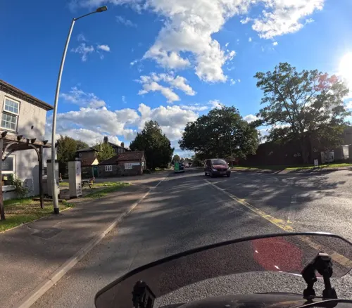
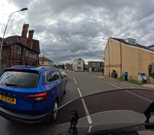
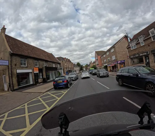
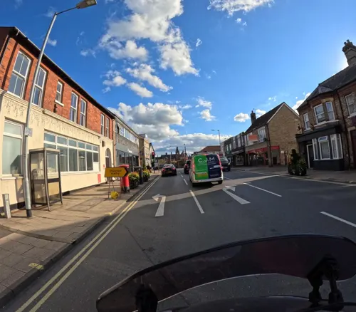
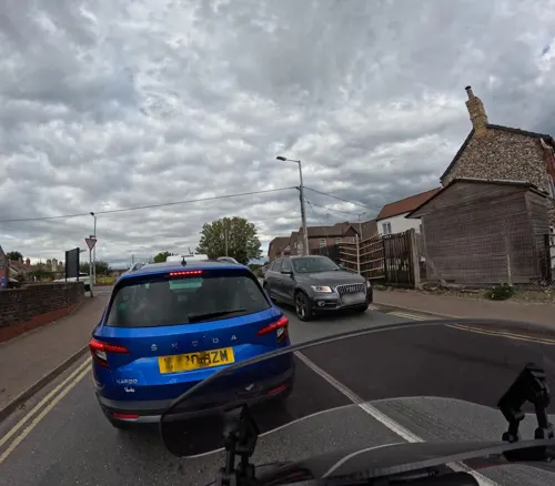
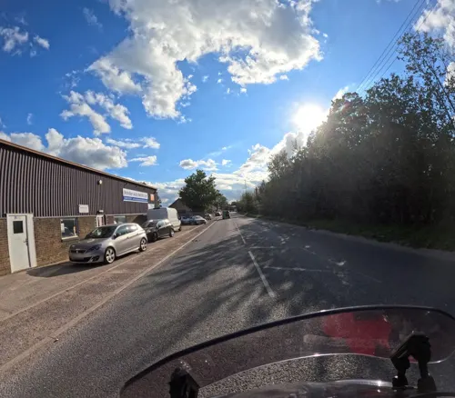



15 more on the map.
Where to stay3
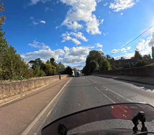
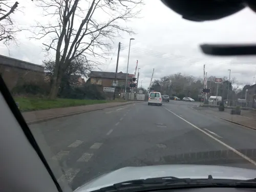

Churches and places of worship9
Brandon Church of Christ
Church · Church Of Christ · 1.3 mi
69 London Road, Brandon
The Harvest Christian Centre
Church · Full Gospel · 0.6 mi
Fengate Drove, Brandon
Shopping7
Gas and EV charging2
Schools, colleges and libraries4
Healthcare1
Map of Weeting
65 places. The map loads OpenStreetMap tiles when you open it.
Getting there and nearby towns
RAF Lakenheath (LKZ) is the nearest airport with scheduled flights listed in OpenStreetMap, 5 miles away.
- Thetford 7 mi southeast, about 11 min by car
- Mildenhall 9 mi southwest, about 15 min by car
- Downham Market 14 mi northwest, about 22 min by car
- Bury St Edmunds 16 mi south, about 25 min by car
- Ely 16 mi west, about 25 min by car
- Attleborough 17 mi east, about 28 min by car
- Newmarket 18 mi southwest, about 28 min by car
- East Dereham 20 mi northeast, about 32 min by car
- King's Lynn 22 mi northwest, about 35 min by car
- Diss 22 mi east, about 35 min by car
Drive times are estimates from straight-line distance, not routes.
Towns near Weeting


Keep exploring
Local news
Headlines from INDB.
Reviews, tips and questions
Loading what members have shared...
Sources and licences
- GeoNames (CC BY 4.0): population, coordinates, regions and time zone
- Mapillary (see each image): photos
- OpenStreetMap contributors (ODbL 1.0): places, airports, map data
- Wikidata (CC0 1.0): elevation, founding date, time zone, website, landmarks and historic places
- Wikimedia Commons (see each image): photos
- Wikipedia (CC BY-SA 4.0): overview and history text
Photo credits
- St Mary's church Weeting Norfolk (1077668690), David from Colorado Springs, United States, CC BY 2.0
- Thetford forest dtab, No machine-readable author provided. DemonTraitor assumed (based on copyright claims)., CC BY-SA 2.5
- Brandon - Church of St Peter, Keith Evans, CC BY-SA 2.0
- 1955 Morris LD 1 ton flatbed lorry (5948282752), Clinton & Charles Robertson from RAF Lakenheath, UK & San Marcos, TX, USA & UK, CC BY 2.0
- Weeting Castle, Martin Neylon, CC BY-SA 4.0
- Trail arrows at Brandon Country Park, Bongo50, CC BY-SA 4.0
- Street-level photo, wasd42, CC BY-SA 4.0
- Street-level photo, wasd42, CC BY-SA 4.0
- Street-level photo, wasd42, CC BY-SA 4.0
- Street-level photo, wasd42, CC BY-SA 4.0
- Street-level photo, gumby, CC BY-SA 4.0
- Street-level photo, wasd42, CC BY-SA 4.0
- Street-level photo, wasd42, CC BY-SA 4.0
- Street-level photo, gumby, CC BY-SA 4.0
- Street-level photo, wasd42, CC BY-SA 4.0
- Street-level photo, wasd42, CC BY-SA 4.0
- Street-level photo, gumby, CC BY-SA 4.0
- Street-level photo, wasd42, CC BY-SA 4.0
- Street-level photo, wasd42, CC BY-SA 4.0
- Street-level photo, wasd42, CC BY-SA 4.0
Page built November 10, 2026. Spotted a mistake? Tell us or suggest a place.