


Nether Heyford, United Kingdom
Nether Heyford is a town of 1,637 people in England, United Kingdom.
Why visit Nether Heyford
Townapedia lists 5 museums and landmarks, 9 parks and trails, 16 places to eat, 3 places to stay and 4 attractions in and around town.
Highlights include Bugbrooke Meadow and Bugbrooke Meadows.
Weather in Nether Heyford
Forecast from MET Norway (CC BY 4.0). Full forecast
About Nether Heyford
Nether Heyford is a village and civil parish in West Northamptonshire, England, close to the M1 motorway and the A5 and A45 roads, 6 miles (10 km) west of Northampton and 70 miles (113 km) northwest of London. The smaller village of Upper Heyford is about half a mile to the north.
From the Wikipedia article Nether Heyford (this version), under CC BY-SA 4.0.
Things to do4

Museums and landmarks5

Parks, trails and playgrounds9

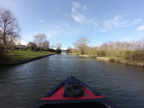

Ramsden Corner Plantation
Park · 2.6 mi
Nature reserve in the United Kingdom

Restaurants and cafes16
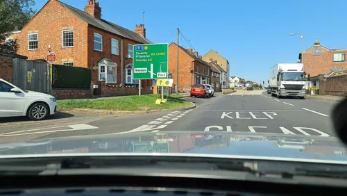
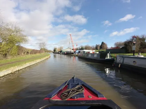
The Narrow Boat
Bar and pub · 1.2 mi
Watling Street, Northampton
Mo-Sa 08:00-10:00; Su 10:00-20:00
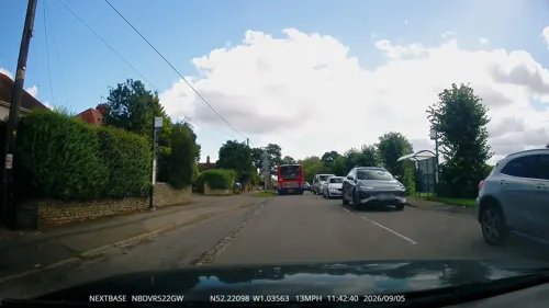
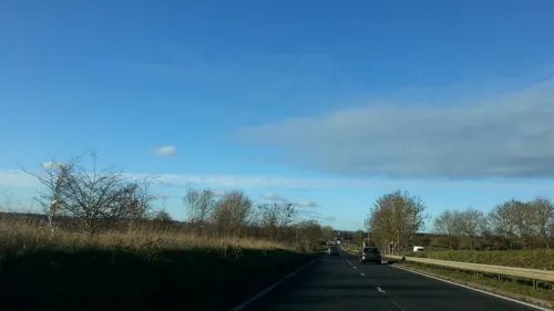



4 more on the map.
History
The area was occupied during the Roman period and two sites have been discovered.
The landholders in Heyford prior to the Norman Conquest had been Aelid and Wulfstan. With the invasion of William the Conqueror the landholding was transferred to the Bishop of Bayeux, Gilbert of Ghent, and Robert, Count of Mortain, a half brother of King William.
The Domesday Book of 1086 recorded that 'Heiford' consisted of three hides and five virgates of cultivated land. This equates to about 500 acres. There were also nineteen acres of meadow and a mill valued at 16s. There were eight ploughs in use, and the records included mention of 11 villagers, three smallholders, and four slaves.
The 1200s in Heyford saw the building of the Church. The first Rector was Ralph in 1216. It was also a period when ridge and furrow farming was at its peak. There are still several examples existing around the village.
In 1313 John de Pateshull 'levied a fine of a manor' here and in 1316 he was certified to be lord of the manor. In 1360 after the death of Sir William de Pateshull the manor was assigned to Catherine, the wife of Sir Robert de Tudenham with whose successors in continued into the 1400s. The original Manor House was at Upper Heyford and its remains can still be seen.
Read more of the history
Heyford Manor became occupied by the Mauntells. Sir Walter Mauntell died in 1467 during the Wars of the Roses. He was buried in Heyford Church where his tomb remains. It bears portrait brasses of himself and his wife. His monumental brass shows him in armour. He was descended from Michael Mauntell of 'Rode' and married Elizabeth, daughter of John Lumley (also reputed to be of Heyford). In 1477 his son 'John Mauntell levied a fine of the Manor and 35 messuages in fee-simple'.
John Stanbridge was born at Nether Heyford in the late 1400s. He was one of the first men to prepare a book of English grammar to be printed.
Times were tempestuous for the incumbents of the manor of Heyford. The manor continued to be in the hands of the Mauntells. However, in 1541, John Mauntell, "sallying forth in company with his brother-in-law, Lord Dacre, and others on a nocturnal frolic to chase the deer in St Nicholas Pelham's Park in Sussex, encountered three men, one of whom being mortally wounded in the affray. He and his associates were convicted of murder, executed, and their estates escheated to the Crown".
Then in 1553, John's only son Walter "engaged the Kentish insurrection to approve the marriage of Queen Mary, headed by Sir Thomas Wyatt, and was taken prisoner with him, sent to the Tower, and subsequently executed in Kent on 27th Feb, 1553". He lost his estate to the Crown, though the Manor House was kept by the family because John Mauntell had made a settlement of the manor to his wife Anne. Anne took a second husband, Richard Johnson, who together with Francis Morgan, 'serjeant-in-law', 'levied a fine of the three manors of Heyford, Over Heyford, and Nether Heyford, and the Advowson of Nether Heyford.
Then Francis Morgan obtained the 'fee simple' and so the manor passed into the hands of the Morgans. Francis and his wife Anne are buried at Heyford. Francis died in 1558 and the estate passed to his son Thomas. Francis and his wife were buried in the church where their tomb can be seen. It bears a statue of them both with Francis in his judge's robes.
Meanwhile, in 1560, Heyford Grange became occupied by Thomas Judkin. It continued to be occupied by his family until 1925 on the death of Anne Judkin.
Heyford parish church acquired three of its four bells. The first two were installed in 1601, one of which was inscribed 'Thomas Morgan gave me to the Church, frank and free'. A third bell was added in 1638 and a fourth in 1704.
During the 1600s the manor estates changed hands several times. Thomas Morgan passed them to his daughter, who married Sir John Preston of Furness in Lancashire. From him the estates passed to his brother Sir Thomas Preston. In 1685 he settled the manors of Heyford and Nether Heyford on his daughter Mary, who married William Lord Herbert, son and heir of William, Earl of Powis. However, it is believed that the original Manor House building became derelict during this period. An entry in the Parish Registers of 1652 (during the Commonwealth period) states that the building was unoccupied and 'lying open to vagrants'.
In 1674, William Bliss, a native of Heyford now living in Southwark and trading in wine, endowed, via his will, the village with a sum of £400 to purchase a School House (i.e. school room) and to pay for a School Master. The School was to be free to all children living in the Heyfords and also to any children by the name of Bliss living within 5 miles. The School eventually opened in 1683 with Rev. Gray as School Master.
In 1789, the Rev Charles Crawley became Rector of Stowe. He and his family ran the churches of Heyford and Stowe under high church principles. However, he had come to the village at a time when the area was saturated with Protestantism. The Society of Friends, or Quakers, had become established in the late 1600s. Meeting houses were set up in Flore in 1678, and Bugbrooke in 1692. The minutes of these meetings showed that there were regular attendees from Heyford. The Baptist movement was also becoming established, and records of the Castle Hill Baptist Chapel in Northampton include references to members living in Heyford.
The current Manor House building near the church is believed to have been built around 1740 by William, the third Marquis of Powis, using stone from the original house at Upper Heyford. In the late 1700s it was occupied by Henry Jephcott, rector of Heyford. When he died in 1800, the property passed to his daughter Elizabeth and her husband, R B Hughes, rector of Kislingbury.
In 1750 the enclosure award for Heyford was made and the large open fields were enclosed, creating smaller fields.
From the History section of Nether Heyford on Wikipedia, under CC BY-SA 4.0.
Where to stay3
Churches and places of worship11
Flore United Reformed Church
Church · United Reformed · 1.3 mi
Chapel Lane, Northampton
St Michael's,Stowe Nine Churches
Church · Anglican · 1.4 mi
Main Street, Northampton
St. Michael & All Angels Church
Church · Anglican · 1.1 mi
Church Lane, Northampton
United Reformed Church
Church · United Reformed · 1.9 mi
Church Street, Northampton
Gas and EV charging3
Schools, colleges and libraries4
Healthcare2
Knights Pharmacy Weedon
Clinic and pharmacy · 1.9 mi
1 Bridge Street, Northampton
Map of Nether Heyford
57 places. The map loads OpenStreetMap tiles when you open it.
Getting there and nearby towns
Sywell Aerodrome (ORM) is the nearest airport with scheduled flights listed in OpenStreetMap, 12 miles away.
- Flore 1 mi northwest, about 2 min by car
- Harpole 2 mi northeast, about 4 min by car
- Kislingbury 2 mi east, about 4 min by car
- Blisworth 5 mi southeast, about 8 min by car
- Daventry 6 mi northwest, about 9 min by car
- Northampton 7 mi east, about 11 min by car
- Spratton 8 mi northeast, about 13 min by car
- West Haddon 9 mi north, about 14 min by car
- Braunston 9 mi northwest, about 14 min by car
- Hartwell 9 mi southeast, about 15 min by car
Drive times are estimates from straight-line distance, not routes.
Towns near Nether Heyford


Keep exploring
Local news
Headlines from INDB.
Reviews, tips and questions
Loading what members have shared...
Sources and licences
- GeoNames (CC BY 4.0): population, coordinates, regions and time zone
- Mapillary (see each image): photos
- OpenStreetMap contributors (ODbL 1.0): places, airports, map data
- Wikidata (CC0 1.0): elevation, founding date, time zone, website, landmarks and historic places
- Wikimedia Commons (see each image): photos
- Wikipedia (CC BY-SA 4.0): overview and history text
Photo credits
- Nether-Heyford-church-by-Ian-Rob, Ian Rob, CC BY-SA 2.0
- Bugbrooke Meadow nature reserve 2, Dudley Miles, CC BY-SA 4.0
- Street-level photo, tallguy, CC BY-SA 4.0
- Street-level photo, OpenFaceMapper, CC BY-SA 4.0
- Street-level photo, alexanderar, CC BY-SA 4.0
- Street-level photo, alexanderar, CC BY-SA 4.0
- Street-level photo, tallguy, CC BY-SA 4.0
- Street-level photo, alexanderar, CC BY-SA 4.0
- Street-level photo, OpenFaceMapper, CC BY-SA 4.0
- Street-level photo, OpenFaceMapper, CC BY-SA 4.0
- Street-level photo, OpenFaceMapper, CC BY-SA 4.0
- Street-level photo, alexanderar, CC BY-SA 4.0
- Street-level photo, southglos, CC BY-SA 4.0
- Street-level photo, adam2, CC BY-SA 4.0
- Street-level photo, tallguy, CC BY-SA 4.0
- Street-level photo, alexanderar, CC BY-SA 4.0
- Street-level photo, tallguy, CC BY-SA 4.0
- Street-level photo, adam2, CC BY-SA 4.0
Page built November 10, 2026. Spotted a mistake? Tell us or suggest a place.