


Why visit Harpole
Townapedia lists 3 museums and landmarks, 15 parks and trails, 26 places to eat, 2 places to stay and 5 attractions in and around town.
Highlights include Jam, Jenneys, Althorp and Bugbrooke Meadow.
Weather in Harpole
Forecast from MET Norway (CC BY 4.0). Full forecast
About Harpole
Harpole is a village and civil parish in Northamptonshire, England. The village lies to the North of the A4500 road (formerly the A45), 4 miles (6.4 km) west of Northampton and 1 mile (1.6 km) northeast of junction 16 of the M1 motorway. At the 2011 Census, the civil parish had a population of 1,546.
From the Wikipedia article Harpole (this version), under CC BY-SA 4.0.
Things to do5
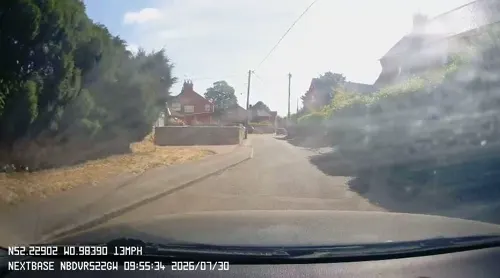
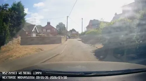
Jenneys
Farm and orchard · 1.0 mi
Large Fresh Eggs, Potatoes, carrots ,Caul, Onions, Mushrooms, Leeks, Parsnips, Cabbages, Brussels, Swedes,
Mo-Su 07:00-19:00

Museums and landmarks3

Althorp
Museum · 2.7 mi
Stately home and estate in West Northamptonshire, England, UK

Parks, trails and playgrounds15


Duston Mill Meadow
Park · 2.5 mi
Nature reserve in the United Kingdom

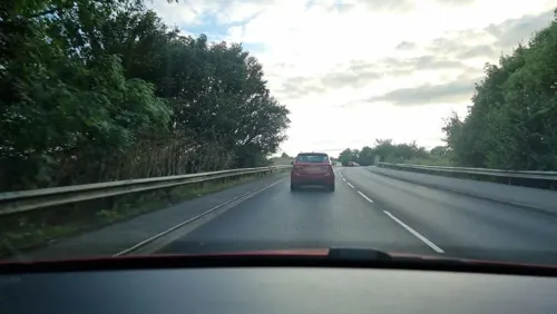
Kingsthorpe Meadow
Park · 3.5 mi
Nature reserve in the United Kingdom




3 more on the map.
Restaurants and cafes26
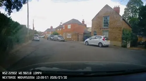
Sun Inn
Bar and pub · 1.0 mi
6 Mill Road, Northampton
Mo-Fr 17:00-23:00; Sa,Su 11:00-23:00
The Carriage @ Kislingbury Sunnies and Spooks
Cafe · Coffee Shop · 1.2 mi
Rothersthorpe Road, Northampton
Cromwell Cottage
Bar and pub · 0.9 mi
1 High Street, Northampton
Mo-Th 11:00-23:00; Fr 11:00-24:00; Sa 09:00-24:00; Su 09:00-22:30
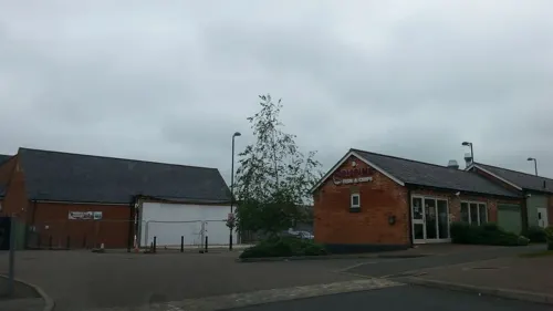
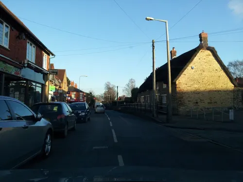

Olde Red Lion
Bar and pub · Burger, Coffee Shop, Fine Dining, Fish, Fish And Chips · 1.0 mi
15 High Street, Northampton
Tu 17:00-22:00; Su, We-Th 12:00-22:00; Fr-Sa 12:00-23:30

La Terraza
Restaurant · Spanish · 1.9 mi
53 Latchet Lane, Northampton
Tu-Th 18:00-21:00; Fr,Sa 12:00-22:00; Su 12:00-18:00
The Live And Let Live
Bar and pub
10 Larkhall Lane, Northampton
Mo-Tu 16:00-22:00, We 12:00-15:00,17:00-23:00,Th 16:00-23:00,...

14 more on the map.
History
Evidence indicates that Neolithic, Bronze and Iron Age settlement occurred within the parish. Roman settlement is more certain with the area around Harpole being forming part of a wider Roman landscape dominated by villa estates. The former Roman road from Bannaventa to Duston passes to the north of the settlement on the rough alignment of the current Duston, Nobottle, Brington Road. A Roman mosaic floor uncovered in 1846-48 identifies the site of a Roman villa north of the village. It has the scheduled monument reference number of 1003901.
Harpole is mentioned in the Domesday Book of 1086, with a recorded population of 27. The tenant in chief was William Peverel who held 2½ hides in Harpole. The total amount of arable land within the parish was 6 carucates. Other resources included 10 acres of meadow land and 10 acres of woodland. There was also a mill and Domesday recorded a priest which suggests that by the time the first Rector of Harpole was appointed in 1224 that there was probably a well-established church within the settlement.
The village grew round two separate medieval manors, the Tanfield Manor and the St Hillery Manor (later known as the Vaux Manor), the exact locations of which are not clear. This feature contributed to the linear shape of the historic village centre.
Read more of the history
In the 17th century, after the feudal manorial lands had been broken up into parcels of land, and had been sold to local yeomen, Harpole experienced a burst of building activity typical of much of the country and referred to as ‘The Great Rebuilding.’ Many of the older buildings along the High Street date from around this time, typified by stone boundary walls and steep roofs.
The village was a thriving community in the 18th century and there are several listed buildings from this period. In around 1815, the Manning family built the Hall out of the profits made from the brewing industry and extensive farming in the surrounding area. The enclosure award in Harpole was made in 1778 and amongst other things made provision for the establishment of a school. It was however not until 1835 that a purpose made building was constructed.
Agriculture dominated until the mid-19th century. However, shoemaking had been one of Harpole’s staple trades. Local factors set up their agencies in the village, and many houses were extended to accommodate a shop where uppers were hand stitched before being taken to Northampton for finishing.
Many of the buildings from the 1850’s onwards are brick built, with Welsh slate roofs. In 1876 an early Cooperative movement was set up in Harpole. Ten years after it opened the Harpole Society had 193 members and purpose-built premises on the corner at the junction of Larkhall Lane and Upper High Street. It had a butchery with slaughter house attached, a bakery and general stores, a chemist and a millinery as well as a coal yard.
Sources disagree on the etymology of the village's name. It may be derived from Old English horu ‘dirt’ + pōl ‘pool’ or may refer to a location characterized by a har (a term for a hare) and pole (a term for a hill or mound). An alternative etymology is suggested by the parish council: In the Domesday Book the village is named Horpol with ‘Hor’ being the Saxon word for bound or limit, and ‘Pol’ that for pool.
The White Swan was situated on Park Lane. The Bull was situated on High Street and permanently closed in December 2021, being converted into a private dwelling.
In April 2022 archaeologists found an early Christian Anglo-Saxon era burial site of a woman of high social standing at an area in Harpole being developed for housing by Vistry. The discovery was announced in December 2022 and described as "the most significant early medieval female burial ever discovered in Britain".
From the History section of Harpole on Wikipedia, under CC BY-SA 4.0.
More about Harpole
Geography
The parish of Harpole covers about 760 hectares to the North of the River Nene which forms its southern boundary. The solid geology of the area is predominately Glacial Boulder Clay.
The historic core of Harpole retains the linear arrangement of its past, derived in part from the settlements manorial and agricultural origins.
The parish boundary is defined by streams emerging from springs in the high ground to the North of the village. The village itself is on the edge of the Northamptonshire Vales national character area built on relatively flat ground sloping gently down towards the Nene to the South. It is encircled by higher ground of the Northamptonshire Uplands national character area to the North and West.
The village lies between 70m and 90m above sea level. The elevation range of the parish ranges from approximately 65m along the Nene’s north bank to 140m atop the ridge to the Northwest of the village.
From the Wikipedia article Harpole, under CC BY-SA 4.0.
Where to stay2
Churches and places of worship12
Duston United Reformed Church
Church · United Reformed · 1.9 mi
Main Road, Northampton
Saint Neophytos Greek Orthodox Church
Church · Greek Orthodox · 1.5 mi
St Crispin Drive, Northampton
St Patrick's Roman Catholic Church
Church · Catholic · 1.9 mi
28 Peveril Road, Northampton
Shopping2
Gas and EV charging2
Schools, colleges and libraries6
Healthcare2
Map of Harpole
75 places. The map loads OpenStreetMap tiles when you open it.
Getting there and nearby towns
Sywell Aerodrome (ORM) is the nearest airport with scheduled flights listed in OpenStreetMap, 9 miles away.
- Kislingbury 1 mi southeast, about 2 min by car
- Northampton 5 mi east, about 7 min by car
- Spratton 6 mi north, about 9 min by car
- Daventry 7 mi west, about 12 min by car
- West Haddon 8 mi northwest, about 13 min by car
- Hartwell 9 mi southeast, about 14 min by car
- Kilsby 10 mi northwest, about 16 min by car
- Potterspury 12 mi south, about 19 min by car
- Wellingborough 13 mi east, about 21 min by car
- Rugby 15 mi northwest, about 24 min by car
Drive times are estimates from straight-line distance, not routes.
Towns near Harpole


Keep exploring
Local news
Headlines from INDB.
Reviews, tips and questions
Loading what members have shared...
Sources and licences
- GeoNames (CC BY 4.0): population, coordinates, regions and time zone
- Mapillary (see each image): photos
- OpenStreetMap contributors (ODbL 1.0): places, airports, map data
- Wikidata (CC0 1.0): elevation, founding date, time zone, website, landmarks and historic places
- Wikimedia Commons (see each image): photos
- Wikipedia (CC BY-SA 4.0): overview and history text
Photo credits
- Althorp House, Andrew Walker ( walker44 ), CC BY-SA 3.0
- Duston Mill Meadow 1, Dudley Miles, CC BY-SA 4.0
- Harlestone Heath south 6, Dudley Miles, CC BY-SA 4.0
- Storton's Pits 4, Dudley Miles, CC BY-SA 4.0
- St Peter's Church, Northampton, Ian Rob, CC BY-SA 2.0
- Bugbrooke Meadow nature reserve 2, Dudley Miles, CC BY-SA 4.0
- Upton Hall Northamptonshire England, Cj1340, Public domain
- Victoria Park, Northampton, England, Cj1340, CC BY-SA 3.0
- Street-level photo, adam2, CC BY-SA 4.0
- Street-level photo, OpenFaceMapper, CC BY-SA 4.0
- Street-level photo, adam2, CC BY-SA 4.0
- Street-level photo, alexanderar, CC BY-SA 4.0
- Street-level photo, OpenFaceMapper, CC BY-SA 4.0
- Street-level photo, adam2, CC BY-SA 4.0
- Street-level photo, OpenFaceMapper, CC BY-SA 4.0
- Street-level photo, OpenFaceMapper, CC BY-SA 4.0
- Street-level photo, adam2, CC BY-SA 4.0
- Street-level photo, OpenFaceMapper, CC BY-SA 4.0
- Street-level photo, OpenFaceMapper, CC BY-SA 4.0
- Street-level photo, OpenFaceMapper, CC BY-SA 4.0
- Street-level photo, OpenFaceMapper, CC BY-SA 4.0
- Street-level photo, adam2, CC BY-SA 4.0
- Street-level photo, adam2, CC BY-SA 4.0
- Street-level photo, adam2, CC BY-SA 4.0
- Street-level photo, adam2, CC BY-SA 4.0
- Street-level photo, adam2, CC BY-SA 4.0
- Street-level photo, adam2, CC BY-SA 4.0
- Street-level photo, adam2, CC BY-SA 4.0
- Street-level photo, adam2, CC BY-SA 4.0
- Street-level photo, adam2, CC BY-SA 4.0

Page built November 10, 2026. Spotted a mistake? Tell us or suggest a place.