


Why visit Flore
Townapedia lists 10 museums and landmarks, 8 parks and trails, 17 places to eat, 4 places to stay and 5 attractions in and around town.
Highlights include Althorp, Bannaventa, Bugbrooke Meadow and Bugbrooke Meadows.
Weather in Flore
Forecast from MET Norway (CC BY 4.0). Full forecast
About Flore
Flore (historically spelled as Floore) is a village and civil parish in West Northamptonshire in England.
From the Wikipedia article Flore, Northamptonshire (this version), under CC BY-SA 4.0.
Things to do5

Museums and landmarks10

Althorp
Museum · 3.8 mi
Stately home and estate in West Northamptonshire, England, UK

Bannaventa
Monument and historic site · 3.3 mi
Settlement in Northamptonshire, England

Borough Hill Roman building
Monument and historic site · 3.8 mi
Archaeological site at Borough Hill hillfort, Daventry, United Kingdom

Weedon Bec Military Ordnance Depot
Monument and historic site · 1.2 mi
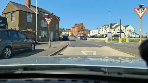
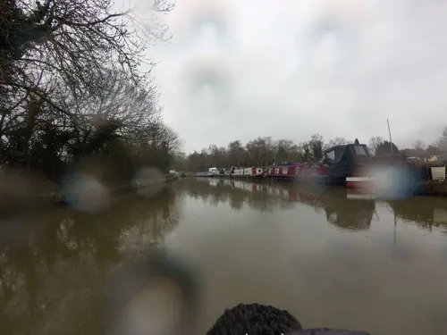
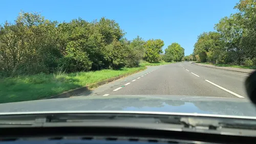

Visitors Centre Weedon Depot
Museum · 1.0 mi
Weedon Bec Royal Ordnance Depot, Weedon

Parks, trails and playgrounds8

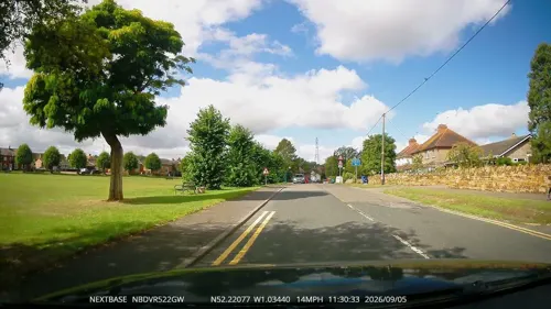
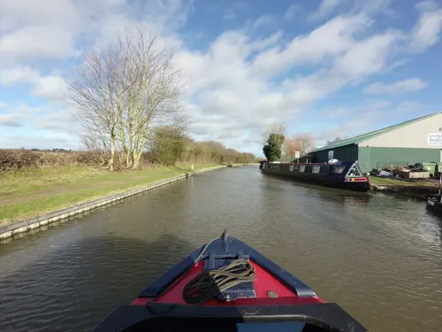
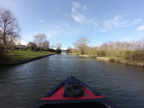

Ramsden Corner Plantation
Park · 2.7 mi
Nature reserve in the United Kingdom

Restaurants and cafes17
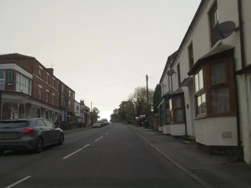
Brinjol Indian Cuisine
Restaurant · Indian, Western · 0.9 mi
24-27 High Street, Northampton
Mo-Su 17:00-23:00
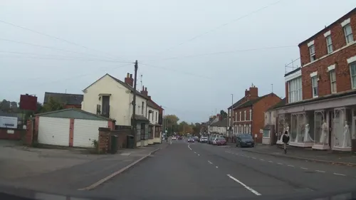
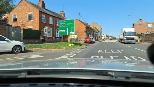
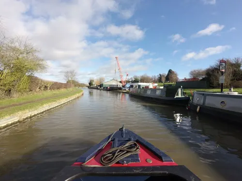
The Narrow Boat
Bar and pub · 0.9 mi
Watling Street, Northampton
Mo-Sa 08:00-10:00; Su 10:00-20:00
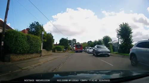
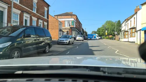


Plume of Feathers
Bar and pub · 1.1 mi
West Street, Northampton
Mo-Sa 12:00-23:00; Su 12:00-22:30

5 more on the map.
Notable people from Flore
- Sydney Ewart HollingworthBritish geologist (1899–1966)
Born in Flore, according to Wikidata (CC0). Each name links to its Wikipedia article.
Where to stay4
Churches and places of worship9
Dodford Church: St Mary The Virgin
Church · Anglican · 2.0 mi
Church Lane, Northampton
St Michael's,Stowe Nine Churches
Church · Anglican · 1.6 mi
Main Street, Northampton
United Reformed Church
Church · United Reformed · 1.1 mi
Church Street, Northampton
Shopping1
Gas and EV charging2
Schools, colleges and libraries3
Healthcare1
Knights Pharmacy Weedon
Clinic and pharmacy · 1.0 mi
1 Bridge Street, Northampton
Map of Flore
60 places. The map loads OpenStreetMap tiles when you open it.
Getting there and nearby towns
Sywell Aerodrome (ORM) is the nearest airport with scheduled flights listed in OpenStreetMap, 12 miles away.
- Harpole 3 mi east, about 5 min by car
- Kislingbury 3 mi east, about 5 min by car
- Daventry 5 mi west, about 7 min by car
- Northampton 7 mi east, about 12 min by car
- West Haddon 7 mi north, about 12 min by car
- Spratton 7 mi northeast, about 12 min by car
- Kilsby 8 mi northwest, about 13 min by car
- Hackleton 10 mi east, about 17 min by car
- Hartwell 11 mi southeast, about 17 min by car
- Rugby 13 mi northwest, about 21 min by car
Drive times are estimates from straight-line distance, not routes.
Towns near Flore


Keep exploring
Local news
Headlines from INDB.
Reviews, tips and questions
Loading what members have shared...
Sources and licences
- GeoNames (CC BY 4.0): population, coordinates, regions and time zone
- Mapillary (see each image): photos
- OpenStreetMap contributors (ODbL 1.0): places, airports, map data
- Wikidata (CC0 1.0): elevation, founding date, time zone, website, landmarks and historic places
- Wikimedia Commons (see each image): photos
- Wikipedia (CC BY-SA 4.0): overview and history text
Photo credits
- Althorp House, Andrew Walker ( walker44 ), CC BY-SA 3.0
- Bannaventa site, Stavros1 at English Wikipedia, Public domain
- Borough Hill roman villa, The original uploader was Stavros1 at English Wikipedia ., CC BY-SA 3.0
- Bugbrooke Meadow nature reserve 2, Dudley Miles, CC BY-SA 4.0
- Dodford Church 16th March 2007, Stavros1 at English Wikipedia, Public domain
- Nether-Heyford-church-by-Ian-Rob, Ian Rob, CC BY-SA 2.0
- Crossroads public house and hotel, Weedon, Northamptonshire, Ian Rob, CC BY-SA 2.0
- Street-level photo, southglos, CC BY-SA 4.0
- Street-level photo, tallguy, CC BY-SA 4.0
- Street-level photo, alexanderar, CC BY-SA 4.0
- Street-level photo, alexanderar, CC BY-SA 4.0
- Street-level photo, southglos, CC BY-SA 4.0
- Street-level photo, alexanderar, CC BY-SA 4.0
- Street-level photo, tallguy, CC BY-SA 4.0
- Street-level photo, tallguy, CC BY-SA 4.0
- Street-level photo, southglos, CC BY-SA 4.0
- Street-level photo, southglos, CC BY-SA 4.0
- Street-level photo, southglos, CC BY-SA 4.0
- Street-level photo, alexanderar, CC BY-SA 4.0
- Street-level photo, alexanderar, CC BY-SA 4.0
- Street-level photo, southglos, CC BY-SA 4.0
- Street-level photo, OpenFaceMapper, CC BY-SA 4.0
- Street-level photo, OpenFaceMapper, CC BY-SA 4.0
- Street-level photo, alexanderar, CC BY-SA 4.0
- Street-level photo, tallguy, CC BY-SA 4.0
- Street-level photo, tallguy, CC BY-SA 4.0
- Street-level photo, alexanderar, CC BY-SA 4.0
- Street-level photo, tallguy, CC BY-SA 4.0
Page built November 10, 2026. Spotted a mistake? Tell us or suggest a place.