


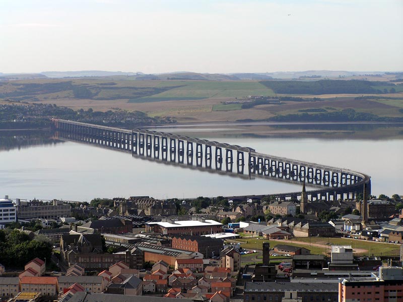


Newport-on-Tay, United Kingdom
Newport-on-Tay is a town of 4,203 people in Scotland, United Kingdom.
Why visit Newport-on-Tay
Townapedia lists 20 museums and landmarks, 9 parks and trails, 11 places to eat, 1 place to stay and 10 attractions in and around town.
Highlights include Dundee Repertory Theatre, Tay Rail Bridge, Broughty Castle and Discovery Point.
Weather in Newport-on-Tay
Forecast from MET Norway (CC BY 4.0). Full forecast
About Newport-on-Tay
Newport-on-Tay is a town in the north-east of Fife in Scotland. It is approximately 23 miles (55 km) north-northeast of Edinburgh, 67 miles (108 km) northeast of Glasgow, and 3 miles (4.8 km) south-southeast of Dundee. It had a population of 4,118 in 2022.
From the Wikipedia article Newport-on-Tay (this version), under CC BY-SA 4.0.
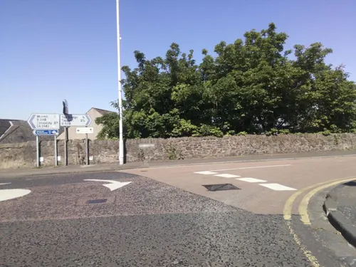
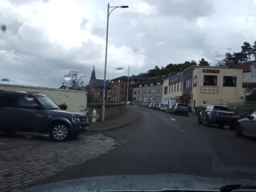
Photos of Newport-on-Tay

Things to do10

Dundee Repertory Theatre
Cinema and theater · 2.0 mi
Theatre in Dundee, Scotland

Tay Rail Bridge
Bridge · 2.0 mi
Railway bridge across the River Tay, Scotland

Tay Road Bridge
Bridge · 1.0 mi
Bridge between Dundee and Fife, Scotland, UK, carries the A92 road across the Firth of Tay

Museums and landmarks20

Broughty Castle
Museum · 3.0 mi
Castle and museum in Dundee City, Scotland, United Kingdom

Discovery Point
Museum · 1.7 mi
Museum in Dundee, Scotland, United Kingdom
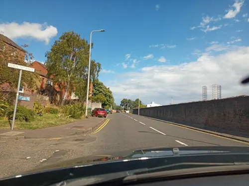
Dundee Museum of Transport
Museum · 2.0 mi
Transport museum in Dundee, Scotland, United Kingdom

McManus Gallery
Museum · 2.1 mi
Historic building and museum in Dundee, Scotland

Mills Observatory
Museum · 3.4 mi
Observatory and museum in Dundee, Scotland, United Kingdom
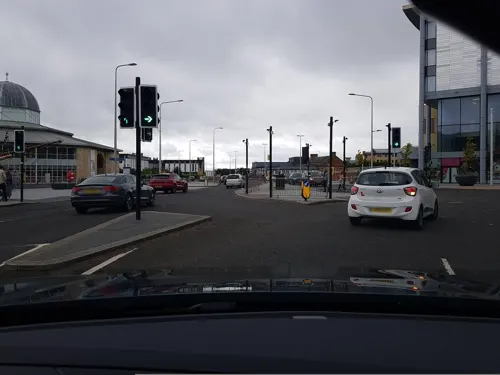
V&A Dundee
Museum · 1.7 mi
Museum of design in Dundee, Scotland, a branch of the Victoria and Albert Museum of London

Verdant Works Museum
Museum · 2.3 mi
Museum in Dundee, Scotland, United Kingdom

D'Arcy Thompson Zoology Museum
Museum · 2.1 mi
University museum, zoology collection in Dundee , Scotland

Dundee International Submarine Memorial
Monument and historic site · 1.7 mi
Memorial in Dundee, Scotland, UK
Blyth Hall
Monument and historic site
Mo,Fr 10:00-17:00; Tu 10:00-14:00; Fr 10:00-17:00; Sa 10:00-13:00
Causewayhead Cottages
Monument and historic site · 0.8 mi
Squated by homeless families at end of WWII
8 more on the map.
Parks, trails and playgrounds9




Restaurants and cafes11
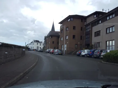
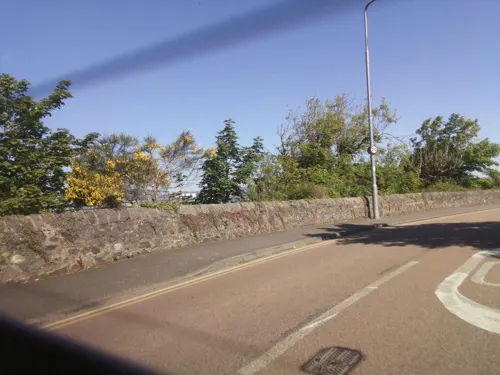
Manna Coffee
Cafe · Coffee Shop
11-13 Cupar Road, Newport-on-Tay
Tu-Sa 10:00-16:30
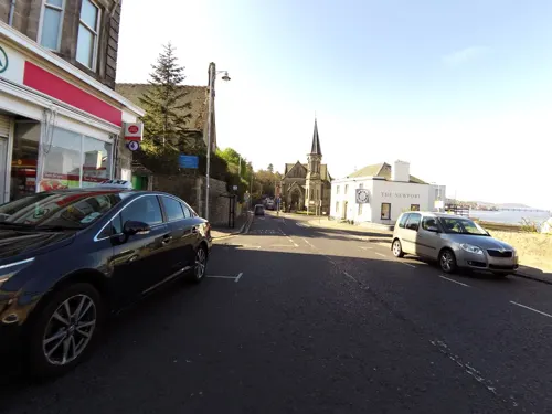
Fig & Fromage
Cafe
18 High Street, Newport-on-Tay
Mo-Th,Sa-Su 09:00-17:00; Fr 09:00-19:00


History
The town was established near the endpoint of one part of a ferry route that itself was started in the 12th century.
In 1715 a new pier and inn were built, the work being funded by the Guilds of Dundee which resulted in the settlement being called "New Dundee". Thomas Telford built a new harbour in the 1820s, and the town expanded and grew into a commuter suburb of Dundee as the prosperous jute manufacturers, industrialists and the middle and upper working class of Dundee established fashionable residences in Newport.
The local war memorial dates from 1920 and was designed by Sir Robert Lorimer.
Newport-on-Tay formerly had two railway stations – the East and West stations on what was the Newport Railway. Both stations (and the Tayport-Dundee branch line) closed in 1969, having lost much of their business following the opening of the Tay Road Bridge in 1966. In fact, trains had ceased to run beyond Newport-on-Tay East station to Tayport on 22 May 1966 so that the railway line could be breached to build the bridge's southern approach road. The Dundee – Newport ferry also closed promptly later in 1966 on the opening of the Tay Road Bridge. However, the ferry terminal buildings and slipways still survive at the foot of Boat Hill as a boat repair yard.
From the History section of Newport-on-Tay on Wikipedia, under CC BY-SA 4.0.
Notable people from Newport-on-Tay
 Horse McDonaldScottish female singer-songwriterPhoto: Raimond Spekking, CC BY-SA 4.0
- Philip FlemingBritish merchant banker and rower (1889-1971)
- Valentine FlemingBritish politician
- Richard WawroBritish painter (1952-2006)
- Dave DuncanScottish Canadian fantasy writer (1933-2018)
- Frederick Claud SturrockScottish-born South African politician and engineer (1882–1926)
- Billy HendryScottish footballer (1869-1901)
- John SturrockBritish politician (1878-1943)
- George PhilipScottish footballer who played mainly as a centre forward between 1910 and 1921
Born in Newport-on-Tay, according to Wikidata (CC0). Each name links to its Wikipedia article.
Where to stay1
Churches and places of worship12
Our Lady of Victories Rc Church, St Mary, 34-36 Forebank Road, Dundee
Church · 2.3 mi
Shopping2
Gas and EV charging1
Schools, colleges and libraries6
Centre for Energy, Petroleum and Mineral Law and Policy
School · 2.0 mi
Healthcare1
Map of Newport-on-Tay
73 places. The map loads OpenStreetMap tiles when you open it.
Getting there and nearby towns
Dundee Airport (DND) is the nearest airport with scheduled flights listed in OpenStreetMap, 4 miles away.
- Tayport 2 mi east, about 4 min by car
- Dundee 3 mi northwest, about 4 min by car
- Invergowrie 5 mi west, about 8 min by car
- Saint Andrews 9 mi southeast, about 14 min by car
- Carnoustie 10 mi northeast, about 16 min by car
- Ladybank 13 mi southwest, about 22 min by car
- Forfar 14 mi north, about 23 min by car
- Arbroath 16 mi northeast, about 25 min by car
- Perth 19 mi west, about 31 min by car
- Glenrothes 19 mi southwest, about 31 min by car
Drive times are estimates from straight-line distance, not routes.
Towns near Newport-on-Tay


Keep exploring
Local news
Headlines from INDB.
Reviews, tips and questions
Loading what members have shared...
Sources and licences
- GeoNames (CC BY 4.0): population, coordinates, regions and time zone
- Mapillary (see each image): photos
- OpenStreetMap contributors (ODbL 1.0): places, airports, map data
- Wikidata (CC0 1.0): elevation, founding date, time zone, website, landmarks and historic places
- Wikimedia Commons (see each image): photos
- Wikipedia (CC BY-SA 4.0): overview and history text
Photo credits
- NewportfromBridge, http://en.wikipedia.org/wiki/User_talk:Benson85, CC BY-SA 3.0
- St Fillan's Church, Newport-on-Tay (46), Stanley Howe, CC BY-SA 2.0
- Dundee Rep, Ydam, CC BY-SA 3.0
- Taybridge from law 02SEP05, TheCreator, Public domain
- Tay Road Bridge April 2026, Lucas Kendall, CC BY-SA 4.0
- Broughty Castle (2), TimVickers, Public domain
- Discovery Point, Drkirstyross, CC BY-SA 3.0
- McManus Galleries Dundee 2017, Laerol, CC BY-SA 4.0
- Millsobservtwo, Cyrillic at English Wikipedia, CC BY-SA 3.0
- Verdant, David Hawgood, CC BY-SA 2.0
- Dundee Parish Church, Tunegravity, CC BY-SA 4.0
- St Salvador's Scottish Episcopal Church, Dundee 08, Auldcathy, CC BY-SA 4.0
- Dundee University Scrymgeour, Ydam, CC BY-SA 3.0
- Newport on Tay Church of Scotland, Russ Hamer, CC BY-SA 3.0
- Baxter Park Pavillon, Dundee, Liam Low, CC BY-SA 4.0
- Street-level photo, hobgoblin, CC BY-SA 4.0
- Street-level photo, southglos, CC BY-SA 4.0
- Street-level photo, southglos, CC BY-SA 4.0
- Street-level photo, southglos, CC BY-SA 4.0
- Street-level photo, xdTAGCLAN, CC BY-SA 4.0
- Street-level photo, toho, CC BY-SA 4.0
- Street-level photo, southglos, CC BY-SA 4.0
- Street-level photo, southglos, CC BY-SA 4.0
- Street-level photo, smsm1, CC BY-SA 4.0
- Street-level photo, southglos, CC BY-SA 4.0
- Street-level photo, smsm1, CC BY-SA 4.0
- Street-level photo, hobgoblin, CC BY-SA 4.0
- Street-level photo, hobgoblin, CC BY-SA 4.0
- Street-level photo, hobgoblin, CC BY-SA 4.0
- Street-level photo, smsm1, CC BY-SA 4.0
- Street-level photo, rudolfmayer, CC BY-SA 4.0
- Street-level photo, southglos, CC BY-SA 4.0
- Street-level photo, southglos, CC BY-SA 4.0
- Street-level photo, hobgoblin, CC BY-SA 4.0


Page built November 10, 2026. Spotted a mistake? Tell us or suggest a place.