


Newry, United Kingdom
Newry is a town of 27,757 people in Northern Ireland, United Kingdom.
Why visit Newry
Townapedia lists 17 museums and landmarks, 30 parks and trails, 98 places to eat, 3 places to stay and 2 attractions in and around town.
Highlights include MacNeill's Egyptian Arch, Newry Omniplex, Newry and Mourne Museum and Bagenal's Castle.
Weather in Newry
Forecast from MET Norway (CC BY 4.0). Full forecast
About Newry
Newry (; from Irish Iúr Cinn Trá) is a cathedral city in Northern Ireland, standing on the Clanrye River in counties Armagh and Down. It is near the border with the Republic of Ireland, on the main routes between Belfast (34 miles/55 km away) and Dublin (67 miles/108 km away). The population was 27,913 in 2021.
From the Wikipedia article Newry (this version), under CC BY-SA 4.0.
Travel tips from other travellers: Newry on Wikivoyage (CC BY-SA 4.0).
Things to do2

MacNeill's Egyptian Arch
Bridge · 1.1 mi
Bridge in Bessbrook, County Armagh, Northern Ireland
Museums and landmarks17

5 more on the map.
Parks, trails and playgrounds30

Páirc Esler (Down GAA & Newry Shamrocks GAC)
Sports field and stadium · 1.1 mi

Carlingford Park Play Park / Skate Park
Playground · 1.4 mi
Play park for children.
Carlingford Park
24/7

18 more on the map.
Restaurants and cafes98
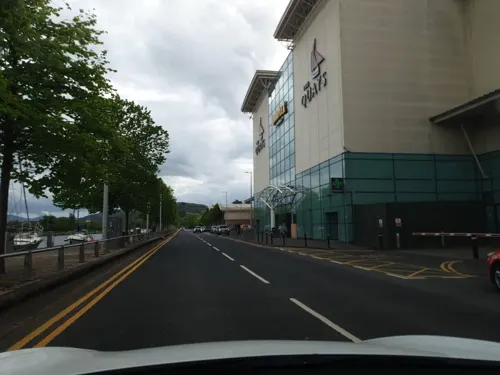
Caffè Nero
Cafe · Coffee Shop · 0.7 mi
Albert Basin, Newry
Mo-Tu 08:00-18:30; We-Fr 08:00-21:00; Sa 08:00-18:30; Su 11:00-18:30
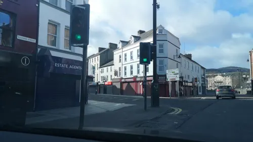
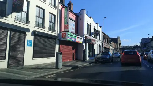
Shapla
Restaurant · Indian
11D Monaghan Street, Newry
Mo-Su 16:30-23:00
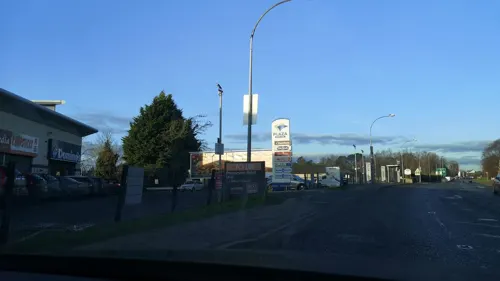
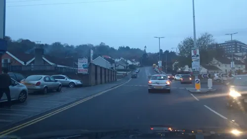
Ka's
Restaurant · Chinese · 0.4 mi
50 Monaghan Street
Su-Th 16:00-23:30; Fr,Sa 16:00-24:00
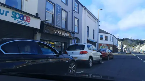
McCooey's Cafe
Cafe · Traditional, Cafeteria
22 Monaghan Street, Newry
"When she wants to open!"
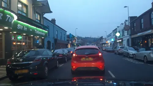
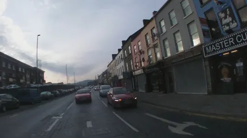
Chef Wok
Restaurant · Chinese · 1.1 mi
Unit 2, 50 Belfast Road, Newry

Measured Coffee
Cafe · Coffee Shop · 0.4 mi
4 John Mitchel Place, Newry
Mo-Fr 08:00-16:00; Sa-Su 09:00-16:00
Maggie's Coffee Shop
Cafe · Regional, Coffee Shop
6A Margaret Street
Mo-Sa 08:00-17:00; Su 10:00-16:00

86 more on the map.
History
There is evidence of continual human habitation in the area from early times. During the Bronze Age, the Newry area had a community that made very detailed jewellery for garments in abundance. Three of these Newry Clasps can be found in the Ulster Museum, and a massive arm clasp from the same period was also found in Newry. Three miles south of Newry is Clontygorra Court Cairn which has large portal stones at its entrance. Excavations revealed pot sherds, hollow scrapers, a polished axe and the cremated remains of one person. Nearby is another, smaller court cairn.
In AD 820, Vikings landed in the Newry area, "from whence they proceeded to Armagh, taking it by storm, and plundering and desolating the country around".
Read more of the history
A Cistercian abbey was founded at Newry in 1144; in 1157 it was granted a charter by Muirchertach Mac Lochlainn, king of Tír Eoghain and High King of Ireland. It might have been a Benedictine monastery before this. Newry Abbey (now the area around Newry Museum) would have been a sprawling complex of buildings and the heart of a monastic settlement. It existed for four centuries. The abbey was dissolved by the English in 1548, when it was recorded to consist of a church, steeple, college, chapter house, dormitory, a hall, a graveyard, two orchards, and one garden. Modern archaeologists unearthed thirty-three burials from part of the former graveyard, and further bones were found in charnel pits. They included remains of men, women, and several youths, and some of the individuals suffered violent deaths. It is believed this was a graveyard for the lay community from when the abbey was still in existence.
In April 1552, Nicholas Bagenal, Marshal of the English army in Ireland, was granted ownership of the former abbey lands. He built a fortified house known as Bagenal's Castle on the site of the abbey and its graveyard, re-using some of the abbey buildings. Bagenal also had an earthen rampart built around his Castle and the small town of Newry.
During the Irish Rebellion of 1641, Newry was captured by Irish Catholic rebels led by the Magennises and McCartans. In May 1642, a Scottish Covenanter army landed in Ulster and seized Newry from the rebels. James Turner, one of the Scottish officers, recounted that Catholic rebels and civilians were taken to the bridge over the Newry River and "butchered to death ... some by shooting, some by hanging ... without any legal process". The Scottish general, Robert Monro, said that sixty townsmen and two priests were summarily executed. Turner also said that Scottish soldiers drowned and shot about a dozen Irishwomen before he stopped them from killing more.
During the 1689 Raid on Newry, Williamite forces under Toby Purcell repulsed an attack by the Jacobites under the Marquis de Boisseleau. During the period of the Battle of the Boyne, the Duke of Berwick set fire to the parts of the town which he had restructured to defend it.
Newry suffered hunger, poverty and mass emigration during the Great Famine (An Gorta Mór) in the 1840s. The population of the workhouse increased to over a thousand, while ships sailed from nearby Warrenpoint to New York, carrying over 5000 people during the Famine.
The 1841 census gives the combined population of the two halves of the city as 11,972 inhabitants. By 1881 the population of Newry had reached 15,590.
During the Irish War of Independence there were several assassinations and ambushes in Newry. On 12 December 1920, British reinforcements travelling from Newry to Camlough were ambushed by the Irish Republican Army (IRA), who opened fire and threw grenades from MacNeill's Egyptian Arch. Three IRA members were fatally wounded in the exchange of fire.
When Ireland was partitioned in 1921, Newry became part of Northern Ireland. From the 1920s to the 1960s, Newry Urban District Council was one of the few councils in Northern Ireland which had a majority of councillors from the Catholic/Irish nationalist community. The reason, according to Michael Farrell, was that this community formed such a large majority in the town, around 80% of the population, making it impossible to gerrymander. Also, an oddity was that for a time it was controlled by the Irish Labour Party, after the left wing of the Northern Ireland Labour Party defected to them in the 1940s.
Newry saw several violent incidents during the conflict known as the Troubles, including a triple killing in 1971, a bombing in 1972, and a mortar attack in 1985. These continued into the late 1990s and even in 2010 – such as bomb scares and car bombs.
See also: The Troubles in Killeen, for information on incidents at the border and customs post at Newry on the border with the Republic of Ireland and close to Newry. In 2003, the British Army's hilltop watchtowers overlooking Newry were taken down. The British Army withdrew from the area on 25 June 2007 when they closed their final base at Bessbrook.
From the History section of Newry on Wikipedia, under CC BY-SA 4.0.
More about Newry
Geography
Newry lies in the most southeastern part of both Ulster and Northern Ireland. About half of the city (the west) lies in County Armagh and the other half (the east) in County Down. The Clanrye River, which runs through the city, from Carnmeen (north of the Carnbane Industrial Estate) until Middlebank (start of Warrenpoint Road), partly forms the historic border between County Armagh and County Down.
The city sits in a valley, between the Mourne Mountains to the east and the Ring of Gullion to the south-west, both of which are designated Areas of Outstanding Natural Beauty. The Cooley Mountains lie to the southeast. The Clanrye River runs through the centre of town, parallel to the Newry Canal. The city also lies at the northernmost end of Carlingford Lough, where the canal enters the sea at Victoria Locks.
Newry is within the civil parishes of Newry and Middle Killeavy. The parishes have long been divided into townlands, the names of which mainly come from the Irish language. The following is a list of townlands in Newry's urban area, alongside their likely etymologies:
Economy
Newry has traditionally been considered a merchant's town, and has maintained a reputation as one of the best provincial shopping-towns in Northern Ireland, with the Buttercrane Centre and The Quays Newry attracting large numbers of shoppers from as far away as Cork.
In 2006 Newry house prices grew the most across the whole United Kingdom over the previous decade, as prices in the city had increased by 371% since 1996. The city itself has become markedly more prosperous in recent years. Unemployment has reduced from over 26% in 1991 to scarcely 2% in 2008.
Since the 2008 financial crisis, residents of the Republic of Ireland have increasingly been cross-border shopping to Newry to buy cheaper goods due to the difference in currency. The harsh budget in the Republic of Ireland in October 2008, and the growing strength of the euro against the pound sterling and VAT reductions in the United Kingdom, compared with increases in the Republic of Ireland, are among the reasons. This remarkable increase in cross-border trade has become so widespread that it has lent its name to a general phenomenon known as the Newry effect. In December 2008, The New York Times described Newry as "the hottest shopping spot within the European Union's open borders, a place where consumers armed with euros enjoy a currency discount averaging 30 percent or more".
Education
St Clare's Abbey Primary School ( formerly St Clares convent primary school and St. Colman's Abbey Christian Brothers' Primary School)
St. Patrick's Primary School, Newry|St Patrick's Primary School
From the Wikipedia article Newry, under CC BY-SA 4.0.
Notable people from Newry
 Peter McParlandNorthern Irish footballer (born 1934)Photo: Tommy Pinball, CC BY-SA 3.0
 Tomm MooreIrish film directorPhoto: Dylan Vaughan, CC BY-SA 4.0
 Joseph BarcroftPhysiologist, studied the oxygenation of blood (1872–1947)Photo: Unknown author Unknown author, CC BY 4.0
 Valene KaneIrish actressPhoto: Mondaineman, CC0
 Elizabeth Gould BellIrish doctor and feministPhoto: Unknown author Unknown author, Public domain
 Colin TurkingtonBritish racecar driverPhoto: Cs-wolves, CC BY-SA 4.0
 Charles Russell, Baron Russell of KillowenIrish politician (1832-1900)Photo: John Singer Sargent, Public domain
- Pat JenningsNorthern Irish footballer
- Colin ClarkeNorthern Irish footballer and manager
- Ryan McGivernNorthern Irish footballer (born 1990)
- Willie CunninghamNorthern Irish footballer and manager (1930-2007)
- Willie MaleyScottish footballer and manager (1868-1958)
Born in Newry, according to Wikidata (CC0). Each name links to its Wikipedia article.
Where to stay3
Churches and places of worship15
St Mary of the Assumption
Church · Roman Catholic · 0.8 mi
2 Drumalane Road, Newry
Shopping21
Gas and EV charging12
Schools, colleges and libraries20
St Joseph's Boys' High School
School · Roman Catholic · 0.4 mi
20 Armagh Road, Newry
Healthcare12
John Mitchel Place Health Centre
Clinic and pharmacy · 0.4 mi
John Mitchel Place, Newry
Map of Newry
230 places. The map loads OpenStreetMap tiles when you open it.
Getting there and nearby towns
Belfast International Airport (BFS) is the nearest airport with scheduled flights listed in OpenStreetMap, 33 miles away.
- Warrenpoint 6 mi southeast, about 10 min by car
- Rostrevor 8 mi southeast, about 12 min by car
- Rathfriland 8 mi northeast, about 14 min by car
- Newtownhamilton 10 mi west, about 16 min by car
- Banbridge 12 mi north, about 19 min by car
- Portadown 17 mi north, about 28 min by car
- Belfast 33 mi northeast, about 54 min by car
- Newtownabbey 37 mi northeast, about 1 h by car
- Newtownards 39 mi northeast, about 1 h by car
- Omagh 48 mi northwest, about 1 h 15 min by car
Drive times are estimates from straight-line distance, not routes.
Towns near Newry


Keep exploring
Local news
Headlines from INDB.
Reviews, tips and questions
Loading what members have shared...
Sources and licences
- GeoNames (CC BY 4.0): population, coordinates, regions and time zone
- Mapillary (see each image): photos
- OpenStreetMap contributors (ODbL 1.0): places, airports, map data
- Wikidata (CC0 1.0): elevation, founding date, time zone, website, landmarks and historic places
- Wikimedia Commons (see each image): photos
- Wikipedia (CC BY-SA 4.0): overview and history text
Photo credits
- "Railway line and bridge in Sandycove, Co. Dublin" - is actually Newry's Egyptian Arch (27607186286), National Library of Ireland on The Commons, No restrictions
- Newry Cathedral, Man vyi, Public domain
- SaintPatricksNewry 001, Cmcgrath62 ( talk ), Public domain
- Nickey Brennan, Seana Talbot, Public domain
- Street-level photo, yannakis, CC BY-SA 4.0
- Street-level photo, jonnymccullagh, CC BY-SA 4.0
- Street-level photo, jonnymccullagh, CC BY-SA 4.0
- Street-level photo, jonnymccullagh, CC BY-SA 4.0
- Street-level photo, debigc, CC BY-SA 4.0
- Street-level photo, jonnymccullagh, CC BY-SA 4.0
- Street-level photo, debigc, CC BY-SA 4.0
- Street-level photo, debigc, CC BY-SA 4.0
- Street-level photo, jonnymccullagh, CC BY-SA 4.0
- Street-level photo, debigc, CC BY-SA 4.0
- Street-level photo, yannakis, CC BY-SA 4.0
- Street-level photo, yannakis, CC BY-SA 4.0
- Street-level photo, imapthestigmatised, CC BY-SA 4.0
- Street-level photo, jonnymccullagh, CC BY-SA 4.0
- Street-level photo, debigc, CC BY-SA 4.0
- Street-level photo, jonnymccullagh, CC BY-SA 4.0
- Street-level photo, debigc, CC BY-SA 4.0
- Street-level photo, yannakis, CC BY-SA 4.0
- Street-level photo, yannakis, CC BY-SA 4.0
- Street-level photo, imapthestigmatised, CC BY-SA 4.0
- Street-level photo, mackerski, CC BY-SA 4.0
- Street-level photo, debigc, CC BY-SA 4.0
- Street-level photo, jonnymccullagh, CC BY-SA 4.0
Page built November 10, 2026. Spotted a mistake? Tell us or suggest a place.