


Bedlington, United Kingdom
Bedlington is a town of 18,470 people in England, United Kingdom.
Why visit Bedlington
Townapedia lists 6 museums and landmarks, 6 parks and trails, 54 places to eat and 1 attraction in and around town.
Highlights include Bedlington War Memorial, Castle Island and Plessey Woods Country Park.
Weather in Bedlington
Forecast from MET Norway (CC BY 4.0). Full forecast
About Bedlington
Bedlington is a town in the civil parish of West Bedlington, in Northumberland, England, with a population of 18,470 measured at the 2011 Census.
From the Wikipedia article Bedlington (this version), under CC BY-SA 4.0.
Things to do1

Museums and landmarks6

Parks, trails and playgrounds6

Castle Island
Park · 2.6 mi
Island in the River Wansbeck in Ashington, Northumberland, England
Plessey Woods Country Park
Park · 1.7 mi
Park in Northumberland, United Kingdom

Restaurants and cafes54
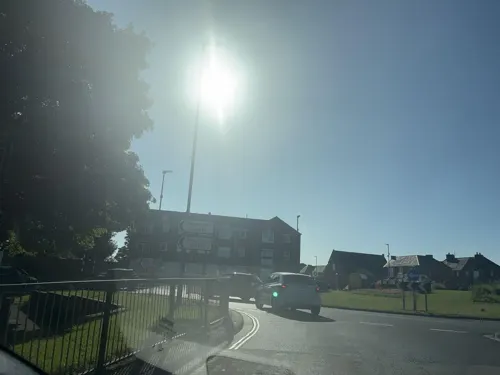
Wharton Arms
Bar and pub
Burdon Terrace, Bedlington
Su-Th 11:00-23:00, Fr,Sa 11:00-01:30
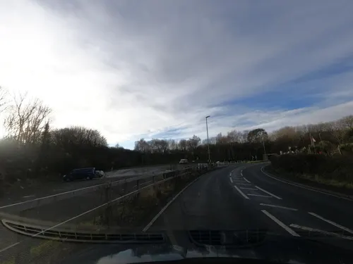
Apothecafé
Cafe · Coffee Shop · 0.5 mi
Bedlington Bank, Bedlington
Tu-Sa 08:00-14:00
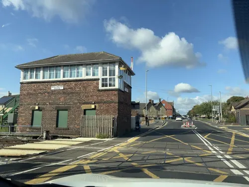
Ristorante Verde
Restaurant · Italian
3 Vulcan Place, Bedlington
Rossini
Restaurant · Italian · 1.1 mi
Station Road, Bedlington


42 more on the map.
History
The place-name "Bedlington" is first attested circa 1050 in a biography of Saint Cuthbert, where it appears as "Bedlingtun". The name means "the town of Bedla's people".
Bedlington and the hamlets belonging to it were bought by Cutheard, Bishop of Durham, between 900 and 915, and although locally in the county of Northumberland, it became part of the county palatine (from Lat. palatium, a palace) of Durham, over which Bishop Walcher was granted royal rights by William the Conqueror.
When these rights were taken from Cuthbert Tunstall, Bishop of Durham, in 1536, Bedlington among his other properties, lost its special privileges, but was confirmed to him in 1541 with the other property of his predecessors. Together with the other lands of the see of Durham, Bedlington was made over to the ecclesiastical commissioners in 1866. Bedlingtonshire was made part of Northumberland for civil purposes by acts of parliament in 1832 and 1844.
Read more of the history
Bedlington became an industrial town with an iron works and several coal mines, however subsequent closure of these industries in the latter half of the 20th century caused the town to undergo many changes, becoming more of a dormitory town for those working in the surrounding areas. The last of the residential housing estates, formerly built for the mining families of the town, were taken over and razed by the council with residents evicted from the 'Pit Rows' estate in the early to mid 1970s, as was part and parcel of the government's national policy of this time.
The most important historic building in Bedlington was Bedlington Old Hall, which consisted of a 15th-century pele tower with a long early 18th-century stone block adjoining, occupying a prime location on the high street. It was controversially demolished in 1959 and replaced with council offices, which are now themselves empty and for sale.
Another historic building is Hartford Hall which was owned by the Burdon family.
The parish was abolished on 1 April 1974 and became an unparished area in Wansbeck district.
From the History section of Bedlington on Wikipedia, under CC BY-SA 4.0.
More about Bedlington
Education
Bedlington is served by two secondary schools: Bedlington Academy (previously Bedlingtonshire Community High School) and St Benet Biscop Catholic Academy. They are both in Bedlington, but they do take in children from Stakeford, Guide Post, Choppington, Stannington and even areas of Morpeth. Bedlington is also served by three primary schools: Bedlington Station Primary School, Stead Lane Primary School and St Bede's Primary School. One of the few middle schools left in England is Meadowdale Academy. This is soon to change however as Meadowdale is to change to a primary school. The town of Bedlington also has two first schools: Whitley Memorial C of E School and Bedlington West End County First School. Whitley Memorial C of E School became a primary school at the start of the summer 2021 term. Pupils may also commute around 13 miles (21 km) south to Newcastle upon Tyne if they choose to attend an independent school.
From the Wikipedia article Bedlington, under CC BY-SA 4.0.
Notable people from Bedlington
 Daniel GoochBritish railway engineer (1816-1889)Photo: Thomas Dewell Scott, Public domain
 Chris DobeyEnglish darts playerPhoto: Sandro Halank, Wikimedia Commons, CC BY-SA 4.0
 Billy HardyEnglish footballer and manager (1891-1981)Photo: Unknown author Unknown author, Public domain
- Dickie StobbartCanadian soccer player (1891-1952)
- Eric BellBritish association football player (1922-2004)
- John Birkinshaw19th-century British civil engineer
- Bill DoddBritish association football player (1936-2015)
- George HendersonAustralian politician, born 1857
- Tommy RiggEnglish footballer (1920-1995)
- John Viret GoochBritish locomotive engineer
- Jayne MiddlemissEnglish TV presenter and former model
- Jim RutherfordEnglish association football player (1894-1924)
Born in Bedlington, according to Wikidata (CC0). Each name links to its Wikipedia article.
Churches and places of worship9
Kingdom Hall of Jehovah's Witnesses
Place of worship · Jehovahs Witness · 0.5 mi
Stead Lane, Bedlington
Shopping7
Gas and EV charging4
Schools, colleges and libraries11
Bedlington Whitley Memorial Church of England Primary School
School · Anglican
Gordon Terrace, Bedlington
Healthcare5
Lynne & Anthony Metcalff - Chiropodist
Clinic and pharmacy
Front Street East, Bedlington
Map of Bedlington
103 places. The map loads OpenStreetMap tiles when you open it.
Getting there and nearby towns
Newcastle International Airport (NCL) is the nearest airport with scheduled flights listed in OpenStreetMap, 7 miles away.
- Morpeth 5 mi northwest, about 7 min by car
- Ponteland 8 mi southwest, about 13 min by car
- Gosforth 9 mi south, about 15 min by car
- Newcastle upon Tyne 11 mi south, about 18 min by car
- Jarrow 11 mi southeast, about 18 min by car
- Hebburn 11 mi south, about 18 min by car
- Blaydon-on-Tyne 12 mi southwest, about 20 min by car
- Whickham 13 mi south, about 21 min by car
- The Boldons 14 mi southeast, about 23 min by car
- Sunderland 18 mi southeast, about 28 min by car
Drive times are estimates from straight-line distance, not routes.
Towns near Bedlington


Keep exploring
Local news
Headlines from INDB.
Reviews, tips and questions
Loading what members have shared...
Sources and licences
- GeoNames (CC BY 4.0): population, coordinates, regions and time zone
- Mapillary (see each image): photos
- OpenStreetMap contributors (ODbL 1.0): places, airports, map data
- Wikidata (CC0 1.0): elevation, founding date, time zone, website, landmarks and historic places
- Wikimedia Commons (see each image): photos
- Wikipedia (CC BY-SA 4.0): overview and history text
Photo credits
- St Cuthbert's Church, Bedlington, John Lord, CC BY-SA 2.0
- Bedlingtonshire Community High School Badge, ShaunJonesBCHS, CC BY-SA 4.0
- Street-level photo, floatingboater, CC BY-SA 4.0
- Street-level photo, NinjaBill, CC BY-SA 4.0
- Street-level photo, floatingboater, CC BY-SA 4.0
- Street-level photo, NinjaBill, CC BY-SA 4.0
- Street-level photo, floatingboater, CC BY-SA 4.0
- Street-level photo, floatingboater, CC BY-SA 4.0
- Street-level photo, floatingboater, CC BY-SA 4.0
- Street-level photo, NinjaBill, CC BY-SA 4.0
- Street-level photo, NinjaBill, CC BY-SA 4.0
- Street-level photo, floatingboater, CC BY-SA 4.0
- Street-level photo, floatingboater, CC BY-SA 4.0
- Street-level photo, floatingboater, CC BY-SA 4.0
- Street-level photo, floatingboater, CC BY-SA 4.0
- Street-level photo, NinjaBill, CC BY-SA 4.0
- Street-level photo, floatingboater, CC BY-SA 4.0
- Street-level photo, floatingboater, CC BY-SA 4.0
- Street-level photo, NinjaBill, CC BY-SA 4.0
- Street-level photo, floatingboater, CC BY-SA 4.0
- Street-level photo, floatingboater, CC BY-SA 4.0
- Street-level photo, floatingboater, CC BY-SA 4.0
- Street-level photo, NinjaBill, CC BY-SA 4.0
- Street-level photo, NinjaBill, CC BY-SA 4.0
- Street-level photo, floatingboater, CC BY-SA 4.0
- Street-level photo, NinjaBill, CC BY-SA 4.0
- Street-level photo, floatingboater, CC BY-SA 4.0
- Street-level photo, floatingboater, CC BY-SA 4.0
- Street-level photo, floatingboater, CC BY-SA 4.0
- Street-level photo, floatingboater, CC BY-SA 4.0
Page built November 10, 2026. Spotted a mistake? Tell us or suggest a place.