


Blyth, United Kingdom
Blyth is a town of 37,339 people in England, United Kingdom, founded in 1788.
Why visit Blyth
Townapedia lists 8 museums and landmarks, 24 parks and trails, 99 places to eat, 2 places to stay and 6 attractions in and around town.
Highlights include Blyth High Light, The Phoenix Theatre, HMS H41 and Fort on Blyth Links.
Weather in Blyth
Forecast from MET Norway (CC BY 4.0). Full forecast
About Blyth
Blyth is an industrial port town as well as a civil parish in southeast Northumberland, England. It lies on the coast, to the south of the River Blyth. It has a population of 39,731 as of the 2021 census, up 6% from the 2011 census and population of 37,347.
From the Wikipedia article Blyth, Northumberland (this version), under CC BY-SA 4.0.
Travel tips from other travellers: Blyth on Wikivoyage (CC BY-SA 4.0).
Things to do6

Blyth High Light
Lighthouse · 0.4 mi
Lighthouse in Blyth, Northumberland, England, UK


Museums and landmarks8



Parks, trails and playgrounds24

Royal Northumberland Yacht Club
Marina and boat launch · 0.7 mi


Castle Island
Park · 3.2 mi
Island in the River Wansbeck in Ashington, Northumberland, England


12 more on the map.
Restaurants and cafes99
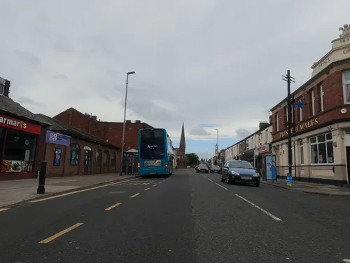
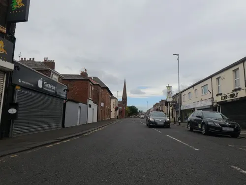
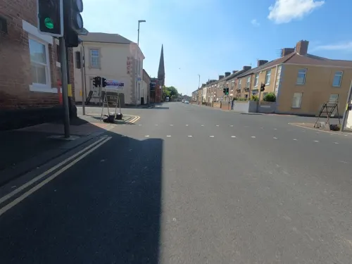
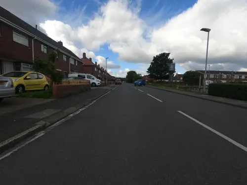

The Tavern
Bar and pub
55 Beaconsfield Street, Blyth
Mo-Fr 16:00-00:30; Sa-Su 12:00-00:30

87 more on the map.
History
The place-name Blyth is first attested in 1130 as Blida, and takes its name from the river Blyth. The river's name comes from the Old English adjective blīðe meaning 'gentle' or 'merry'. The town of Blyth is referred to as Blithmuth in 1236 and Blithemuth in 1250. Had this name persisted, the town would today be referred to as "Blythmouth", on the analogy of Tynemouth to the south.
Little is known of the early development of the Blyth area. The oldest archaeological find is an antler hammer dating from the late Neolithic or early Bronze Age period, which was found at Newsham in 1979.
Read more of the history
Human skulls, a spearhead and a sword dating from the Bronze Age were found in the river in 1890, as well as a bronze axe which was found at South Beach in 1993, and a dagger found at Newsham. Although there is no conclusive evidence of a Roman presence in the area, an earthwork shown on early mapping of the area, at the location of present-day Freehold Street, is said to have been a Roman camp, but it has also been argued that it may be of Norsemen origin or date from the Civil War. Debate also surrounds a mosaic which was found near Bath Terrace. The strongest evidence so far has been a single coin, dating from the reign of the Emperor Constans (AD337–350), which was found during excavations for a dry dock. Also four Roman coins were found when digging an air raid shelter in a back garden on Chestnut Avenue.
Between the 12th and 18th centuries, there were several small settlements and some industrial activity in the area. The principal industries during this period were coal mining, fishing and the salt trade. Shipbuilding in the area dates from 1748.
The area now known as Blyth was first recorded in 1208 as 'Snoc de Blimue' ('snook at the mouth of the River Blyth') in the settlement of a lawsuit. At this point, the areas now distinguished as Blyth and Cowpen were separated by a tidal inlet parallel to the River Blyth, which covered Cowpen Quay, Post Office Square, Beaconsfield Street, running beyond the site of Crofton Mill Pit. The 'town' consisted of an island-like, narrow strip of land consisting of salt pans and a few cottages. Blyth was part of the Manor of Newsham, property of Gilbert De la Val (one of the Barons who forced King John to sign the Magna Carta in 1215.
Until around the 17th century, Blyth-Nook remained mostly neglected while settlements such as Bedlington, Horton, Newsham and Cowpen grew rich from Saxon agriculture despite raids from the Danes.
In 1386, Blyth-Nook was described as, "a place in which fishermen used to dwell, now wasted and unoccupied because of raids."
By 1552, Newsham was primarily a rich farming area, whilst Blyth was a small fishing station with little by way of housing. Little expansion occurred for 300 years, but the importance of the River Blyth has grown significantly. Until the late 18th century, Blyth-Nook remained mostly uninhabited as a smaller hamlet than Newbiggin and Seaton Sluice.
Throughout the 17th century, growth of Blyth's coal industry was seen, due to inward investment into collieries by both local men and investors from the South of England. In 1610, Huntingdon Beaumont of Nottinghamshire introduced wooden Wagonways as a form of coal transport, which was one of the first of that transportation methods to be recorded (Huntingdon had pioneered wooden waggonways for transporting coal in c.1603 in Wollaton, Nottingham). Waggons with one horse were used to carry coals from the pits to the river. From 1692 to 1709, the Plessey Waggonway was constructed from Plessey to Blyth-Nook. Part of the waggonway now forms the route of Plessey Road, where it derives its name. It was constructed of a double-line of beech rails laid on oak sleepers. The waggons had wooden wheels with nails driven into them to reduce wear and tear. Until the first staithes in 1716, the coal was offloaded onto ships by barrow.
The modern town of Blyth began to develop in the first quarter of the 18th century.
Up until 1716, the land around the Blyth area—the Newsham Estate—was owned by the Earls of Derwentwater, but when James Radclyffe, 3rd Earl of Derwentwater, was executed for his part in the Jacobite rising of 1715, the land was forfeited to the Crown.
On 11 July 1723, the Lordship of Newsham was put up for sale by the Commissioners of Forfeited Estates at their office in the Inner Temple, London. The land was bought by Matthew White of Newcastle and Richard Ridley of Blagdon. From the 12th century, most port activities were on the north side of the river, but under White and Ridley the first new quays and houses were built on the south side, and from here the port began to prosper. However, by this point, Blyth still only consisted of a few farms and labourers' cottages.
At this time, the success of the Plessey Waggonway was seen with 58,000 tons of coal being transported that year (1723), rising to 67,000 tons by 1734.
By 1730, a coaling quay, a ballast quay, a pilots' watch house and a lighthouse had all been built at Blyth harbour.
In 1765 the first breakwater was constructed, and in 1788 the first staith with an elevated loading point was erected.
Deep mines were sunk at Cowpen Colliery and Cowpen Square in 1796 and 1804 respectively, and by 1855, a quarter of a million tons of coal was being shipped from Blyth, rising to three million tons by 1900. The only industry not to survive during this prosperous time was the salt trade, which was heavily taxed during the 18th and early-19th centuries. During the Napoleonic Wars, the tax was increased to provide funds for the military and, even though the tax was abolished in 1825, the industry went into terminal decline. Having had fourteen salt pans at the beginning of the 18th century, exporting over 1,000 tons of salt annually, Blyth's salt industry closed in 1876, with the destruction of the last salt pan.
From the History section of Blyth, Northumberland on Wikipedia, under CC BY-SA 4.0.
More about Blyth
Geography
Blyth is on the coast of North East England, to the south of the River Blyth and is approximately 13 miles (21 km) northeast of Newcastle upon Tyne and 16 miles (26 km) north of Sunderland. It is 7 miles (11 km) east of Bedlington, 6 miles (9.7 km) northeast of Cramlington, 7 miles (11 km) south-southeast of Ashington and 7 miles (11 km) south of Newbiggin-by-the-Sea. On the north side of the river are the villages of East Sleekburn, Cambois and North Blyth and to the south of the town are the villages of New Hartley, Seaton Delaval and Seaton Sluice. Some of Blyth's suburbs have origins which can be traced back much further than the town itself; Newsham, Bebside and Cowpen are all believed to have had habitation sites dating from the Romano-British, Saxon and Medieval periods, although most of the housing in these areas dates from the 19th and 20th centuries. Also occupying the suburbs are several large housing estates; the Newsham Farm, South Beach and Solingen estates, and the Avenues were all developed during the 20th century. In January 2005, the land in Blyth was made up of 61.87% green space, 11.95% domestic gardens, 8.23% road, 4.85% domestic buildings, 2.03% non-domestic buildings, and 11.07% other uses.
The geology of the area is made up of a carboniferous bedrock of sandstone, mudstone, and coal, which is covered mainly by boulder clay and till.
Economy
With the running down of the coal mining and shipbuilding industries, Blyth largely exists today as a dormitory town in the commuter belt serving Newcastle and North Tyneside. However, its port still remains a major industry in the area, handling over 1.5 million tonnes of cargo annually. Its main trades are forest products, such as paper, pulp and timber, unitised cargo (containers and RoRo), and the import of materials used in the production of aluminium. It also handles the import of a variety of stones and metals. A twice weekly container service between the port and Moerdijk, near Rotterdam, provides connections with the Netherlands, Germany, Belgium, and France as well as South America and the Far East. The port is operated by Port of Blyth, which is the operating division of Blyth Harbour Commission. Port of Blyth is a trust port, which means that it is governed by its own local legislation under the control of an independent board; there are no shareholders and therefore no dividends to support, which allows any surplus to be reinvested in the port.
Education
Like most of Northumberland, Blyth has a two-tier school system consisting of primary and secondary schools. The town currently has nine primary schools and two secondary schools (The Blyth Academy and Bede Academy). Until 2009 it also had five middle schools, but these schools were closed as Northumberland County Council decided to switch to a two-tier system of primary and secondary schools.
The Blyth Academy is one of three high schools in Blyth Valley. Opened on 1 September 2000 as Blyth Community College following the amalgamation of Ridley (formerly Newlands) and Tynedale high schools and built on the site of the latter, it is designed to accommodate 1,450 pupils and also serves as a centre for lifelong learning classes. In the town centre is Northumberland College's Blyth centre, as well as the public library, which holds a large collection of local studies resources.
As part of a "poverty proofing" initiative, St Wilfrid's Primary School banned pencil cases in 2018, as part of a charity initiative to avoid poorer pupils being viewed negatively for lacking designer goods.
Bede Academy, a school for children aged 3 to 18 sponsored by Sir Peter Vardy through the Emmanuel Schools Foundation, opened in September 2009. Bede Academy is built on the former grounds of Ridley High School (formerly Newlands).
From the Wikipedia article Blyth, Northumberland, under CC BY-SA 4.0.
Notable people from Blyth
 Dan BurnEnglish association football player (born 1992)Photo: Bryan Berlin, CC BY-SA 4.0
 Ian LevyBritish politician and Conservative MPPhoto: David Woolfall, CC BY 3.0
 Billy FairhurstEnglish footballer (1902-1979)Photo: DWF71, CC BY-SA 4.0
- Jean HeywoodBritish actress (1921-2019)
- Martin PotterOne time world surfing champion
- Ken HaleEnglish football player and manager (1939-2015)
- Eddie Kingassociation football player
- George AllonEnglish footballer (1899–1983)
- John BrodieFootballer (born 1947)
- Les O'NeillEnglish footballer and manager (born 1943)
- Wilf CharltonEnglish footballer (1933-2016)
- David FairhurstEnglish footballer (1906-1972)
Born in Blyth, according to Wikidata (CC0). Each name links to its Wikipedia article.
Where to stay2
Churches and places of worship13
Shopping11
Gas and EV charging6
Schools, colleges and libraries14
Healthcare7
Eden Pharmacy & Healthcare
Clinic and pharmacy · 1.3 mi
21e Briardale Road, Blyth
Map of Blyth
190 places. The map loads OpenStreetMap tiles when you open it.
Getting there and nearby towns
Newcastle International Airport (NCL) is the nearest airport with scheduled flights listed in OpenStreetMap, 9 miles away.
- Bedlington 3 mi west, about 5 min by car
- Ashington 4 mi northwest, about 7 min by car
- Cramlington 4 mi southwest, about 7 min by car
- Whitley Bay 7 mi south, about 10 min by car
- North Shields 8 mi south, about 13 min by car
- Tynemouth 8 mi southeast, about 13 min by car
- Morpeth 8 mi west, about 12 min by car
- South Shields 9 mi south, about 15 min by car
- Wallsend 9 mi south, about 15 min by car
- Gosforth 10 mi southwest, about 16 min by car
Drive times are estimates from straight-line distance, not routes.
Towns near Blyth


Keep exploring
Local news
Headlines from INDB.
Reviews, tips and questions
Loading what members have shared...
Sources and licences
- GeoNames (CC BY 4.0): population, coordinates, regions and time zone
- Mapillary (see each image): photos
- OpenStreetMap contributors (ODbL 1.0): places, airports, map data
- Wikidata (CC0 1.0): elevation, founding date, time zone, website, landmarks and historic places
- Wikimedia Commons (see each image): photos
- Wikipedia (CC BY-SA 4.0): overview and history text
Photo credits
- Blyth fishing (8338297538), michael marston, CC BY 2.0
- High Light, Blyth, Dbam at English Wikipedia, Public domain
- HMS H28 IWM SP 2556, Photographer not identified., Public domain
- Richard Stannard Blue Plaque, Twiceuponatime, CC BY-SA 4.0
- Pier (8280529840), michael marston, CC BY 2.0
- Royal Northumberland Yacht Club, Jonnylakey, CC BY-SA 3.0
- Port of Blyth Stand, Croft Park, Richard Webb, CC BY-SA 2.0
- Street-level photo, floatingboater, CC BY-SA 4.0
- Street-level photo, floatingboater, CC BY-SA 4.0
- Street-level photo, floatingboater, CC BY-SA 4.0
- Street-level photo, floatingboater, CC BY-SA 4.0
- Street-level photo, floatingboater, CC BY-SA 4.0
- Street-level photo, floatingboater, CC BY-SA 4.0
- Street-level photo, floatingboater, CC BY-SA 4.0
- Street-level photo, floatingboater, CC BY-SA 4.0
- Street-level photo, floatingboater, CC BY-SA 4.0
- Street-level photo, floatingboater, CC BY-SA 4.0
- Street-level photo, floatingboater, CC BY-SA 4.0
- Street-level photo, floatingboater, CC BY-SA 4.0
- Street-level photo, floatingboater, CC BY-SA 4.0
- Street-level photo, floatingboater, CC BY-SA 4.0
- Street-level photo, floatingboater, CC BY-SA 4.0
- Street-level photo, floatingboater, CC BY-SA 4.0
- Street-level photo, floatingboater, CC BY-SA 4.0
- Street-level photo, floatingboater, CC BY-SA 4.0
- Street-level photo, floatingboater, CC BY-SA 4.0
- Street-level photo, floatingboater, CC BY-SA 4.0
- Street-level photo, floatingboater, CC BY-SA 4.0
- Street-level photo, floatingboater, CC BY-SA 4.0
- Street-level photo, floatingboater, CC BY-SA 4.0

Page built November 10, 2026. Spotted a mistake? Tell us or suggest a place.