




Why visit Pant
Townapedia lists 4 museums and landmarks, 1 park or trail, 12 places to eat and 2 attractions in and around town.
Weather in Pant
Forecast from MET Norway (CC BY 4.0). Full forecast
About Pant
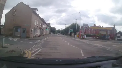
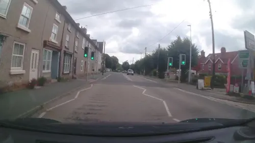
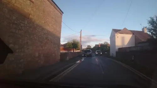
Pant is a village in Shropshire, England. It lies near the border with Wales. Pant means 'hollow' in Welsh: it is located directly below the disused mines at Llanymynech Rocks Nature Reserve. The population at the 2011 census is listed under the Civil Parish of Llanymynech and Pant.
From the Wikipedia article Pant, Shropshire (this version), under CC BY-SA 4.0.
Things to do2

Museums and landmarks4



Parks, trails and playgrounds1

Restaurants and cafes12

History
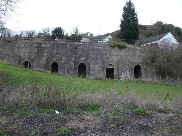
The Llanymynech Rocks Reserve has known human activity since Roman times when it is known to have had a copper mine. More recently there has been a limestone quarry. At their prime, Pant and Llanymynech had a tramway from the mines down to various kilns in the villages. Pant's state-of-the-art kilns by the Montgomery Canal were used for only a short period after which they were superseded by the more efficient hoffman kiln at Llanymynech.
From the History section of Pant, Shropshire on Wikipedia, under CC BY-SA 4.0.
Churches and places of worship2
Schools, colleges and libraries2
Map of Pant
23 places. The map loads OpenStreetMap tiles when you open it.
Getting there and nearby towns
Hawarden Airport (CEG) is the nearest airport with scheduled flights listed in OpenStreetMap, 27 miles away.
- Oswestry 5 mi north, about 8 min by car
- Whittington 7 mi northeast, about 11 min by car
- Ruyton-XI-Towns 7 mi east, about 12 min by car
- Baschurch 10 mi east, about 15 min by car
- Great Hanwood 13 mi southeast, about 21 min by car
- Shrewsbury 15 mi east, about 24 min by car
- Rhosllannerchrugog 15 mi north, about 24 min by car
- Shawbury 17 mi east, about 28 min by car
- Wrexham 18 mi north, about 29 min by car
- Brymbo 19 mi north, about 31 min by car
Drive times are estimates from straight-line distance, not routes.
Towns near Pant


Keep exploring
Local news
Headlines from INDB.
Reviews, tips and questions
Loading what members have shared...
Sources and licences
- GeoNames (CC BY 4.0): population, coordinates, regions and time zone
- Mapillary (see each image): photos
- OpenStreetMap contributors (ODbL 1.0): places, airports, map data
- Wikidata (CC0 1.0): elevation, founding date, time zone, website, landmarks and historic places
- Wikimedia Commons (see each image): photos
- Wikipedia (CC BY-SA 4.0): overview and history text
Photo credits
- St Michael the Archangel, Llanyblodwel 38, Oosoom at English Wikipedia, CC BY-SA 3.0
- Church Of St Agatha, Ralf Tenbrink, CC BY-SA 4.0
- Lime kilns near Pant, Jeremy Bolwell, CC BY-SA 2.0
- Hoffmann Kiln, Llanymynech, David Smith, CC BY-SA 2.0
- Cross Keys, Llanymynech, Dave.Dunford, CC BY-SA 4.0
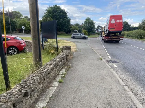
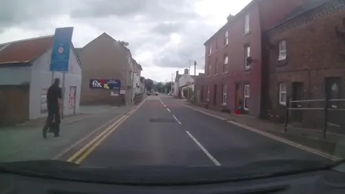
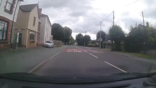
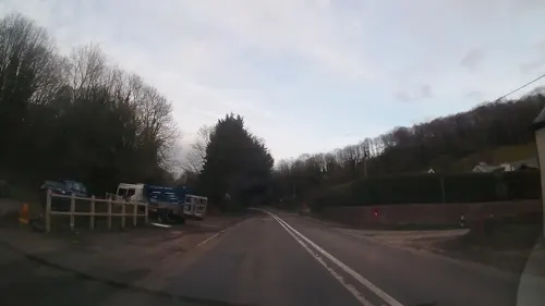
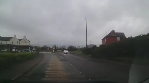
- Street-level photo, trigpoint, CC BY-SA 4.0
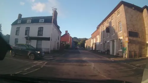
- Street-level photo, JackW25, CC BY-SA 4.0
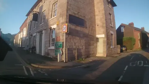
- Street-level photo, trigpoint, CC BY-SA 4.0
- Street-level photo, trigpoint, CC BY-SA 4.0
- Street-level photo, trigpoint, CC BY-SA 4.0
- Street-level photo, trigpoint, CC BY-SA 4.0
- Street-level photo, trigpoint, CC BY-SA 4.0
- Street-level photo, trigpoint, CC BY-SA 4.0
- Street-level photo, trigpoint, CC BY-SA 4.0
- Street-level photo, trigpoint, CC BY-SA 4.0
Page built November 10, 2026. Spotted a mistake? Tell us or suggest a place.