


Ponteland, United Kingdom
Ponteland is a town of 10,135 people in England, United Kingdom.
Why visit Ponteland
Townapedia lists 1 museum or landmark, 3 parks and trails, 18 places to eat and 3 places to stay in and around town.
Highlights include Northumberland College Zoo.
Weather in Ponteland
Forecast from MET Norway (CC BY 4.0). Full forecast
About Ponteland
Ponteland is a town and civil parish in Northumberland, England. It is 8 miles (13 km) northwest of Newcastle upon Tyne.
From the Wikipedia article Ponteland (this version), under CC BY-SA 4.0.
Museums and landmarks1
Parks, trails and playgrounds3

Northumberland College Zoo
Park · 2.8 mi
Zoo in Ponteland, Northumberland


Restaurants and cafes18

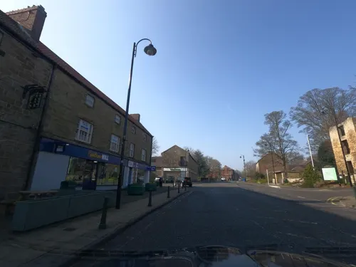
Princess Garden Restaurant
Restaurant · Chinese
Brewery Lane, Newcastle upon Tyne
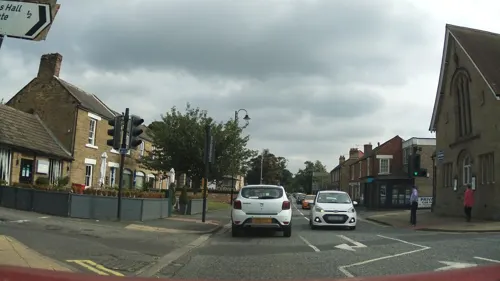
Rialto Restaurante Italiano
Restaurant · Italian
1 Main Street, Newcastle upon Tyne
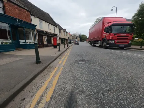

Elkwater Darras Hall
Cafe · Bistro, Canadian, French, Breakfast · 1.2 mi
33-35 Broadway, Newcastle upon Tyne
Mo-We 08:30-17:00; Th-Fr 08:30-23:00; Sa 09:00-23:00; Su 09:00-23:00

6 more on the map.
Where to stay3

History
There has been nearly a thousand years of Christian worship in Ponteland. This traditionally concentrated around St Mary's the Virgin, the prominent Church of England church near Ponteland's village green. St Mary's traces its first construction to the Norman period in the twelfth century and is still an active church. Ponteland has parish registries dating from 1602 and has been recorded in Bishops transcripts as an important place of religion since 1762.
Christian worship in Ponteland has expanded to other denominations in recent centuries. The Ponteland Methodist Church opened in 1841. An 1848 review appreciated Ponteland also hosted places of worship for Scottish Presbyterians and a Wesleyan chapel.
In 1867, an Anglican sister church to St Mary's opened in Milbourne, one of Ponteland's wards. In 1884, a Catholic church was established at St Matthews, now part of the Hexham and Newcastle Catholic diocese. In the twentieth century, a United Reformed Church opened in Darras Hall.
In the 13th century, Ponteland narrowly escaped conflict when the Treaty of Newcastle (1244) ensured a last minute peace between Scottish and English forces. The treaty bears the name of Ponteland's nearest city but was actually signed in the village.
Read more of the history
During the 14th century, Ponteland was less fortunate. Scottish forces destroyed part of Ponteland Castle, as prelude to the Battle of Otterburn in 1388, twenty miles (thirty kilometres) northwest of Ponteland. Taking advantage of English distractions in the Hundred Years’ War with France, 1337–1453, this battle saw a decisive defeat for English forces and the expansion of Scottish influence in Ponteland's Middle Ages experience.
While Ponteland Castle was never rebuilt as a military stronghold, it transformed into a public house. Known as The Blackbird, this still serves the Ponteland community, nearly seven hundred years after the destruction of its original purpose.
Parts of Darras Hall were used as a prisoner-of-war camp in the Second World War. The camp was designated number 69 of several hundred camps across Britain and held Italian and German prisoners of war. Reflecting the post-war growth of the village, Ponteland High School opened in 1972. The affluent housing estate of Darras Hall is a popular choice for many of North East England's wealthy residents and many people associated with Newcastle United Football Club live in the parish including Alan Shearer, Peter Beardsley, Steven Taylor, George Hall, Phil Barton and Terry McDermott.
In 2005, Darras Hall received considerable media attention when a convicted rapist moved to the estate, after purchasing a house with his National Lottery winnings.
In the early 21st century, an expanding Ponteland and the adjoining Darras Hall was home to approximately 11,000 people.
From the History section of Ponteland on Wikipedia, under CC BY-SA 4.0.
More about Ponteland
Economy
Ponteland residents are particularly active in commercial and financial services in northern England, southern Scotland, and the wider European Union. The parish benefits from its proximity to Newcastle Airport, which is the tenth busiest in the United Kingdom and operates frequent flights to London Heathrow, several European capitals, and North America. Ponteland residents are more likely than Northumbrians to be managers, directors and senior officials or in the professions or associate professions. Ponteland has 58% such individuals versus 38% in Northumberland overall.
Education
In September 2017, the three-tier education system in Ponteland changed to a two-tier system, despite the many benefits of three-tier system that parents campaigned to keep. The two existing First Schools converted to Primary Schools, along with Richard Coates Church of England Middle School which retained its older year groups until they had completed their year 8 education. Ponteland Community Middle School remained as a middle school at this time, converting to an academy. Ponteland High School sought planning permission for a new school building in order to house the increased pupil intake at years 7 and 8. This was due to be completed in September 2020. Ponteland Community Middle School then converted to a Primary school in September 2020.
There are now four Primary schools in Ponteland: Ponteland Primary School, Darras Hall Primary School, Richard Coates Church of England Primary School and Ponteland Community Primary School. There is one Secondary school, Ponteland Community High School, which educates pupils aged 11–18.
From the Wikipedia article Ponteland, under CC BY-SA 4.0.
Notable people from Ponteland
- Peter Swinnerton-DyerBritish mathematician (1927-2018)
- John BatesBritish fashion designer
- Michael GillBritish road cyclist
- Robbie WakenshawEnglish footballer (born 1965)
Born in Ponteland, according to Wikidata (CC0). Each name links to its Wikipedia article.
Churches and places of worship3
Shopping4
Gas and EV charging1
Schools, colleges and libraries6
Ponteland Community Primary School
School · 0.5 mi
Callerton Lane, Newcastle upon Tyne
Richard Coates Church of England Primary School
School · Anglican
Thornhill Road, Newcastle upon Tyne
Healthcare2
Map of Ponteland
41 places. The map loads OpenStreetMap tiles when you open it.
Getting there and nearby towns
Newcastle International Airport (NCL) is the nearest airport with scheduled flights listed in OpenStreetMap, 2 miles away.
- Newcastle upon Tyne 7 mi southeast, about 12 min by car
- Prudhoe 7 mi southwest, about 12 min by car
- Whickham 8 mi south, about 12 min by car
- Sunderland 18 mi southeast, about 28 min by car
- Ryhope 19 mi southeast, about 31 min by car
- Seaham 22 mi southeast, about 35 min by car
- Spennymoor 25 mi south, about 40 min by car
- Middlesbrough 39 mi southeast, about 1 h by car
- Thornaby-on-Tees 40 mi southeast, about 1 h by car
- Yarm 41 mi south, about 1 h by car
Drive times are estimates from straight-line distance, not routes.
Towns near Ponteland


Keep exploring
Local news
Headlines from INDB.
Reviews, tips and questions
Loading what members have shared...
Sources and licences
- GeoNames (CC BY 4.0): population, coordinates, regions and time zone
- Mapillary (see each image): photos
- OpenStreetMap contributors (ODbL 1.0): places, airports, map data
- Wikidata (CC0 1.0): elevation, founding date, time zone, website, landmarks and historic places
- Wikimedia Commons (see each image): photos
- Wikipedia (CC BY-SA 4.0): overview and history text
Photo credits
- Ponteland, Paypwip, CC BY-SA 3.0
- The Blackbird Inn, Ponteland-by-Andrew-Curtis, Andrew Curtis, CC BY-SA 2.0
- Northumberland College Zoo Entrance July 2020, TheArmchairSoldier, CC BY-SA 4.0
- Path, Ponteland Park, Andrew Curtis, CC BY-SA 2.0
- Street-level photo, southglos, CC BY-SA 4.0
- Street-level photo, floatingboater, CC BY-SA 4.0
- Street-level photo, floatingboater, CC BY-SA 4.0
- Street-level photo, floatingboater, CC BY-SA 4.0
- Street-level photo, southglos, CC BY-SA 4.0
- Street-level photo, floatingboater, CC BY-SA 4.0
- Street-level photo, southglos, CC BY-SA 4.0
- Street-level photo, floatingboater, CC BY-SA 4.0
- Street-level photo, victuallers, CC BY-SA 4.0
- Street-level photo, southglos, CC BY-SA 4.0
- Street-level photo, floatingboater, CC BY-SA 4.0
- Street-level photo, floatingboater, CC BY-SA 4.0
- Street-level photo, southglos, CC BY-SA 4.0
- Street-level photo, victuallers, CC BY-SA 4.0
- Street-level photo, southglos, CC BY-SA 4.0
- Street-level photo, southglos, CC BY-SA 4.0
- Street-level photo, southglos, CC BY-SA 4.0
- Street-level photo, southglos, CC BY-SA 4.0
Page built November 10, 2026. Spotted a mistake? Tell us or suggest a place.