


Why visit Renton
Townapedia lists 8 museums and landmarks, 5 parks and trails, 9 places to eat, 2 places to stay and 1 attraction in and around town.
Highlights include Overtoun Bridge and Balloch Country Park.
Weather in Renton
Forecast from MET Norway (CC BY 4.0). Full forecast
About Renton
Renton is a village in the Vale of Leven in West Dunbartonshire, Scotland. In the 2001 National Census it had a population of 2,138.
From the Wikipedia article Renton, West Dunbartonshire (this version), under CC BY-SA 4.0.
Things to do1

Overtoun Bridge
Bridge · 2.6 mi
Road bridge in West Dunbartonshire, Scotland, UK, carries an estate driveway across Overtoun Burn
Museums and landmarks8
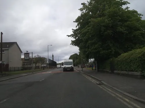
Renton International Brigades Memorial
Monument and historic site
An iron bull commemorates the five volunteers from the village of Renton who fought against fascism in the Spanish Civil War.
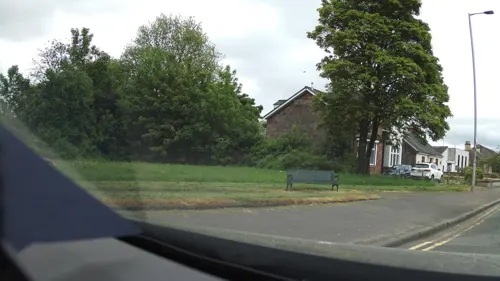
Renton War Memorial
Monument and historic site
A memorial commemorating those from Renton who lost their lives in the First and Second World Wars.

Parks, trails and playgrounds5

Balloch Country Park
Park · 2.8 mi
Country park in West Dunbartonshire, Scotland, UK


Restaurants and cafes9

Costa
Cafe · Coffee Shop · 1.4 mi
Lomondgate Roundabout
Mo-Sa 07:00-21:00, Su 07:30-21:00

Brewers Fayre
Bar and pub · British · 1.4 mi
Mo-Fr 06:30-11:00,12:00-23:00; Sa 07:00-11:00,12:00-23:00; Su...


History
Renton was built as a model village in 1762, taking its name from Cecilia Renton, the wife of the local landlord. Dalquhurn Bleachworks in 1715 and Cordale Printworks in 1770 were responsible for attracting new industrial workers. At the north of the village stood the Place of Bonhill, a residence from 1642; to the South was Dalquhurn House. Two parallel north–south streets, Main Street and Back Street, were first joined by Station Street, Stirling Street, Burns Street, Thimble Street, Market Street and Red Row. In late Victorian times, the village extended southwards to Leven Street, Alexander Street and John Street. Further expansion occurred in the 1930s as housing was built in the grounds of Cordale House. In the early 1960s the majority of the sandstone properties in the village were compulsorily purchased by Dumbarton County Council, demolished and replaced by the council with 1960s Brutalist-style concrete houses and flats, the majority of which have been replaced by proper houses, own front and back door, by the Cordale Housing Association.
Read more of the history
Renton has traditionally been a stronghold of radical left-wing politics. During the 1930s it had Communist councillors, Bunger Lamont, never toed the Labour Party line and independent councillors such as Jimmy McKenzie (1960/70s). Since 1999 it has been represented on West Dunbartonshire council by Jim Bollan, at present the Scottish Socialist Party's only councillor.
It lies on the main road, A82 as was, between Alexandria and Dumbarton. Renton railway station is on the line from Glasgow to Balloch. It has a footbridge across the River Leven to the Strathleven Industrial Estate (once a major source of employment), and a minor road, with a steep 33% hill, across Carman Hill to Cardross.
Despite a report that appeared in The Observer on Sunday 22 February 2009 stating that the buried ruins of the manor house of Robert the Bruce had been found in the Pillanflatt area of Renton, this interpretation has yet to be confirmed. While there is strong charter evidence to indicate the presence of a manor or hunting lodge belonging to Bruce in the area, this is more likely to have been located in the vicinity of Mains of Cardross, to the south of the Pillanflat, rather than in the area to the north of it. Stone, plaster and mortar are not generally susceptible to scientific dating techniques, and lime mortar was used from the Roman period up to the late 19th or early 20th centuries.
According to Bruce Historian Stuart Smith, a charter dating from 1362 charter states that Robert the Bruce resided between Kings Park of Cardross and the lands of Pillanflatt, bounding the lands of Dalquhurn. This would suggest a site to the south of the Pillanflat, but to the north of Castle Park, in the vicinity of what is now Mains of Cardross.
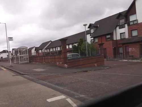
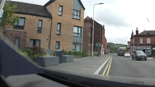
In recent times, Renton has seen some major social regeneration most notably, although not restricted to, housing.
From the History section of Renton, West Dunbartonshire on Wikipedia, under CC BY-SA 4.0.
Notable people from Renton
 John CampbellScottish footballer who played for Sunderland as a forward, 1870 (1870–1906)Photo: Romashkowi, CC0
- Andrew HannahScottish footballer (1864-1940)
- Duncan McLeanScottish footballer (1868-1941)
- Alex Jacksonfootballer born in 1905
- James KellyBritish football player, born 1865 (1865–1932)
- Tom RobertsonScottish footballer (1873-1939)
- Peter FarmerScottish football manager (1886–1964)
- James McBrideScottish footballer (1873-1950)
- James Allison GlenCanadian politician (1877–1950)
- Patrick GordonScottish footballer
- Tom VallanceScottish footballer (1856-1935)
- James McCallScottish footballer (1865-1925)
Born in Renton, according to Wikidata (CC0). Each name links to its Wikipedia article.
Where to stay2
Churches and places of worship9
Our Lady & St Mark's RC Church
Church · Roman Catholic · 1.1 mi
Ferry Loan, Bank St, Alexandria
Shopping3
Gas and EV charging2
Schools, colleges and libraries10
Healthcare3
Vale of Leven District General Hospital
Hospital · 1.4 mi
Main Street
Map of Renton
52 places. The map loads OpenStreetMap tiles when you open it.
Getting there and nearby towns
Glasgow Airport (GLA) is the nearest airport with scheduled flights listed in OpenStreetMap, 9 miles away.
- Vale of Leven 0 mi east, about 1 min by car
- Dumbarton 2 mi south, about 3 min by car
- Balloch 2 mi north, about 3 min by car
- Port Glasgow 5 mi southwest, about 8 min by car
- Helensburgh 6 mi northwest, about 10 min by car
- Greenock 7 mi west, about 11 min by car
- Erskine 7 mi southeast, about 12 min by car
- Clydebank 8 mi southeast, about 14 min by car
- Rhu 8 mi northwest, about 12 min by car
- Gourock 9 mi west, about 15 min by car
Drive times are estimates from straight-line distance, not routes.
Towns near Renton


Keep exploring
Local news
Headlines from INDB.
Reviews, tips and questions
Loading what members have shared...
Sources and licences
- GeoNames (CC BY 4.0): population, coordinates, regions and time zone
- Mapillary (see each image): photos
- OpenStreetMap contributors (ODbL 1.0): places, airports, map data
- Wikidata (CC0 1.0): elevation, founding date, time zone, website, landmarks and historic places
- Wikimedia Commons (see each image): photos
- Wikipedia (CC BY-SA 4.0): overview and history text
Photo credits
- BallochCountryPark, Unknown author, CC BY-SA 4.0
- Dumbarton Municipal Buildings and College Bow, AlasdairW, CC BY-SA 3.0
- Street-level photo, southglos, CC BY-SA 4.0
- Street-level photo, IpswichEdits, CC BY-SA 4.0
- Street-level photo, southglos, CC BY-SA 4.0
- Street-level photo, IpswichEdits, CC BY-SA 4.0
- Street-level photo, smsm1, CC BY-SA 4.0
- Street-level photo, smsm1, CC BY-SA 4.0
- Street-level photo, IpswichEdits, CC BY-SA 4.0
- Street-level photo, southglos, CC BY-SA 4.0
- Street-level photo, southglos, CC BY-SA 4.0
- Street-level photo, southglos, CC BY-SA 4.0
- Street-level photo, southglos, CC BY-SA 4.0
- Street-level photo, southglos, CC BY-SA 4.0
- Street-level photo, southglos, CC BY-SA 4.0
- Street-level photo, southglos, CC BY-SA 4.0
- Street-level photo, southglos, CC BY-SA 4.0
- Street-level photo, southglos, CC BY-SA 4.0
- Street-level photo, IpswichEdits, CC BY-SA 4.0
Page built November 10, 2026. Spotted a mistake? Tell us or suggest a place.