


Vale of Leven, United Kingdom
Vale of Leven is a town of 24,640 people in Scotland, United Kingdom.
Why visit Vale of Leven
Townapedia lists 8 museums and landmarks, 5 parks and trails, 9 places to eat, 2 places to stay and 1 attraction in and around town.
Highlights include Overtoun Bridge and Balloch Country Park.
Weather in Vale of Leven
Forecast from MET Norway (CC BY 4.0). Full forecast
About Vale of Leven
The Vale of Leven (Scottish Gaelic: Magh Leamhna) is an area of West Dunbartonshire, Scotland, comprising the valley of the River Leven. It historically formed the core of the region of Lennox.
From the Wikipedia article Vale of Leven (this version), under CC BY-SA 4.0.
Things to do1

Overtoun Bridge
Bridge · 2.5 mi
Road bridge in West Dunbartonshire, Scotland, UK, carries an estate driveway across Overtoun Burn
Museums and landmarks8
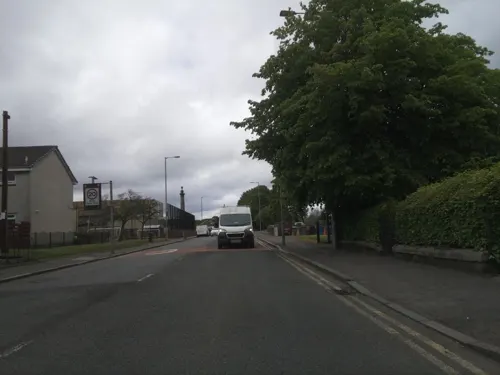
Renton International Brigades Memorial
Monument and historic site
An iron bull commemorates the five volunteers from the village of Renton who fought against fascism in the Spanish Civil War.
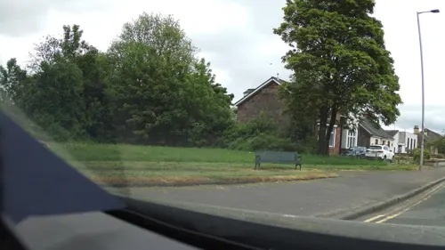
Renton War Memorial
Monument and historic site
A memorial commemorating those from Renton who lost their lives in the First and Second World Wars.

Parks, trails and playgrounds5

Balloch Country Park
Park · 2.9 mi
Country park in West Dunbartonshire, Scotland, UK


Restaurants and cafes9

Costa
Cafe · Coffee Shop · 1.2 mi
Lomondgate Roundabout
Mo-Sa 07:00-21:00, Su 07:30-21:00

Brewers Fayre
Bar and pub · British · 1.3 mi
Mo-Fr 06:30-11:00,12:00-23:00; Sa 07:00-11:00,12:00-23:00; Su...


History
Carman Hill is a large hillfort sitting west of Renton. Despite its impressive size, a lack of detailed archaeological investigations make the timing of its inhabitation and many other basic details uncertain, but its close geographical proximity to the major fortress of Alcluith at Dumbarton Rock (sited where the River Leven meets the River Clyde) suggests a relationship with this important iron age centre. After incorporation of Alcluith's successor state, Strathclyde, into the kingdom of Scotland, the Vale of Leven became the political centre of the Earldom of Lennox. By the 13th century nearby Dumbarton was centrally controlled by the crown as a royal burgh, however the Vale of Leven remained a relatively wild area. As an example, in 1230 when the Earl of Lennox granted valuable fishing rights on the River Leven to local monks, he had to promise them protection to enable them to work there. After the Wars of Independence, Robert the Bruce purchased land in Cardross and the Vale of Leven. He lived and ruled from there until his death in 1329. There is a small King Robert the Bruce Heritage Centre situated at the train station in Renton.
Read more of the history
The Vale of Leven was an area of small farms and relatively low population until industrialisation started with the establishment of a bleach-field at Dalquhurn, Renton in 1715. Both dyeing and bleaching industries were attracted to the area by the reliable and fast flowing waters of the River Leven. By the 1830's dye works had spread along the river from Renton to Balloch. Individual works included those at Dalquhurn, Cordale, Bonhill, Alexandria, Milton, Dalmonach, Dillichip, Ferryfield and Levenbank. People emigrated from the Highlands, from Ireland and from northern England to staff this industry, and the five villages of The Vale grew. In 1897 several of these works amalgamated as the United Turkey Red Company. The last dyeworks in the area was the British Silk Factory which closed in 1980. Current notable employers include Loch Lomond Distilleries, Chivas Brothers distillers, and Aggreko Generators. The tourism and hospitality industries are also important local employers.
From the History section of Vale of Leven on Wikipedia, under CC BY-SA 4.0.
More about Vale of Leven
Geography
The Vale is bounded on the east by the Kilpatrick Hills, while the hills to the west form a minor offshoot of the Scottish Highlands, comprising Ben Bouie, Mount Mallow and Carman Muir. The valley was shaped by glacial action associated with the last glacial period in Britain, the Loch Lomond Readvance. While the valley itself is mostly sedimentary and metamorphic, the surrounding hills are composed of 340 million year old igneous rock from the carboniferous. Notably, Dumbarton Rock consists of the remnants of a volcanic plug formed during the same period.
From the Wikipedia article Vale of Leven, under CC BY-SA 4.0.
Notable people from Vale of Leven
- Ryan ConroyBritish footballer (born 1987)
- John PenderBritish politician and industrialist (1816–1896)
- Bob DorisScottish politician (born 1973)
- Hugh GallacherScottish footballer (1930-2013)
- John HenryBritish footballer (born 1971)
- Michael Dickieassociation football player (born 1979)
- Nicola SkrastinScottish Hockey player
- John Dillonassociation football player (1978-)
- Alex Graceassociation football player
Born in Vale of Leven, according to Wikidata (CC0). Each name links to its Wikipedia article.
Where to stay2
Churches and places of worship10
Our Lady & St Mark's RC Church
Church · Roman Catholic · 1.1 mi
Ferry Loan, Bank St, Alexandria
St Peter's RC Church
Church · Roman Catholic · 1.5 mi
(52) Howatshaws Road, Dumbarton
Shopping3
Gas and EV charging2
Schools, colleges and libraries11
Healthcare3
Vale of Leven District General Hospital
Hospital · 1.5 mi
Main Street
Map of Vale of Leven
54 places. The map loads OpenStreetMap tiles when you open it.
Getting there and nearby towns
Glasgow Airport (GLA) is the nearest airport with scheduled flights listed in OpenStreetMap, 9 miles away.
- Dumbarton 2 mi south, about 3 min by car
- Port Glasgow 5 mi southwest, about 8 min by car
- Helensburgh 6 mi northwest, about 10 min by car
- Greenock 7 mi west, about 12 min by car
- Erskine 7 mi southeast, about 11 min by car
- Clydebank 8 mi southeast, about 13 min by car
- Gourock 9 mi west, about 15 min by car
- Renfrew 10 mi southeast, about 16 min by car
- Bearsden 10 mi east, about 17 min by car
- Johnstone 10 mi south, about 16 min by car
Drive times are estimates from straight-line distance, not routes.
Towns near Vale of Leven


Keep exploring
Local news
Headlines from INDB.
Reviews, tips and questions
Loading what members have shared...
Sources and licences
- GeoNames (CC BY 4.0): population, coordinates, regions and time zone
- Mapillary (see each image): photos
- OpenStreetMap contributors (ODbL 1.0): places, airports, map data
- Wikidata (CC0 1.0): elevation, founding date, time zone, website, landmarks and historic places
- Wikimedia Commons (see each image): photos
- Wikipedia (CC BY-SA 4.0): overview and history text
Photo credits
- BallochCountryPark, Unknown author, CC BY-SA 4.0
- Dumbarton Municipal Buildings and College Bow, AlasdairW, CC BY-SA 3.0
- Street-level photo, southglos, CC BY-SA 4.0
- Street-level photo, IpswichEdits, CC BY-SA 4.0
- Street-level photo, southglos, CC BY-SA 4.0
- Street-level photo, IpswichEdits, CC BY-SA 4.0
- Street-level photo, smsm1, CC BY-SA 4.0
- Street-level photo, smsm1, CC BY-SA 4.0
- Street-level photo, IpswichEdits, CC BY-SA 4.0
- Street-level photo, southglos, CC BY-SA 4.0
- Street-level photo, southglos, CC BY-SA 4.0
- Street-level photo, southglos, CC BY-SA 4.0
- Street-level photo, southglos, CC BY-SA 4.0
- Street-level photo, southglos, CC BY-SA 4.0
- Street-level photo, southglos, CC BY-SA 4.0
- Street-level photo, southglos, CC BY-SA 4.0
- Street-level photo, southglos, CC BY-SA 4.0
- Street-level photo, southglos, CC BY-SA 4.0
- Street-level photo, IpswichEdits, CC BY-SA 4.0
Page built November 10, 2026. Spotted a mistake? Tell us or suggest a place.