


Why visit Ripley
Townapedia lists 12 museums and landmarks, 33 parks and trails, 26 places to eat, 1 place to stay and 6 attractions in and around town.
Highlights include New Victoria Theatre, Rhoda McGaw Theatre, Send and Ripley History Society Museum and Byfleet Manor.
Weather in Ripley
Forecast from MET Norway (CC BY 4.0). Full forecast
About Ripley
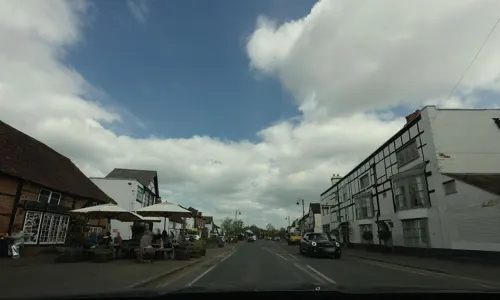
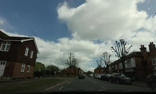
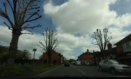
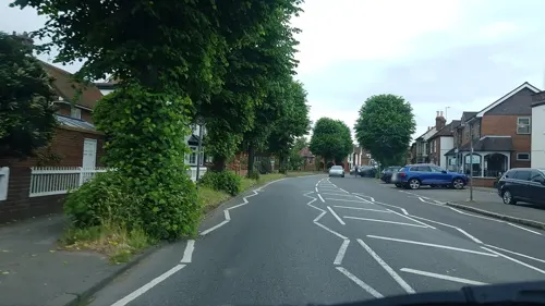
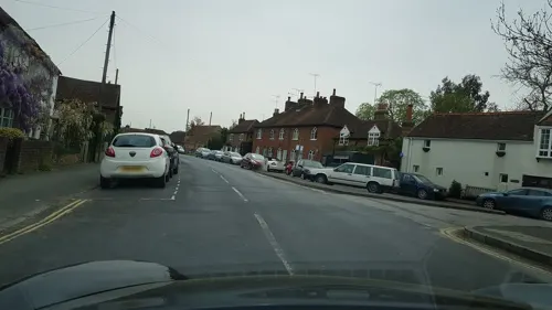
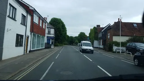
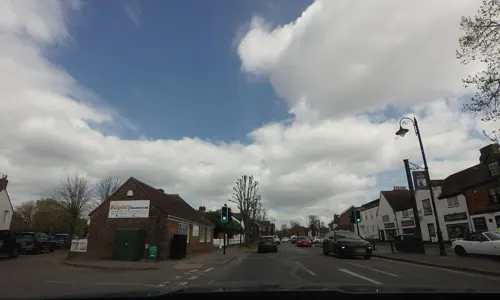
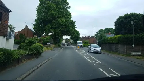
Ripley is a village and civil parish in Surrey, England. It is centred 6.2 miles (10.0 km) southeast of Woking, 6.8 miles (10.9 km) northeast of Guildford and 22.5 miles (36.2 km) southwest of London. Neighbouring villages Send and Send Marsh to the South-West and Ockham to the East have fewer shopping facilities.
From the Wikipedia article Ripley, Surrey (this version), under CC BY-SA 4.0.
Things to do6

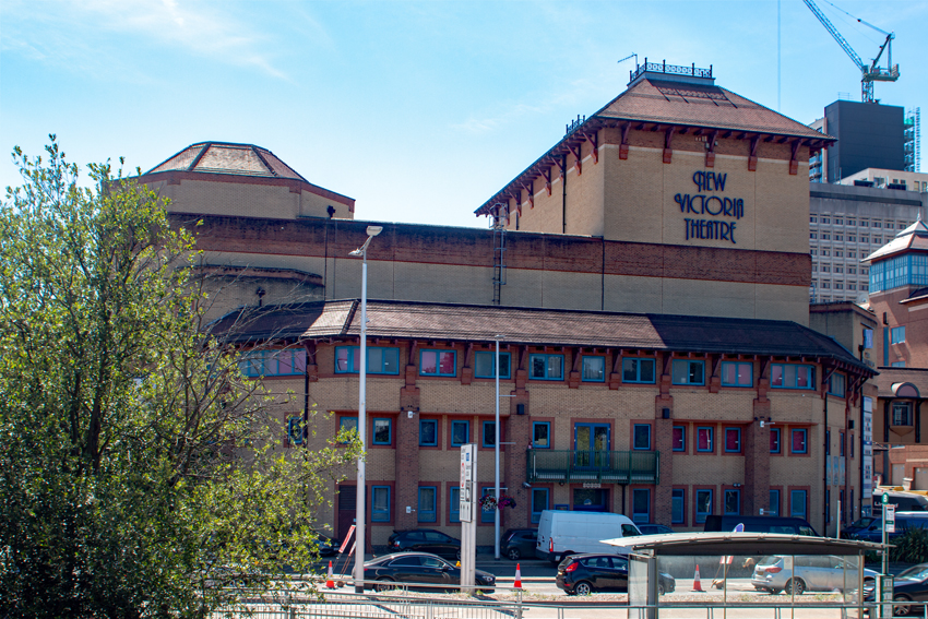
New Victoria Theatre
Cinema and theater · 3.3 mi
Theatre in Woking, England


Museums and landmarks12


Clandon Park
Museum · 3.4 mi
Country house and museum in Surrey, England, UK

Hatchlands Park
Museum · 3.0 mi
Grade I listed historic house museum in East Clandon, Surrey, United Kingdom (National Trust property)

The Lightbox
Museum · 3.3 mi
Museum in Surrey, England, United Kingdom

Woking Palace moated site, fishponds and ruins at Oldhall Copse
Monument and historic site · 1.5 mi
Archaeological site in Old Woking, Surrey, England, UK



Muslim Burial Ground, Horsell Common
Monument and historic site · 3.0 mi
Former cemetery and current peace garden in Woking, Surrey, England, UK
Parks, trails and playgrounds33



Hoebridge Golf Centre
Golf course · 1.9 mi
18 hole Par 72 Hoebridge Course Course & 9 hole Par 33 Shey Copse Course & 9 hole Par 27 Short Course (Maybury)
Old Woking Road, Old Woking

Papercourt Marshes
Park · 0.9 mi
Site of Special Scientific Interest in Surrey, England, UK
21 more on the map.
Restaurants and cafes26


Taste of India
Restaurant · Indian · 1.8 mi
150 Send Road, Woking
14 more on the map.
History
The village has existed since Norman times – the chancel of the church of St. Mary Magdalen shows construction of circa 1160 there and supporting feet of fines and ecclesiastical records mention the village at the time. Ripley's sister village of Send to the south-west was the governing parish over the village for over 700 years until 1878 when they became two separate ecclesiastical parishes; they became separate civil parishes in 1933.
From the History section of Ripley, Surrey on Wikipedia, under CC BY-SA 4.0.
More about Ripley
Geography
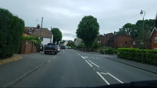
Lying on the main road from London to Portsmouth (from the 1930s referred to as the A3), Ripley was the post town for the whole area (including Woking) from 1813 to 1865. With the coming of the railway to what was then Woking Common in 1838, Ripley's importance diminished, and Woking became its post town in 1865. As motor traffic increased during the 1960s and the 1970s, the Portsmouth Road at Ripley became a notorious bottleneck, relieved by the building of the Ripley bypass in 1976. The A3 was renamed the B2215, and what has always been a major trunk road was expanded into six lanes north of Guildford, bypassing Send and Ripley.
From the Wikipedia article Ripley, Surrey, under CC BY-SA 4.0.
Notable people from Ripley
 Eric ClaptonBritish musicianPhoto: Raph_PH, CC BY 2.0
- Michael EllmanBritish economist
- Joseph Estlin CarpenterBritish theologian (1844–1927)
- Wally Pullen(1919-1977)
Born in Ripley, according to Wikidata (CC0). Each name links to its Wikipedia article.
Where to stay1
Churches and places of worship13
Shopping3
Gas and EV charging2
Schools, colleges and libraries7
Map of Ripley
103 places. The map loads OpenStreetMap tiles when you open it.
Getting there and nearby towns
Heathrow Airport (LHR) is the nearest airport with scheduled flights listed in OpenStreetMap, 12 miles away.
- Woking 3 mi northwest, about 5 min by car
- West Horsley 3 mi southeast, about 5 min by car
- Cobham 4 mi northeast, about 7 min by car
- Addlestone 5 mi north, about 8 min by car
- Weybridge 5 mi north, about 8 min by car
- Great Bookham 5 mi east, about 8 min by car
- Guildford 6 mi southwest, about 9 min by car
- Chertsey 6 mi north, about 10 min by car
- Leatherhead 7 mi east, about 11 min by car
- Esher 7 mi northeast, about 12 min by car
Drive times are estimates from straight-line distance, not routes.
Towns near Ripley


Keep exploring
Local news
Headlines from INDB.
Reviews, tips and questions
Loading what members have shared...
Sources and licences
- GeoNames (CC BY 4.0): population, coordinates, regions and time zone
- Mapillary (see each image): photos
- OpenStreetMap contributors (ODbL 1.0): places, airports, map data
- Wikidata (CC0 1.0): elevation, founding date, time zone, website, landmarks and historic places
- Wikimedia Commons (see each image): photos
- Wikipedia (CC BY-SA 4.0): overview and history text
Photo credits
- Ripley Court School 03, Simon Burchell, CC BY-SA 4.0
- Royal British Legion, Ripley, Surrey, Simon Burchell, CC BY-SA 4.0
- Ripley Court School 01, Simon Burchell, CC BY-SA 4.0
- Ripley Court School 02, Simon Burchell, CC BY-SA 4.0
- Ripley, High Street, Andrew Longton, CC BY-SA 2.0
- New Victoria Theatre, Woking, Murgatroyd49, CC BY-SA 4.0
- Clandon House, Murraypaul at English Wikipedia, Public domain
- HatchlandsPark front, Martinvl, CC BY-SA 4.0
- The Lightbox (c) Ian Rudgewick Brown - cropped, The Lightbox, CC BY-SA 4.0
- Woking Palace, Old Woking, Surrey 01, Mertbiol, CC0
- Manor Farm, Surrey (8), Dudley Miles, CC BY-SA 4.0
- StPetersChurch 1, Akoliasnikoff, CC BY-SA 4.0
- AllSoulsSuttonGreen, Jasontutty, CC BY-SA 3.0
- Woking-TownSquare, AlanFord at English Wikipedia, Public domain
- St Mary of Bethany's Church, Mount Hermon Road, Woking (June 2015) (2), Hassocks5489, CC0
- Horsell Church1, Akoliasnikoff, CC BY-SA 4.0
- Newark Priory ruins, User:JohnArmagh, Public domain
- St Mary Magdalen's Church, High Street, Ripley (May 2014) (5), Hassocks5489, CC0
- Church of the Good Shepherd, Coldharbour Road, Pyrford (June 2015) (4), Hassocks5489, CC0
- Wisley Gardens laboratory 8 6 7-90, Patche99z, Public domain
- Rhoda McGaw Auditorium front 1975, Woking Borough Council, CC0
- Byfleet Manor House, Colin Smith, CC BY-SA 2.0
- Woking Palace, Old Woking, Surrey 02, Mertbiol, CC0
- Street-level photo, richardc, CC BY-SA 4.0
- Street-level photo, richardc, CC BY-SA 4.0
- Street-level photo, tallguy, CC BY-SA 4.0
- Street-level photo, richardc, CC BY-SA 4.0
- Street-level photo, zymurgic, CC BY-SA 4.0
- Street-level photo, richardc, CC BY-SA 4.0
- Street-level photo, tallguy, CC BY-SA 4.0
- Street-level photo, tallguy, CC BY-SA 4.0
- Street-level photo, richardc, CC BY-SA 4.0
- Street-level photo, adam2, CC BY-SA 4.0
- Street-level photo, richardc, CC BY-SA 4.0
- Street-level photo, tallguy, CC BY-SA 4.0
- Street-level photo, richardc, CC BY-SA 4.0
- Street-level photo, tallguy, CC BY-SA 4.0
- Street-level photo, tallguy, CC BY-SA 4.0
- Street-level photo, richardc, CC BY-SA 4.0
- Street-level photo, richardc, CC BY-SA 4.0
- Street-level photo, jpennycook, CC BY-SA 4.0
- Street-level photo, randomhacks, CC BY-SA 4.0
- Street-level photo, richardc, CC BY-SA 4.0
- Street-level photo, richardc, CC BY-SA 4.0
- Street-level photo, richardc, CC BY-SA 4.0


Page built November 10, 2026. Spotted a mistake? Tell us or suggest a place.