


Why visit Ware
Townapedia lists 13 museums and landmarks, 17 parks and trails, 52 places to eat, 3 places to stay and 3 attractions in and around town.
Highlights include Kingsmead Viaduct, Foxholes Farm Shop & Butchery, Ware Museum and Scott's Grotto.
Weather in Ware
Forecast from MET Norway (CC BY 4.0). Full forecast
About Ware
Ware is a town and civil parish in the East Hertfordshire district of Hertfordshire, England. It lies to the east of the county town of Hertford. At the 2021 census, the parish had a population of 19,627.
From the Wikipedia article Ware, Hertfordshire (this version), under CC BY-SA 4.0.
Travel tips from other travellers: Ware on Wikivoyage (CC BY-SA 4.0).
Photos of Ware

Things to do3



Museums and landmarks13


Hertford Museum
Museum · 2.3 mi
Local museum in Hertford, Hertfordshire, England, United Kingdom

Ware Priory
Monument and historic site
The Priory (Ware Town Council Offices And Community Centre)
High Street, Ware
1 more on the map.
Parks, trails and playgrounds17


Hartham Common
Park · 2.1 mi
Park in Hertford, Hertfordshire, England, UK





5 more on the map.
Restaurants and cafes52
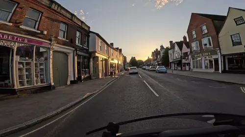
Enoteca Restaurant & Wine Bar
Restaurant · Italian
8 West Street, Ware
Tu 17:00-23:00; We-Th 12:00-23:00; Fr 12:00-01:00; Sa 12:00-01:30;...
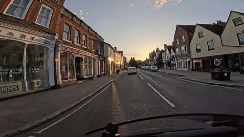
The Old Punch House
Bar and pub
7 West Street, Ware
Mo-Th 11:00-23:00; Fr-Sa 11:00-00:00; Su 12:00-22:30
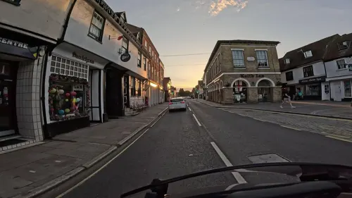
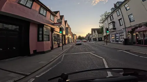
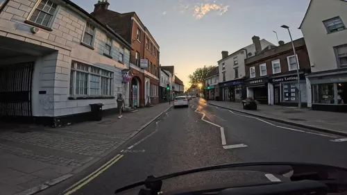
Sala Thai
Restaurant · Thai
34 High Street, Ware
PH 17:00-23:00; Tu-Th 12:00-15:00,18:00-22:30; Fr-Sa...
Sfizio
Restaurant · Italian
46-47 Church Street, Ware
Tu 17:00-22:30; We-Th 12:00-15:00,17:00-22:30; Fr-Su 12:00-23:00
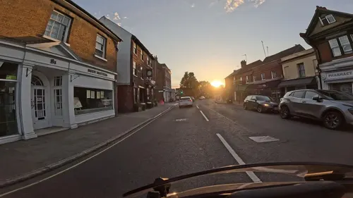
The Mexican
Restaurant · Mexican
102 High Street, Ware
Tu-Th 12:00-15:00,17:00-22:00; Fr-Sa 12:00-15:00,17:00-23:00; Su...
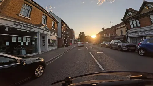
Village Taverna
Restaurant · Greek
42-44 West Street, Ware
Tu-Fr 12:00-15:00,17:00-22:00; Sa 13:00-23:00; Su 13:00-19:00
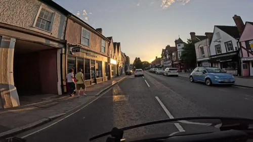

40 more on the map.
History
Archaeology has shown that Ware has been occupied since at least the Mesolithic period (which ended in about 4000 BC). The Romans had a sizeable settlement here and foundations of several buildings, including a temple, and two cemeteries have been found. Ware was on Ermine Street, the Roman road from London to Lincoln. A well-preserved Roman skeleton of a teenage girl was found beside the road and nicknamed 'Ermintrude'. It has been said that Ware is one of the oldest continuously occupied sites in Europe.
Read more of the history
In the Domesday Book of 1086, the town was named Waras from the natural weirs in the River Lea. The historic rivalry with nearby Hertford can be traced to 1090 when the Lady of Ware (Petronilla de Grandmesnil, Countess of Leicester) diverted Ermine Street from the Roman ford to create a High Street and new bridge over the Lea. The bailiff of Hertford tried to destroy the new bridge before it was recognised as part of the King's Highway by Henry III in person. In 1381, during the so-called Peasants' Revolt, 42 prominent Ware townsmen, led by the Vicar, joined others in destroying Hertford Castle, then owned by John of Gaunt. Many inns were established in the High Street, reflecting Ware's importance as a coaching stop on the Old North Road. Chaucer mentioned Ware twice in The Canterbury Tales. The Great Bed of Ware, cited by Shakespeare and other playwrights, was housed in a succession of Ware inns.
Mary I had Thomas Fust burned at the stake in Ware marketplace for refusing to convert to Catholicism.
In the 17th century, Ware became the source of the New River, constructed to take fresh water into London. The Ware Mutiny occurred on 15 November 1647, between the First and the Second English Civil War at Corkbush Field, when soldiers were ordered to sign a declaration of loyalty to Thomas Fairfax, the commander-in-chief of the New Model Army (NMA), and the Army Council. When some with Leveller sympathies refused to do this they were arrested and court-martialled; one of the ringleaders, Trooper Richard Arnold, was shot. 62 children were sent to Ware after the 1666 Great Fire of London. In 1683, the Rye House Plot involved assassinating Charles II after he passed through Ware. It failed.
England's first turnpike (toll) road was established at Wadesmill, two miles north of Ware, in 1633 in an attempt to control the malting traffic into and from Ware. The town had become a major maltmaking centre during the Civil War and soon became the most important supplier of malt to the Common Brewers of London, with its own quoted price on the London grain market, particularly for brown malt, used in brewing porter beer. The Ordnance Survey First Edition of 1880 showed 107 malt kilns in Ware, more than twice as many as in any other Hertfordshire town. The last working malting in Ware, Pauls Malt at Broadmeads, closed in 1994. In November 1999, the bronze Maltmaker statue by Oxfordshire sculptor, Jill Tweed, was unveiled outside St Mary's Church to commemorate the end of the industry and the Millennium. The unveiling was done by Hugo Page Croft, member of a famous Ware malting family; others involved in the project were Guy Horlock, chairman of the Stanstead Abbots maltsters, French & Jupps Ltd, and David Perman, curator of the Ware Museum.
Two legends associated with the 17th century are sometimes mentioned. One is that bargemen born in Ware were given the "freedom of the River Thames" — avoiding the requirement of paying lock dues — as a result of their transport of fresh water and food in during the Great Plague of London of 1665–66. In fact, Ware barges were freed from having to carry a pilot in the Port of London as a result of their relieving the Dutch blockade of the Thames in 1667, by bringing in coal brought overland from the Wash. The other legend is that Ware bargemen brought plague bodies out of London in 1666 and interred them at the Buryfield. The truth is that the Burymead was mentioned as early as 1513 and referred to the present Glaxo site where a number of Roman cemeteries have been found; the Buryfield Recreation Ground was established in 1931 on charity land, the Bell Close, now partly covered by the GSK multi-storey car park.
At the end of the 19th century, malt-making in Ware was joined by two other industries. In 1886, Dennis Wickham, member of a brewing family, established a bottling plant which in 1900 moved to Viaduct Road and became an engineering company. The firm of D. Wickham & Co. became manufacturers of railcars and construction equipment, closing in 1991. In 1898, the pharmaceutical company, Allen & Hanburys, acquired a lease on the Ware corn mill and began building a medicines, dried milk and health foods factory at the nearby Buryfield. A new plant for pharmaceutical research and development was built in Park Road during World War II. Allenburys, as it was known, was merged with Glaxo in 1958 and is now part of GSK plc.
From the History section of Ware, Hertfordshire on Wikipedia, under CC BY-SA 4.0.
More about Ware
Arts and culture
Wodson Park Sports and Leisure Centre is located on the north side of Ware. It is owned and operated by the Wodson Park Trust which is a community based charity providing sports and recreation facilities for the people of East Hertfordshire. It has an extensive range of sports and entertainment facilities including indoor sports halls, restaurants and an external athletics facility. It is also the home to Ware's football clubs.
The Ware Drill Hall was constructed in 1899 at a cost of £5,250 and is a grade II listed building in the centre of Ware. The building was listed due to its early use of a steel parabolic roof structure. It is home to sporting clubs and community facilities and hosts many sporting, cultural and music events throughout the year. The facility is currently operated by The Ware Drill Hall Association (WDHA).
There is evidence to suggest that cricket has been played in Ware since before 1770. The present Ware Cricket Club has its grounds at Bell Lane in Widford.
The Ware Bowling Club was founded in 1926 and is located in grounds behind Ware Priory. In 2008, it became Bowls England's "club of the year".
Ware has two non-League football teams. Ware F.C. was founded in 1892 and play their home games at Wodson Park sports centre in the north of the town. Wodson Park F.C., founded in 1997, also play their games at the sports centre but on a separate pitch.
Education
There are fourteen primary schools in Ware and surrounding villages as of March 2022.
There are also many preschools and nurseries, including long-established Orchard House Preschool and the newest Riverside Nursery School.
There are two secondary schools in the town: Presdales School and Chauncy School. Presdales School opened in 1906 as Ware Grammar School and became a fully comprehensive school in the early 1970s. It admits girls aged 11–18 and boys into the sixth form. It is one of nine lead language hub schools in England. Chauncy School is co-educational throughout.
The Creative & Enterprise Campus of Hertford Regional College is also based in the town. A new £10.5 million building opened in 2015 and is used to teach 3D design, graphic design, fashion design, visual merchandising, set design, photography, art & design, fine art, animation & multimedia and creative & digital media.
All Nations Christian College is located in nearby Easneye. This missionary Bible college offers a variety of programmes ranging from short unvalidated courses to Open University validated post-graduate qualifications.
From the Wikipedia article Ware, Hertfordshire, under CC BY-SA 4.0.
Notable people from Ware
 Derek SaundersEnglish footballer (1928-2018)Photo: Wim van Rossem for Anefo, CC BY-SA 3.0 nl
 Richard ChartresBishop of London; (1947-)Photo: Chris McAndrew, CC BY 3.0
 Charlie BrooksBritish actressPhoto: Club Soda Guide, CC BY 2.0
 Minnie MinoprioactressPhoto: Mariano Laurenti (director) / Tino..., Public domain
 Charles ClibbonBritish long-distance runnerPhoto: Agence Rol, Public domain
- Jeremy GranthamBritish businessman
- Frank CannonFootballer (1888-1916)
- Wilfrid Philip WardEnglish writer
- Ernest Hanbury HankinBritish scientist (1865-1939)
- Joseph WellsBritish athlete (1885-1946)
- Richard GilliatEnglish cricketer (born 1944)
- Peter CliftBritish American marine geologist and geophysicist
Born in Ware, according to Wikidata (CC0). Each name links to its Wikipedia article.
Where to stay3
Churches and places of worship10
Shopping8
Gas and EV charging2
Schools, colleges and libraries17
St John the Baptist Voluntary Aided Church of England Primary School
School · Anglican · 1.5 mi
Hillside Lane, Ware
St Mary's Voluntary Controlled Church of England Junior School
School · Anglican · 0.7 mi
Heath Drive, Ware
Healthcare5
Map of Ware
130 places. The map loads OpenStreetMap tiles when you open it.
Getting there and nearby towns
London Stansted Airport (STN) is the nearest airport with scheduled flights listed in OpenStreetMap, 13 miles away.
- Enfield Town 11 mi south, about 18 min by car
- Tottenham 14 mi south, about 23 min by car
- Woodford Green 14 mi south, about 23 min by car
- Walthamstow 15 mi south, about 24 min by car
- Wood Green 15 mi south, about 24 min by car
- Luton 17 mi west, about 28 min by car
- Archway 17 mi south, about 28 min by car
- Ilford 18 mi south, about 29 min by car
- Islington 19 mi south, about 31 min by car
- London 21 mi south, about 34 min by car
Drive times are estimates from straight-line distance, not routes.
Towns near Ware


Keep exploring
Local news
Headlines from INDB.
Reviews, tips and questions
Loading what members have shared...
Sources and licences
- GeoNames (CC BY 4.0): population, coordinates, regions and time zone
- Mapillary (see each image): photos
- OpenStreetMap contributors (ODbL 1.0): places, airports, map data
- Wikidata (CC0 1.0): elevation, founding date, time zone, website, landmarks and historic places
- Wikimedia Commons (see each image): photos
- Wikipedia (CC BY-SA 4.0): overview and history text
Photo credits
- KingsmeadViaductFromWare, Jamsta at English Wikipedia, CC BY-SA 3.0
- Hertford Museum, Caitlin from Hertfordshire, UK, CC BY 2.0
- Amwell Quarry 16, Dudley Miles, CC BY-SA 4.0
- Hertford Heath north 9, Dudley Miles, CC BY-SA 4.0
- Willowmead 2, Dudley Miles, CC BY-SA 4.0
- All Saints' Church, Hertford 1 2020-09-01, Colin, CC BY-SA 4.0
- St Leonard's Church, Bengeo 1 2020-08-23, Colin, CC BY-SA 4.0
- EasneyeHouse, Cretep, Public domain
- Ware Museum Ware, RobThinks, CC BY-SA 4.0
- HarthamPlaygroundSnow, The original uploader was Jamsta at English Wikipedia ., CC BY-SA 2.5
- Balls Wood 8, Dudley Miles, CC BY-SA 4.0
- Oast cowl, Melvyn Cousins, CC BY-SA 2.0
- Scott's Grotto, Ware, Hertfordshire, United Kingdom, Mike Quinn, CC BY-SA 2.0
- King's Meads, Ware (51134249639), Peter O'Connor aka anemoneprojectors, CC BY-SA 2.0
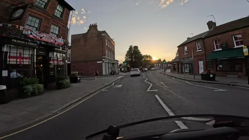
- Street-level photo, wasd42, CC BY-SA 4.0
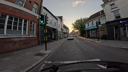
- Street-level photo, wasd42, CC BY-SA 4.0
- Street-level photo, wasd42, CC BY-SA 4.0
- Street-level photo, wasd42, CC BY-SA 4.0
- Street-level photo, wasd42, CC BY-SA 4.0
- Street-level photo, wasd42, CC BY-SA 4.0
- Street-level photo, wasd42, CC BY-SA 4.0
- Street-level photo, wasd42, CC BY-SA 4.0
- Street-level photo, wasd42, CC BY-SA 4.0
- Street-level photo, wasd42, CC BY-SA 4.0
- Street-level photo, wasd42, CC BY-SA 4.0
- Street-level photo, wasd42, CC BY-SA 4.0
- Street-level photo, wasd42, CC BY-SA 4.0
- Street-level photo, wasd42, CC BY-SA 4.0
- Street-level photo, wasd42, CC BY-SA 4.0
- Street-level photo, wasd42, CC BY-SA 4.0
- Street-level photo, alexkemp, CC BY-SA 4.0
- Street-level photo, wasd42, CC BY-SA 4.0
- Street-level photo, wasd42, CC BY-SA 4.0
- Street-level photo, wasd42, CC BY-SA 4.0
- Street-level photo, wasd42, CC BY-SA 4.0


Page built November 10, 2026. Spotted a mistake? Tell us or suggest a place.