


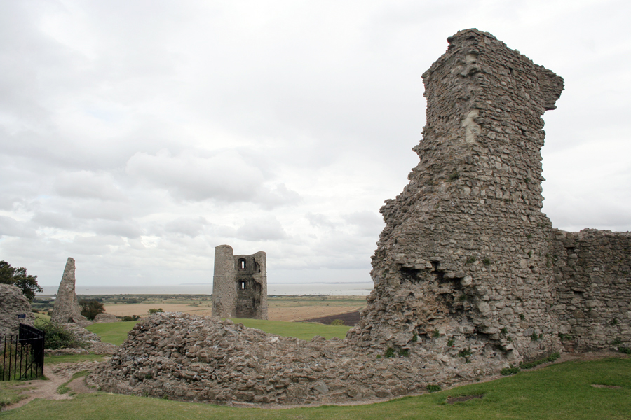


South Benfleet, United Kingdom
South Benfleet is a town of 48,824 people in England, United Kingdom.
Why visit South Benfleet
Townapedia lists 2 museums and landmarks, 21 parks and trails, 16 places to eat and 3 attractions in and around town.
Highlights include Rayleigh Town Museum, Canvey Wick and Hadleigh Farm.
Weather in South Benfleet
Forecast from MET Norway (CC BY 4.0). Full forecast
About South Benfleet
South Benfleet is a town in the Castle Point district of Essex, England, 30 miles east of London. It is adjacent to the village of North Benfleet. The Benfleet (SS7) post town includes South Benfleet, Thundersley, New Thundersley and Hadleigh. The Battle of Benfleet took place here between the Vikings and Saxons in 894.
From the Wikipedia article South Benfleet (this version), under CC BY-SA 4.0.
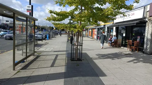
Photos of South Benfleet

Things to do3

Museums and landmarks2

Rayleigh Town Museum
Museum · 3.0 mi
Small local museum located in Rayleigh High Street

Parks, trails and playgrounds21


Little Haven Nature Reserve
Park · 2.4 mi
Essex Wildlife Trust Nature reserve
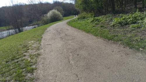




Great Wood and Dodd's Grove
Park · 2.8 mi
Essex Wildlife Trust Nature reserve
9 more on the map.
Restaurants and cafes16
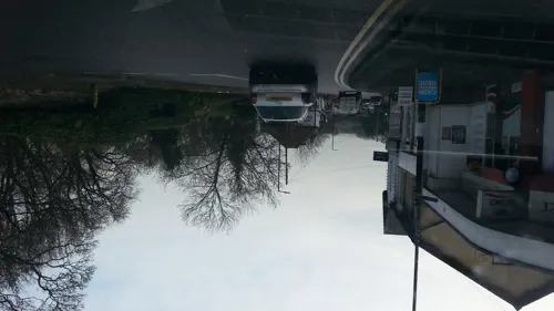
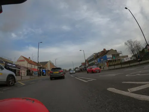
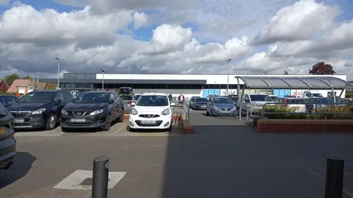
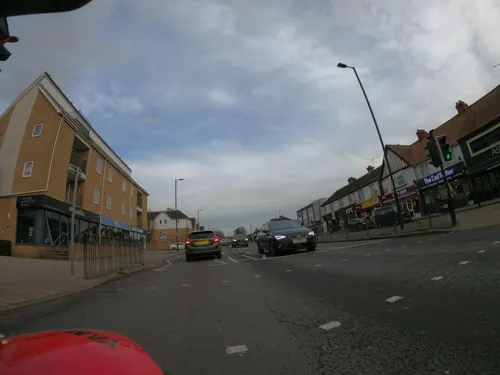
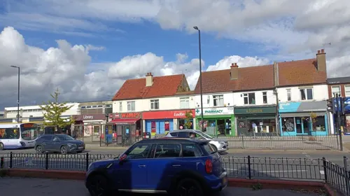
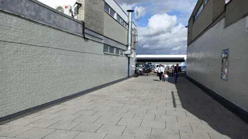
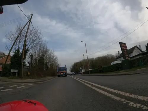
Wimpy
Fast food · Burger · 1.1 mi
129 London Road, Benfleet
Mo-Tu 10:00-20:00; We-Sa 10:00-21:00; Su 10:00-20:00

4 more on the map.
History
The name of the town originates from the time of the Saxon settlers in the 5th century, when the area was largely marshland. They named the area Beamfleote, meaning "tree fleet", being the area where the creeks from the River Thames adjoined the wooded area to the north. The current spelling was adopted at the time the railway service was brought to the area and a railway station built for the town. Throughout the intervening period various documented versions of the names has been 'Benfleota', 'Beamflet', 'Bemflet', 'Bienflet' and 'Bemfleet'. The last was used on John Norden's maps in the 17th century.
In Saxon times the village became known as South Benfleet when a new settlement, which became known as Little Benfleet, developed to the north of the original settlement. The new settlement did not last, and its site, which has since become known as North Benfleet, is now largely rural.
The railway was brought to the town in 1855. The new Benfleet railway station connected the town with Southend-on-Sea to the east and London Fenchurch Street station.
In July 2002, Castle Point District Council named a 6-mile cycle way, from near Benfleet railway station to near Leigh-on-Sea railway station, the "de Neumann Way" after Captain Peter de Neumann, GM.
From the History section of South Benfleet on Wikipedia, under CC BY-SA 4.0.
Notable people from South Benfleet
- Scott DanielsEnglish footballer (born 1969)
- Paul ClarkEnglish footballer and manager (born 1958)
- Jordan BrownEnglish association football player (born 1991)
- Ted SmithEnglish association football player (born 1996)
Born in South Benfleet, according to Wikidata (CC0). Each name links to its Wikipedia article.
Churches and places of worship9
St George, Benfleet New Thundersley
Church · Anglican · 1.3 mi
Rushbottom Lane, Benfleet
Shopping3
Gas and EV charging3
Schools, colleges and libraries15
Healthcare1
Map of South Benfleet
73 places. The map loads OpenStreetMap tiles when you open it.
Getting there and nearby towns
London Southend Airport (SEN) is the nearest airport with scheduled flights listed in OpenStreetMap, 6 miles away.
- Hadleigh 2 mi east, about 3 min by car
- Pitsea 2 mi west, about 4 min by car
- Rayleigh 3 mi northeast, about 5 min by car
- Wickford 4 mi north, about 7 min by car
- Basildon 5 mi west, about 7 min by car
- Stanford-le-Hope 6 mi west, about 9 min by car
- Southend-on-Sea 7 mi east, about 11 min by car
- Rochford 7 mi east, about 11 min by car
- Gillingham 11 mi south, about 18 min by car
- Tilbury 11 mi southwest, about 17 min by car
Drive times are estimates from straight-line distance, not routes.
Towns near South Benfleet


Keep exploring
Local news
Headlines from INDB.
Reviews, tips and questions
Loading what members have shared...
Sources and licences
- GeoNames (CC BY 4.0): population, coordinates, regions and time zone
- Mapillary (see each image): photos
- OpenStreetMap contributors (ODbL 1.0): places, airports, map data
- Wikidata (CC0 1.0): elevation, founding date, time zone, website, landmarks and historic places
- Wikimedia Commons (see each image): photos
- Wikipedia (CC BY-SA 4.0): overview and history text
Photo credits
- StMary'sChurchBenfleet SouthEast, JohnArmagh, Public domain
- Rayleigh Town Museum 190916, Terryjoyce, CC BY-SA 4.0
- Occidental jetty and reed beds at Canvey Wick, Oneblackline, CC BY-SA 3.0
- Hadleigh Castle curtain and east towers, Oneblackline, CC BY-SA 3.0
- Little Haven 3, Dudley Miles, CC BY-SA 4.0
- Pound Wood 2, Dudley Miles, CC BY-SA 4.0
- Tile Wood 11, Dudley Miles, CC BY-SA 4.0
- Thundersley, Essex - St.Peters Church, Lonpicman, CC BY-SA 3.0
- Stiff Saltmarsh Grass Puccinellia rupestris (6485862609), Len Worthington, CC BY-SA 2.0
- Street-level photo, adam2, CC BY-SA 4.0
- Street-level photo, kevinleake01, CC BY-SA 4.0
- Street-level photo, adam2, CC BY-SA 4.0
- Street-level photo, adam2, CC BY-SA 4.0
- Street-level photo, adam2, CC BY-SA 4.0
- Street-level photo, petermead, CC BY-SA 4.0
- Street-level photo, adam2, CC BY-SA 4.0
- Street-level photo, wasd42, CC BY-SA 4.0
- Street-level photo, wasd42, CC BY-SA 4.0
- Street-level photo, adam2, CC BY-SA 4.0
- Street-level photo, kevinleake01, CC BY-SA 4.0
- Street-level photo, kevinleake01, CC BY-SA 4.0
- Street-level photo, adam2, CC BY-SA 4.0
- Street-level photo, wasd42, CC BY-SA 4.0
- Street-level photo, kevinleake01, CC BY-SA 4.0
- Street-level photo, kevinleake01, CC BY-SA 4.0
- Street-level photo, kevinleake01, CC BY-SA 4.0
- Street-level photo, kevinleake01, CC BY-SA 4.0
- Street-level photo, adam2, CC BY-SA 4.0

Page built November 10, 2026. Spotted a mistake? Tell us or suggest a place.