


Stanbridge, United Kingdom
Stanbridge is a town of 1,044 people in England, United Kingdom.
Why visit Stanbridge
Townapedia lists 2 museums and landmarks, 6 parks and trails, 6 places to eat, 1 place to stay and 1 attraction in and around town.
Highlights include Totternhoe Roman villa, Mead Open Farm, Dropshort Marsh and Lancot Meadow.
Weather in Stanbridge
Forecast from MET Norway (CC BY 4.0). Full forecast
About Stanbridge
Stanbridge is a village and civil parish in Bedfordshire which lies 3 miles (5 km) east of Leighton Buzzard. It also borders the Bedfordshire villages of Hockliffe, Eggington, Tilsworth, Totternhoe and Billington.
From the Wikipedia article Stanbridge, Bedfordshire (this version), under CC BY-SA 4.0.
Things to do1

Museums and landmarks2

Totternhoe Roman villa
Monument and historic site · 2.7 mi
Roman villa in Bedfordshire, England

Parks, trails and playgrounds6


Totternhoe Knolls
Park · 1.6 mi
Site of Special Scientific Interest in Bedfordshire, England, UK

Totternhoe nature reserve
Park · 1.6 mi
Nature reserve in the United Kingdom

Restaurants and cafes6
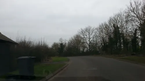
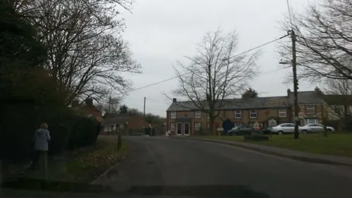
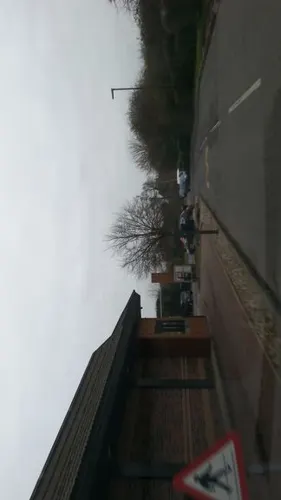

Leighton Buzzard Rugby Football Club
Bar and pub · 0.7 mi
Leighton Road, Leighton Buzzard

More about Stanbridge
Education
The education authority, for the Leighton Buzzard area, since September 2019, calculates distances from each residence to the nearest lower school (in most circumstances) and uses that to determine priority admissions; the education authority uses computer systems to do this. Designated catchment zones are, as of 2024, no longer used for lower schools in the Leighton Buzzard area. Stanbridge is among the areas under this admissions regime.
From the Wikipedia article Stanbridge, Bedfordshire, under CC BY-SA 4.0.
Where to stay1
Churches and places of worship12
Schools, colleges and libraries1
Map of Stanbridge
29 places. The map loads OpenStreetMap tiles when you open it.
Getting there and nearby towns
London Luton Airport (LTN) is the nearest airport with scheduled flights listed in OpenStreetMap, 10 miles away.
- Leighton Buzzard 3 mi west, about 4 min by car
- Dunstable 4 mi southeast, about 6 min by car
- Luton 8 mi east, about 13 min by car
- Bletchley 8 mi northwest, about 13 min by car
- Flitwick 8 mi northeast, about 13 min by car
- Tring 8 mi south, about 13 min by car
- Ampthill 9 mi northeast, about 15 min by car
- Berkhamsted 10 mi south, about 17 min by car
- Milton Keynes 11 mi northwest, about 18 min by car
- Aylesbury 11 mi southwest, about 18 min by car
Drive times are estimates from straight-line distance, not routes.
Towns near Stanbridge


Keep exploring
Local news
Headlines from INDB.
Reviews, tips and questions
Loading what members have shared...
Sources and licences
- GeoNames (CC BY 4.0): population, coordinates, regions and time zone
- Mapillary (see each image): photos
- OpenStreetMap contributors (ODbL 1.0): places, airports, map data
- Wikidata (CC0 1.0): elevation, founding date, time zone, website, landmarks and historic places
- Wikimedia Commons (see each image): photos
- Wikipedia (CC BY-SA 4.0): overview and history text
Photo credits
- Dropshort Marsh 7, Dudley Miles, CC BY-SA 4.0
- Lancot Meadow 8, Dudley Miles, CC BY-SA 4.0
- Sewell Cutting 4, Dudley Miles, CC BY-SA 4.0
- Totternhoe Knolls 5, Dudley Miles, CC BY-SA 4.0
- Totternhoe Chalk Quarry 5, Dudley Miles, CC BY-SA 4.0
- Site of Totternhoe Roman Villa, Dudley Miles, CC BY-SA 4.0
- Street-level photo, adam2, CC BY-SA 4.0
- Street-level photo, adam2, CC BY-SA 4.0
- Street-level photo, adam2, CC BY-SA 4.0
- Street-level photo, adam2, CC BY-SA 4.0
- Street-level photo, adam2, CC BY-SA 4.0
- Street-level photo, adam2, CC BY-SA 4.0
- Street-level photo, southglos, CC BY-SA 4.0
- Street-level photo, southglos, CC BY-SA 4.0
Page built November 10, 2026. Spotted a mistake? Tell us or suggest a place.