


Steeple Claydon, United Kingdom
Steeple Claydon is a town of 2,114 people in England, United Kingdom.
Why visit Steeple Claydon
Townapedia lists 1 museum or landmark, 3 parks and trails, 5 places to eat and 1 place to stay in and around town.
Highlights include Claydon House and Calvert Jubilee.
Weather in Steeple Claydon
Forecast from MET Norway (CC BY 4.0). Full forecast
About Steeple Claydon
Steeple Claydon is a village and civil parish in the Buckinghamshire district of the ceremonial county of Buckinghamshire, England. The village is about 4 miles (6.4 km) south of Buckingham, 4.5 miles (7 km) west of Winslow and 7 miles (11 km) northwest of Waddesdon. The 2011 Census recorded the parish population as 2,278.
From the Wikipedia article Steeple Claydon (this version), under CC BY-SA 4.0.
Museums and landmarks1

Claydon House
Museum · 1.5 mi
Grade I listed historic house museum in Aylesbury Vale, United Kingdom
Parks, trails and playgrounds3

Calvert Jubilee
Park · 1.5 mi
Nature reserve in Buckinghamshire, England

Restaurants and cafes5
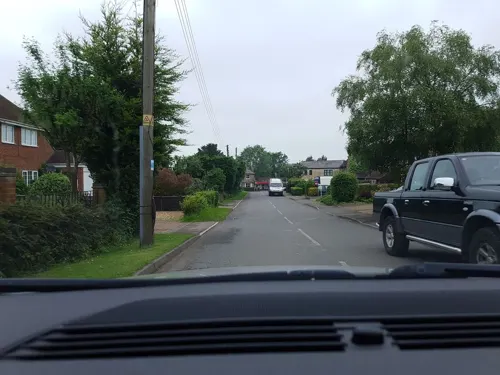
Coo Coo's
Cafe
16 Addison Road, Steeple Claydon
Mo-Su 10:00-16:00
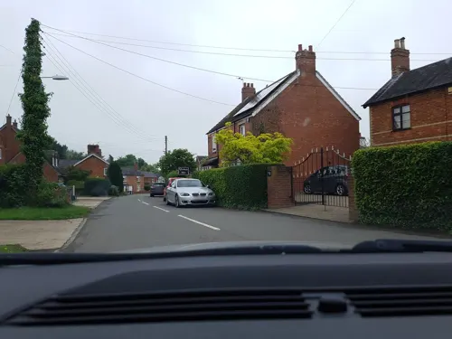
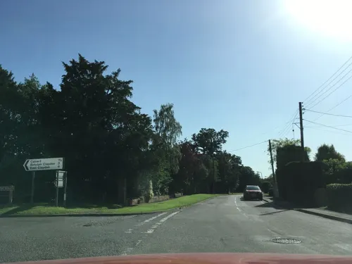
Molly's Community Cafe
Cafe · Sandwich, Cake, Coffee
44 West Street
Mo-Su 09:30-15:00; PH closed
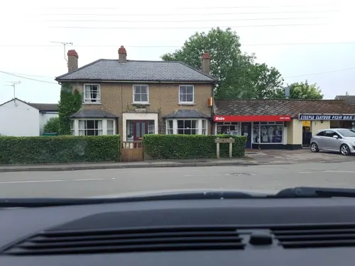
Steeple Claydon Fish Bar
Fast food · Fish And Chips
44 West Street
Tu-Sa 18:30-21:30; Fr-Sa 11:45-13:45; PH closed
Where to stay1

History
The toponym "Claydon" is derived from the Old English for "clay hill". The Domesday Book of 1086 records the area (including nearby Botolph Claydon, East Claydon and Middle Claydon) as Claindone. The affix "steeple" refers to the steeple of the Church of England parish church, which is prominent in the village. The manor of Steeple Claydon was once a royal possession. It was given as a wedding gift to Robert D'Oyly by King Henry I because D'Oyly was marrying one of the king's former mistresses. Later, after changing hands several times it came into the possession of King Edward IV when his grandfather the Earl of March left it to him. The manor house has since been pulled down. Thomas Chaloner, a regicide, had a school built in the village in 1656. This site was later made into the public library.
From the History section of Steeple Claydon on Wikipedia, under CC BY-SA 4.0.
Churches and places of worship4
Schools, colleges and libraries1
Map of Steeple Claydon
15 places. The map loads OpenStreetMap tiles when you open it.
Getting there and nearby towns
Oxford Airport (OXF) is the nearest airport with scheduled flights listed in OpenStreetMap, 16 miles away.
- Buckingham 4 mi north, about 7 min by car
- Tingewick 5 mi northwest, about 7 min by car
- Waddesdon 7 mi southeast, about 11 min by car
- Ambrosden 7 mi southwest, about 12 min by car
- Bicester 8 mi west, about 12 min by car
- Brill 9 mi south, about 14 min by car
- Brackley 10 mi northwest, about 16 min by car
- Aylesbury 11 mi southeast, about 18 min by car
- Bletchley 11 mi east, about 18 min by car
- Milton Keynes 12 mi northeast, about 19 min by car
Drive times are estimates from straight-line distance, not routes.
Towns near Steeple Claydon


Keep exploring
Local news
Headlines from INDB.
Reviews, tips and questions
Loading what members have shared...
Sources and licences
- GeoNames (CC BY 4.0): population, coordinates, regions and time zone
- Mapillary (see each image): photos
- OpenStreetMap contributors (ODbL 1.0): places, airports, map data
- Wikidata (CC0 1.0): elevation, founding date, time zone, website, landmarks and historic places
- Wikimedia Commons (see each image): photos
- Wikipedia (CC BY-SA 4.0): overview and history text
Photo credits
- All Saints' Church, Hillesden 01, Andrewrabbott, CC BY-SA 4.0
- Beautiful Mantel Carving at Claydon House - panoramio, Adrian Farwell, CC BY 3.0
- Street-level photo, timbucks, CC BY-SA 4.0
- Street-level photo, timbucks, CC BY-SA 4.0
- Street-level photo, timbucks, CC BY-SA 4.0
- Street-level photo, southglos, CC BY-SA 4.0
- Street-level photo, southglos, CC BY-SA 4.0
Page built November 10, 2026. Spotted a mistake? Tell us or suggest a place.