
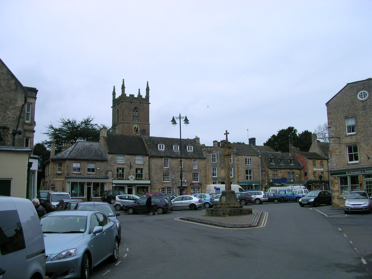


Stow on the Wold, United Kingdom
Stow on the Wold is a town of 2,042 people in England, United Kingdom.
Why visit Stow on the Wold
Townapedia lists 7 museums and landmarks, 33 places to eat and 7 places to stay in and around town.
Highlights include Lower Swell War Memorial and Market Cross.
Weather in Stow on the Wold
Forecast from MET Norway (CC BY 4.0). Full forecast
About Stow on the Wold
Stow-on-the-Wold is a market town and civil parish in Gloucestershire, England, on top of an 800-foot (244 m) hill at the junction of main roads through the Cotswolds, including the Fosse Way (A429), which is of Roman origin. The town was founded by Norman lords to absorb trade from the roads converging there. Fairs have been held by royal charter since 1330; a horse fair is still held on the edge of town nearest to Oddington in May and October each year.
From the Wikipedia article Stow-on-the-Wold (this version), under CC BY-SA 4.0.
Travel tips from other travellers: Stow on the Wold on Wikivoyage (CC BY-SA 4.0).
Photos of Stow on the Wold


Museums and landmarks7
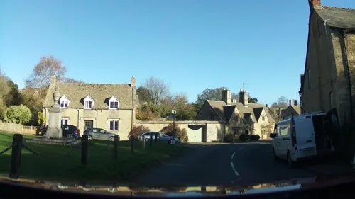
Lower Swell War Memorial
Monument and historic site · 1.1 mi
War memorial in Swell, Gloucestershire, England, UK




Restaurants and cafes33
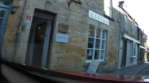
The Old Bakery Tea Room
Cafe
4 Fountain Court, Cheltenham
Mo-We,Fr 10:30-16:00; Sa 10:30-17:00; Th,Su off

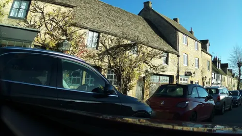
Prince of India
Restaurant · Curry
5 Park Street, Cheltenham
Su-Th 18:00-23:00; Fr 17:30-23:30; Sa 17:30-23:30
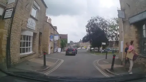


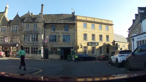



21 more on the map.
Where to stay7


Churches and places of worship13
Church of St Mary, Swell
Church · 1.1 mi
Church in Swell Cotswold District Gloucestershire, England, UK

St Edward's Church
Church
Church in Stow-on-the-Wold, Cotswold, Gloucestershire, England, UK

Church of St Mary
Church · 2.4 mi
Church in Icomb Gloucestershire, England, UK
Church of St Peter
Church · 3.2 mi
Church in Daylesford, Gloucestershire, England, UK
St James' Church, Longborough
Church · 2.6 mi
Church in Longborough, Gloucestershire, England, UK
1 more on the map.
History
Stow-on-the-Wold, originally called Stow St Edward or Edwardstow after the town's patron saint Edward, probably Edward the Martyr, is said to have originated as an Iron Age fort on this defensive position on a hill. There are other sites of similar forts in the area, and Stone Age and Bronze Age burial mounds are common throughout the area. It is likely that Maugersbury was the primary settlement of the parish before Stow was built as a marketplace on the hilltop nearer to the crossroads, to take advantage of passing trade. The name Stow derives from the Old English stōw meaning 'place'. Originally the small settlement was controlled by abbots from the local abbey, and when the first weekly market was set up in 1107 by Henry I, he decreed that the proceeds go to Evesham Abbey.
In 1330, a royal charter by Edward III set up an annual 7-day market to be held in August. The royal charter granted a fair where sheep and horses were allowed to be sold. In 1476, Edward IV replaced that with two 5-day fairs, two days before and two days after the feast of St Philip and St James in May, and similarly in October on the feast of Edward the Confessor (the saint associated with the town). The aim of the annual charter fairs was to establish Stow as a place to trade and alleviate the unpredictability of the passing trade. These fairs were located in the square, which is still the town centre.
Read more of the history
Stow played a role in the English Civil War. A number of engagements took place in the area, the local church of St Edward being damaged in one skirmish. On 21 March 1646, the Royalists, commanded by Sir Jacob Astley, were defeated at the Battle of Stow-on-the-Wold, with hundreds of prisoners being confined for some time in St Edwards. This battle took place one mile north of Stow-on-the-Wold. After initial royalist success, the superiority of the parliamentary forces overwhelmed and routed the royalist forces. Fleeing the field, the royalists fought a running fight back into the streets of Stow, where the final action took place, culminating in surrender in the market square.
As the fairs grew in fame and importance, so did the town. Traders dealing in livestock added many handmade goods, and the wool trade was always prominent. Daniel Defoe reported in the 18th century that 20,000 sheep were sold in one day. Many alleys known as 'tures' that run between buildings into the market square were used in herding sheep to be sold. From the mid-19th century, the Talbot Hotel was the venue for corn merchants carrying out their trade. Most of the buildings around the market square date from the 18th to 19th century including St Edward's Hall (the present-day library).
From the History section of Stow-on-the-Wold on Wikipedia, under CC BY-SA 4.0.
Notable people from Stow on the Wold
- Frederic BartlettBritish psychologist and academic (1886–1969)
- John HowmanEnglish cricketer (1895-1958)
- George Pepallcricketer (1876-1953)
- Kieran ShoemarkEnglish flat racing jockey
Born in Stow on the Wold, according to Wikidata (CC0). Each name links to its Wikipedia article.
Shopping28
Gas and EV charging1
Schools, colleges and libraries2
Healthcare2
Map of Stow on the Wold
93 places. The map loads OpenStreetMap tiles when you open it.
Getting there and nearby towns
RAF Brize Norton (BZZ) is the nearest airport with scheduled flights listed in OpenStreetMap, 14 miles away.
- Blockley 6 mi north, about 10 min by car
- Northleach 8 mi southwest, about 14 min by car
- Burford 9 mi southeast, about 15 min by car
- Lower Brailes 11 mi northeast, about 18 min by car
- Minster Lovell 12 mi southeast, about 19 min by car
- Carterton 13 mi southeast, about 21 min by car
- Witney 14 mi southeast, about 23 min by car
- Charlton Kings 14 mi west, about 22 min by car
- Cheltenham 15 mi west, about 25 min by car
- Evesham 15 mi northwest, about 24 min by car
Drive times are estimates from straight-line distance, not routes.
Towns near Stow on the Wold


Keep exploring
Local news
Headlines from INDB.
Reviews, tips and questions
Loading what members have shared...
Sources and licences
- GeoNames (CC BY 4.0): population, coordinates, regions and time zone
- Mapillary (see each image): photos
- OpenStreetMap contributors (ODbL 1.0): places, airports, map data
- Wikidata (CC0 1.0): elevation, founding date, time zone, website, landmarks and historic places
- Wikimedia Commons (see each image): photos
- Wikipedia (CC BY-SA 4.0): overview and history text
Photo credits
- Stow-on-the-Wold, Charlesdrakew, Public domain
- Stow on the Wold church 02, Rodw, CC BY-SA 4.0
- Stow on the Wold church 01, Rodw, CC BY-SA 4.0
- Church and churchyard, Rebecca C., CC BY 2.0
- The King's Arms Hotel, Stow-on-the-Wold, Trogaus, CC BY-SA 4.0
- Stow-on-the-Wold, The Square, The Cross Cotswold 1088780 20230819 0194, Tilman2007, CC BY-SA 4.0
- Stow-on-the-Wold, The Square, St Edward's House Cotswold 1088782 20230819 0208, Tilman2007, CC BY-SA 4.0
- Stow-on-the-Wold, Grey House Cotswold 1088793 20230819 0177, Tilman2007, CC BY-SA 4.0
- The Talbot Pub, Stow-on-the-Wold, Jim Linwood, CC BY 2.0
- Tudor House, Rodw, CC BY-SA 4.0
- White Cottage Stow on the Wold, Rodw, CC BY-SA 4.0
- Stow Lodge Hotel, T Arrow, CC BY-SA 3.0
- Trees at church door, St. Edward's church, Stow-on-the-Wold 2019-06-09, August Schwerdfeger, CC BY 4.0
- Trees at church door, St. Edward's church, Stow-on-the-Wold 2019-06-09 (cropped), August Schwerdfeger, CC BY 4.0
- Queen Elizabeth II post boxes in England 02, Dickelbers, CC BY-SA 4.0
- Yew trees at St Edward's Church, GZagatta, CC BY-SA 4.0
- Cultural amalgamation and the history, SuryaUK, CC BY-SA 4.0
- Historic gate and me, SuryaUK, CC BY-SA 4.0
- Doors of Durin, MorganMilesi, CC BY-SA 4.0
- Memorial plaque on the wall of St Edward's Church in Stow-on-the-Wold, Ethan Doyle White, CC BY-SA 4.0
- Pair Of Bale Tombs Immediately North West Of Church, T Arrow, CC BY-SA 3.0
- Pair Of Table Tombs 15 Yards North West Of Church, T Arrow, CC BY-SA 3.0
- St Edward's Hall 01, Rodw, CC BY-SA 4.0
- Talbot Ture and the Monarch's Way 20220601 140006, Dcs57, CC BY-SA 4.0
- Sheep Street facing east, Stow-on-the-Wold, Ethan Doyle White, CC BY-SA 4.0
- Street-level photo, southglos, CC BY-SA 4.0
- Street-level photo, southglos, CC BY-SA 4.0
- Street-level photo, richardc, CC BY-SA 4.0
- Street-level photo, southglos, CC BY-SA 4.0
- Street-level photo, trigpoint, CC BY-SA 4.0
- Street-level photo, trigpoint, CC BY-SA 4.0
- Street-level photo, southglos, CC BY-SA 4.0
- Street-level photo, trigpoint, CC BY-SA 4.0
- Street-level photo, southglos, CC BY-SA 4.0
- Street-level photo, southglos, CC BY-SA 4.0
- Street-level photo, trigpoint, CC BY-SA 4.0
- Street-level photo, southglos, CC BY-SA 4.0
- Street-level photo, southglos, CC BY-SA 4.0
- Street-level photo, southglos, CC BY-SA 4.0
- Street-level photo, southglos, CC BY-SA 4.0
- Street-level photo, southglos, CC BY-SA 4.0
- Street-level photo, laye, CC BY-SA 4.0
- Street-level photo, southglos, CC BY-SA 4.0
- Street-level photo, southglos, CC BY-SA 4.0
- Street-level photo, trigpoint, CC BY-SA 4.0
- Street-level photo, trigpoint, CC BY-SA 4.0
- Street-level photo, laye, CC BY-SA 4.0


Page built November 10, 2026. Spotted a mistake? Tell us or suggest a place.