


Charlton Kings, United Kingdom
Charlton Kings is a town of 11,700 people in England, United Kingdom.
Why visit Charlton Kings
Townapedia lists 25 museums and landmarks, 22 parks and trails, 56 places to eat, 7 places to stay and 5 attractions in and around town.
Highlights include Everyman Theatre, The Playhouse, The Wilson and Malvern Inn.
Weather in Charlton Kings
Forecast from MET Norway (CC BY 4.0). Full forecast
About Charlton Kings
Charlton Kings is a contiguous village adjoining Cheltenham in Gloucestershire, England. The area constitutes a civil parish of 10,396 residents (2011).
From the Wikipedia article Charlton Kings (this version), under CC BY-SA 4.0.
Photos of Charlton Kings

Things to do5

Everyman Theatre
Cinema and theater · 1.8 mi
Theatre in Cheltenham, England

The Playhouse
Cinema and theater · 1.6 mi
Theatre in Cheltenham, England

Bacon Theatre
Cinema and theater · 2.8 mi
Theatre on the site of Dean Close School, Cheltenham, England


Museums and landmarks25


Whish Fountain
Monument and historic site · 1.3 mi
Donated by the Whish sisters in 1891. Carved by A.B. Wall. Originally sited at Westall Green, moved to Sandford Park in 1929.

British Steeplechasing Hall of Fame
Museum · 2.6 mi
Museum in Gloucestershire

Hewlett's Camp
Monument and historic site · 0.9 mi
Reputedly Iron Age camp, without archaeological evidence
Old College Baths
Monument and historic site · 1.2 mi
Former Cheltenham College swimming baths
College Baths Road, Cheltenham
Drinking Fountain at Cirencester Road Junction
Monument and historic site · 0.9 mi
Victorian drinking fountain circa 1870, featuring 'Christ with the woman at the well' and inscriptions promoting public care
Stocks and Whipping Post
Monument and historic site · 0.4 mi
Stocks and whipping post
13 more on the map.
Parks, trails and playgrounds22

The Park, University of Gloucestershire
Park · 2.0 mi
Park in United Kingdom



10 more on the map.
Restaurants and cafes56
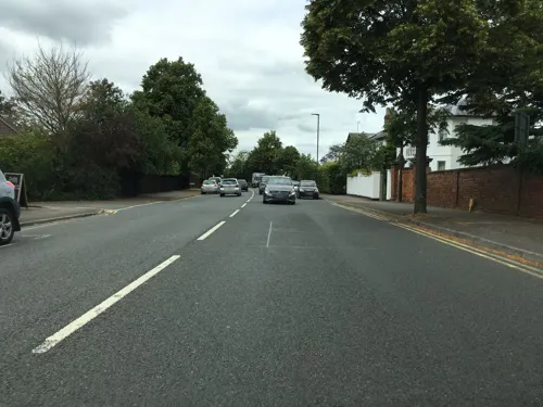
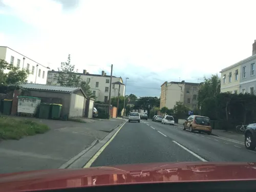
Eurasia
Restaurant · Indian · 1.5 mi
18 Hewlett Road, Cheltenham
Mo-Th,Sa,Su 12:00-14:00,17:30-23:30; Fr 17:30-23:30
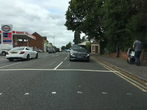
Sixways Spice
Restaurant · Indian, Bangladeshi · 0.5 mi
237 London Road, Cheltenham
Mo-Su 17:30-23:00; Tu off
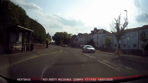
Cotswold Vegan Bakery
Cafe · Cake · 1.2 mi
88 London Road
Mo-We,Su off; Th-Fr 10:00-16:00; Sa 10:00-13:00

Sandford Park Ale House
Bar and pub · 1.5 mi
20 High Street
12:00 - 24:00
Poco Culina @ Planted
Cafe · Plant Based · 0.6 mi
Deepspaceworks Community Hub and Cafe
197 London Road, Cheltenham
Roasted Cafe
Cafe · 0.6 mi
215 London Road, Cheltenham
Mo-We 08:30-17:00; Th 08:30-21:00; Fr-Sa 09:00-17:00



44 more on the map.
History
The place name comes from Anglo-Saxon times, the word "Charlton" evolved from the term ceorls' tun, a ceorl latterly rendered churl being the Saxon term for an independent peasant landowner and -tun (latterly rendered -ton) meaning an enclosure with a dwelling. This example was established as part of the royal manor and Hundred of Cheltenham, hence the term "Kings" in the name.
Read more of the history
Evidence of settlement in Charlton Kings as early as the middle Iron Age was found underneath a Roman villa discovered in 1980. There are many other Roman settlements close by such as Chedworth, Whittington and notably a field called Wycomb (formerly Wickham), and the area of Charlton Kings is well suited to settlement due to the well-drained sand-and-gravel composition of the soil making early settlement much more likely. Much of early Charlton Kings was used for agriculture, tended to by small homesteads. This is evidenced by place names surviving until today. These small homesteads gave way to larger manor houses, for example, Charlton House which is now the headquarters of the engineering company Spirax Sarco and the Cheltenham Park Hotel which was previously called Lilleybrook House. There is evidence in local place names of the crops previously grown in Charlton Kings, such as Hempcroft (hemp), Flaxley (flax) and Crab End (crab apples). Other crops known to be grown in the area were cherries and grapes.
From the History section of Charlton Kings on Wikipedia, under CC BY-SA 4.0.
Where to stay7
Churches and places of worship22
Shopping8
Gas and EV charging2
Schools, colleges and libraries16
Holy Apostles' Church of England Primary School
School · Anglican · 1.1 mi
Battledown Approach, Cheltenham
Healthcare18
Map of Charlton Kings
181 places. The map loads OpenStreetMap tiles when you open it.
Getting there and nearby towns
Gloucestershire Airport (GLO) is the nearest airport with scheduled flights listed in OpenStreetMap, 6 miles away.
- Cheltenham 2 mi northwest, about 3 min by car
- Churchdown 5 mi west, about 9 min by car
- Gloucester 9 mi west, about 14 min by car
- Tewkesbury 9 mi northwest, about 15 min by car
- Cirencester 12 mi south, about 19 min by car
- Evesham 15 mi north, about 24 min by car
- Dursley 19 mi southwest, about 31 min by car
- Cinderford 20 mi west, about 32 min by car
- Worcester 22 mi north, about 36 min by car
- Swindon 25 mi southeast, about 40 min by car
Drive times are estimates from straight-line distance, not routes.
Towns near Charlton Kings


Keep exploring
Local news
Headlines from INDB.
Reviews, tips and questions
Loading what members have shared...
Sources and licences
- GeoNames (CC BY 4.0): population, coordinates, regions and time zone
- Mapillary (see each image): photos
- OpenStreetMap contributors (ODbL 1.0): places, airports, map data
- Wikidata (CC0 1.0): elevation, founding date, time zone, website, landmarks and historic places
- Wikimedia Commons (see each image): photos
- Wikipedia (CC BY-SA 4.0): overview and history text
Photo credits
- Cheltenham Art Gallery & Museum on 21 March 2009, Elliott Brown from Birmingham, United Kingdom, CC BY 2.0
- Orobanche hederae1, No machine-readable author provided. Aroche assumed (based on copyright claims)., CC BY 2.5
- All Saints Church, Cheltenham, P L Chadwick, CC BY-SA 2.0
- Cheltenham Minster 04, Simon Burchell, CC BY-SA 4.0
- StMarysChurchsouth, griffp, CC BY-SA 3.0
- Church of St Peter Leckhampton, Robin Poitou, CC BY-SA 3.0
- Cheltenham General Hospital, David Hawgood, CC BY-SA 2.0
- St. Edward's School, Janpakula, CC BY-SA 3.0
- Sandford Park Alehouse, Cheltenham, Reading Tom from Reading, UK, CC BY 2.0
- St Luke's (43671794022), Reading Tom from Reading, UK, CC BY 2.0
- Cheltenham College Chapel and library, Prioryman, CC BY-SA 3.0
- Devils.chimney.at.leckhampton.arp, Unknown author, Public domain
- Everyman Theatre, Cheltenham - panoramio, N19±, CC BY-SA 3.0
- Cheltenham Playhouse (43671951182), Reading Tom from Reading, UK, CC BY 2.0
- Whish Fountain Sandford Park Cheltenham 2, Samon53, CC BY-SA 4.0
- Street-level photo, southglos, CC BY-SA 4.0
- Street-level photo, swinetown, CC BY-SA 4.0
- Street-level photo, southglos, CC BY-SA 4.0
- Street-level photo, OrangeHurst97, CC BY-SA 4.0
- Street-level photo, southglos, CC BY-SA 4.0
- Street-level photo, OrangeHurst97, CC BY-SA 4.0
- Street-level photo, southglos, CC BY-SA 4.0
- Street-level photo, chris_debian, CC BY-SA 4.0
- Street-level photo, OrangeHurst97, CC BY-SA 4.0
- Street-level photo, southglos, CC BY-SA 4.0
- Street-level photo, southglos, CC BY-SA 4.0
- Street-level photo, southglos, CC BY-SA 4.0
- Street-level photo, southglos, CC BY-SA 4.0
- Street-level photo, dllewellyn, CC BY-SA 4.0
- Street-level photo, southglos, CC BY-SA 4.0
- Street-level photo, OrangeHurst97, CC BY-SA 4.0
- Street-level photo, OrangeHurst97, CC BY-SA 4.0
- Street-level photo, jacobgriff6, CC BY-SA 4.0


Page built November 10, 2026. Spotted a mistake? Tell us or suggest a place.