


Strathaven, United Kingdom
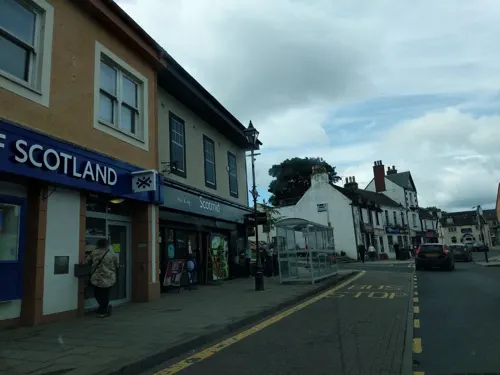
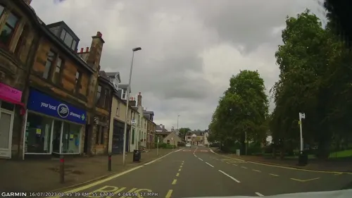
Strathaven is a town of 7,480 people in Scotland, United Kingdom.
Why visit Strathaven
Townapedia lists 8 museums and landmarks, 6 parks and trails, 8 places to eat, 1 place to stay and 1 attraction in and around town.
Highlights include Spectacle E'e Falls, Strathaven Castle and Strathaven Golf Club.
Weather in Strathaven
Forecast from MET Norway (CC BY 4.0). Full forecast
About Strathaven
Strathaven ( STRAY-ven; from Scottish Gaelic: Srath Aibhne [s̪t̪ɾah ˈajnə]) is a historic market town in South Lanarkshire, Scotland and is the largest settlement in Avondale. It is 7.5 kilometres (4+3⁄4 miles) south of Hamilton. The Powmillon Burn runs through the town centre, and joins the Avon Water to the east of the town.
From the Wikipedia article Strathaven (this version), under CC BY-SA 4.0.
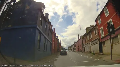
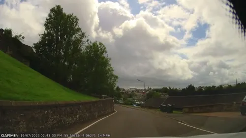
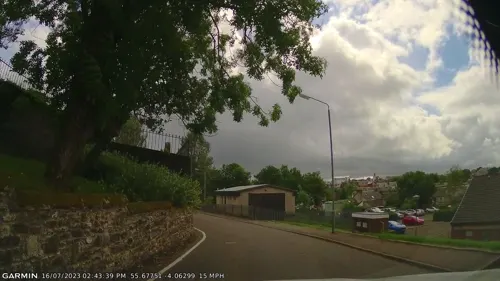
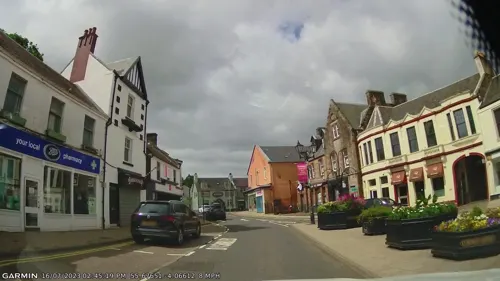
Photos of Strathaven


Things to do1

Spectacle E'e Falls
Waterfall · 1.2 mi
Waterfall in South Lanarkshire, Scotland, UK
Museums and landmarks8

Strathaven Castle
Monument and historic site
Part of the ruins of Strathaven castle

Parks, trails and playgrounds6


Restaurants and cafes8

The Crib Community Coffee House
Cafe · Coffee Shop, Sandwich
2-4 Thomson Street, Strathaven
History
A Roman road passes close by, on the south side of the Avon Water; it led to the Roman fort at Loudoun Hill near Darvel. The origins of Strathaven Castle are obscure, but it is believed to have been held by the Bairds until after the end of the Wars of Scottish Independence in 1357. It then passed to William Douglas, 1st Earl of Douglas in 1370.
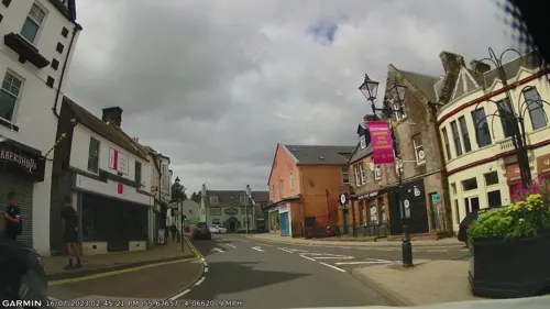
The settlement within the lands of Strathaven became a burgh of barony in 1450. The centre of the town is occupied by the market square, formerly a grassed common, and still known as Common Green, or just 'The Green'. Linking the town and the castle is the old 'Boo Backit Brig' ('bow-backed bridge'), a small arched bridge.
The Old Parish Church, with its landmark spire, was built in 1772, and was the place of worship of the Dukes of Hamilton, who had a section of the church reserved for them.
The town played a significant part in the Radical War of 1820, when James Wilson led a band of radicals on a march to Glasgow, to join a rumoured general uprising, which never actually happened. Wilson was hanged for treason.
Its most famous 'modern' resident was the singer, Sir Harry Lauder (1870–1950) whose mansion, Lauder Ha', or Hall, remains in the town's Lethame neighbourhood, the estate's entrance leading from the road to Kilmarnock. Sir Harry spent the Second World War years there, and died in February 1950.
Read more of the history
Dungavel House on the outskirts of Strathaven was the place where German Deputy Führer, Rudolf Hess, originally intended to land on the evening of 10 May 1941 in a misguided attempt to seek peace talks with the Duke of Hamilton. However bad weather and poor navigation resulted in Hess having to land at Floors Farm in Eaglesham.
In 2002, Strathaven was granted the title of Scotland's First Fairtrade Town (jointly with Aberfeldy) under the leadership of Paulo Quadros, chair of the first Fairtrade group in Scotland.
From the History section of Strathaven on Wikipedia, under CC BY-SA 4.0.
More about Strathaven
Arts and culture
Strathaven Hotel houses a small seated venue holding acoustic music gigs under the title FRETS. Artists performing have included Arab Strap, Norman Blake and Euros Childs, Lloyd Cole, Altered Images, Robyn Hitchcock and Michael Head.
The town is host to Scotland's only hot air balloon festival. Held each August since 1999, the event attracts pilots and enthusiasts from across Europe.
In the Third Statistical Account of Scotland, County of Lanark, the Reverend C. Arthur Robertson, writing in 1953, quotes from the diary of a John McGowan, a native Strathavonian himself writing in Minnesota, U.S.A. c.1810 wherein is described some of Strathaven's folkloric history, "A small natural rock situated about a mile south of the town of Strathaven on the north bank of the River Avon in the parish of Avondale. Its curious form and romantic situation - with surrounding rocks rising abruptly and forming an amphitheatre about forty yards distant from it - give it the air of something grand and majestic. This little hill is covered with a slight coat of earth and planted with a few scotch firs, and the surrounding rocks are also covered with trees, forming a square on the north-east side of the Dabbie Dancie.
Education
There are seven primary schools in and around Strathaven: Chapelton Primary School, Gilmourton Primary School, Glassford Primary School, Kirklandpark Primary School, Sandford Primary School, St Patrick's Primary School and Wester Overton Primary School
From the Wikipedia article Strathaven, under CC BY-SA 4.0.
Notable people from Strathaven
 James FowlerAustralian politician (1863–1940)Photo: Swiss Studios, Public domain
 Coutts CrawfordNew Zealand naval officer, farmer, scientist, explorer and public servant (1817-1889)Photo: Photographer unidentified, Public domain
- Barry LeitchScottish video game music composer
- Sara VickersBritish actress
- Mary Nimmo MoranAmerican landscape printmaker (1842–1899)
- Thomas LeiperAmerican businessman
- Jock ArchibaldFootballer (1895-1967)
- Bobby ArchibaldScottish footballer (1894-1966)
- Tom JenningsScottish footballer and manager (1902-1973)
- Una McLeanBritish actress
- William AllanScottish association football player
- Peter SomersScottish footballer (1878-1914)
Born in Strathaven, according to Wikidata (CC0). Each name links to its Wikipedia article.
Where to stay1
Churches and places of worship6
Shopping3
Gas and EV charging1
Schools, colleges and libraries5
Healthcare1
Map of Strathaven
40 places. The map loads OpenStreetMap tiles when you open it.
Getting there and nearby towns
Glasgow Airport (GLA) is the nearest airport with scheduled flights listed in OpenStreetMap, 20 miles away.
- Meikle Earnock 5 mi north, about 8 min by car
- Larkhall 6 mi northeast, about 9 min by car
- Hamilton 6 mi north, about 10 min by car
- East Kilbride 7 mi northwest, about 12 min by car
- Ashgill 7 mi northeast, about 10 min by car
- Motherwell 8 mi north, about 13 min by car
- Blantyre 8 mi north, about 13 min by car
- Wishaw 9 mi northeast, about 14 min by car
- Cambuslang 10 mi north, about 16 min by car
- Bellshill 10 mi north, about 16 min by car
Drive times are estimates from straight-line distance, not routes.
Towns near Strathaven


Keep exploring
Local news
Headlines from INDB.
Reviews, tips and questions
Loading what members have shared...
Sources and licences
- GeoNames (CC BY 4.0): population, coordinates, regions and time zone
- Mapillary (see each image): photos
- OpenStreetMap contributors (ODbL 1.0): places, airports, map data
- Wikidata (CC0 1.0): elevation, founding date, time zone, website, landmarks and historic places
- Wikimedia Commons (see each image): photos
- Wikipedia (CC BY-SA 4.0): overview and history text
Photo credits
- 05699 Rankin Church of Scotland, Strathaven 005, WeeHolly, CC BY-SA 4.0
- 05699 Rankin Church of Scotland, Strathaven 006, WeeHolly, CC BY-SA 4.0
- 05699 Rankin Church of Scotland, Strathaven 008, WeeHolly, CC BY-SA 4.0
- 05699 Rankin Church of Scotland, Strathaven 007, WeeHolly, CC BY-SA 4.0
- 05699 Rankin Church of Scotland, Strathaven 001, WeeHolly, CC BY-SA 4.0
- 05699 Rankin Church of Scotland, Strathaven 003, WeeHolly, CC BY-SA 4.0
- 05699 Rankin Church of Scotland, Strathaven 009, WeeHolly, CC BY-SA 4.0
- 05699 Rankin Church of Scotland, Strathaven 004, WeeHolly, CC BY-SA 4.0
- 05699 Rankin Church of Scotland, Strathaven 010, WeeHolly, CC BY-SA 4.0
- 05699 Rankin Church of Scotland, Strathaven 012, WeeHolly, CC BY-SA 4.0
- 05699 Rankin Church of Scotland, Strathaven 002, WeeHolly, CC BY-SA 4.0
- 05699 Rankin Church of Scotland, Strathaven 011, WeeHolly, CC BY-SA 4.0
- Spectacle E'e Falls, South Lanarkshire, MPerkowski, CC BY-SA 4.0
- StrathavenCastle, No machine-readable author provided. Supergolden assumed (based on copyright claims)., CC BY-SA 3.0
- Street-level photo, gmc, CC BY-SA 4.0
- Street-level photo, gmc, CC BY-SA 4.0
- Street-level photo, gmc, CC BY-SA 4.0
- Street-level photo, gmc, CC BY-SA 4.0
- Street-level photo, ccbb7766, CC BY-SA 4.0
- Street-level photo, gmc, CC BY-SA 4.0
- Street-level photo, ccbb7766, CC BY-SA 4.0
- Street-level photo, gmc, CC BY-SA 4.0
- Street-level photo, ccbb7766, CC BY-SA 4.0
- Street-level photo, gmc, CC BY-SA 4.0
- Street-level photo, ccbb7766, CC BY-SA 4.0
- Street-level photo, gmc, CC BY-SA 4.0
- Street-level photo, ccbb7766, CC BY-SA 4.0
- Street-level photo, gmc, CC BY-SA 4.0
- Street-level photo, gmc, CC BY-SA 4.0
- Street-level photo, gmc, CC BY-SA 4.0
- Street-level photo, gmc, CC BY-SA 4.0


Page built November 10, 2026. Spotted a mistake? Tell us or suggest a place.