


Surbiton, United Kingdom
Surbiton is a town of 38,158 people in England, United Kingdom.
Why visit Surbiton
Townapedia lists 21 museums and landmarks, 79 parks and trails, 299 places to eat, 11 places to stay and 14 attractions in and around town.
Highlights include Rose Theatre, Chessington World of Adventures, Kingston Museum and Clattern Bridge.
Weather in Surbiton
Forecast from MET Norway (CC BY 4.0). Full forecast
About Surbiton
Surbiton is a suburban neighbourhood in South West London, within the Royal Borough of Kingston upon Thames (RBK). It is next to the River Thames, 11 miles (18 km) southwest of Charing Cross. Surbiton was in the historic county of Surrey and since 1965 it has been in Greater London. Surbiton comprises five of the RBK's wards: Alexandra, Berrylands, St.
From the Wikipedia article Surbiton (this version), under CC BY-SA 4.0.
Photos of Surbiton


Things to do14


Chessington World of Adventures
Zoo and aquarium · 3.1 mi
Amusement park

Hampton Court Bridge
Bridge · 2.1 mi
Bridge in London and Surrey, England

Hampton Court Palace
Cinema and theater · 1.9 mi
Historic royal palace in Richmond, Greater London

Kingston Bridge
Bridge · 1.4 mi
Road bridge at Kingston upon Thames in south west London, England, UK

Kingston Railway Bridge
Bridge · 1.6 mi
Arch bridge in Kingston upon Thames, London
Rose Theatre, Kingston
Cinema and theater · 1.2 mi
Theatre in Kingston-upon-Thames, London, England

Teddington Lock Footbridges
Bridge · 2.9 mi
Two footbridges on the River Thames in London

The Karsino
Cinema and theater · 2.6 mi
Hotel and entertainment centre on Tagg's Island, Richmond, London

Esher Theatre
Cinema and theater · 3.1 mi
Theatre in Esher, Elmbridge, Surrey, England
Normansfield Theatre
Cinema and theater · 2.0 mi
Theatre in London, England, UK
2 more on the map.
Museums and landmarks21

Kingston Museum
Museum · 1.3 mi
History museum in Wheatfield Way, Kingston upon Thames, United Kingdom
Mo-We,Su off; Th-Sa 10:00-17:00

Clattern Bridge
Monument and historic site · 1.2 mi
Grade I listed bridge in Kingston upon Thames, London, England

Garrick's Temple to Shakespeare
Monument and historic site · 3.0 mi
Folly in Hampton, London

Ham House
Museum · 3.7 mi
Historic house museum in Ham, London Borough of Richmond upon Thames, England, UK

Strawberry Hill House
Museum · 3.6 mi
Villa and house museum in Twickenham, London, United Kingdom




Thames Ditton farmers market
Monument and historic site · 1.5 mi
High Street, Thames Ditton
Sa 09:00-13:00
Hampton Wick War Memorial
Monument and historic site · 1.5 mi
War memorial in London
Southside House
Museum · 3.3 mi
Historic house museum in the London Borough of Merton, UK
9 more on the map.
Parks, trails and playgrounds79


Cannizaro Park
Park · 3.7 mi
Park in the London Borough of Merton, England,UK


Castle Hill, Chessington
Park · 2.3 mi
Local Nature Reserve in London


Carlisle Park
Park · 3.6 mi
Park in London Borough of Richmond upon Thames, United Kingdom
Cigarette Island Park
Park · 2.0 mi
Park in Surrey opposite Hampton Court
67 more on the map.
Restaurants and cafes299
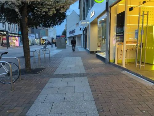
Starbucks
Cafe · Coffee Shop · 1.3 mi
91 Clarence Street, Kingston upon Thames
Mo-Sa 06:00-21:00; Su 06:30-21:00
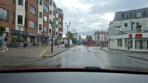
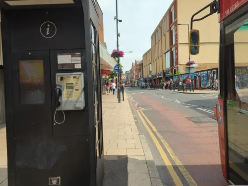
Caffè Nero
Cafe · Coffee Shop · 1.3 mi
13 Eden Walk, Kingston upon Thames
Mo-Fr 07:00-18:30; Sa 07:30-18:30; Su 08:30-18:00
Nero Express
Cafe · Coffee Shop
Victoria Road, Surbiton
Mo-Fr 05:30-19:00; Sa 06:30-19:00; Su 07:30-17:00

The Druids Head
Bar and pub · 1.3 mi
3 Market Place, Kingston upon Thames
Mo-Th 11:00-23:00; Fr 11:00-01:00; Sa 10:00-01:00; Su 10:00-23:00
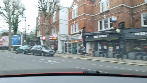
Ex Cellar
Cafe · French · 0.5 mi
18-20 Brighton Road, Surbiton
Mo 09:00-17:00; Tu-We 09:00-20:00; Th-Sa 09:00-23:00; Su 10:00-18:00
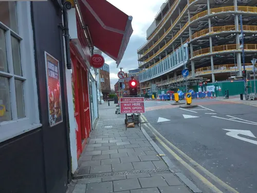
Fortunella Cafe
Cafe · Coffee Shop, Sandwich · 1.3 mi
8 Apple Market, Kingston upon Thames
Mo-Sa 07:00-17:00; Su 08:00-17:00
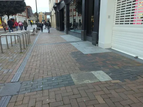
Franco Manca
Restaurant · Pizza · 1.4 mi
55 Clarence Street, Kingston upon Thames
Mo-Th 12:00-22:00; Fr-Sa 11:30-23:00; Su 11:30-22:00


Comptoir Libanais
Restaurant · Lebanese · 1.4 mi
2A Kingston Riverside, Kingston upon Thames
Mo-Th 11:00-22:00; Fr-Sa 11:00-22:30; Su 11:00-20:00
287 more on the map.
History
The present-day town came into existence after a plan to build a London-Southampton railway line through nearby Kingston was rejected by Kingston Council, who feared that it would be detrimental to the coaching trade. This resulted in the line being routed further south, through a cutting in the hill south of Surbiton. Surbiton railway station opened in 1838, and was originally named Kingston-upon-Railway. It was only renamed Surbiton to distinguish it from the new Kingston railway station on the Shepperton branch line, which opened on 1 January 1869. The present station has an art deco façade.
As a result, Kingston is now on a branch line, whereas passengers from Surbiton (smaller in comparison) can reach London Waterloo in as little as 16 minutes on a fast direct service; as well as places further afield, including Portsmouth and Southampton.
Surbiton was once home to Surbiton Studios which were owned by Stoll Pictures, before the company shifted its main production to Cricklewood Studios.
From the History section of Surbiton on Wikipedia, under CC BY-SA 4.0.
More about Surbiton
Geography
The terrain of Surbiton is relatively flat, except for a small hill near its centre. It is part of the Royal Borough of Kingston upon Thames in Greater London, and borders the Borough of Elmbridge in Surrey. Surbiton consists of several smaller areas, including much of Seething Wells.
Surbiton is a post town in the KT postcode area, consisting of the KT5 and KT6 postcode districts. KT5 includes Berrylands, Tolworth and part of Surbiton; and KT6 includes Tolworth, Long Ditton and part of Surbiton.
From the Wikipedia article Surbiton, under CC BY-SA 4.0.
Notable people from Surbiton
 Susan GeorgeEnglish actressPhoto: ITechIG, CC BY 4.0
 Julian ClaryEnglish comedian, actor, presenter and novelistPhoto: Marcus Liversedge, CC BY 3.0
 Henry DetmoldEnglish painter and illustrator, specialising in landscape, figure and marine painting (1854-1924)Photo: Henry Edward Detmold (1854-1924), Public domain
- Betty NuthallEnglish tennis player (1911-1983)
- Chris DrejaEnglish guitarist
- Eric ThompsonBritish racecar driver
- Charles RoughtBritish rower (1884–1919)
- TwinkleBritish singer-songwriter (1948–2015)
- Julia HigginsBritish polymer scientist
- Robert Thurston DartBritish musicologist (1921–1971)
- John Cooperco-founder of the Cooper Car Company
- Alfred Eckhard ZimmernBritish academic (1879-1957)
Born in Surbiton, according to Wikidata (CC0). Each name links to its Wikipedia article.
Where to stay11
DoubleTree by Hilton Kingston Upon Thames
Motel and hotel · 1.6 mi
1 Skerne Road, Kingston upon Thames
Churches and places of worship68
Church of St. Nicholas
Church · Anglican · 1.5 mi
Summer Road, Thames Ditton
Shopping63
Gas and EV charging7
Schools, colleges and libraries67
Our Lady Immaculate Catholic Primary School
School · Roman Catholic · 0.9 mi
399 Ewell Road, Surbiton
St John the Baptist Church of England Junior School
School · Anglican · 1.9 mi
Lower Teddington Road, Kingston upon Thames
St Joseph's Catholic Primary School
School · Roman Catholic · 1.2 mi
Albert Road, Kingston upon Thames
Healthcare23
Map of Surbiton
250 places. The map loads OpenStreetMap tiles when you open it.
Getting there and nearby towns
Heathrow Airport (LHR) is the nearest airport with scheduled flights listed in OpenStreetMap, 9 miles away.
- Kingston upon Thames 1 mi north, about 2 min by car
- Norbiton 2 mi northeast, about 2 min by car
- Hook 2 mi south, about 3 min by car
- Chessington 2 mi south, about 3 min by car
- Hampton Wick 2 mi north, about 3 min by car
- Worcester Park 2 mi east, about 4 min by car
- Esher 3 mi southwest, about 5 min by car
- Hampton 3 mi northwest, about 5 min by car
- Morden 4 mi east, about 7 min by car
- Epsom 4 mi south, about 7 min by car
Drive times are estimates from straight-line distance, not routes.
Towns near Surbiton


Keep exploring
Local news
Headlines from INDB.
Reviews, tips and questions
Loading what members have shared...
Sources and licences
- GeoNames (CC BY 4.0): population, coordinates, regions and time zone
- Mapillary (see each image): photos
- OpenStreetMap contributors (ODbL 1.0): places, airports, map data
- Wikidata (CC0 1.0): elevation, founding date, time zone, website, landmarks and historic places
- Wikimedia Commons (see each image): photos
- Wikipedia (CC BY-SA 4.0): overview and history text
Photo credits
- Surbiton library (5482745458), JuliaC2006 from Rochester, UK, CC BY 2.0
- Sessions House, Surbiton, Stevekeiretsu, CC BY-SA 4.0
- Chessington World of Adventures Hocus Pocus Hall, Jeremy Thompson, CC BY 2.0
- Hampton Court Bridge 1, Unknown author, CC BY-SA 2.5
- Hampton Court Palace (3), Ricardalovesmonuments, CC BY-SA 4.0
- Kingston Bridge2, Unknown author, Public domain
- Kingston Railway Bridge, Motmit at English Wikipedia ( Original text: Motmit ( talk ) ), CC BY-SA 3.0
- TeddBridge, Motmit, CC BY-SA 3.0
- The Karsino, Adam37, CC BY-SA 4.0
- Exterior of Kingston Museum, Zoopraxiscope, CC BY-SA 4.0
- Garrick's Temple south view, Maxwell Hamilton, CC BY 2.0
- Ham House, London, Stevekeiretsu, CC BY-SA 4.0
- Strawberry Hill House from garden in 2012 after restoration, Chiswick Chap, CC BY-SA 3.0
- HamptonCourtParkTrees, Ojw, CC BY-SA 3.0
- BushyParkAutumn, Ojw at English Wikipedia, CC BY-SA 3.0
- Cherry Wood 3, Dudley Miles, CC BY-SA 3.0
- All Saints Petersham, Stevekeiretsu, CC BY-SA 4.0
- Chapel in the Wood, Strawberry Hill 01, Jonathan Cardy, CC BY-SA 4.0
- Christ Church, Teddington, Jonathan Cardy, CC BY-SA 3.0
- St Mary The Virgin Chessington, steve bannister, CC BY-SA 2.0
- Ham Christian Centre, KenBailey, CC BY-SA 4.0
- The Rose Theatre, Kingston, London, Jim Linwood from London, CC BY 2.0
- Kingston, All Saints church, from the churchyard, AndyScott, CC BY-SA 4.0
- St Nicholas' Church, Church Walk, Thames Ditton (NHLE Code 1188441) (June 2015) (6), Hassocks5489, CC0
- CornationStone KingstonUponThames, Jmonica, CC BY-SA 4.0
- Holy Cross School 2, Mx. Granger, CC0
- A department store, Kingston upon Thames. - panoramio, brian gillman, CC BY 3.0
- The Druid's Head Pub, Kingston-upon-Thames - London. (16204869201), Jim Linwood from London, CC BY 2.0
- The clock tower Surbiton, Adrian Victory-Daly, CC BY-SA 4.0
- Kingston library (5482745902), JuliaC2006 from Rochester, UK, CC BY 2.0
- St Luke's church, Kingston, Stevekeiretsu, CC BY-SA 4.0
- Coronation Stone, Kingston-upon-Thames (2), Hellodavey1902, CC BY-SA 4.0
- ISH CannonHillCommon1, Ian Howard www.ianhoward.smugmug.com aka Drianhoward at en.wikipedia, CC BY 2.5
- Bentalls Centre, Kingston-upon-Thames, The original uploader was Sue Wallace at English Wikipedia ., CC BY-SA 2.0
- Bonesgate Open Space 6, Dudley Miles, CC BY-SA 3.0
- Bonesgate Stream in Castle Hill, Chessington, Dudley Miles, CC BY-SA 3.0
- St Luke's Church, Kingston-upon-Thames - London. (14484803373), Jim Linwood from London, CC BY 2.0
- 28-34 Ewell Road, Hugsbray, CC BY-SA 4.0
- 20-24 Ewell Road, Hugsbray, CC BY-SA 4.0
- 2-4 South Terrace, Hugsbray, CC BY-SA 4.0
- Clattern Bridge Kingston. (39599957415), Loco Steve from Bromley , UK, CC BY-SA 2.0
- Fountain in Cannizaro Park, Laura Nolte, CC BY 2.0
- Street-level photo, alexanderar, CC BY-SA 4.0
- Street-level photo, inanov, CC BY-SA 4.0
- Street-level photo, southglos, CC BY-SA 4.0
- Street-level photo, inanov, CC BY-SA 4.0
- Street-level photo, inanov, CC BY-SA 4.0
- Street-level photo, inanov, CC BY-SA 4.0
- Street-level photo, inanov, CC BY-SA 4.0
- Street-level photo, inanov, CC BY-SA 4.0
- Street-level photo, alexanderar, CC BY-SA 4.0
- Street-level photo, alexanderar, CC BY-SA 4.0
- Street-level photo, alexanderar, CC BY-SA 4.0
- Street-level photo, alexanderar, CC BY-SA 4.0
- Street-level photo, alexanderar, CC BY-SA 4.0
- Street-level photo, inanov, CC BY-SA 4.0
- Street-level photo, inanov, CC BY-SA 4.0
- Street-level photo, alexanderar, CC BY-SA 4.0
- Street-level photo, alexanderar, CC BY-SA 4.0
- Street-level photo, inanov, CC BY-SA 4.0
- Street-level photo, alexanderar, CC BY-SA 4.0
- Street-level photo, inanov, CC BY-SA 4.0
- Street-level photo, alexanderar, CC BY-SA 4.0
- Street-level photo, alexanderar, CC BY-SA 4.0
- Street-level photo, ecatmur, CC BY-SA 4.0


Page built November 10, 2026. Spotted a mistake? Tell us or suggest a place.