


Why visit Swanmore
Townapedia lists 2 museums and landmarks, 8 parks and trails, 11 places to eat and 1 attraction in and around town.
Highlights include Bishop's Waltham Palace, Swanmore War Memorial, Bishops Waltham Branch LNR and St Clair's Meadow.
Weather in Swanmore
Forecast from MET Norway (CC BY 4.0). Full forecast
About Swanmore
Swanmore is a rural village and civil parish situated in the Meon Valley, Hampshire, England, close to Bishop's Waltham.
From the Wikipedia article Swanmore (this version), under CC BY-SA 4.0.
Things to do1

Museums and landmarks2


Parks, trails and playgrounds8



Restaurants and cafes11
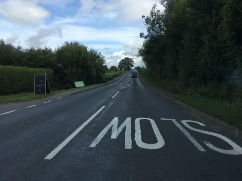
The Black Dog
Bar and pub · 1.5 mi
74 Winchester Road, Southampton
Mo-Fr 11:30-15:00,17:30-23:00; Sa,Su 11:30-23:00
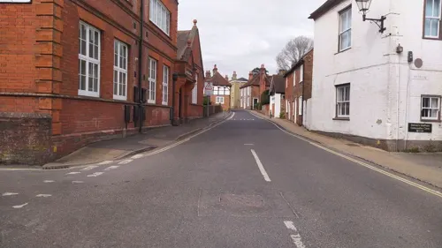
Waltham Spice
Restaurant · Indian · 1.4 mi
Bank Street, Southampton
Su-We 12:00-14:30,17:30-23:30; Th-Sa 12:00-14:30,17:30-00:00
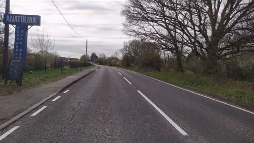
Anatolian - Turkish Restaurant
Restaurant · Turkish · 1.0 mi
Winchester Road, Southampton

Hampshire Bowman
Bar and pub · 1.3 mi
Dundridge Lane, Dundridge
Bar open Mo-Th 12:00-23:00; Fr 12:00-23:00; Sa 12:00-23:00; Su...


More about Swanmore
Education
Swanmore houses the schools Swanmore Primary School (a Church of England aided school) and Swanmore College, which is the secondary school for neighbouring towns and villages. The nearest major town is Fareham, six miles south. Swanmore also has two pre-schools, Swanmore Pre-School and the Greenery.
From the Wikipedia article Swanmore, under CC BY-SA 4.0.
Notable people from Swanmore
 Stephen LeacockCanadian writer and economist (1869–1944)Photo: The Arts & Letters Club of Toronto, Public domain
Born in Swanmore, according to Wikidata (CC0). Each name links to its Wikipedia article.
Churches and places of worship10
Bishops Waltham Christian Fellowship
Church · 1.5 mi
Basingwell Street Upper, Southampton
Schools, colleges and libraries6
St John the Baptist Church of England Primary School
School · Anglican · 1.3 mi
Solomons Lane, Southampton
Healthcare3
Map of Swanmore
41 places. The map loads OpenStreetMap tiles when you open it.
Getting there and nearby towns
Southampton Airport (SOU) is the nearest airport with scheduled flights listed in OpenStreetMap, 7 miles away.
- Wickham 3 mi south, about 5 min by car
- Fair Oak 5 mi west, about 8 min by car
- Hedge End 6 mi southwest, about 9 min by car
- Fareham 6 mi south, about 10 min by car
- Bishopstoke 7 mi west, about 11 min by car
- Eastleigh 8 mi west, about 12 min by car
- Waterlooville 8 mi southeast, about 13 min by car
- Cosham 8 mi southeast, about 14 min by car
- Portswood 9 mi west, about 15 min by car
- Southampton 10 mi west, about 16 min by car
Drive times are estimates from straight-line distance, not routes.
Towns near Swanmore


Keep exploring
Local news
Headlines from INDB.
Reviews, tips and questions
Loading what members have shared...
Sources and licences
- GeoNames (CC BY 4.0): population, coordinates, regions and time zone
- Mapillary (see each image): photos
- OpenStreetMap contributors (ODbL 1.0): places, airports, map data
- Wikidata (CC0 1.0): elevation, founding date, time zone, website, landmarks and historic places
- Wikimedia Commons (see each image): photos
- Wikipedia (CC BY-SA 4.0): overview and history text
Photo credits
- Bishops Waltham Palace, Michael Coppins, CC BY-SA 4.0
- St Peters Church Bishops Waltham, Gaspode the Wonder Dog ( talk ), CC BY-SA 3.0
- Street-level photo, noid, CC BY-SA 4.0
- Street-level photo, southglos, CC BY-SA 4.0
- Street-level photo, southglos, CC BY-SA 4.0
- Street-level photo, southglos, CC BY-SA 4.0
- Street-level photo, noid, CC BY-SA 4.0
Page built November 10, 2026. Spotted a mistake? Tell us or suggest a place.