

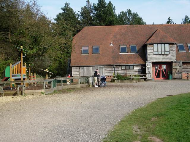


Fair Oak, United Kingdom
Fair Oak is a town of 10,212 people in England, United Kingdom.
Why visit Fair Oak
Townapedia lists 1 museum or landmark, 10 parks and trails, 18 places to eat, 1 place to stay and 4 attractions in and around town.
Highlights include The Point, Eastleigh, Eastleigh Museum, Itchen Valley Country Park and Lakeside Country Park.
Weather in Fair Oak
Forecast from MET Norway (CC BY 4.0). Full forecast
About Fair Oak
Fair Oak is a large village to the east of the town of Eastleigh in Hampshire, England. Together with the village of Horton Heath, which lies to the south, it is part of the civil parish of Fair Oak and Horton Heath.
From the Wikipedia article Fair Oak (this version), under CC BY-SA 4.0.
Things to do4

The Point, Eastleigh
Cinema and theater · 2.6 mi
Theatre and dance centre in Eastleigh, Hampshire, England, in the former Town Hall

Museums and landmarks1

Eastleigh Museum
Museum · 2.5 mi
Museum in Eastleigh, United Kingdom (closed)
Parks, trails and playgrounds10


Lakeside Country Park
Park · 3.0 mi
Railway park in the United Kingdom

Marwell Zoo
Park · 2.2 mi
Zoo situated at Owslebury near Winchester in England


Restaurants and cafes18
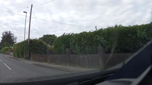
Brigadier Gerard
Bar and pub · 1.2 mi
Botley Road, Horton Heath, Eastleigh
Mo-Sa 12:00-23:00; Su 12:00-21:00
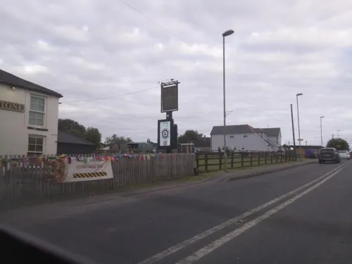
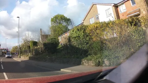




Vic's Fish Bar
Fast food · Fish And Chips · 1.0 mi
127a Fair Oak Road
6 more on the map.
History
Fair Oak takes its name from a tree in the Square which was felled and replaced in February 1843. A fair took place under the tree in June every year until 1918, and local historians believe this provided the tree, and subsequently the village around it, with its name.
Documentary evidence exists of a settlement in the area called Cnolgette in 901 AD.
The village has a history of sand quarrying, with some of the newer parts built over old restored quarries. In November 1830, during the Swing Riots, a group of labourers destroyed threshing machines in and around the village.
The central church of St Thomas was originally built in 1863 to serve as a chapel of ease for Fair Oak cemetery. At this time the village was part of the parish of Bishopstoke with its church of St Mary.
Read more of the history
Fair Oak was established as a civil parish in its own right in 1894, covering an area of 1,680 acres (680 ha) which previously formed the eastern end of Bishopstoke parish. In 1908, Fair Oak was described thus:The village of Fair Oak consists of widely scattered houses and farms reaching from Crowdhill on the north to Horton Heath on the south. From Crowdhill, part of which is in Fair Oak, a fine view can be gained of the surrounding country, the Itchen valley stretching away to the south-west towards the Solent, and the chalk downs which lie round Winchester sweeping away to the north.At this point Crowdhill consisted of a Wesleyan chapel and approximately three houses, with Stocks Farm lying between Crowdhill and the centre of Fair Oak itself, where St Thomas' Church had a number of houses grouped around it. An inn, smithy, and church schools were nearby, and some cottages adjoined the road to Knowle Hill. Horton Heath was included in the civil parish and at that time, consisting of a post office, the Rising Sun Inn, Hammerley Farm and a Union Chapel, was considered "a detached portion of Fair Oak village".
A number of country houses were sited around Fair Oak village. These included Fair Oak Park to the east, whose grounds covered about 120 acres (49 ha). To the northeast stood Stroudwood, while southwest of the village was Fair Oak Lodge, whose estate again covered about 120 acres (49 ha) and contained a lake known as Quobleigh Pond, which itself covered an area of about 7 acres (2.8 ha) and was noted for supporting a variety of water fowl species. Originally a convent dating from the 16th century, Fair Oak Lodge is in Allington Lane and was extended in the 19th century. The building now houses The King's School, which purchased the property in 1987.
Wyvern Community School was opened in 1965 and was renamed Wyvern Technology College in 2000. Then in 2012 the name was changed again to Wyvern College as a result of the school's conversion to an academy. The uniform crest was also changed slightly to a golden dragon.
The name of the parish was changed in 1983 from "Fair Oak" to "Fair Oak and Horton Heath" to reflect the expansion of the latter settlement over the previous two decades.
From the History section of Fair Oak on Wikipedia, under CC BY-SA 4.0.
Where to stay1
Churches and places of worship8
Gas and EV charging2
Schools, colleges and libraries8
Durley Church of England Controlled Primary School
School · Anglican · 1.5 mi
Durley Brook Road, Southampton
Healthcare2
Map of Fair Oak
54 places. The map loads OpenStreetMap tiles when you open it.
Getting there and nearby towns
Southampton Airport (SOU) is the nearest airport with scheduled flights listed in OpenStreetMap, 2 miles away.
- Southampton 6 mi southwest, about 10 min by car
- Hythe 8 mi southwest, about 14 min by car
- Romsey 9 mi west, about 14 min by car
- Portsmouth 14 mi southeast, about 23 min by car
- Petersfield 16 mi east, about 26 min by car
- Ryde 17 mi south, about 28 min by car
- Emsworth 18 mi southeast, about 28 min by car
- Newport 18 mi south, about 29 min by car
- Lymington 18 mi southwest, about 28 min by car
- South Hayling 18 mi southeast, about 30 min by car
Drive times are estimates from straight-line distance, not routes.
Towns near Fair Oak


Keep exploring
Local news
Headlines from INDB.
Reviews, tips and questions
Loading what members have shared...
Sources and licences
- GeoNames (CC BY 4.0): population, coordinates, regions and time zone
- Mapillary (see each image): photos
- OpenStreetMap contributors (ODbL 1.0): places, airports, map data
- Wikidata (CC0 1.0): elevation, founding date, time zone, website, landmarks and historic places
- Wikimedia Commons (see each image): photos
- Wikipedia (CC BY-SA 4.0): overview and history text
Photo credits
- The Point, Eastleigh, Paul Spencer, CC BY-SA 3.0
- Itchen Valley Country Park visitor centre, Hugh Venables, CC BY-SA 2.0
- Beach Lake, Lakeside Country Park, Eastleigh, Peter Facey, CC BY-SA 2.0
- Marwell Hall, March 30th 2016, User:Urshankov, CC BY-SA 4.0
- St James's Church, Church Hill, West End (NHLE Code 1281100) (May 2019) (1), Hassocks5489, CC0
- Emmanuel Baptist Church, Cherbourg Road, Eastleigh (June 2019) (1), Hassocks5489, CC0
- Holy Cross Church, Durley (NHLE Code 1350572) (May 2021) (11), Hassocks5489, CC0
- St Thomas's Church, Botley Road, Fair Oak (June 2019) (6), Hassocks5489, CC0
- Eastleigh Museum gallery, Geni, CC BY-SA 4.0
- Street-level photo, southglos, CC BY-SA 4.0
- Street-level photo, southglos, CC BY-SA 4.0
- Street-level photo, southglos, CC BY-SA 4.0
- Street-level photo, tallguy, CC BY-SA 4.0
- Street-level photo, southglos, CC BY-SA 4.0
- Street-level photo, southglos, CC BY-SA 4.0
- Street-level photo, southglos, CC BY-SA 4.0
- Street-level photo, southglos, CC BY-SA 4.0
- Street-level photo, southglos, CC BY-SA 4.0
- Street-level photo, southglos, CC BY-SA 4.0
- Street-level photo, southglos, CC BY-SA 4.0
- Street-level photo, southglos, CC BY-SA 4.0
- Street-level photo, southglos, CC BY-SA 4.0
- Street-level photo, southglos, CC BY-SA 4.0
- Street-level photo, southglos, CC BY-SA 4.0


Page built November 10, 2026. Spotted a mistake? Tell us or suggest a place.