



Thorngumbald, United Kingdom
Thorngumbald is a town of 2,973 people in England, United Kingdom.
Why visit Thorngumbald
Townapedia lists 9 places to eat and 3 attractions in and around town.
Highlights include Paull Lighthouse and Thorngumbald Clough High Lighthouse.
Weather in Thorngumbald
Forecast from MET Norway (CC BY 4.0). Full forecast
About Thorngumbald
Thorngumbald is a village and civil parish in the East Riding of Yorkshire, England, in an area known as Holderness, 8 miles (13 km) east of Hull on the A1033. The civil parish is formed by the village and the hamlets of Camerton and Ryehill. At the 2011 census, it had a population of 3,392, an increase on the 2001 UK census figure of 3,106.
From the Wikipedia article Thorngumbald (this version), under CC BY-SA 4.0.
Things to do3

Paull Lighthouse
Lighthouse · 2.6 mi
Lighthouse in Paull, East Riding of Yorkshire, England, UK

Thorngumbald Clough High Lighthouse
Lighthouse · 2.4 mi
Lighthouse in Paull, East Riding of Yorkshire, England, UK
Thorngumbald Clough Low Lighthouse
Lighthouse · 2.4 mi
Lighthouse in Paull, East Riding of Yorkshire, England, UK
Restaurants and cafes9



MJ's Chippy
Fast food · Fish And Chips
Church Lane, Hull
We-Fr 11:00-13:30,16:00-19:00; Sa 11:00-13:30,16:00-18:00
Churches and places of worship4


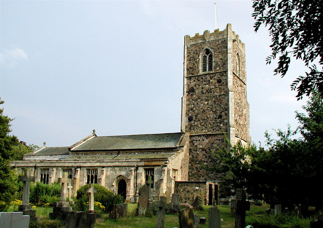
All Saints' Church, Burstwick
Church · 1.6 mi
Grade I listed church in Burstwick, East Riding of Yorkshire, England, UK

St Augustine's Church, Hedon
Church · 1.8 mi
Grade I listed church in Hedon, East Riding of Yorkshire, England, UK

Church of St Nicholas
Church · 2.4 mi
Grade I listed church in Keyingham, East Riding of Yorkshire, England, UK
Shopping1
History
Thorngumbald was once a Viking settlement – the official emblem of Thorngumbald is a Viking helmet with wings. The name was first recorded in the Domesday Book as "Torn", an Old English word meaning 'thorn bush'. The name was still in use in 1228, but by 1260 it had become "Thorne". In the lay subsidy rolls of Edward 1, 1297, it is given as Thorengumbald. A Baron Gumbaud had settled in the area, adding his name to the original and giving the village its present name. The Gumbaud name was associated with the local Lord of the manor in the 13th century. By the 17th century the village had had different spellings, including Thorgumbaud, Thorngumbold, Thorneygumbald and Gumberthorn. The current name has been in use since then.
From the History section of Thorngumbald on Wikipedia, under CC BY-SA 4.0.
More about Thorngumbald
Education
Thorngumbald Primary School is a local Primary School catering for children aged between 4 and 11. The school is a September 2007 amalgamation of Thorngumbald Infant and Junior Schools, now on a newly built site on Plumtree Road, originally the site used by Thorngumbald Infant School.
South Holderness Technology College in the village of Preston is the nearest secondary school. It caters for students from ages 11 to 16, with a Sixth Form College for those from 16 to 18. Thorngumbald is within the school's catchment area and buses provided by the school transport students of all age groups to and from the village in the morning and afternoon.
From the Wikipedia article Thorngumbald, under CC BY-SA 4.0.
Schools, colleges and libraries2
Healthcare1
Map of Thorngumbald
20 places. The map loads OpenStreetMap tiles when you open it.
Getting there and nearby towns
Humberside Airport (HUY) is the nearest airport with scheduled flights listed in OpenStreetMap, 12 miles away.
- Hedon 2 mi northwest, about 3 min by car
- Burstwick 2 mi northeast, about 2 min by car
- Keyingham 3 mi east, about 4 min by car
- Kingston upon Hull 7 mi west, about 11 min by car
- Immingham 8 mi south, about 12 min by car
- Stallingborough 9 mi south, about 15 min by car
- Dunswell 10 mi northwest, about 16 min by car
- Grimsby 11 mi south, about 18 min by car
- Barton upon Humber 11 mi west, about 18 min by car
- Cleethorpes 12 mi southeast, about 20 min by car
Drive times are estimates from straight-line distance, not routes.
Towns near Thorngumbald


Keep exploring
Local news
Headlines from INDB.
Reviews, tips and questions
Loading what members have shared...
Sources and licences
- GeoNames (CC BY 4.0): population, coordinates, regions and time zone
- Mapillary (see each image): photos
- OpenStreetMap contributors (ODbL 1.0): places, airports, map data
- Wikidata (CC0 1.0): elevation, founding date, time zone, website, landmarks and historic places
- Wikimedia Commons (see each image): photos
- Wikipedia (CC BY-SA 4.0): overview and history text
Photo credits
- All Saints Church, Burstwick, Paul Glazzard, CC BY-SA 2.0
- Hedon Church from Market Hill, Andy Beecroft, CC BY-SA 2.0
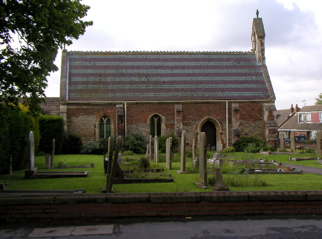
- Thorngumbald Church, Andy Beecroft, CC BY-SA 2.0
- Paull Lighthouse, on the side of the River Humber, near Hull, UK 03, Ridiculopathy, CC0
- The Barn Farm Thorngumbald, Paul Harrop, CC BY-SA 2.0
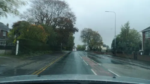
- Street-level photo, cuttlebug, CC BY-SA 4.0
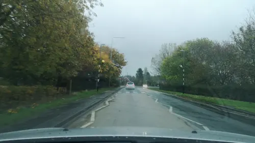
- Street-level photo, cuttlebug, CC BY-SA 4.0
- Street-level photo, cuttlebug, CC BY-SA 4.0
Page built November 10, 2026. Spotted a mistake? Tell us or suggest a place.