


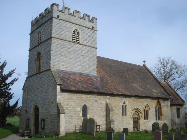
Upton upon Severn, United Kingdom
Upton upon Severn is a town of 1,861 people in England, United Kingdom.
Why visit Upton upon Severn
Townapedia lists 13 museums and landmarks, 2 parks and trails, 21 places to eat, 3 places to stay and 2 attractions in and around town.
Highlights include Clive's Fruit Farm, Croome Court, Upton-upon-Severn Memorial Hall and Brotheridge Green Nature Reserve.
Weather in Upton upon Severn
Forecast from MET Norway (CC BY 4.0). Full forecast
About Upton upon Severn
Upton upon Severn (or locally simply Upton) is a riverside town and civil parish in the Malvern Hills District of Worcestershire, England. Lying on the A4104 (formerly A440), the town recorded a population of 2,903 in the 2021 census.
From the Wikipedia article Upton upon Severn (this version), under CC BY-SA 4.0.
Travel tips from other travellers: Upton upon Severn on Wikivoyage (CC BY-SA 4.0).
Things to do2

Museums and landmarks13

Croome Court
Museum · 3.3 mi
Grade I listed historic house museum in Malvern Hills, United Kingdom
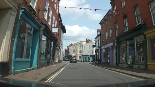
Upton-upon-Severn Memorial Hall
Monument and historic site
Memorial in Upton-upon-Severn, Malvern Hills, Worcestershire, England, UK


British National Fencing Museum
Museum · 2.8 mi
Museum in Malvern, Worcestershire, England, UK

1 more on the map.
Parks, trails and playgrounds2

Brotheridge Green Nature Reserve
Park · 2.2 mi
Nature reserve in Worcestershire, England

Restaurants and cafes21
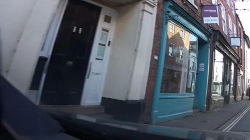
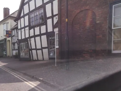
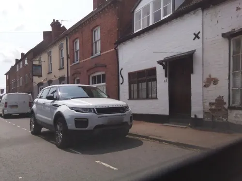
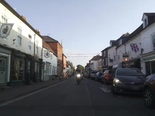



9 more on the map.
History
The name Upton derives from the Old English upptūn meaning "settlement higher up", in reference to its position upstream from Ripple.
Until the later half of the 20th century, the bridge at Upton was the only one across the River Severn between Worcester and Tewkesbury; the present bridge was built in 1940. Oliver Cromwell's soldiers crossed the Severn here to win the Battle of Upton before the main Battle of Worcester in the English Civil War. The Upton upon Severn Memorial Hall was completed in 1832.
From the History section of Upton upon Severn on Wikipedia, under CC BY-SA 4.0.
More about Upton upon Severn
Education
Primary education is provided by Upton Upon Severn CofE Primary School with approximately 175 (in 2025) pupils on its roll. Hanley Castle High School, located in a nearby village, provides secondary education for the region and is one of the three large high schools serving the Malvern area.
From the Wikipedia article Upton upon Severn, under CC BY-SA 4.0.
Notable people from Upton upon Severn
 Nigel MansellBritish racing driver (born 1953)Photo: ProtoplasmaKid, CC BY-SA 4.0
 Frederic Carpenter SkeyEnglish surgeonPhoto: Barraud & Jerrard, CC BY 4.0
- Margaret HarknessEnglish radical journalist and writer, editor
- William TennantRoyal Navy admiral (1890-1963)
- Anthony Deane-DrummondBritish Army general
- Roger JonesFootballer (born 1946)
- Evelyn MartinEnglish cricketer (1881-1945)
- George W. JonesBritish printer and type designer (1860–1942)
- John B. TrevorAmerican politician
- George Alexander WeirBritish Army general
- Bert GaddBritish golfer (1909-2003)
- Donald SlackBritish athlete
Born in Upton upon Severn, according to Wikidata (CC0). Each name links to its Wikipedia article.
Where to stay3
Churches and places of worship6
Roman Catholic Church of Our Lady and St Alphonsus, Hanley Swan
Church · 3.1 mi
Shopping3
Gas and EV charging1
Schools, colleges and libraries2
Healthcare1
Map of Upton upon Severn
54 places. The map loads OpenStreetMap tiles when you open it.
Getting there and nearby towns
Gloucestershire Airport (GLO) is the nearest airport with scheduled flights listed in OpenStreetMap, 12 miles away.
- Tewkesbury 5 mi southeast, about 9 min by car
- Great Malvern 6 mi northwest, about 9 min by car
- Worcester 9 mi north, about 14 min by car
- Bishops Cleeve 10 mi southeast, about 17 min by car
- Evesham 12 mi east, about 19 min by car
- Cheltenham 13 mi southeast, about 20 min by car
- Churchdown 13 mi south, about 21 min by car
- Gloucester 14 mi south, about 22 min by car
- Droitwich 14 mi north, about 23 min by car
- Charlton Kings 14 mi southeast, about 23 min by car
Drive times are estimates from straight-line distance, not routes.
Towns near Upton upon Severn


Keep exploring
Local news
Headlines from INDB.
Reviews, tips and questions
Loading what members have shared...
Sources and licences
- GeoNames (CC BY 4.0): population, coordinates, regions and time zone
- Mapillary (see each image): photos
- OpenStreetMap contributors (ODbL 1.0): places, airports, map data
- Wikidata (CC0 1.0): elevation, founding date, time zone, website, landmarks and historic places
- Wikimedia Commons (see each image): photos
- Wikipedia (CC BY-SA 4.0): overview and history text
Photo credits
- UptonUponSevernHighStreet(PhilipHalling)Apr2006, Philip Halling, CC BY-SA 2.0
- 11-13 Old Str Upton upon Severn, Secretary2006, CC BY-SA 4.0
- Croome Court 2016 013, Photograph by Mike Peel ( www.mikepeel.net )., CC BY-SA 4.0
- Hanley Castle, Philip Halling, CC BY-SA 2.0
- Church Of Saint Peter And Saint Paul Upton Upon Severn, Secretary2006, CC BY-SA 4.0
- St Nicholas Church, Earls Croome, Trevor Rickard, CC BY-SA 2.0
- Street-level photo, southglos, CC BY-SA 4.0
- Street-level photo, southglos, CC BY-SA 4.0
- Street-level photo, richardc, CC BY-SA 4.0
- Street-level photo, southglos, CC BY-SA 4.0
- Street-level photo, southglos, CC BY-SA 4.0
- Street-level photo, southglos, CC BY-SA 4.0
- Street-level photo, southglos, CC BY-SA 4.0
- Street-level photo, southglos, CC BY-SA 4.0
- Street-level photo, southglos, CC BY-SA 4.0
- Street-level photo, southglos, CC BY-SA 4.0
- Street-level photo, southglos, CC BY-SA 4.0
- Street-level photo, southglos, CC BY-SA 4.0
- Street-level photo, southglos, CC BY-SA 4.0
- Street-level photo, richardc, CC BY-SA 4.0
- Street-level photo, richardc, CC BY-SA 4.0
- Street-level photo, southglos, CC BY-SA 4.0
- Street-level photo, southglos, CC BY-SA 4.0
- Street-level photo, southglos, CC BY-SA 4.0
- Street-level photo, domdomegg, CC BY-SA 4.0
- Street-level photo, southglos, CC BY-SA 4.0
- Street-level photo, southglos, CC BY-SA 4.0
- Street-level photo, domdomegg, CC BY-SA 4.0
- Street-level photo, southglos, CC BY-SA 4.0
- Street-level photo, richardc, CC BY-SA 4.0
Page built November 10, 2026. Spotted a mistake? Tell us or suggest a place.