


Bishops Cleeve, United Kingdom
Bishops Cleeve is a town of 14,231 people in England, United Kingdom.
Why visit Bishops Cleeve
Townapedia lists 5 museums and landmarks, 9 parks and trails, 25 places to eat, 3 places to stay and 2 attractions in and around town.
Highlights include Everyman Theatre, The Wilson, Washpool and Wingmoor Farm Meadow.
Weather in Bishops Cleeve
Forecast from MET Norway (CC BY 4.0). Full forecast
About Bishops Cleeve
Bishop's Cleeve is a large village and civil parish in the Borough of Tewkesbury in the ceremonial county of Gloucestershire, England. The village lies at the foot of Cleeve Hill, the highest point in the Cotswolds. Bishop's Cleeve had a population of 10,612 in 2011, which has increased to 14,068 in the 2021 Census. The village is 13 miles (21 km) from Gloucester and 44 miles (71 km) from Oxford.
From the Wikipedia article Bishop's Cleeve (this version), under CC BY-SA 4.0.
Things to do2

Everyman Theatre
Cinema and theater · 3.3 mi
Theatre in Cheltenham, England

Museums and landmarks5

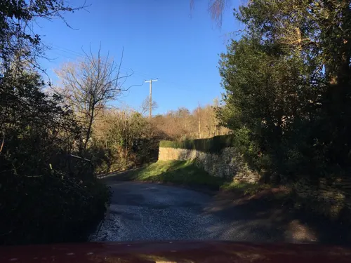
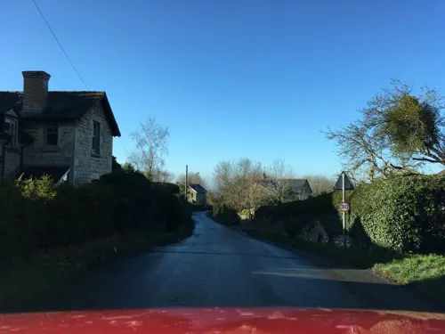

British Steeplechasing Hall of Fame
Museum · 2.0 mi
Museum in Gloucestershire

Parks, trails and playgrounds9



Restaurants and cafes25
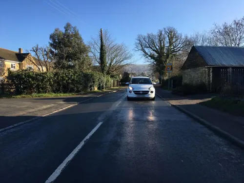
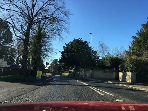


Burger Guy
Restaurant · Burger · 1.1 mi
Southam Lane, Cheltenham
Mo 17:00-20:30, Fr 16:00-20:30, Sa 14:00-20:30, Su 14:00-20:30

13 more on the map.
More about Bishops Cleeve
Education
Bishop's Cleeve has three schools; Grangefield Primary School, Bishop's Cleeve Primary Academy, which was built in 1965, and Cleeve School, an academy school in the south-east of the village.
From the Wikipedia article Bishop's Cleeve, under CC BY-SA 4.0.
Notable people from Bishops Cleeve
- Peter GoringEnglish footballer and manager (1927-1994)
- John Draper (motorcyclist)English professional motorcycle racer
- Eleanor Catharine PriceBritish novelist, literary critic, and writer
Born in Bishops Cleeve, according to Wikidata (CC0). Each name links to its Wikipedia article.
Where to stay3
Churches and places of worship11
Shopping6
Gas and EV charging1
Schools, colleges and libraries6
Healthcare2
Map of Bishops Cleeve
70 places. The map loads OpenStreetMap tiles when you open it.
Getting there and nearby towns
Gloucestershire Airport (GLO) is the nearest airport with scheduled flights listed in OpenStreetMap, 6 miles away.
- Cheltenham 3 mi south, about 5 min by car
- Charlton Kings 4 mi south, about 7 min by car
- Tewkesbury 5 mi northwest, about 8 min by car
- Churchdown 7 mi southwest, about 11 min by car
- Gloucester 10 mi southwest, about 15 min by car
- Evesham 11 mi northeast, about 18 min by car
- Cirencester 16 mi south, about 26 min by car
- Worcester 18 mi north, about 29 min by car
- Cinderford 20 mi southwest, about 33 min by car
- Stratford-upon-Avon 23 mi northeast, about 36 min by car
Drive times are estimates from straight-line distance, not routes.
Towns near Bishops Cleeve


Keep exploring
Local news
Headlines from INDB.
Reviews, tips and questions
Loading what members have shared...
Sources and licences
- GeoNames (CC BY 4.0): population, coordinates, regions and time zone
- Mapillary (see each image): photos
- OpenStreetMap contributors (ODbL 1.0): places, airports, map data
- Wikidata (CC0 1.0): elevation, founding date, time zone, website, landmarks and historic places
- Wikimedia Commons (see each image): photos
- Wikipedia (CC BY-SA 4.0): overview and history text
Photo credits
- Cheltenham Art Gallery & Museum on 21 March 2009, Elliott Brown from Birmingham, United Kingdom, CC BY 2.0
- All Saints Church, Cheltenham, P L Chadwick, CC BY-SA 2.0
- Cheltenham Minster 04, Simon Burchell, CC BY-SA 4.0
- StMarysChurchsouth, griffp, CC BY-SA 3.0
- Cheltenham - panoramio (4), Tanya Dedyukhina, CC BY 3.0
- Bishops cleeve church, Tfennell (Tim Fennell) at en.wikipedia, Public domain
- Southam Church, Griffp, CC BY-SA 4.0
- Everyman Theatre, Cheltenham - panoramio, N19±, CC BY-SA 3.0
- Street-level photo, southglos, CC BY-SA 4.0
- Street-level photo, dllewellyn, CC BY-SA 4.0
- Street-level photo, southglos, CC BY-SA 4.0
- Street-level photo, southglos, CC BY-SA 4.0
- Street-level photo, southglos, CC BY-SA 4.0
- Street-level photo, southglos, CC BY-SA 4.0
- Street-level photo, southglos, CC BY-SA 4.0
- Street-level photo, southglos, CC BY-SA 4.0
- Street-level photo, southglos, CC BY-SA 4.0
- Street-level photo, southglos, CC BY-SA 4.0
- Street-level photo, southglos, CC BY-SA 4.0
- Street-level photo, southglos, CC BY-SA 4.0
- Street-level photo, southglos, CC BY-SA 4.0
- Street-level photo, southglos, CC BY-SA 4.0
- Street-level photo, richardc, CC BY-SA 4.0

Page built November 10, 2026. Spotted a mistake? Tell us or suggest a place.