


Churchdown, United Kingdom
Churchdown is a town of 13,287 people in England, United Kingdom.
Why visit Churchdown
Townapedia lists 9 museums and landmarks, 6 parks and trails, 11 places to eat, 2 places to stay and 4 attractions in and around town.
Highlights include Bacon Theatre, Theatre Royal, Gloucester, Jet Age Museum and Glevum.
Weather in Churchdown
Forecast from MET Norway (CC BY 4.0). Full forecast
About Churchdown
Churchdown is a large village in Gloucestershire, England, situated between Gloucester and Cheltenham in the south of the Tewkesbury Borough.
From the Wikipedia article Churchdown (this version), under CC BY-SA 4.0.
Things to do4

Bacon Theatre
Cinema and theater · 3.0 mi
Theatre on the site of Dean Close School, Cheltenham, England
Theatre Royal, Gloucester
Cinema and theater · 3.3 mi
Former theatre in Gloucester, England


Museums and landmarks9

Jet Age Museum
Museum · 1.3 mi
Aviation museum in Staverton, Gloucestershire, United Kingdom
Sa,Su,PH 10:00-16:00

Glevum
Monument and historic site · 3.4 mi
Roman fort, predecessor to Gloucester, UK

Museum of Gloucester
Museum · 3.3 mi
Museum in Gloucester, England, United Kingdom

Nature in Art
Museum · 3.3 mi
Art gallery in Gloucester, England, United Kingdom

Parks, trails and playgrounds6


Brickhampton Court Golf Complex
Golf course · 1.5 mi
Cheltenham Road, Churchdown
Mo-Fr 06:00-21:00; Sa-Su 08:00-19:00


Restaurants and cafes11
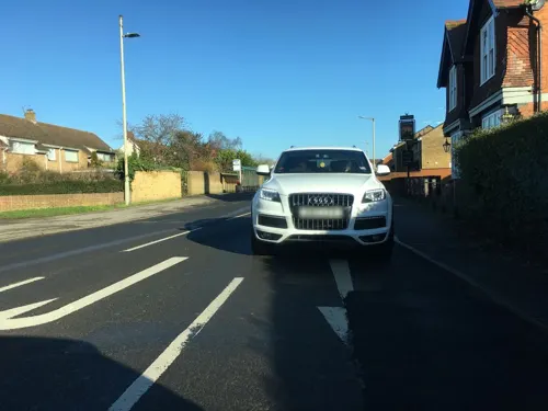
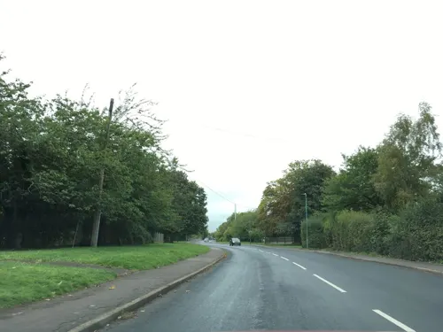
The Brookfield
Cafe · 0.4 mi
Parton Road, Gloucester
Mo-Fr 09:00-15:30,19:00-23:00; Sa 10:00-14:00,19:00-23:00; Su 19:00-22:30
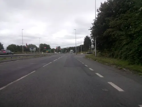
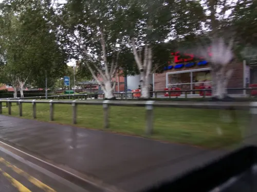
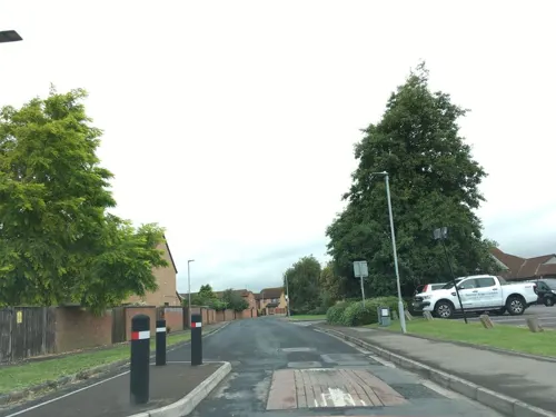

The Old Elm Inn
Bar and pub
Church Road, Gloucester
Mo-We 12:00-23:00; Th-Sa 12:00-24:00; Su 12:00-22:30


More about Churchdown
Education
Churchdown has six schools, including two secondary schools - Churchdown School Academy and Chosen Hill School. There are also several primary schools; Churchdown Parton Manor Infant and Junior Schools, St Mary's Catholic School and Churchdown Village Infant and Junior Schools.
From the Wikipedia article Churchdown, under CC BY-SA 4.0.
Where to stay2
Churches and places of worship14
Our Lady of Perpetual Succour Catholic Church
Church · Catholic · 1.0 mi
Cheltenham Road East, Gloucester
Shopping2
Gas and EV charging1
Schools, colleges and libraries13
Healthcare3
Map of Churchdown
65 places. The map loads OpenStreetMap tiles when you open it.
Getting there and nearby towns
Gloucestershire Airport (GLO) is the nearest airport with scheduled flights listed in OpenStreetMap, 1 miles away.
- Gloucester 3 mi west, about 5 min by car
- Cheltenham 4 mi east, about 7 min by car
- Tewkesbury 8 mi north, about 13 min by car
- Cinderford 14 mi west, about 23 min by car
- Dursley 16 mi southwest, about 25 min by car
- Ross on Wye 17 mi west, about 28 min by car
- Evesham 18 mi northeast, about 28 min by car
- Worcester 22 mi north, about 35 min by car
- Thornbury 24 mi southwest, about 38 min by car
- Swindon 28 mi southeast, about 45 min by car
Drive times are estimates from straight-line distance, not routes.
Towns near Churchdown


Keep exploring
Local news
Headlines from INDB.
Reviews, tips and questions
Loading what members have shared...
Sources and licences
- GeoNames (CC BY 4.0): population, coordinates, regions and time zone
- Mapillary (see each image): photos
- OpenStreetMap contributors (ODbL 1.0): places, airports, map data
- Wikidata (CC0 1.0): elevation, founding date, time zone, website, landmarks and historic places
- Wikimedia Commons (see each image): photos
- Wikipedia (CC BY-SA 4.0): overview and history text
Photo credits
- Old School House Churchdown UK, Fontles at English Wikipedia, CC BY-SA 3.0
- Churchdown railway and jubilee 2010489 04a60284, Ben Brooksbank, CC BY-SA 2.0
- Gloster E28 39 (48648599192), Hugh Llewelyn from Keynsham, UK, CC BY-SA 2.0
- Roman Britain 410, User:Lotroo / R. Botek; Изработено от Потребител:Lotroo, Public domain
- Gloucester City Museum 05, Simon Burchell, CC BY-SA 4.0
- Wallsworth Hall, Andy Mabbett, CC BY-SA 3.0
- Hillfield Gardens Entrance gates (1), D Eaketts, CC BY-SA 4.0
- Holy Trinity Church, Longlevens 07, Philafrenzy, CC BY-SA 4.0
- St Mary de Lode Church Gloucester 20 August 2011, Philafrenzy, CC0
- St. Oswald's Priory, Gloucester south side, Philafrenzy, CC0
- STRS June 2013, User:mdann52, CC BY-SA 3.0
- St Bartholemews Churchdown UK, User:Fontles, CC BY-SA 3.0
- Churchdown Library, DIaNyf8q, CC0
- Street-level photo, southglos, CC BY-SA 4.0
- Street-level photo, southglos, CC BY-SA 4.0
- Street-level photo, southglos, CC BY-SA 4.0
- Street-level photo, southglos, CC BY-SA 4.0
- Street-level photo, southglos, CC BY-SA 4.0
- Street-level photo, southglos, CC BY-SA 4.0
- Street-level photo, southglos, CC BY-SA 4.0
- Street-level photo, laye, CC BY-SA 4.0
- Street-level photo, southglos, CC BY-SA 4.0
- Street-level photo, southglos, CC BY-SA 4.0


Page built November 10, 2026. Spotted a mistake? Tell us or suggest a place.