


Bearsden, United Kingdom
Bearsden is a town of 28,470 people in Scotland, United Kingdom.
Why visit Bearsden
Townapedia lists 12 museums and landmarks, 15 parks and trails, 53 places to eat and 3 places to stay in and around town.
Highlights include HMS Repulse, Western Necropolis, Dawsholm Park and Ruchill Park.
Weather in Bearsden
Forecast from MET Norway (CC BY 4.0). Full forecast
About Bearsden
Bearsden is an affluent town in East Dunbartonshire, Scotland, on the northwestern fringe of Greater Glasgow, approximately six miles (ten kilometres) from the city centre.
From the Wikipedia article Bearsden (this version), under CC BY-SA 4.0.
Travel tips from other travellers: Bearsden on Wikivoyage (CC BY-SA 4.0).
Photos of Bearsden

Museums and landmarks12

HMS Repulse
Monument and historic site · 3.0 mi
1916 Renown-class battlecruiser

Western Necropolis
Monument and historic site · 2.2 mi
Cemetery in the north of Glasgow, Scotland, UK


Clydebank Museum
Museum · 3.1 mi
Maritime museum in West Dunbartonshire, Scotland, United Kingdom
Parks, trails and playgrounds15



Knightswood Pitch & Putt
Golf course · 1.4 mi
Pitch & Putt course, free to use - no booking required
Chaplet Avenue, Glasgow

3 more on the map.
Restaurants and cafes53
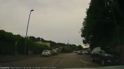
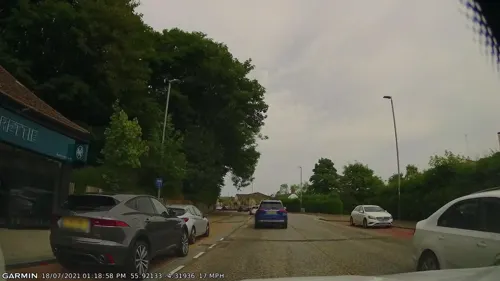
Bamboléo
Restaurant · Tapas, Steak House, Spanish · 0.6 mi
149 Milngavie Road, Glasgow
We,Th 16:00-23:45; Fr,Sa 12:00-23:45; Su 12:00-22:45
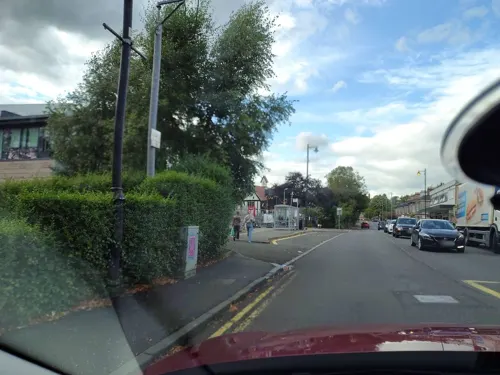
Elements
Restaurant
19 New Kirk Road
We 18:00-23:45; Th-Sa 12:00-14:00,18:00-23:45; Su 12:30-14:30,18:00-23:45
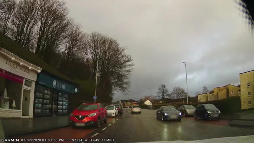
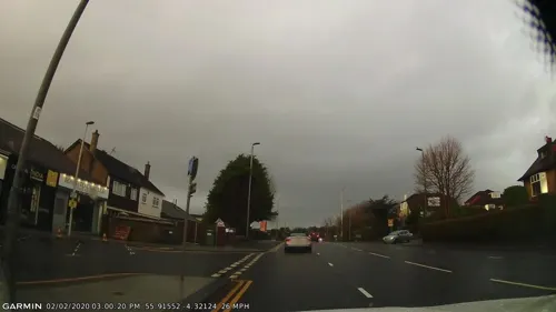
Hillhart Coffee Co.
Cafe · Coffee Shop
116 Drymen Road, Glasgow
Mo,Tu,Th-Sa 09:00-17:00; Su 10:00-16:00
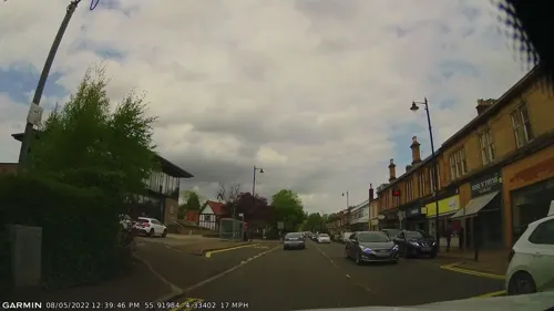
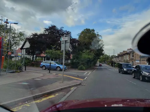

New Manor Garden
Restaurant · Chinese · 1.4 mi
Grampian Way
Su-Th 16:30-22:00; Fr,Sa 16:30-23:00

41 more on the map.
Where to stay3

History
The first known settlement on the site of present-day Bearsden was a 2+1⁄2-acre (1-hectare) Roman fort in the second century AD. Between 142 and 144 AD, under Emperor Antoninus Pius, the Romans built a stone and turf fortification, called the Antonine Wall, between the Firth of Clyde and the Firth of Forth. They also built the Military Way, a road that ran parallel, to the south of the wall. The fort was positioned at the intersection of the Military Way, and the north–south road between Glasgow and Loch Lomond. A video reconstruction of the site has been produced. In 164 AD, after only 20 years, the Romans withdrew to Hadrian's Wall.
Little of the fort remains today. However, close to the fort was a Roman bath-house, built in approximately 142–143 AD. The bath-house's remains were discovered by builders digging foundations for a housing development in 1973. The site was donated to the nation, and today the remains lie, well-preserved, 150 metres (160 yd) from the town centre. Two further stretches of the Antonine Wall's stone base can be seen in the New Kilpatrick Cemetery on Boclair Road.
Read more of the history
Prior to 1649, the area formed part of a larger parish called Kilpatrick. One part was called West, or Old Kilpatrick, and covered Dumbarton and areas of west Dunbartonshire, such as Clydebank. The remaining part was named East or New Kilpatrick, covering a much greater area than Bearsden, from the River Clyde at Whiteinch and Yoker to Duntocher, Strathblane and Baldernock. Modern Bearsden began in an agricultural area as a small hamlet called New Kirk (or perhaps Chapelton) close to New Kilpatrick Parish Church, which was first built in 1649. Close landmarks included Canniesburn Toll, and a water mill at Garscube. The present-day church was built in 1807.
The size and style of the community prior to urbanisation is recorded in Rambles Round Glasgow, first published in 1854. The author describes a route from Maryhill, crossing the River Kelvin at Garscube Mill to Canniesburn. At that point, the route takes the road to Drymen, rather than the alternative to Milngavie. Of particular note are the woods and gardens surrounding the fine houses of Killermont and Garscube, which are contrasted with a small shop at Canniesburn with apparently nothing left for sale. The kirk-toun (modern Bearsden Cross) is described as consisting of about a dozen cottages of idyllic rural beauty, isolated from the noise and dirt of Glasgow. The account also includes one of the earliest references to "Bear's Den", and although the location is not clear, a traditional belief is recorded that it was a Roman burial site.
The New Kirk settlement grew from the middle of the nineteenth century when Glaswegian businessmen built houses at a commutable distance from the city. In 1863, the Glasgow and Milngavie Junction Railway opened, with a station near New Kirk called Bearsden. This was soon adopted as the name of the community. The opening of the railway led to considerable development of Bearsden, with many large Victorian houses built in what is now known as Old Bearsden Conservation Area.
The Glasgow Reformatory for Girls at East Chapelton (also known as East Chapelton Home and Hillfoot Residential School) moved from Rottenrow to Bearsden in the late 1860s. Managed by Glasgow Corporation, the countryside location moved the girls away from any malign influences to be found in the city and allowed the institution to be self-supporting with livestock and a vegetable garden. The girls washed their own clothes and those of local residents in the Reformatory's large laundry. In addition to girls who had fallen foul of the courts, others with problems such as malnourishment and learning difficulties were also housed at Chapelton. In 1949, around 360 girls passed through the school annually and were taken to New Kilpatrick Parish church on Sundays. The school closed in the early 1970s and after a brief period as a hall of residence for the Nautical College, the building was demolished to make way for a shopping centre with a Fine Fare supermarket (later replaced by Asda).
Buchanan Retreat was built in 1890 by the Buchanan sisters of Bellfield, near Kilmarnock, in Ayrshire. It was taken over by Bearsden Burgh in 1962 and, known as Boclair House, used as council offices (pictured below under Administration). Latterly used by East Dunbartonshire council, it was placed on the market in 2012 following council cost-cutting measures and staff redistribution. In 2016 the building opened as Boclair House Hotel, a hotel, wedding venue, and restaurant, which has since won several awards. The Schaw Home (pictured) was built in 1895 by Miss Marjory Shanks Schaw in memory of her brother and gifted to Glasgow Royal Infirmary. The building has now been split into private residential apartments.
In 1906, many buildings were built at Bearsden Cross by Mathew Henderson (he also tried, unsuccessfully, to develop another commuter suburb at Drumchapel). Westerton Garden suburb was built around 1913 and is also now a conservation area near Westerton station. Near this is the site of the former Canniesburn Hospital, which has many Art Deco buildings and where pioneering plastic surgery was performed, notably on the Boy David who was featured on many television programmes and was adopted by one of the doctors there. The hospital site has now been developed into flats, but much of the character has been retained and copied. A further station in Bearsden is at Hillfoot. Bearsden continued to expand in the twentieth century as residents built large independently designed villas, estates of bungalows, and other types of houses. Few sites are now left unoccupied.
In 1958, Bearsden became a Burgh. Then, in 1975, it became part of Bearsden & Milngavie District Council. Since 1996, it has been the largest of the five major towns of East Dunbartonshire Council.
From the History section of Bearsden on Wikipedia, under CC BY-SA 4.0.
More about Bearsden
Education
There are two secondary schools in the town, Bearsden Academy and Boclair Academy which both have academic performance "well above average". These are fed by seven primary schools within the town (Boclair Academy's fourth feeder primary is located outside Bearsden in Torrance) and a small number of placing requests from other areas. An eighth primary school, St Nicolas’, feeds three Catholic secondary schools outside Bearsden. The High School of Glasgow has a primary school section in the town – this is the result of a merger between the school and the former Drewsteignton Home School, founded in 1922.
From the Wikipedia article Bearsden, under CC BY-SA 4.0.
Notable people from Bearsden
 David J. ThoulessBritish physicist (1934–2019)Photo: Mary Levin, CC BY-SA 4.0
 Ross GreerScottish politicianPhoto: Bristol Green Party, CC0
 Moultrie KelsallBritish actor (1901-1980)Photo: Crown Film Unit, Public domain
 Ilay Campbell, Lord Succothadvocate, judge and politicianPhoto: David Martin, Public domain
- Jessie M. KingScottish Artist (1875-1949)
- Michelle ThomsonScottish politician (born 1965)
- Mea AllanBritish writer (1909-1982)
- K. G. MacLeodScottish rugby union player, golfer, soccer player and cricketer (1888-1967)
- Lorraine DavidsonBritish journalist
- Francis ReidSri Lankan army commander
- Mark EastonBBC Home Editor
- Alan MacNaughtanBritish actor (1920-2002)
Born in Bearsden, according to Wikidata (CC0). Each name links to its Wikipedia article.
Churches and places of worship39
Knightswood St Margaret's Parish Church
Church · Church Of Scotland · 1.4 mi
1996 Great Western Road, Glasgow
Broomhill Church, 64-66 Randolph Road, Broomhill, Glasgow
Church · 2.6 mi
Hillhead Baptist Church, 41 Cresswell Street, Glasgow
Church · 3.2 mi
Balshagray Parish Church, 230 Broomhill Drive, Glasgow
Church · 2.8 mi
Dowanhill United Presbyterian Church, 93-95 Hyndland Street, Glasgow
Church · 3.1 mi
Drumchapel Old Parish Church, 143-153 Garscadden Road, Glasgow
Church · 1.4 mi
Shopping11
Gas and EV charging6
Schools, colleges and libraries23
Healthcare7
Map of Bearsden
169 places. The map loads OpenStreetMap tiles when you open it.
Getting there and nearby towns
Glasgow Airport (GLA) is the nearest airport with scheduled flights listed in OpenStreetMap, 5 miles away.
- Milngavie 2 mi north, about 3 min by car
- Clydebank 3 mi west, about 5 min by car
- Renfrew 4 mi southwest, about 6 min by car
- Bishopbriggs 4 mi east, about 7 min by car
- Glasgow 5 mi southeast, about 7 min by car
- Paisley 7 mi southwest, about 11 min by car
- Kirkintilloch 7 mi east, about 12 min by car
- Rutherglen 8 mi southeast, about 12 min by car
- Giffnock 8 mi south, about 13 min by car
- Johnstone 9 mi southwest, about 15 min by car
Drive times are estimates from straight-line distance, not routes.
Towns near Bearsden


Keep exploring
Local news
Headlines from INDB.
Reviews, tips and questions
Loading what members have shared...
Sources and licences
- GeoNames (CC BY 4.0): population, coordinates, regions and time zone
- Mapillary (see each image): photos
- OpenStreetMap contributors (ODbL 1.0): places, airports, map data
- Wikidata (CC0 1.0): elevation, founding date, time zone, website, landmarks and historic places
- Wikimedia Commons (see each image): photos
- Wikipedia (CC BY-SA 4.0): overview and history text
Photo credits
- SchawHomeBearsden, Wikiwayman at English Wikipedia, CC BY 3.0
- Renown-7, Underwood & Underwood, Public domain
- View of Western Necropolis, Glasgow looking south, AlistairMcMillan, CC BY-SA 4.0
- Victoria park - looking south, Rosser1954, CC BY-SA 3.0
- All Saints Church, Jordanhill, NickGeorge1993, CC BY-SA 4.0
- Broomhill Parish Church, NickGeorge1993, CC BY-SA 4.0
- Greek Orthodox Church Glasgow, Bjmullan, CC BY-SA 3.0
- Hillhead Baptist Church, Glasgow, Scotland, © Copyright wfmillar and licensed for reuse under this Creative Commons Licence., CC BY-SA 2.0
- Hyndland Parish Church, NickGeorge1993, CC BY-SA 4.0
- Jordanhill Parish Church, NickGeorge1993, CC BY-SA 4.0
- Dawsholm-Park-Glasgow-01, Stephen Sweeney, CC BY-SA 2.0
- KnightswoodStNiniansRCChurch, Wikiwayman, CC BY-SA 3.0
- Dawsholm-Park-Glasgow-02, Stephen Sweeney, CC BY-SA 2.0
- Ruchill Park hillock, Thrissel, CC BY-SA 3.0
- Street-level photo, gmc, CC BY-SA 4.0
- Street-level photo, IpswichEdits, CC BY-SA 4.0
- Street-level photo, gmc, CC BY-SA 4.0
- Street-level photo, gmc, CC BY-SA 4.0
- Street-level photo, SuborbitalPige0n, CC BY-SA 4.0
- Street-level photo, SuborbitalPige0n, CC BY-SA 4.0
- Street-level photo, gmc, CC BY-SA 4.0
- Street-level photo, gmc, CC BY-SA 4.0
- Street-level photo, gmc, CC BY-SA 4.0
- Street-level photo, gmc, CC BY-SA 4.0
- Street-level photo, gmc, CC BY-SA 4.0
- Street-level photo, laye, CC BY-SA 4.0
- Street-level photo, gmc, CC BY-SA 4.0
- Street-level photo, gmc, CC BY-SA 4.0
- Street-level photo, gmc, CC BY-SA 4.0
- Street-level photo, SuborbitalPige0n, CC BY-SA 4.0


Page built November 10, 2026. Spotted a mistake? Tell us or suggest a place.