


Witton Gilbert, United Kingdom
Witton Gilbert is a town of 2,339 people in England, United Kingdom.
Why visit Witton Gilbert
Townapedia lists 15 museums and landmarks, 5 parks and trails, 30 places to eat, 2 places to stay and 6 attractions in and around town.
Highlights include Elvet Bridge, Framwellgate Bridge, Durham Castle and Durham Miners Heritage Centre.
Weather in Witton Gilbert
Forecast from MET Norway (CC BY 4.0). Full forecast
About Witton Gilbert
Witton Gilbert is a village and civil parish in County Durham, England.
From the Wikipedia article Witton Gilbert (this version), under CC BY-SA 4.0.
Things to do6

Elvet Bridge
Bridge · 3.3 mi
Grade I listed bridge in Durham, England

Framwellgate Bridge
Bridge · 3.1 mi
Grade I listed bridge in Durham, England

Kingsgate Bridge
Bridge · 3.4 mi
Footbridge across the River Wear in Durham, England

Prebends Bridge
Bridge · 3.3 mi
Grade I listed bridge in Durham, England

The Assembly Rooms Theatre
Cinema and theater · 3.3 mi
Historic theatre in Durham, England

Museums and landmarks15

Durham Castle
Museum · 3.2 mi
Grade I listed historic house museum in Durham, England, UK
Durham Miners Heritage Centre
Museum · 2.9 mi
Former mining museum in Durham, England

Durham Museum
Museum · 3.3 mi
Museum, formerly a church, in Durham, England, United Kingdom

Durham University Museum of Archaeology
Museum · 3.2 mi
Archaeological museum at the University of Durham

Maiden's Bower round cairn
Monument and historic site · 2.6 mi
Archaeological site in Durham, England, UK


3 more on the map.
Parks, trails and playgrounds5



Restaurants and cafes30



18 more on the map.
History
There is archaeological evidence of the area having been populated in the late Neolithic and in the Bronze Age periods. A small Roman settlement at Crookton across the River Browney existed as a settlement until the 13th century.
Witton Gilbert is a medieval town of Saxon origin. Witton was originally spelled Witun (Wit meaning white house and Tun meaning fortified place). The designation "Gilbert" was added later and could refer to the Norman lord Gilbert de la Ley, a major landowner in the 12th century, or a later lord Gilbert de la Latone. In medieval times Witton Gilbert was very important to the churchmen of Durham and became the place of a retreat or residence of the latter. Other occasional occupants included visiting royalty such as King Edward III and Queen Philippa and also King Edward I.
Read more of the history
In the early 14th century, coal mining started in the parish from bell pits, however, the deposits were soon worked out. The first school in the village is known from the 1660s, a schoolhouse was built on Front Street in 1720. In 1875, the Wesleyan Methodist Chapel was built. From 1894 to 1937 Witton Gilbert and neighbouring Sacriston formed a joint civil parish. Nearby collieries employed numerous workers, many of whom settled in Witton Gilbert, so that the population reportedly increased to about 4,400 people in 1896. Coal was again extracted in a small drift mine from after World War I until shortly after the nationalisation of the coal industry. Some of England's first council houses were built at the beginning of the 20th century, further housing estates were constructed in the 1960s and 1970s. A road bypass to the south of the village was opened in 1996.
From the History section of Witton Gilbert on Wikipedia, under CC BY-SA 4.0.
More about Witton Gilbert
Geography
Witton Gilbert is situated about 3.7 miles (6.0 km) to the north-west of Durham. River Browney passes to the south of the village, while Dene Burn, one of its tributaries, runs through it. Parts of the Prior of Durham's Park of Beaurepaire are within the bounds of Witton Gilbert.
The village once had a railway station on the Lanchester Valley Line, but this was closed in the early 1960s, with passenger service withdrawn in the late 1930s. However, the station building survives as a private residence, along with one of the platforms. The former railway line has been turned into a foot and cycle path and is part of National Cycle Route 14.
From the Wikipedia article Witton Gilbert, under CC BY-SA 4.0.
Notable people from Witton Gilbert
- Paddy McAloonEnglish singer-songwriter and musician
Born in Witton Gilbert, according to Wikidata (CC0). Each name links to its Wikipedia article.
Where to stay2
Churches and places of worship10
Shopping3
Schools, colleges and libraries7
Healthcare3
Map of Witton Gilbert
81 places. The map loads OpenStreetMap tiles when you open it.
Getting there and nearby towns
Newcastle International Airport (NCL) is the nearest airport with scheduled flights listed in OpenStreetMap, 16 miles away.
- Durham 3 mi southeast, about 5 min by car
- Chester-le-Street 4 mi northeast, about 7 min by car
- Stanley 5 mi northwest, about 8 min by car
- Annfield Plain 5 mi northwest, about 9 min by car
- East Rainton 6 mi east, about 10 min by car
- Houghton-Le-Spring 7 mi east, about 12 min by car
- Hetton-Le-Hole 7 mi east, about 12 min by car
- Tanfield 7 mi northwest, about 11 min by car
- Washington 8 mi northeast, about 13 min by car
- Spennymoor 8 mi south, about 12 min by car
Drive times are estimates from straight-line distance, not routes.
Towns near Witton Gilbert


Keep exploring
Local news
Headlines from INDB.
Reviews, tips and questions
Loading what members have shared...
Sources and licences
- GeoNames (CC BY 4.0): population, coordinates, regions and time zone
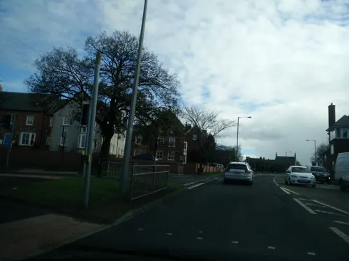
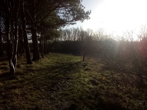
- Mapillary (see each image): photos
- OpenStreetMap contributors (ODbL 1.0): places, airports, map data
- Wikidata (CC0 1.0): elevation, founding date, time zone, website, landmarks and historic places
- Wikimedia Commons (see each image): photos
- Wikipedia (CC BY-SA 4.0): overview and history text
Photo credits
- Durham - Elvet Bridge, Benjamin Smith, CC BY-SA 4.0
- Durham - Framwellgate bridge - 3, Benjamin Smith, CC BY-SA 4.0
- Durham City 30c 20031207 Prebends Bridge 02a, PeterGHughes at English Wikipedia, CC BY 2.5
- North Bailey, Durham (2021-05-27) 24, Simon Cobb, CC0
- Durham Castle, April 2017 (14) (33459522640), Carla Brain, CC BY-SA 2.0
- Durham Heritage Centre, User:Jungpionier (assumed), CC BY-SA 3.0
- Maiden's Bower in May 2024, Aquaquaticat, CC BY 4.0
- Durham Union Palace Green, Uli Harder, CC BY-SA 2.5
- Durham - St Nicholas Church - 1, Benjamin Smith, CC BY-SA 4.0
- Ushaw college, AlexD, CC BY-SA 3.0
- Durham - Castle - 02, Benjamin Smith, CC BY-SA 4.0
- Beaurepaire from the path, Geoffrey Kimball, CC BY-SA 4.0
- Lanchesterroadhospital, Myosotis Scorpioides, CC BY-SA 4.0
- Palace Green Library 2, Durham, Dylan Moore, CC BY-SA 2.0
- Kingsgate Bridge - view of deck from W, Tom Parnell, CC BY-SA 4.0
- Street-level photo, stevenhorner, CC BY-SA 4.0
- Street-level photo, livingwithdragons, CC BY-SA 4.0


Page built November 10, 2026. Spotted a mistake? Tell us or suggest a place.