


Why visit Wragby
Townapedia lists 5 museums and landmarks, 10 places to eat and 1 attraction in and around town.
Weather in Wragby
Forecast from MET Norway (CC BY 4.0). Full forecast
About Wragby
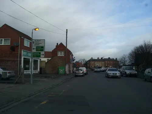
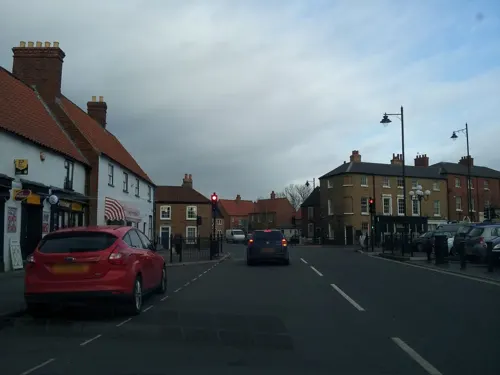
Wragby is a historic market town and civil parish in the East Lindsey district of Lincolnshire, England. It is situated at the junction of the A157 and A158 roads, and approximately 10 miles (16 km) north-west from Horncastle and about 11 miles (18 km) north-east of Lincoln.
From the Wikipedia article Wragby (this version), under CC BY-SA 4.0.
Things to do1

Museums and landmarks5
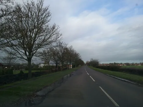

Goltho Hall (archaeological site)
Monument and historic site · 1.3 mi
Goltho Lane
Restaurants and cafes10




Churches and places of worship5
Church of All Saints
Church
Church building in Wragby, East Lindsey, Lincolnshire, England, UK


St George's Church, Goltho
Church · 1.1 mi
Church in West Lindsey, UK
History
The name Wragby derives from the Old Norse wraggibȳ meaning 'Wraggi's village'.
Wragby is named in the Domesday Book as "Waragebi", when it consisted of 23 households, a mill and a church.
The 'Rout Yard', a scheduled monument in the form of two moated islands and associated ditched enclosures, is the remains of a medieval manorial complex. In 1086 there were two manors at Wragby, one in the possession of Erenis of Buron, the other, Waldin the Artificer. The surviving remains possibly represent the Buron manor which held responsibility for a church. The church was dismantled in 1836 when a new church was established closer to the modern village centre. The 18th century brick-built chancel was kept as a cemetery chapel until the 1980s when it too was demolished.
Read more of the history
The ruins of the older church can be seen from the bottom of the cemetery, and are 440 yards (400 m) from the grade II listed All Saints Church which was built in 1839 by W. A. Nicholson. The ruins of the old church are no longer in evidence, but the local history group has marked out the site of the old church and erected information boards. Some artefacts from the old church can be seen in the present day All Saints' Church. The site of the old church and the associated churchyard have been cleared by members of the Wragby Heritage Group, with financial help from the Heritage Lottery Fund. The site of the old church has been marked out, information boards erected and several damaged tombs and headstones repaired. Work is being carried out in order to map out the position and occupants of the gravesites.
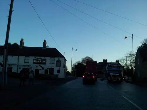
Wragby was a market town and staging centre through a charter dating back to Charles II and requested by the Duke of Buckingham, for one market and two fairs. The market was held on a Thursday, and there was a fair held on 1 May, and 28–29 September. Eggs and butter were still being sold at the market during the early part of the 20th century and the cattle market was still functioning until some time after the Second World War. The market place is now mostly used for car parking and occasional market events. The nearby Adam and Eve Pub mostly holds the markets of Wragby on its car park.
A grammar school founded in 1635, and rebuilt in 1775 are both now in residential use. There was also a Grade II listed windmill, built in 1831. It was powered by six sails until 1903 when it ceased working. The 1887 OS Map shows a second windmill off Victoria Street; however, it has gone in the 1906 map.
The Brady touring company of actors performed here in a temporary theatre in October 1818 before moving on to Bardney.
In 1883 the last European wildcat in England was killed at Bullington Wood, near Wragby.
Over time Wragby has evolved to be a stopping point en route to the coastal town of Skegness, with amenities including three public houses, a fish shop, café and a supermarket. The population of Wragby has expanded though the building of two new housing estates; a third estate began development in late 2009, with completion expected by early 2012. Kier Group initially began the new construction projects after buying-out local homebuilder Hugh Bourn. However, Kier then themselves sold the land and properties to Linden Homes (themselves a subsidiary of Galliford Try), who have continued construction of sites in the town, such as Carpenters Lodge.
The Sinking Ships, a band formed in 1979 known for singing the previously mysterious song 'Strangers', originated from Wragby.
From the History section of Wragby on Wikipedia, under CC BY-SA 4.0.
Shopping3
Schools, colleges and libraries1
Healthcare1
Map of Wragby
26 places. The map loads OpenStreetMap tiles when you open it.
Getting there and nearby towns
RAF Waddington (WTN) is the nearest airport with scheduled flights listed in OpenStreetMap, 12 miles away.
- Lincoln 11 mi west, about 17 min by car
- Louth 13 mi northeast, about 22 min by car
- Sleaford 20 mi south, about 33 min by car
- Gainsborough 20 mi west, about 33 min by car
- Grimsby 22 mi northeast, about 35 min by car
- Cleethorpes 22 mi northeast, about 36 min by car
- Immingham 23 mi north, about 37 min by car
- Mablethorpe 23 mi east, about 38 min by car
- Boston 24 mi southeast, about 39 min by car
- Scunthorpe 25 mi northwest, about 40 min by car
Drive times are estimates from straight-line distance, not routes.
Towns near Wragby


Keep exploring
Local news
Headlines from INDB.
Reviews, tips and questions
Loading what members have shared...
Sources and licences
- GeoNames (CC BY 4.0): population, coordinates, regions and time zone
- Mapillary (see each image): photos
- OpenStreetMap contributors (ODbL 1.0): places, airports, map data
- Wikidata (CC0 1.0): elevation, founding date, time zone, website, landmarks and historic places
- Wikimedia Commons (see each image): photos
- Wikipedia (CC BY-SA 4.0): overview and history text
Photo credits
- Moated site at Wragby, Lincolnshire 01, Dave.Dunford, CC BY-SA 4.0
- Moated site at Wragby, Lincolnshire 02, Dave.Dunford, CC BY-SA 4.0
- Wragby (Lincs) All Saints' church East window (26968983340), Jules & Jenny from Lincoln, UK, CC BY 2.0
- Wragby (Lincs) All Saints' church (26638640323), Jules & Jenny from Lincoln, UK, CC BY 2.0
- Wragby (Lincs) All Saints' church, interior (27147273722), Jules & Jenny from Lincoln, UK, CC BY 2.0
- Wragby (Lincs) All Saints' church, 3D window (26968984300), Jules & Jenny from Lincoln, UK, CC BY 2.0
- Langton by Wragby, St Giles' church (34364429063), Jules & Jenny from Lincoln, UK, CC BY 2.0
- Street-level photo, adam2, CC BY-SA 4.0
- Street-level photo, adam2, CC BY-SA 4.0
- Street-level photo, adam2, CC BY-SA 4.0
- Street-level photo, adam2, CC BY-SA 4.0
- Street-level photo, adam2, CC BY-SA 4.0
- Street-level photo, adam2, CC BY-SA 4.0
- Street-level photo, adam2, CC BY-SA 4.0
Page built November 10, 2026. Spotted a mistake? Tell us or suggest a place.