


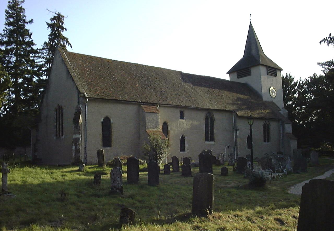

Why visit Tadley
Townapedia lists 7 museums and landmarks, 11 parks and trails, 18 places to eat, 3 places to stay and 2 attractions in and around town.
Highlights include Calleva Atrebatum, The Frith, Padworth Common Local Nature Reserve and Paices Wood Country Parkland.
Weather in Tadley
Forecast from MET Norway (CC BY 4.0). Full forecast
About Tadley
Tadley is a town and civil parish in the Basingstoke and Deane district of Hampshire, England, 5.5 miles (8.9 km) north of Basingstoke and 11 miles (17 km) south west of Reading. The population of Tadley stands around 11,000.
From the Wikipedia article Tadley (this version), under CC BY-SA 4.0.
Travel tips from other travellers: Tadley on Wikivoyage (CC BY-SA 4.0).
Things to do2


Museums and landmarks7

Calleva Atrebatum
Monument and historic site · 2.0 mi
Romano-British town at Silchester, United Kingdom


Parks, trails and playgrounds11


Paices Wood Country Parkland
Park · 2.0 mi
Country park in Berkshire, England




Restaurants and cafes18
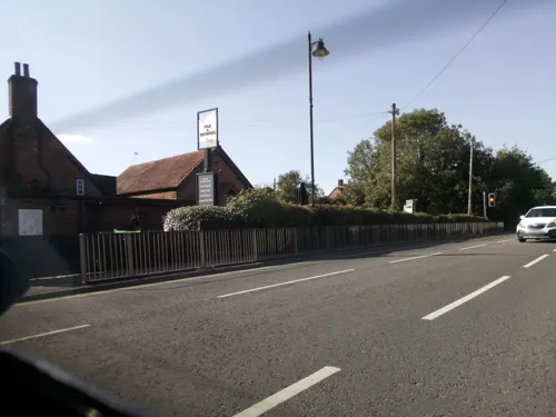
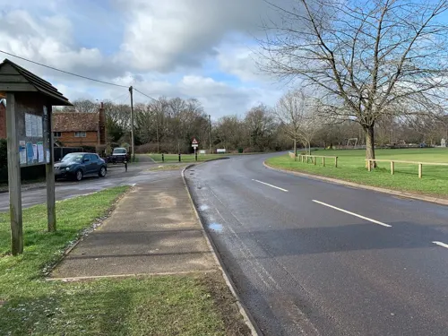
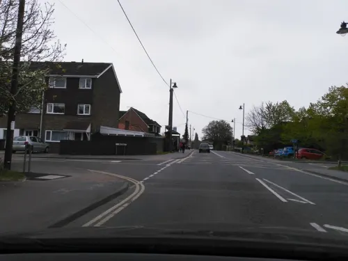
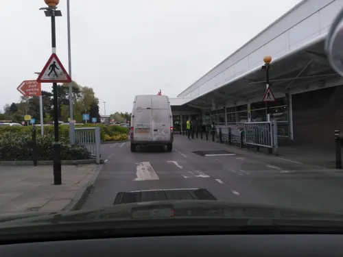


6 more on the map.
History
The origin of the name is uncertain. In old maps and books Tadley can be found spelled as Taddanleage, Tederlei, Titherley, Tudurley, Tadel and Taddeley. As with many other rural British communities, it is assumed that the village began as a clearing in the dense forest which at one time covered the greater part of England. In Old English, Tadde means 'Toad' or 'Frog' and ley being 'a clearing in the woods', so it possibly means "a clearing in the woods with frogs". Most sources, however, say that the name means "woodland clearing of a man called Tada".
In 909, Edward the Elder granted the 'Manor of Overton' to Frithestan, Bishop of Winchester. In the confirmation of this a wood at Tadley is mentioned. The village is mentioned frequently in documents relating to the grant. There was an independent estate in the parish called the 'Manor of Tadley' but later was known as the 'Manor of Withford or Wyford'. In 1166 this property was held by William Hotot. He was succeeded by his son, Robert Hotot in 1205. The first reference to a church at Tadley is in 1286 when Andrew Hotot is recorded as owning the manor and church.
Tadley Place on Church Lane is a Grade II listed building which includes part of the former Tudor manor house. It was the home of the 17th century MP Sir Henry Ludlow.
From the History section of Tadley on Wikipedia, under CC BY-SA 4.0.
More about Tadley
Geography
Tadley lies next to the northern border of Hampshire, where it meets Berkshire.
It is 6 miles (9.7 km) north of Basingstoke, 10 miles (16 km) south west of the town of Reading and 10 miles (16 km) south east of Newbury.
Nearby villages are Aldermaston, Baughurst, Pamber Heath, Heath End, Bramley, Mortimer Common and Silchester.
On the edge of Tadley is a Site of Special Scientific Interest (SSSI) called Ron Ward's Meadow With Tadley Pastures.
Economy
The growth in shopping facilities has been slower than the growth in the population. Though there are shops in small groups throughout the town, there are only two significantly-sized shops, both supermarkets.
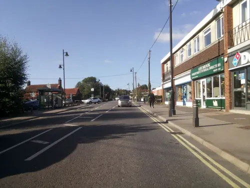
The main shopping areas in Tadley are on Mulfords Hill and Bishopswood Road, though there are isolated shops in other parts of the town and parish. A notable business in Mulfords Hill is that of the Royal Warrant Holder for Besom Brooms and Pea Sticks, also supplying besom brooms for the Harry Potter series of films.
Arts and culture
Hampshire County Council built a new library for Tadley in 1994. It was opened on 12 October 1994 by Dame Mary Fagan, the Lord Lieutenant of Hampshire.
A local legend dating from the late 19th century claims that there were treacle mines located in the village, and until well into the 20th century the locals were referred to as "Tadley Treacle Miners". Tadley holds an annual "Treacle Fair" in honour of this legend in early June. It is organised by the Loddon Valley Lions Club, a member of Lions Club International.
Education
Children aged 11 to 16 that receive state-funded education are likely to attend The Hurst School, though this school is actually located in the adjacent village of Baughurst.
Primary schools in the area include Bishopswood Infant and Junior Schools, Burnham Copse Primary School, Silchester Church of England Primary School, Tadley Community Primary School, and The Priory Primary School.
From the Wikipedia article Tadley, under CC BY-SA 4.0.
Notable people from Tadley
- Nick ArnoldEnglish Footballer
Born in Tadley, according to Wikidata (CC0). Each name links to its Wikipedia article.
Where to stay3
Churches and places of worship15
Shopping4
Gas and EV charging2
Schools, colleges and libraries6
Healthcare2
Map of Tadley
70 places. The map loads OpenStreetMap tiles when you open it.
Getting there and nearby towns
RAF Odiham (ODH) is the nearest airport with scheduled flights listed in OpenStreetMap, 11 miles away.
- Basingstoke 6 mi south, about 10 min by car
- Thatcham 7 mi northwest, about 11 min by car
- Reading 10 mi northeast, about 16 min by car
- Wallingford 17 mi north, about 28 min by car
- Wantage 21 mi northwest, about 34 min by car
- Woking 25 mi east, about 40 min by car
- Slough 25 mi northeast, about 41 min by car
- High Wycombe 25 mi northeast, about 41 min by car
- Windsor 25 mi east, about 40 min by car
- Oxford 28 mi north, about 46 min by car
Drive times are estimates from straight-line distance, not routes.
Towns near Tadley


Keep exploring
Local news
Headlines from INDB.
Reviews, tips and questions
Loading what members have shared...
Sources and licences
- GeoNames (CC BY 4.0): population, coordinates, regions and time zone
- Mapillary (see each image): photos
- OpenStreetMap contributors (ODbL 1.0): places, airports, map data
- Wikidata (CC0 1.0): elevation, founding date, time zone, website, landmarks and historic places
- Wikimedia Commons (see each image): photos
- Wikipedia (CC BY-SA 4.0): overview and history text
Photo credits
- TadleyShopping, Alan Pascoe, CC BY-SA 3.0
- Silchester Roman city walls 21, Simon Burchell, CC BY-SA 4.0
- Padworth common, Nathan Harvey, CC BY-SA 4.0
- St James church, Bramley 01, BabelStone, CC BY-SA 4.0
- StMarysAldermaston, Alan Pascoe, CC BY-SA 3.0
- Hillfort near Pond Farm, Mortimer West End 01, Simon Burchell, CC BY-SA 4.0
- StPetersTadley, Alan Pascoe, CC BY-SA 3.0
- Spillway at Paices Wood Country Parkland - panoramio, mattgirling, CC BY-SA 3.0
- Street-level photo, southglos, CC BY-SA 4.0
- Street-level photo, jpennycook, CC BY-SA 4.0
- Street-level photo, southglos, CC BY-SA 4.0
- Street-level photo, kabads, CC BY-SA 4.0
- Street-level photo, southglos, CC BY-SA 4.0
- Street-level photo, southglos, CC BY-SA 4.0
- Street-level photo, 4004, CC BY-SA 4.0
- Street-level photo, kabads, CC BY-SA 4.0
- Street-level photo, kabads, CC BY-SA 4.0
- Street-level photo, southglos, CC BY-SA 4.0
- Street-level photo, southglos, CC BY-SA 4.0
- Street-level photo, southglos, CC BY-SA 4.0
- Street-level photo, bomdan, CC BY-SA 4.0
- Street-level photo, kabads, CC BY-SA 4.0
- Street-level photo, southglos, CC BY-SA 4.0
- Street-level photo, southglos, CC BY-SA 4.0
- Street-level photo, kabads, CC BY-SA 4.0
- Street-level photo, kabads, CC BY-SA 4.0
- Street-level photo, jpennycook, CC BY-SA 4.0
- Street-level photo, 4004, CC BY-SA 4.0
- Street-level photo, kabads, CC BY-SA 4.0
- Street-level photo, jpennycook, CC BY-SA 4.0
- Street-level photo, jpennycook, CC BY-SA 4.0

Page built November 10, 2026. Spotted a mistake? Tell us or suggest a place.