

Phanat Nikhom, Thailand
เทศบาลเมืองพนัสนิคม
Phanat Nikhom is a town of 21,924 people in Chon Buri, Thailand.
Why visit Phanat Nikhom
Townapedia lists 1 museum or landmark, 1 park or trail, 22 places to eat and 2 places to stay in and around town.
Weather in Phanat Nikhom
Forecast from MET Norway (CC BY 4.0). Full forecast
Museums and landmarks1
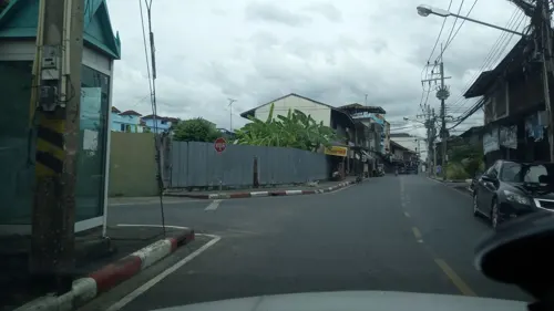
Parks, trails and playgrounds1

Restaurants and cafes22
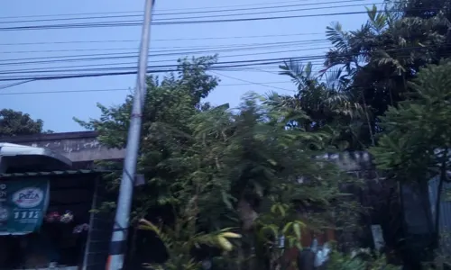
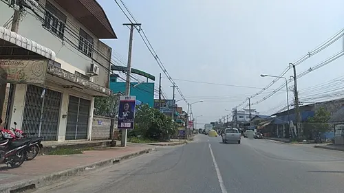
ร้านข้าวต้มปลา เจ๊งอน โพธิ์ตาก
Restaurant · Thai · 1.0 km
Mo-Su 17:00-24:00
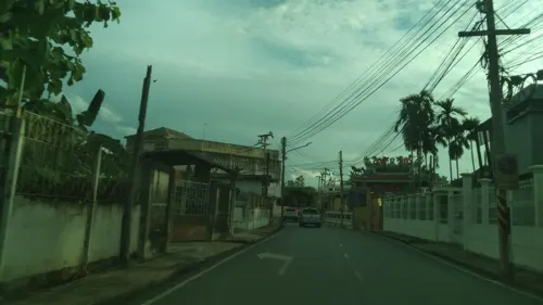
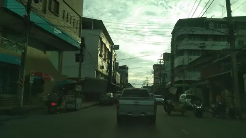
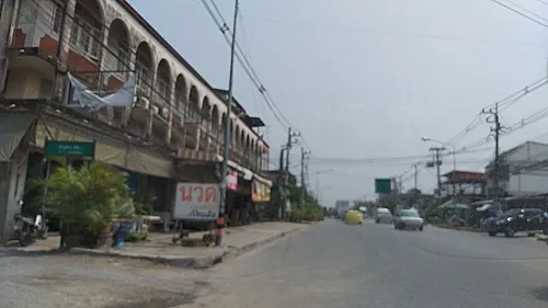
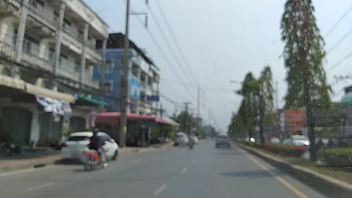
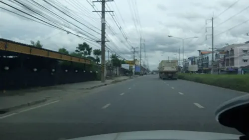

10 more on the map.
Where to stay2
PraPaWan Apartment
Motel and hotel · 1.2 km
Rooms to rent per day or per month. No food provided, but several food shops nearby.
Churches and places of worship6
Schools, colleges and libraries2
Healthcare3
Map of Phanat Nikhom
37 places. The map loads OpenStreetMap tiles when you open it.
Getting there and nearby towns
Suvarnabhumi Airport (BKK) is the nearest airport with scheduled flights listed in OpenStreetMap, 54 km away.
- Chon Buri 24 km southwest, about 24 min by car
- Si Racha 41 km southwest, about 41 min by car
- Lat Krabang 53 km northwest, about 53 min by car
- Nong Chok 57 km northwest, about 57 min by car
- Samut Prakan 66 km west, about 1 h by car
- Suan Luang 66 km northwest, about 1 h by car
- Pattaya 66 km southwest, about 1 h by car
- Khlong Sam Wa 68 km northwest, about 1 h 15 min by car
- Bueng Kum 67 km northwest, about 1 h by car
- Bang Kapi 68 km northwest, about 1 h 15 min by car
Drive times are estimates from straight-line distance, not routes.
Towns near Phanat Nikhom


Keep exploring
Local news
Headlines from INDB.
Reviews, tips and questions
Loading what members have shared...
Sources and licences
- GeoNames (CC BY 4.0): population, coordinates, regions and time zone
- Mapillary (see each image): photos
- OpenStreetMap contributors (ODbL 1.0): places, airports, map data
- Wikidata (CC0 1.0): elevation, founding date, time zone, website
- Wikimedia Commons (see each image): photos
Photo credits
- Phanat Nikhom, Phanat Nikhom District, Chon Buri 20140, Thailand - panoramio, Somphot Uanbang, CC BY 3.0
- Street-level photo, ozflor, CC BY-SA 4.0
- Street-level photo, koki2529, CC BY-SA 4.0
- Street-level photo, ozflor, CC BY-SA 4.0
- Street-level photo, koki2529, CC BY-SA 4.0
- Street-level photo, ozflor, CC BY-SA 4.0
- Street-level photo, ozflor, CC BY-SA 4.0
- Street-level photo, ozflor, CC BY-SA 4.0
- Street-level photo, ozflor, CC BY-SA 4.0
- Street-level photo, myppmy, CC BY-SA 4.0
- Street-level photo, myppmy, CC BY-SA 4.0
- Street-level photo, koki2529, CC BY-SA 4.0
- Street-level photo, ozflor, CC BY-SA 4.0
- Street-level photo, ozflor, CC BY-SA 4.0
- Street-level photo, ozflor, CC BY-SA 4.0
- Street-level photo, ozflor, CC BY-SA 4.0
- Street-level photo, myppmy, CC BY-SA 4.0
- Street-level photo, myppmy, CC BY-SA 4.0
- Street-level photo, ozflor, CC BY-SA 4.0
- Street-level photo, ozflor, CC BY-SA 4.0
- Street-level photo, ozflor, CC BY-SA 4.0
- Street-level photo, ozflor, CC BY-SA 4.0
- Street-level photo, ozflor, CC BY-SA 4.0
Page built November 10, 2026. Spotted a mistake? Tell us or suggest a place.