


Why visit Paşamandıra
Townapedia lists 4 parks and trails and 1 place to eat in and around town.
Weather in Paşamandıra
Forecast from MET Norway (CC BY 4.0). Full forecast
About Paşamandıra
Paşamandıra is a neighborhood in the district of Beykoz, on the Anatolian side of Istanbul, Turkey. Its population is 1,373 (2026).
From the Wikipedia article Paşamandıra (this version), under CC BY-SA 4.0.
Parks, trails and playgrounds4


Restaurants and cafes1


Churches and places of worship4

Shopping1

History
In the last half of the 19th century, Abraham Pasha (Abraham Eremyan) acquired ownership of large tracts of land in Beykoz. However, Abraham Pasha later experienced financial difficulties, and rumors reached that Ottoman state that he might sell his land to Russians. In 1887, a decree was issued authorizing a formal survey of his lands, in which the area now known as Paşamandıra seems to have been listed as Paşa Manda Çiftliği (Pasha Water Buffalo Farm). The survey was completed in 1890, and in 1891, the lands were taken into the sultan's private treasury (Hazîne-i Hâssa).
In 1895, while seeking land on which to settle refugees (muhacir) from Bosnia, the Ottoman state scrutinized land in Beykoz previously belonging to Abraham Pasha. The portion known as Paşa Mandıra was deemed unsuitable because of its poor weather, lack of drinking water, and proneness to winter flooding. Nevertheless, in 1908, refugees from Romania requested settlement in Paşa Mandıra; it is not clear whether the state granted their request.
The present village was founded after the 1923 Population Exchange, with the settlement of 800 Muslims from Greece. Eventually, however, these settlers moved elsewhere, and the village was settled in the 1950s by migrants from the regions of Kastamonu and Trabzon.
From the History section of Paşamandıra on Wikipedia, under CC BY-SA 4.0.
Schools, colleges and libraries3
Map of Paşamandıra
13 places. The map loads OpenStreetMap tiles when you open it.
Getting there and nearby towns
Sabiha Gökçen International Airport (SAW) is the nearest airport with scheduled flights listed in OpenStreetMap, 33 km away.
- Dereseki 11 km west, about 11 min by car
- Akbaba 12 km west, about 12 min by car
- Rumelifeneri 13 km northwest, about 13 min by car
- Zekeriya 18 km west, about 18 min by car
- Uskumruköy 19 km west, about 19 min by car
- Sancaktepe 20 km south, about 20 min by car
- Ümraniye 21 km southwest, about 21 min by car
- Bahçeköy 22 km west, about 22 min by car
- Üsküdar 27 km southwest, about 27 min by car
- Istanbul 31 km southwest, about 31 min by car
Drive times are estimates from straight-line distance, not routes.
Local news
Headlines from INDB.
Reviews, tips and questions
Loading what members have shared...
Sources and licences
- GeoNames (CC BY 4.0): population, coordinates, regions and time zone
- Mapillary (see each image): photos
- OpenStreetMap contributors (ODbL 1.0): places, airports, map data
- Wikidata (CC0 1.0): elevation, founding date, time zone, website
- Wikimedia Commons (see each image): photos
- Wikipedia (CC BY-SA 4.0): overview and history text
Photo credits
- Camocagi 1070837 - 1070870, Nevit Dilmen, CC BY-SA 3.0
- Camocagi 1070817 1070830, Nevit Dilmen ( talk ), CC BY-SA 3.0
- Camocagi 1070761 1070773, Nevit Dilmen, CC BY-SA 3.0
- Camocagi 1080143 1080151, Nevit Dilmen, CC BY-SA 3.0
- Camocagi 1070872 1070924, Nevit Dilmen, CC BY-SA 3.0
- Riva deresi 1080232 1080262, Nevit Dilmen, CC BY-SA 3.0
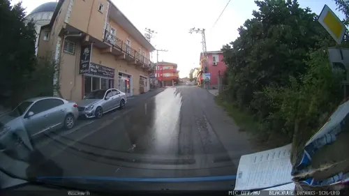
- Street-level photo, yercizenler, CC BY-SA 4.0
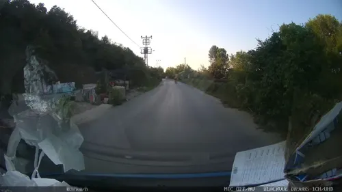
- Street-level photo, yercizenler, CC BY-SA 4.0
Page built November 8, 2026. Spotted a mistake? Tell us or suggest a place.