


Why visit Tepetarla
Townapedia lists 4 museums and landmarks, 4 parks and trails and 1 place to eat in and around town.
Highlights include Amycus, Chelae and İstanbul Kelebek Çiftliği.
Weather in Tepetarla
Forecast from MET Norway (CC BY 4.0). Full forecast
About Tepetarla
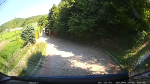
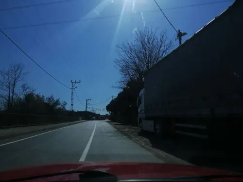
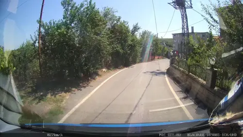
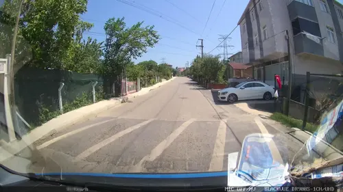
Örnekköy is a neighborhood in the municipality and district of Beykoz, Istanbul Province, Turkey. It is situated on steep slopes in the forests of the Anatolian (Asian) side of Istanbul, in an active landslide area. Its population is 4,345 (2026).
From the Wikipedia article Örnekköy (this version), under CC BY-SA 4.0.
Museums and landmarks4

Amycus
Monument and historic site · 4.7 km
Ancient city of Bithynia, in modern-day Turkey
Chelae
Monument and historic site · 5.3 km
Ancient coastal settlement on the Bosphorus
Moukaporis
Monument and historic site · 5.4 km
Ancient city of Bithynia, in modern-day Turkey
Palodes
Monument and historic site · 4.5 km
Ancient city of Bithynia, in modern-day Turkey
Parks, trails and playgrounds4

Restaurants and cafes1

Churches and places of worship9


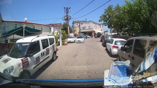


History
Starting in the 1950s, employees of large factories in the area, such as Paşabahçe Glass, began settling in forested areas of Beykoz east of Elmalı. This neighborhood was made administratively separate from Elmalı in 2001 and named Örnekköy. At various times, internal migrants from the Black Sea region, including Rize, Kastamonu, Trabzon, and Giresun, settled in Örnekköy.
From the History section of Örnekköy on Wikipedia, under CC BY-SA 4.0.
Gas and EV charging1
Map of Tepetarla
19 places. The map loads OpenStreetMap tiles when you open it.
Getting there and nearby towns
Sabiha Gökçen International Airport (SAW) is the nearest airport with scheduled flights listed in OpenStreetMap, 31 km away.
- Dereseki 2 km northwest, about 2 min by car
- Akbaba 3 km west, about 3 min by car
- Rumelifeneri 10 km north, about 10 min by car
- Zekeriya 11 km northwest, about 11 min by car
- Uskumruköy 13 km northwest, about 13 min by car
- Bahçeköy 14 km west, about 14 min by car
- Ümraniye 14 km south, about 14 min by car
- Sancaktepe 17 km southeast, about 17 min by car
- Üsküdar 17 km southwest, about 17 min by car
- Istanbul 22 km southwest, about 22 min by car
Drive times are estimates from straight-line distance, not routes.
Local news
Headlines from INDB.
Reviews, tips and questions
Loading what members have shared...
Sources and licences
- GeoNames (CC BY 4.0): population, coordinates, regions and time zone
- Mapillary (see each image): photos
- OpenStreetMap contributors (ODbL 1.0): places, airports, map data
- Wikidata (CC0 1.0): elevation, founding date, time zone, website, landmarks and historic places
- Wikimedia Commons (see each image): photos
- Wikipedia (CC BY-SA 4.0): overview and history text
Photo credits
- II. Mahmut Çeşmesi, Dereseki IMG 3281, Ali Osman Dilekoğlu, CC BY-SA 4.0
- Molla Fenari Camii IMG 3304, Ali Osman Dilekoğlu, CC BY-SA 4.0
- II. Mahmut Çeşmesi, Dereseki IMG 3278, Ali Osman Dilekoğlu, CC BY-SA 4.0
- II. Mahmut Çeşmesi, Dereseki IMG 3288, Ali Osman Dilekoğlu, CC BY-SA 4.0
- Molla Fenari Camii IMG 3308, Ali Osman Dilekoğlu, CC BY-SA 4.0
- Kırklar Sultan Türbesi 2024-04-27 16.40.45 1793268209, Canercangul, CC BY-SA 4.0
- Tarihi Karakulak emesi 1761587991, Mkurtel, CC BY-SA 4.0
- Street-level photo, yercizenler, CC BY-SA 4.0
- Street-level photo, yercizenler, CC BY-SA 4.0
- Street-level photo, yercizenler, CC BY-SA 4.0
- Street-level photo, yercizenler, CC BY-SA 4.0
- Street-level photo, nazif, CC BY-SA 4.0
- Street-level photo, ferahkoksal, CC BY-SA 4.0

Page built November 8, 2026. Spotted a mistake? Tell us or suggest a place.