


Why visit Ahaus
Townapedia lists 116 museums and landmarks, 42 parks and trails, 128 places to eat, 20 places to stay and 7 attractions in and around town.
Highlights include Cinema Center, Schloss Ahaus, Haus Horst and Barenborg.
Weather in Ahaus
Forecast from MET Norway (CC BY 4.0). Full forecast
About Ahaus
Ahaus (German pronunciation: [ˈaːhaʊs] ; Westphalian: Ausen) is a town in the district of Borken in the state of North Rhine-Westphalia, Germany. It is located near the border with the Netherlands, lying some 20 km south-east of Enschede and 15 km south from Gronau. Ahaus is the location of one of Germany's interim storage facilities for radioactive spent fuel.
From the Wikipedia article Ahaus (this version), under CC BY-SA 4.0.
Photos of Ahaus


Things to do7




Museums and landmarks116


Schlacht bei Stadtlohn
Monument and historic site · 8.1 km
Blotkamp / Blotfeld: Zentrum der Schlacht, Pulverkuhlen, Musketiere und Pikeniere
Schlacht bei Stadtlohn
Monument and historic site · 9.0 km
Östliches Schlachtfeld, Dodo zu Inn- und Knyphausen, Graf von Anholt, Artillerie
Schlacht bei Stadtlohn
Monument and historic site · 9.1 km
Westliches Schlachtfeld, Graf von Pappenheim, Graf von Limburg-Styrum, Kavallerie




Telefonhäuschen
Monument and historic site · 9.3 km
In historischem Stil erbaute Telefonzelle des Typs TelH 90 Sh, in der Farbgebung gelb-schwarz. Wurde 2018 von der Stadt Legden erworben...
104 more on the map.
Parks, trails and playgrounds42



30 more on the map.
Restaurants and cafes128
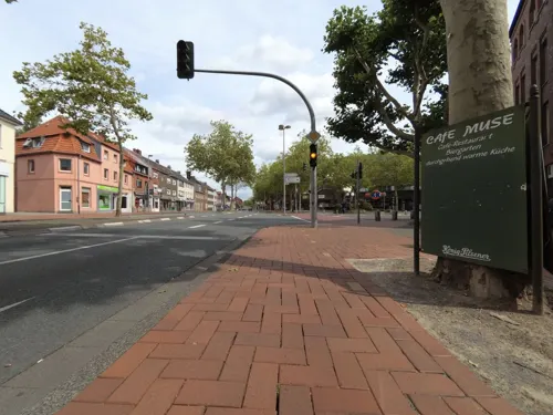

Verweyen
Bakery · 2.6 km
22 Stadtlohner Straße, Ahaus
Mo-Fr 06:00-18:00; Sa 06:00-16:30; Su, PH 07:00-17:00
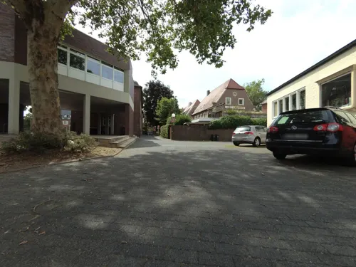
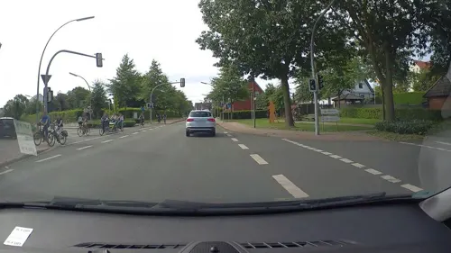
Backshop Verweyen
Cafe · 3.0 km
20 Hamalandstraße, Ahaus
Mo-Fr 06:00-18:00; Sa 06:00-16:30; Su, PH 07:00-17:00
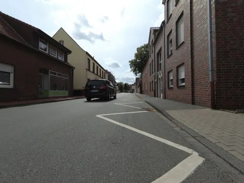
Bäckerei und Konditorei Rawers
Bakery · 0.7 km
17 Wessumer Straße, Ahaus
Mo-Fr 06:30-18:30; Sa 06:30-16:00; Su 07:30-16:30
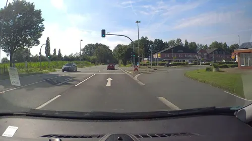

Cafe Mühle Hovestadt
Cafe · Coffee Shop, Ice Cream, Regional, Cake · 4.2 km
33 Kirchweg, Heek-Ahle
We-Th 14:30-22:00; Fr-Sa 14:30-24:00; Su 11:00-18:00

Mongolei Asiatisches Restaurant
Restaurant · Asian
32 Ridderstraße, Ahaus
Mo-Sa 11:50-15:00, 17:30-23:00;Su 12:00-23:00
Achilles -Der Grieche-
Restaurant · Greek · 3.3 km
Greek Specialities Restaurant
20 Jakobistraße, Ahaus
17:00+; Su,PH 11:30-14:00,17:00+; Tu off

Effing
Bakery · 3.1 km
11 Kirchplatz, Ahaus
Mo 06:00-12:00, Th-Fr 06:30-12:30; Sa 06:30-12:30; Su,PH 08:00-11:00

WALLst
Bar and pub · 0.8 km
WALLst – Ein neues Showcase der Tobit Labs in der Digitalstadt Ahaus. Bei uns trefft ihr Gleichgesinnte, die ihr Wissen aus den...
46 Wallstraße, Ahaus
Th-Sa 17:00+
116 more on the map.
History
The first written mention of the aristocratic seat of Haus an der Aa dates from around 1030. Around 1120, Bernhard von Diepenheim commissioned the construction of the predecessor to the present-day Ahaus Castle. In 1154, his son Lifhard called himself von Ahaus for the first time. The lords of Ahaus belonged to the smaller noble dynasties in Westphalia in the wider environment of the Munster bishops. They got into a fight with them in 1176 when the nobleman Johann von Ahaus gave his castle as a fief to the Archbishop of Cologne. In 1177, however, John had to surrender to Prince Bishop Hermann II of Münster. The castles of Ahaus and Diepenheim, which belonged to the noble lords of Ahaus, were destroyed. Nevertheless, the noble lords remained in possession of their rule.
In 1389 the noble lords of Ahaus granted the castle settlement an excise privilege. Two years later, Ahaus received city rights. In 1406, the Prince-Bishop of Münster, Otto IV von Hoya, bought the lordship of Ahaus and incorporated it into the Bishopric of Münster. It was combined by the Bishopric of Münster together with 24 parishes, which extended over large parts of West Münsterland, to form the Amt of Ahaus. It lasted until it was dissolved by the Reichsdeputationshauptschluss in 1803.
From the History section of Ahaus on Wikipedia, under CC BY-SA 4.0.
Notable people from Ahaus
 Jens SpahnGerman politicianPhoto: Martin Rulsch , Wikimedia Commons, CC BY-SA 4.0
 Stefan TheskerGerman footballerPhoto: Fakwes, CC BY-SA 3.0
 Miká HemingGerman cyclistPhoto: Nicola, CC BY-SA 4.0
 Heike WermerGerman politicianPhoto: Bratwurststand, CC BY-SA 4.0
 Jid OkekeGerman footballer (born 2004)Photo: Timmy96, CC0
- Urszula RadwańskaPolish tennis player
- Fabian HerbersGerman footballer
- Friedrich KöchlingGerman General and Knight's Cross recipients (1893-1970)
- Michael DenhoffGerman composer and cellist
- Melanie BeckerGerman physicist (1966-2020)
Born in Ahaus, according to Wikidata (CC0). Each name links to its Wikipedia article.
Where to stay20
Churches and places of worship18
St. Margareta
Church · Roman Catholic · 9.3 km
1 An der Kirche, Legden
Shopping38
Gas and EV charging20
Schools, colleges and libraries27
Healthcare14
Map of Ahaus
250 places. The map loads OpenStreetMap tiles when you open it.
Getting there and nearby towns
Münster Osnabrück Airport (FMO) is the nearest airport with scheduled flights listed in OpenStreetMap, 46 km away.
- Heek 7 km northeast, about 7 min by car
- Legden 8 km southeast, about 8 min by car
- Stadtlohn 11 km southwest, about 11 min by car
- Vreden 13 km west, about 13 min by car
- Gronau 15 km north, about 15 min by car
- Gescher 14 km south, about 14 min by car
- Schöppingen 15 km east, about 15 min by car
- Metelen 15 km northeast, about 15 min by car
- Coesfeld 18 km southeast, about 18 min by car
- Südlohn 18 km southwest, about 18 min by car
Drive times are estimates from straight-line distance, not routes.
Towns near Ahaus


Keep exploring
Local news
Headlines from INDB.
Reviews, tips and questions
Loading what members have shared...
Sources and licences
- GeoNames (CC BY 4.0): population, coordinates, regions and time zone
- Mapillary (see each image): photos
- OpenStreetMap contributors (ODbL 1.0): places, airports, map data
- Wikidata (CC0 1.0): elevation, founding date, time zone, website
- Wikimedia Commons (see each image): photos
- Wikipedia (CC BY-SA 4.0): overview and history text
Photo credits
- Ahaus, Ortsansicht -- 2014 -- 2372, Dietmar Rabich, CC BY-SA 4.0
- Büro BI Ahaus, Tetzemann, CC0
- Bahnhof Ahaus Gleisunterführung, Tetzemann, CC0
- Bahnhof Ahaus Unterführung, Tetzemann, CC0
- Bahnhof Ahaus DBService, Tetzemann, CC0
- Wandbild Ahaus, Tetzemann, CC0
- Bahnhof Ahaus Radständer, Tetzemann, CC0
- Teehäuschen Ahaus mit Garten, Tetzemann, CC0
- Bahnhof Ahaus Busbahnhof, Tetzemann, CC0
- Schloss Ahaus - panoramio, Edgar El, CC BY 3.0
- Schloss Ahaus - panoramio (4), giggel, CC BY 3.0
- Abendstimmung am Schloss Ahaus - panoramio, giggel, CC BY 3.0
- Die Kirche St. Mariä Himmelfahrt in Ahaus - panoramio (1), giggel, CC BY 3.0
- Schloss Ahaus - panoramio (2), Edgar El, CC BY 3.0
- Schloss Ahaus - panoramio (3), giggel, CC BY 3.0
- Schloss Ahaus - panoramio (5), giggel, CC BY 3.0
- Springbrunnen Schlosspark Ahaus, Tetzemann, CC0
- Schloss Ahaus - panoramio (1), Edgar El, CC BY 3.0
- Evangelische Christuskirche Ahaus - panoramio, Edgar El, CC BY 3.0
- Pavillonturm Schloss Ahaus, Tetzemann, CC0
- 20170520 Schloss Ahaus, Torhäuser, Ahaus (08129), Günter Seggebäing, Coesfeld, CC BY-SA 3.0
- Ahaus, Schloss Ahaus Dm IMG 0426 2024-03-31 16.18, Michielverbeek, CC BY 4.0
- 20170520 Schloss Ahaus, Torhäuser, Ahaus (08126), Günter Seggebäing, Coesfeld, CC BY-SA 3.0
- 20170520 Schloss Ahaus, Triumphtor, Ahaus (08125), Günter Seggebäing, Coesfeld, CC BY-SA 3.0
- 20170520 Schloss Ahaus, Hauptgebäude, Ahaus (08122), Günter Seggebäing, Coesfeld, CC BY-SA 3.0
- 20170520 Schloss Ahaus, Mittelrisalit Hauptgebäude, Ahaus (08124), Günter Seggebäing, Coesfeld, CC BY-SA 3.0
- 20170520 Schloss Ahaus, Amtsgericht, Ahaus (08132), Günter Seggebäing, Coesfeld, CC BY-SA 3.0
- 20170520 Schloss Ahaus, Triumphtor, Ahaus (08118), Günter Seggebäing, Coesfeld, CC BY-SA 3.0
- 20170520 Schloss Ahaus, Tor zur Hauptinsel, Ahaus (08117), Günter Seggebäing, Coesfeld, CC BY-SA 3.0
- 20170520 Schloss Ahaus, Amtsgericht, Ahaus (08131), Günter Seggebäing, Coesfeld, CC BY-SA 3.0
- 20170520 Schloss Ahaus, Ahaus (08120), Günter Seggebäing, Coesfeld, CC BY-SA 3.0
- 20170520 Schloss Ahaus, Gebäude der Vorburg, Ahaus (08116), Günter Seggebäing, Coesfeld, CC BY-SA 3.0
- Ahaus, toren van Vorburg zum Schloß Dm IMG 0413 2024-03-31 16.11, Michielverbeek, CC BY 4.0
- Skulptur vor der Kirche St. Mariä Himmelfahrt in Ahaus - panoramio, giggel, CC BY 3.0
- Turmuhr Ahaus, Tetzemann, CC0
- Die Kirche St. Mariä Himmelfahrt in Ahaus - panoramio, Edgar El, CC BY 3.0
- 20170520 Schloss Ahaus, Eckpavillon, Ahaus (08147), Günter Seggebäing, Coesfeld, CC BY-SA 3.0
- Schlacht bei Stadtlohn, Unknown author, Public domain
- Ahaus, Schloss Ahaus -- 2014 -- 2353 -- Ausschnitt, Dietmar Rabich, CC BY-SA 4.0
- Haus Egelborg, von Südosten, PD70, CC BY-SA 3.0
- Düstermühle in Legden-Wehr, Muehlenbernd, CC BY-SA 3.0
- Ehemalige Gebetshalle, jetzt Kriegerehrenmal, in Wessum, Muehlenbernd, CC BY-SA 3.0 de
- Katholische Kirche Alstätte, Tubantia, CC BY-SA 3.0
- Pfarrkirche-St-Georg-Ottenstein, Konrad, CC BY-SA 3.0
- Wüllen, Katholischen Kirche Sint Adreas foto1 2007-04-01 11.19-2, Wüllen,_Katholischen_Kirche_Sint_Adreas_foto1_2007-04-01_11.19.JPG : Michielverbeek derivative work: Rabanus Flavus ( talk ), CC BY-SA 3.0
- St-brigida-legden-perspektive-1, HendrikB., CC BY-SA 3.0
- Kath. Pfarrkirche St. Martinus in Wessum, Muehlenbernd, CC BY-SA 3.0 de
- AsbeckMargaretaAussen4, Netzhering, CC BY-SA 3.0
- Ahaus Marienkirche, Redaktor, Public domain
- Bohlenweg Schwattet Gatt, Spunkinho, CC BY-SA 3.0
- Heek, die katholische Pfarrkirche Heek Dm3 foto9 2016-04-03 15.17, Michielverbeek, CC BY-SA 4.0
- Ahaus Josefskirche, Redaktor, Public domain
- Haus Horst Nordseite 2020, Wolf200, CC BY-SA 4.0
- Heek Nienborg - Burg - Peter+Paul ex 03 ies, Frank Vincentz, CC BY-SA 3.0
- Graes Kirche, Ben2841, CC BY-SA 4.0
- 20140720 120354 Barenborg, Rosendahl (DSC04682), Günter Seggebäing, Coesfeld, CC BY-SA 3.0
- Liesner Wald, Tetzemann, CC0
- Kiefer in der Hörsteloer Wacholderheide, Ahaus (09787), Günter Seggebäing, Coesfeld, CC BY-SA 3.0
- Hohes Haus, Nienborg (08517), Günter Seggebäing, Coesfeld, CC BY-SA 3.0
- Street-level photo, peewee32, CC BY-SA 4.0
- Street-level photo, peewee32, CC BY-SA 4.0
- Street-level photo, rororo, CC BY-SA 4.0
- Street-level photo, poxonline, CC BY-SA 4.0
- Street-level photo, cAble_Guy, CC BY-SA 4.0
- Street-level photo, poxonline, CC BY-SA 4.0
- Street-level photo, rororo, CC BY-SA 4.0
- Street-level photo, peewee32, CC BY-SA 4.0
- Street-level photo, poxonline, CC BY-SA 4.0
- Street-level photo, poxonline, CC BY-SA 4.0
- Street-level photo, XTerminator01, CC BY-SA 4.0
- Street-level photo, poxonline, CC BY-SA 4.0
- Street-level photo, cAble_Guy, CC BY-SA 4.0
- Street-level photo, poxonline, CC BY-SA 4.0
- Street-level photo, gdm, CC BY-SA 4.0


Page built November 9, 2026. Spotted a mistake? Tell us or suggest a place.