


Why visit Südlohn
Townapedia lists 30 museums and landmarks, 17 parks and trails, 49 places to eat, 9 places to stay and 2 attractions in and around town.
Highlights include Hof Börger, Gutshof Schulze-Hessing, Wellenhäuschen and Heimathaus Weseke.
Weather in Südlohn
Forecast from MET Norway (CC BY 4.0). Full forecast
About Südlohn
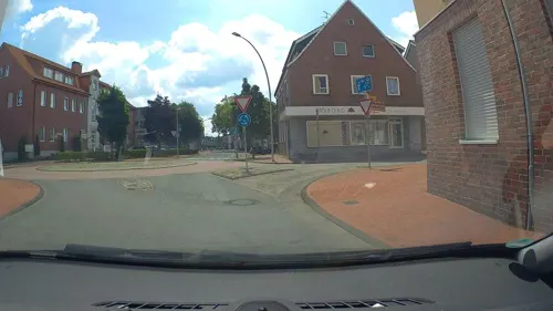
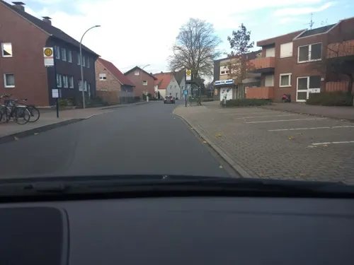
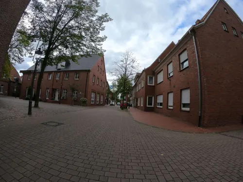
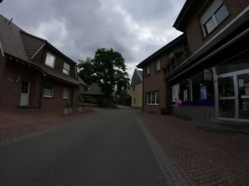
Südlohn (German pronunciation: [ˈzyːtloːn], lit. 'South Lohn', in contrast to "North Lohn") is a municipality in the district of Borken in the northwestern part of North Rhine-Westphalia, Germany. It is located right at the border with the Netherlands, approx. 10 km east of Winterswijk. It consists of the villages Südlohn and Oeding.
From the Wikipedia article Südlohn (this version), under CC BY-SA 4.0.
Things to do2
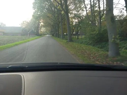
Hof Börger
Farm and orchard · 4.9 km
4 Börgersweg, Borken
Mo-Fr 08:30-18:00; Sa 08:30-14:00; Tu,Su,PH off

Museums and landmarks30

Wellenhäuschen
Monument and historic site · 4.8 km
Wellhäuschen über der Holtbachquelle, um 1900
Hauptstraße, Borken

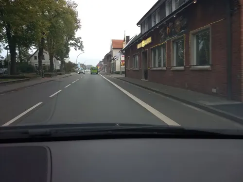
Bürgerhaus
Monument and historic site · 4.0 km
Bürgerhaus Oeding
4 Jakobistraße, Südlohn

Villa Rüweling
Monument and historic site · 3.9 km
Fabrikantenvilla aus der Mitte des 19. Jh.
12 Jakobistraße, Südlohn




18 more on the map.
Parks, trails and playgrounds17




Garten Picker
Park · 5.3 km
Tu,We,Fr 09:30-12:30,14:00-18:00; Th 09:30-12:30,14:00-21:00; Sa...

5 more on the map.
Restaurants and cafes49

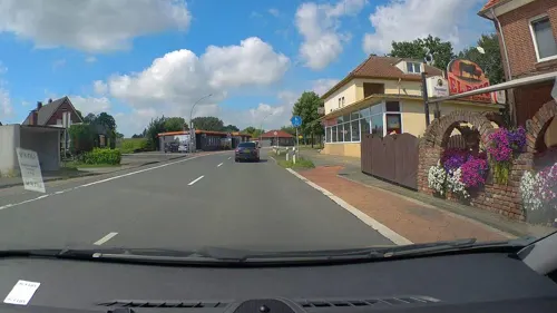
El Paso
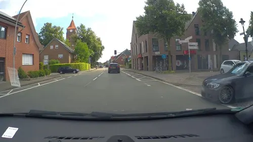
Restaurant · Steak House · 4.9 km
62 Winterswyker Straße, Südlohn
Mo-Th 11:30-14:30, 17:00-22:00; Fr,Sa 11:30-14:30, 17:00-24:00; Su...
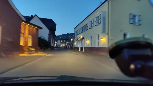
Gasthof Enning
Restaurant · German · 4.1 km
26 Hauptstraße, Borken
We-Fr 17:00+; Sa,Su 15:00+; Mo,Tu off
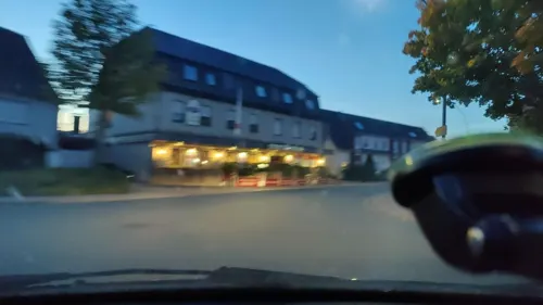
La Villa
Restaurant · Pizza, Italian · 4.0 km
4 Südlohner Straße, Borken
Tu-Sa 17:30-23:00; Su,PH 12:00-15:00,17:30-23:00; Mo off
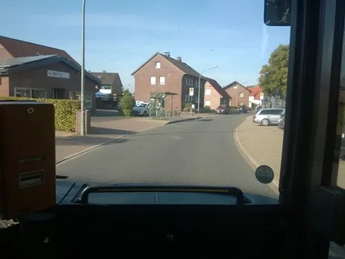
Pizzeria Verona
Restaurant · Pizza · 4.1 km
13 Schlückersring, Borken
Tu-Sa 17:00-22:00; Su 16:00-22:00; Mo off
Ristorante da Fabio
Restaurant · Italian
3 Kirchstraße, Südlohn
Mo,Tu,Th,Fr 17:00-21:30; Sa,Su 12:00-14:00, 17:30-21:30; We off

Brot- und Feinbäckerei Späker
Bakery · 3.8 km
1 Büningsweg, Borken
Mo-Fr 06:00-18:00; Sa 06:00-17:00; Su 07:30-17:00


37 more on the map.
Where to stay9
Churches and places of worship7
Shopping13
Gas and EV charging11
Schools, colleges and libraries9
Healthcare5
Medizinisches Versorgungszentrum (MVZ) Stadtlohn
Clinic and pharmacy · 5.9 km
58 Vredener Straße, Stadtlohn
Map of Südlohn
152 places. The map loads OpenStreetMap tiles when you open it.
Getting there and nearby towns
Münster Osnabrück Airport (FMO) is the nearest airport with scheduled flights listed in OpenStreetMap, 60 km away.
- Stadtlohn 7 km northeast, about 7 min by car
- Gescher 9 km east, about 9 min by car
- Velen 10 km southeast, about 10 min by car
- Vreden 11 km north, about 11 min by car
- Borken 11 km south, about 11 min by car
- Rhede 17 km southwest, about 17 min by car
- Ahaus 18 km northeast, about 18 min by car
- Raesfeld 20 km south, about 20 min by car
- Bocholt 21 km southwest, about 21 min by car
- Coesfeld 21 km east, about 21 min by car
Drive times are estimates from straight-line distance, not routes.
Local news
Headlines from INDB.
Reviews, tips and questions
Loading what members have shared...
Sources and licences
- GeoNames (CC BY 4.0): population, coordinates, regions and time zone
- Mapillary (see each image): photos
- OpenStreetMap contributors (ODbL 1.0): places, airports, map data
- Wikidata (CC0 1.0): elevation, founding date, time zone, website
- Wikimedia Commons (see each image): photos
- Wikipedia (CC BY-SA 4.0): overview and history text
Photo credits
- Südlohn, Katholische Pfarrkirche Sankt Vitus Dm1 in straatzicht foto9 2016-04-02 10.00, Michielverbeek, CC BY-SA 4.0
- Südlohn, Gewerbegebiet -- 2014 -- 2299, Dietmar Rabich, CC BY-SA 4.0
- Südlohn, Haus Lohn -- 2014 -- 2300 -- Ausschnitt, Dietmar Rabich, CC BY-SA 4.0
- Südlohn, Haus Lohn -- 2014 -- 2300, Dietmar Rabich, CC BY-SA 4.0
- Südlohn, Maislabyrinth -- 2014 -- 2298, Dietmar Rabich, CC BY-SA 4.0
- Südlohn, Maislabyrinth -- 2014 -- 2297, Dietmar Rabich, CC BY-SA 4.0
- Oeding, die Sankt Jakobskirche foto7 2012-03-28 17.36, Michielverbeek, CC BY-SA 3.0
- Naturschutzgebiet Bietenschlatt in Südlohn, Tetzemann, CC0
- Weseke St. Ludgerus, Michielverbeek (changes by Rabanus Flavus ), CC BY-SA 4.0
- Denkmalliste Südlohn Nr. 10 Evangelische Johanneskirche Rückansicht, Rwgwiki, CC BY-SA 4.0
- Josefkirche Stadtlohn, Stadtlohn, CC BY-SA 3.0
- Torhaus & Speicher Schulze Hessing, Südlohn (DSC00573), Günter Seggebäing, Coesfeld, CC BY-SA 3.0
- Wellenhäuschen Borken-Weseke A3, Tetzemann, CC0
- Heimathaus Borken-Weseke A3, Tetzemann, CC0
- Denkmalliste Südlohn Nr. 13 Villa Rüweling, Rwgwiki, CC BY-SA 4.0
- Haus Lohn, Südlohn (DSC00595), Günter Seggebäing, Coesfeld, CC BY-SA 3.0
- Denkmalliste Südlohn Nr. 32 Haus Wilmers, Rwgwiki, CC BY-SA 4.0
- Denkmalliste Südlohn Nr. 36 Marienstatue Hook-Bülten, Rwgwiki, CC BY-SA 4.0
- Windmühle Menke Südlohn 01, Muehlenbernd, CC BY-SA 4.0
- Evangelische Johannes Kirche, Oeding, Woho55, CC BY-SA 3.0
- Fürst von Wolf zu Wolfsthal, Mario.schneider2302, CC BY-SA 4.0
- Eingang zum Apothekergarten Quellengrundpark Borken-Weseke, Tetzemann, CC0
- Street-level photo, poxonline, CC BY-SA 4.0
- Street-level photo, poxonline, CC BY-SA 4.0
- Street-level photo, geogladbecker, CC BY-SA 4.0
- Street-level photo, poxonline, CC BY-SA 4.0
- Street-level photo, poxonline, CC BY-SA 4.0
- Street-level photo, jockel76, CC BY-SA 4.0
- Street-level photo, poxonline, CC BY-SA 4.0
- Street-level photo, poxonline, CC BY-SA 4.0
- Street-level photo, geogladbecker, CC BY-SA 4.0
- Street-level photo, schalke_05, CC BY-SA 4.0
- Street-level photo, geogladbecker, CC BY-SA 4.0
- Street-level photo, schalke_05, CC BY-SA 4.0
- Street-level photo, schalke_05, CC BY-SA 4.0
- Street-level photo, jockel76, CC BY-SA 4.0
- Street-level photo, schalke_05, CC BY-SA 4.0
- Street-level photo, poxonline, CC BY-SA 4.0
- Street-level photo, poxonline, CC BY-SA 4.0
- Street-level photo, poxonline, CC BY-SA 4.0
- Street-level photo, technick, CC BY-SA 4.0
- Street-level photo, geogladbecker, CC BY-SA 4.0
- Street-level photo, jockel76, CC BY-SA 4.0
- Street-level photo, poxonline, CC BY-SA 4.0
- Street-level photo, poxonline, CC BY-SA 4.0
- Street-level photo, schalke_05, CC BY-SA 4.0
- Street-level photo, schalke_05, CC BY-SA 4.0


Page built November 9, 2026. Spotted a mistake? Tell us or suggest a place.