


Why visit Legden
Townapedia lists 28 museums and landmarks, 14 parks and trails, 23 places to eat and 6 places to stay in and around town.
Highlights include Haus Egelborg, Telefonhäuschen, Barenborg and Bröcke.
Weather in Legden
Forecast from MET Norway (CC BY 4.0). Full forecast
About Legden
Legden (German pronunciation: [ˈlɛçdn̩] ; Westphalian: Ledden) is a municipality in the district of Borken, in North Rhine-Westphalia, Germany. It is located between Ahaus and Coesfeld.
From the Wikipedia article Legden (this version), under CC BY-SA 4.0.
Museums and landmarks28

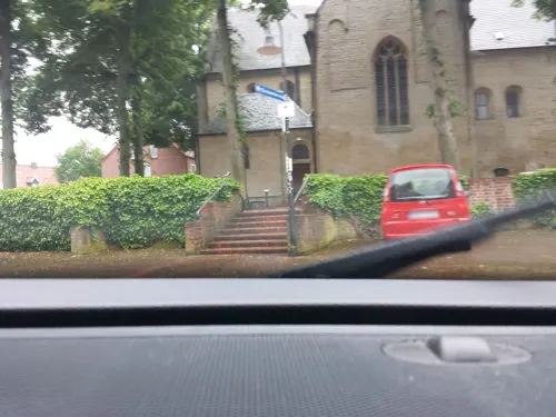
Telefonhäuschen
Monument and historic site · 3.8 km
In historischem Stil erbaute Telefonzelle des Typs TelH 90 Sh, in der Farbgebung gelb-schwarz. Wurde 2018 von der Stadt Legden erworben...
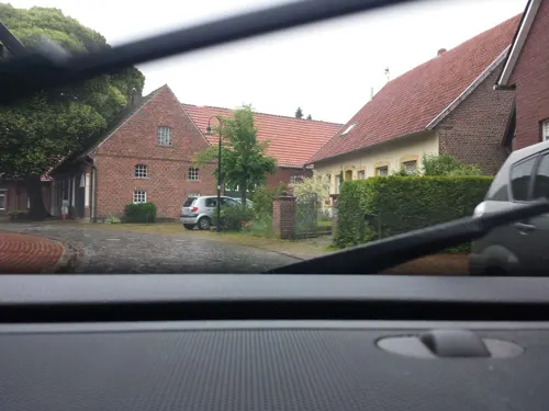

Torhaus "Hunnenpforte"
Monument and historic site · 3.8 km
11 Brückenstraße, Legden



16 more on the map.
Parks, trails and playgrounds14




2 more on the map.
Restaurants and cafes23


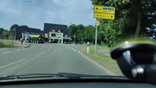
Backhaus Ebbinghoff
Cafe · Cake · 3.9 km
18 Coesfelder Straße, Rosendahl
Mo-Fr 05:15-18:00; Sa 05:15-12:00, Su, PH 07:30-11:00
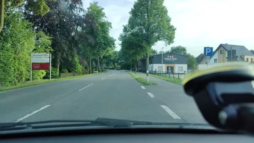
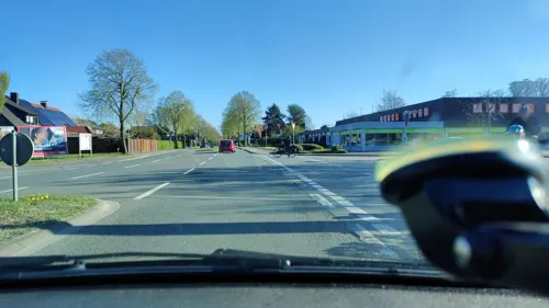
Schütte
Bakery · 3.0 km
6 Handwerkerstraße, Rosendahl
Mo-Fr 06:00-19:00; Sa 06:00-17:00; Su,PH 07:30-11:00


11 more on the map.
Where to stay6




Churches and places of worship4
St. Margareta
Church · Roman Catholic · 3.8 km
1 An der Kirche, Legden
Shopping6
Gas and EV charging6
Schools, colleges and libraries4
Healthcare1
Map of Legden
92 places. The map loads OpenStreetMap tiles when you open it.
Getting there and nearby towns
Münster Osnabrück Airport (FMO) is the nearest airport with scheduled flights listed in OpenStreetMap, 41 km away.
- Ahaus 8 km northwest, about 8 min by car
- Coesfeld 11 km southeast, about 11 min by car
- Gescher 11 km southwest, about 11 min by car
- Schöppingen 12 km northeast, about 12 min by car
- Stadtlohn 13 km west, about 13 min by car
- Billerbeck 15 km southeast, about 15 min by car
- Metelen 15 km northeast, about 15 min by car
- Velen 17 km southwest, about 17 min by car
- Vreden 19 km west, about 19 min by car
- Gronau 20 km north, about 20 min by car
Drive times are estimates from straight-line distance, not routes.
Local news
Headlines from INDB.
Reviews, tips and questions
Loading what members have shared...
Sources and licences
- GeoNames (CC BY 4.0): population, coordinates, regions and time zone
- Mapillary (see each image): photos
- OpenStreetMap contributors (ODbL 1.0): places, airports, map data
- Wikidata (CC0 1.0): elevation, founding date, time zone, website
- Wikimedia Commons (see each image): photos
- Wikipedia (CC BY-SA 4.0): overview and history text
Photo credits
- Osterwick, Ortsansicht -- 2014 -- 4135, Dietmar Rabich, CC BY-SA 4.0
- Verbundschule-Legden-Rosendahl, HendrikB., CC BY-SA 3.0
- Rathhaus-legden-perspektive, HendrikB., CC BY-SA 3.0
- Rathaus-legden-front, HendrikB., CC BY-SA 3.0
- Denkmalliste Legden Nr. 22 - Ehem. Kaiserliches Postamt, Tetzemann, CC0
- Stolperstein Hauptstrasse 22 legden Rika Seligmann, Tetzemann, CC0
- Stolperstein Hauptstrasse 22 legden Grete Eichenwald geb. Seligmann, Tetzemann, CC0
- Stolperstein Hauptstrasse 22 legden Karl Seligmann, Tetzemann, CC0
- Stolperstein Hauptstrasse 22 legden Moritz Seligmann, Tetzemann, CC0
- Brunnen Hauptstr. Legden-4323, User:Creosoph, CC BY-SA 4.0
- Kirchplatz 10 Bügerhaus Legden, Tetzemann, CC0
- Legden Baudenkmal 01 St. Brigida Legden-4310, User:Creosoph, CC BY-SA 4.0
- Legden Baudenkmal 01 St. Brigida Westportal Legden-4311, User:Creosoph, CC BY-SA 4.0
- Legden Baudenkmal 01 St. Brigida Innenansicht Legden-4312, User:Creosoph, CC BY-SA 4.0
- Legden Baudenkmal 01 St. Brigida Chorraum Legden-4313, User:Creosoph, CC BY-SA 4.0
- Legden Baudenkmal 01 St. Brigida Orgel Legden-4314, User:Creosoph, CC BY-SA 4.0
- Legden Baudenkmal 01 St. Brigida Seitenkapelle Legden-4316, User:Creosoph, CC BY-SA 4.0
- Legden, de Sankt Brigida Kirche Dm1 IMG 0359 2024-03-31 15.02, Michielverbeek, CC BY 4.0
- Legden Baudenkmal 01 St. Brigida Kreuzweg Legden-4317, User:Creosoph, CC BY-SA 4.0
- Neue-mitte-legden, HendrikB., CC BY-SA 3.0
- Tastrelief Legden-4318, User:Creosoph, CC BY-SA 4.0
- Dahlien - Legden - Münsterland 04, Horst J. Meuter, CC BY-SA 4.0
- Dahlien - Legden - Münsterland 08, Horst J. Meuter, CC BY-SA 4.0
- Dahlien - Legden - Münsterland 010, Horst J. Meuter, CC BY-SA 4.0
- Dahlien - Legden - Münsterland 02, Horst J. Meuter, CC BY-SA 4.0
- Dahlien - Legden - Münsterland 07, Horst J. Meuter, CC BY-SA 4.0
- Dahlien - Legden - Münsterland 05, Horst J. Meuter, CC BY-SA 4.0
- Dahlien - Legden - Münsterland 06, Horst J. Meuter, CC BY-SA 4.0
- Dahlien - Legden - Münsterland 011, Horst J. Meuter, CC BY-SA 4.0
- Dahlien - Legden - Münsterland 012, Horst J. Meuter, CC BY-SA 4.0
- Dahlien - Legden - Münsterland 03, Horst J. Meuter, CC BY-SA 4.0
- Dahlien - Legden - Münsterland 01, Horst J. Meuter, CC BY-SA 4.0
- Haus Egelborg, von Südosten, PD70, CC BY-SA 3.0
- Düstermühle in Legden-Wehr, Muehlenbernd, CC BY-SA 3.0
- St-brigida-legden-perspektive-1, HendrikB., CC BY-SA 3.0
- Kirche St. Nikolaus Holtwick, GlockenHenry, CC BY-SA 4.0
- AsbeckMargaretaAussen4, Netzhering, CC BY-SA 3.0
- 20140720 120354 Barenborg, Rosendahl (DSC04682), Günter Seggebäing, Coesfeld, CC BY-SA 3.0
- Legden, Haus Egelborg -- 2014 -- 4120 -- Ausschnitt, Dietmar Rabich, CC BY-SA 4.0
- Bed & Breakfast, PensionGoedde, CC BY-SA 4.0
- Rosendahl Baudenkmal 04 St. Nikolaus Holtwick Madonna Rosendahl-4357, User:Creosoph, CC BY-SA 4.0
- Stolperstein Kirchstrasse 18 Legden Bertha Neuberg geb. Rosenbaum, Tetzemann, CC0
- Wegkreuz Esch Rosendahl-4343, User:Creosoph, CC BY-SA 4.0
- Street-level photo, poxonline, CC BY-SA 4.0
- Street-level photo, poxonline, CC BY-SA 4.0
- Street-level photo, poxonline, CC BY-SA 4.0
- Street-level photo, poxonline, CC BY-SA 4.0
- Street-level photo, bct, CC BY-SA 4.0
- Street-level photo, bct, CC BY-SA 4.0
- Street-level photo, gdm, CC BY-SA 4.0
- Street-level photo, poxonline, CC BY-SA 4.0
- Street-level photo, bct, CC BY-SA 4.0
- Street-level photo, commodoortje, CC BY-SA 4.0
- Street-level photo, poxonline, CC BY-SA 4.0
- Street-level photo, gdm, CC BY-SA 4.0
- Street-level photo, commodoortje, CC BY-SA 4.0
- Street-level photo, poxonline, CC BY-SA 4.0
- Street-level photo, gdm, CC BY-SA 4.0
- Street-level photo, gdm, CC BY-SA 4.0
- Street-level photo, poxonline, CC BY-SA 4.0
- Street-level photo, commodoortje, CC BY-SA 4.0
- Street-level photo, commodoortje, CC BY-SA 4.0
- Street-level photo, commodoortje, CC BY-SA 4.0
- Street-level photo, poxonline, CC BY-SA 4.0
- Street-level photo, commodoortje, CC BY-SA 4.0


Page built November 9, 2026. Spotted a mistake? Tell us or suggest a place.