


Why visit Gescher
Townapedia lists 79 museums and landmarks, 18 parks and trails, 90 places to eat, 13 places to stay and 4 attractions in and around town.
Highlights include Hünsberg, Westfälisches Glockenmuseum, 1623 - 400 Jahre Schlacht im Lohner Bruch and Barenborg.
Weather in Gescher
Forecast from MET Norway (CC BY 4.0). Full forecast
About Gescher
Gescher (German pronunciation: [ˈɡɛʃɐ] ) is a town in the district of Borken, in North Rhine-Westphalia, Germany. It is located near the border with the Netherlands. It is most often known for its bell work, and it includes a Museum of Bells.
From the Wikipedia article Gescher (this version), under CC BY-SA 4.0.
Things to do4


Theater- und Konzertsaal Gescher
Cinema and theater · 1.0 km
48 Borkener Damm, Gescher


Museums and landmarks79


1623 - 400 Jahre Schlacht im Lohner Bruch
Museum · 7.3 km
Diorama der Schlacht im Lohner Bruch 1623
14 Dufkampstraße, Stadtlohn
nach Anmeldung beim Heimatverein oder Stadtarchiv
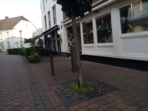
Westfälisch-Niederländisches Imkereimuseum
Museum
2 Lindenstraße, Gescher
"Führungen jederzeit nach Vereinbarung"

Schlacht bei Stadtlohn
Monument and historic site · 7.3 km
Östliches Schlachtfeld, Dodo zu Inn- und Knyphausen, Graf von Anholt, Artillerie


St. Nepomuc
Monument and historic site · 7.5 km
Sandsteinfigur mit Sockelanlage, 18. Jh.


67 more on the map.
Parks, trails and playgrounds18






6 more on the map.
Restaurants and cafes90
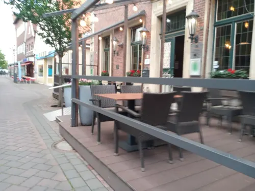
Zur Krone
Restaurant · German
39 Hauptstraße, Gescher
Mo 18:00-21:30; Tu-Sa 12:00-14:00,18:00-21:30; Su 12:00-14:00
Gasthaus Rappers
Restaurant · German · 5.0 km
133 Nordvelener Straße, Velen
We-Su 11:00+; Mo,Tu,PH off
Hong Fu
Restaurant · Asian · 2.2 km
83 Ahauser Damm, Gescher
Tu-Th 17:30-21:30, Fr,Sa 11:30-14:30,17:30-21:30, Su,PH 12:00-21:30

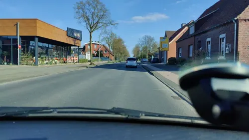
Bäckerei Schlüter
Bakery · 1.0 km
55 Bahnhofstraße, Gescher
Mo-Fr 06:30-20:00; Sa 07:00-18:00; Su 07:00-11:00

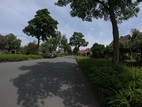
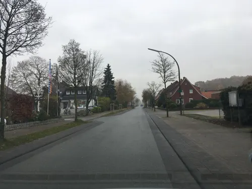
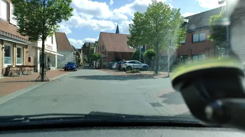


Wirtschaft Fork 1870
Bar and pub · 6.6 km
13 Coesfelder Straße, Velen
Th 18:00-22:00, Fr-Sa 18:00-24:00; Su 14:30-18:00
78 more on the map.
History
The early history of Gescher starts as a connecting stop on a postal route running from Muenster to the Netherlands. In 1570, Gescher suffered an enormous village-wide fire that destroyed the entire town. During the time of reconstruction, many looters came over from the Netherlands to take advantage of the unfortunate situation. After the Second World War, Gescher was under the control of Mr. Ball and the British sovereignty in Germany. Gescher was under the authority of Kreis Coesfeld up until 1975 when Gescher was pulled into Kreis Borken.
From the History section of Gescher on Wikipedia, under CC BY-SA 4.0.
Where to stay13
Churches and places of worship15
St.-Antonius-Kapelle
Church · Roman Catholic · 3.2 km
Tungerloh-Capellen, Gescher
Shopping34
Gas and EV charging19
Schools, colleges and libraries18
Healthcare8
Map of Gescher
250 places. The map loads OpenStreetMap tiles when you open it.
Getting there and nearby towns
Münster Osnabrück Airport (FMO) is the nearest airport with scheduled flights listed in OpenStreetMap, 51 km away.
- Velen 7 km south, about 7 min by car
- Stadtlohn 7 km northwest, about 7 min by car
- Vreden 15 km northwest, about 15 min by car
- Nottuln 24 km east, about 24 min by car
- Raesfeld 23 km southwest, about 23 min by car
- Rhede 25 km southwest, about 25 min by car
- Haltern am See 26 km southeast, about 26 min by car
- Gronau 29 km north, about 29 min by car
- Havixbeck 28 km east, about 28 min by car
- Steinfurt 31 km northeast, about 31 min by car
Drive times are estimates from straight-line distance, not routes.
Local news
Headlines from INDB.
Reviews, tips and questions
Loading what members have shared...
Sources and licences
- GeoNames (CC BY 4.0): population, coordinates, regions and time zone
- Mapillary (see each image): photos
- OpenStreetMap contributors (ODbL 1.0): places, airports, map data
- Wikidata (CC0 1.0): elevation, founding date, time zone, website
- Wikimedia Commons (see each image): photos
- Wikipedia (CC BY-SA 4.0): overview and history text
Photo credits
- Gescher, Ortsansicht -- 2014 -- 2302, Dietmar Rabich, CC BY-SA 4.0
- Kriegerehrenmal Gescher, Tetzemann, CC0
- Kriegerehrenmal 2020-10-12 Gescher-7812, Dr. W. Strickling, CC BY-SA 4.0
- Judengedenkstele E.-Stein-Str 2020-10-16 Gescher-7948, Dr. W. Strickling, CC BY-SA 4.0
- Von-Galen-Grundschule Gescher, Tetzemann, CC0
- Stolpersteine Gescher Armlandstraße 1, Gmbo 2013, CC0
- Stolperstein Gescher Armlandstraße 1 Ulrich Samuel Stein, Gmbo 2013, CC0
- Stolperstein Gescher Armlandstraße 1 Wolfgang Stein, Gmbo 2013, CC0
- Stolperstein Gescher Armlandstraße 1 Amalie Stein, Gmbo 2013, CC0
- Stolperstein Gescher Armlandstraße 1 Julius Stein, Gmbo 2013, CC0
- Stolperstein Gescher Armlandstraße 1 Elionore Stein, Gmbo 2013, CC0
- Stolpersteinlage Gescher Armlandstraße 1, Gmbo 2013, CC0
- Streetballplatz Stadtpark Gescher, Tetzemann, CC0
- St. Pankratius 2020-10-12 Gescher-7802, Dr. W. Strickling, CC BY-SA 4.0
- St. Pankratius 2020-10-12 Gescher-7801, Dr. W. Strickling, CC BY-SA 4.0
- St. Pankratius 2020-10-12 Gescher-7800, Dr. W. Strickling, CC BY-SA 4.0
- St. Pankratius 2020-10-12 Gescher-7798, Dr. W. Strickling, CC BY-SA 4.0
- St. Pankratius 2020-10-12 Gescher-7797, Dr. W. Strickling, CC BY-SA 4.0
- St. Pankratius 2020-10-12 Gescher-7796, Dr. W. Strickling, CC BY-SA 4.0
- St. Pankratius 2020-10-12 Gescher-7789, Dr. W. Strickling, CC BY-SA 4.0
- Planetenweg Gescher - Christine Sültrup 2020-10-12 Gescher-7790, Dr. W. Strickling, CC BY-SA 4.0
- Planetenweg Gescher - Christine Sültrup 2020-10-12 Gescher-7791, Dr. W. Strickling, CC BY-SA 4.0
- St. Pankratius-Stele 2020-10-12 Gescher-7793, Dr. W. Strickling, CC BY-SA 4.0
- Innenraum St. Pankratius Gescher, Tetzemann, CC BY 4.0
- Kirchenfenster Altarraum St.Pankratius Gescher, Tetzemann, CC0
- Kreuzweg Stat. 4 2020-10-12 Gescher-7769, Dr. W. Strickling, CC BY-SA 4.0
- Kreuzweg Stat. 4 2020-10-12 Gescher-7770, Dr. W. Strickling, CC BY-SA 4.0
- Planetenweg Gescher - Christine Sültrup, Saturn 2020-10-16 Gescher-7945, Dr. W. Strickling, CC BY-SA 4.0
- Planetenweg Gescher - Christine Sültrup, Saturn 2020-10-16 Gescher-7946, Dr. W. Strickling, CC BY-SA 4.0
- Wegkreuz St. Pankratius 2020-10-16 Gescher-7952, Dr. W. Strickling, CC BY-SA 4.0
- St. Prankratius in Gescher - panoramio, Edgar El, CC BY 3.0
- Skatepark Gescher, Tetzemann, CC0
- Kreuzweg Stat. 3 2020-10-16 Gescher-7950, Dr. W. Strickling, CC BY-SA 4.0
- Ehem Marienkirche, Marienquartier 2020-10-12 Gescher-7764, Dr. W. Strickling, CC BY-SA 4.0
- Kolping-Büste 2020-10-12 Gescher-7788, Dr. W. Strickling, CC BY-SA 4.0
- Kreuzweg Stat. 3 2020-10-16 Gescher-7949, Dr. W. Strickling, CC BY-SA 4.0
- Transparent Karneval Gescher 02, Tetzemann, CC BY 4.0
- Stolpersteine Gescher Hauptstraße 35, Gmbo 2013, CC0
- Schlacht bei Stadtlohn, Unknown author, Public domain
- Velen, Schloss Velen -- 2015 -- 1341, Dietmar Rabich, CC BY-SA 4.0
- Naturschutzgebiet Fürstenkuhle 08, Tetzemann, CC0
- 20160411 NSG Heidesee, Coesfeld (04696), Günter Seggebäing, Coesfeld, CC BY-SA 3.0
- Gescher, St. Pankratius, Duhon, CC BY-SA 3.0
- Gescher, Kuhlenvenn -- 2014 -- 7701, Dietmar Rabich, CC BY-SA 4.0
- Coesfeld Antoniuskapelle, Lokilech, CC BY-SA 3.0
- Hünsberg vom Kuhlenvenn, Günter Seggebäing, CC BY-SA 3.0
- Hilgenbergkapelle, Stadtlohn, CC BY-SA 3.0
- Stadtlohn, kerk foto6 2012-04-30 10.19, Michielverbeek, CC BY-SA 3.0
- Stadtbücherei St. Pankratius Gescher, Tetzemann, CC0
- Bücherei Stadtlohn St. Otger, Tetzemann, CC0
- NSG Berkelaue Gescher, Kreis Borken, NRW, Deutschland, Tetzemann, CC BY-SA 4.0
- Gescher, Domhotel, Rwgwiki, CC BY-SA 4.0
- Von-Galen Grundschule Gescher, Tetzemann, CC BY-SA 4.0
- 1 Kath. Pfarrkirche St. Andreas, Velen, Rwgwiki, CC BY-SA 4.0
- St. Stephanus Hochmoor 2020-10-12 Gescher-7690, Dr. W. Strickling, CC BY-SA 4.0
- St. Karl Borromäus Kirche Büren Stadtlohn, Tubantia, CC BY-SA 3.0
- Glockenmuseum Gescher, Tetzemann, CC0
- Sandsteinfigur mit Sockelanlage an der Hofzufahrt der Familie Kolve, Tetzemann, CC0
- Coesfeld Monument 034 Speicher 2020-03-14, W.Strickling, CC BY-SA 4.0
- 20140720 120354 Barenborg, Rosendahl (DSC04682), Günter Seggebäing, Coesfeld, CC BY-SA 3.0
- Liesner Wald, Tetzemann, CC0
- Street-level photo, Tetzemann82, CC BY-SA 4.0
- Street-level photo, gdm, CC BY-SA 4.0
- Street-level photo, poxonline, CC BY-SA 4.0
- Street-level photo, poxonline, CC BY-SA 4.0
- Street-level photo, poxonline, CC BY-SA 4.0
- Street-level photo, jockel76, CC BY-SA 4.0
- Street-level photo, poxonline, CC BY-SA 4.0
- Street-level photo, poxonline, CC BY-SA 4.0
- Street-level photo, Tetzemann82, CC BY-SA 4.0
- Street-level photo, Tetzemann82, CC BY-SA 4.0
- Street-level photo, jockel76, CC BY-SA 4.0
- Street-level photo, jockel76, CC BY-SA 4.0
- Street-level photo, gdm, CC BY-SA 4.0
- Street-level photo, poxonline, CC BY-SA 4.0
- Street-level photo, poxonline, CC BY-SA 4.0
- Street-level photo, gdm, CC BY-SA 4.0
- Street-level photo, gdm, CC BY-SA 4.0
- Street-level photo, poxonline, CC BY-SA 4.0
- Street-level photo, geogladbecker, CC BY-SA 4.0
- Street-level photo, poxonline, CC BY-SA 4.0
- Street-level photo, poxonline, CC BY-SA 4.0


Page built November 8, 2026. Spotted a mistake? Tell us or suggest a place.