


Coesfeld, Germany
Coesfeld is a town of 36,631 people in North Rhine-Westphalia, Germany.
Why visit Coesfeld
Townapedia lists 163 museums and landmarks, 52 parks and trails, 125 places to eat, 15 places to stay and 18 attractions in and around town.
Highlights include Freilichtbühne Coesfeld, Konzert Theater Coesfeld, Alter Bahnhof Lette and Kolvenburg.
Weather in Coesfeld
Forecast from MET Norway (CC BY 4.0). Full forecast
About Coesfeld
Coesfeld (German pronunciation: [ˈkoːsfɛlt] ; Westphalian: Koosfeld) is the capital of the district of Coesfeld in the German state of North Rhine-Westphalia.
From the Wikipedia article Coesfeld (this version), under CC BY-SA 4.0.
Photos of Coesfeld


Things to do18



Hofladen Terwei
Farm and orchard · 3.9 km
129 Höven, Rosendahl
Mo 09:00-12:00; Tu 15:00-18:00; We-Fr 09:00-13:00, 15:00-18:00
Köstlichkeiten und Kultur
Farm and orchard · 2.0 km
1 Sirksfeld, Coesfeld
We-Fr 10:00-18:00; Sa 10:00-14:00

6 more on the map.
Museums and landmarks163


Kolvenburg
Museum · 8.9 km
3 An der Kolvenburg, Billerbeck
Tu-Sa 13:00-18:00; PH Su 10:00-13:00,13:30-17:30

Anna-Katharina-Emmerick-Haus
Museum · 2.4 km
20 Emmerickweg, Coesfeld
"nach Vereinbarung"

Haus Loburg
Monument and historic site · 2.1 km
Torhaus der Loburg
1 Sirksfeld, Coesfeld

Bischofsmühle
Museum · 1.5 km
Ehemalige Wassermühle; Standort seit dem 12. Jh.

Ehemalige Synagoge
Monument and historic site
7 Weberstraße, Coesfeld


Schloss Varlar
Monument and historic site · 4.8 km
70 Varlar, Rosendahl


Zitadelle
Monument and historic site · 1.1 km
Teil einer Befestigungsanlage aus dem 17. Jh.


151 more on the map.
Parks, trails and playgrounds52



Freibad Billerbeck
Sports field and stadium · 8.8 km
27 Osterwicker Straße, Billerbeck
May-Sep Mo-Fr 14:00-20:00; May-Sep PH,Sa,Su 10:00-20:00; May-Sep...

40 more on the map.
Restaurants and cafes125
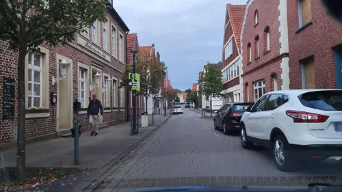
Billerbecker Hof
Restaurant · German · 9.4 km
20 Schmiedestraße, Billerbeck
Mo-Sa 12:00-14:30,18:00-21:30; Su 12:00-18:00
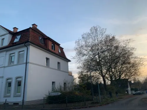
Essmanns Backstube
Cafe · Cake · 9.3 km
28 Münsterstraße, Billerbeck
Mo-Th 07:00-18:30; Fr 06:00-18:30; Sa 06:00-18:00; Su, PH 07:00-11:00
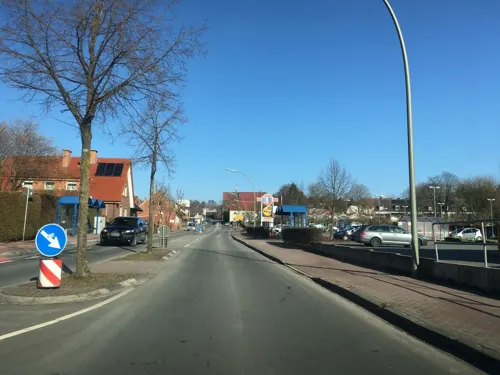
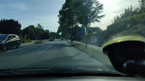
180 DEGREES
Restaurant · American, Burger · 2.1 km
136 Borkener Straße, Coesfeld
Mo-Sa 17:00+; Su 16:00+

COX ORANGE Trattoria
Restaurant · Italian · 9.0 km
12 Johannikirchplatz, Billerbeck
Mo-Tu off; We-Su 17:00+

Das Kleine Café
Cafe · Cake · 9.1 km
19 Johannikirchplatz, Billerbeck
Mo,We-Sa 12:00-18:00; Su,PH 12:00-18:00
Zum Coesfelder Berg
Cafe · Cake · 1.6 km
51 Bergallee, Coesfeld
Tu-Th,Su,PH 14:30-21:00; Fr,Sa "by appointment"
Billerbäcker
Cafe · Cake · 9.2 km
6-10 Ludgeristraße, Billerbeck
Mo-Fr 05:00-13:00; Sa 05:00-11:00; Su, PH 06:00-11:00; "zusätzlich...
113 more on the map.
History
Coesfeld received its city rights in 1197, but was first recorded earlier than that in the biography of St. Ludger, patron and first bishop of the diocese of Munster who was born north of Coesfeld in Billerbeck. The day before he died, Ludger spent the night in Coesfeld and heard mass in the morning in the church he founded. He was on his way from his abbey in Essen to Münster. The road he followed passed Coesfeld and Billerbeck, and after preaching in the St. Lambert's church, 26 March 809, he travelled on to Billerbeck, where he died in the evening.
The Coesfeld St. Jacobikirche dates from the same period as the city charter. For centuries, Coesfeld was an important stopping place for pilgrims traveling one of the more popular Germanic Jakobi routes (Way of St. James) leading from Warendorf over Münster (via Billerbeck) to Coesfeld, and then on via Borken to Wesel on the Rhine.
Read more of the history
During the Thirty Years' War, troops were stationed in Coesfeld. The Prince-bishop of Münster was often at odds with these troops. Bernhard von Galen managed to drive the foreign troops away and even started to build a palace in Coesfeld, but it was never finished and after he died it was torn down. He became known for his sieges of Dutch cities in his efforts for the Counter-Reformation and started a Way of the Cross procession that still exists up to the present day, with 18 Stations of the Cross. One procession round the historic centre of Coesfeld is still held on Whitmonday but the "Great Procession along the stations of the cross" held for centuries on Whit Tuesday is now held on 9/14 (Exaltation of the Cross) if it is a Sunday otherwise on the Sunday thereafter.
From the History section of Coesfeld on Wikipedia, under CC BY-SA 4.0.
Notable people from Coesfeld
 Anne Catherine EmmerichGerman Augustinian canoness, mystic, Marian visionary, ecstatic and stigmatist (1774-1824)Photo: Gabriel von Max, Public domain
 Michael OenningGerman association football player and managerPhoto: Szabó Gábor (vasasfc.hu), CC BY-SA 4.0
 Johann KoerbeckeGerman painter (c. 1410-1491)Photo: Daderot, CC0
 Hermann WedekindGerman theatre director (1910–1998)Photo: Willy Pragher, CC BY 3.0 de
 Jürgen RotersGerman politicianPhoto: Raimond Spekking, CC BY-SA 4.0
 Henning HöneGerman politicianPhoto: S. Klömpges, CC BY-SA 4.0
 Mechthild RawertGerman politicianPhoto: Foto-AG Gymnasium Melle, CC BY 3.0
 Hildegard Brom-FischerDutch textile artist (1908-2001)Photo: Fotodienst GAU, fotograaf, CC BY 4.0
- Rudolf WoltersGerman architect (1903-1983)
- LeunclaviusGerman historian
- Franz Karl MoversGerman theologian (1806-1856)
- Bernhard KlosterkemperGerman General and Knight's Cross recipients
Born in Coesfeld, according to Wikidata (CC0). Each name links to its Wikipedia article.
Where to stay15
Churches and places of worship28
Johannis-Kirche
Church · Roman Catholic · 9.1 km
Johannikirchplatz, Billerbeck
Pfarrkirche Anna Katherina
Church · Roman Catholic · 1.0 km
19 Am Tüskenbach, Coesfeld
Ss. Fabian und Sebastian
Church · Catholic · 8.8 km
Fabianus-Kirchplatz, Rosendahl
Shopping51
Gas and EV charging20
Schools, colleges and libraries33
Healthcare14
Map of Coesfeld
250 places. The map loads OpenStreetMap tiles when you open it.
Getting there and nearby towns
Münster Osnabrück Airport (FMO) is the nearest airport with scheduled flights listed in OpenStreetMap, 41 km away.
- Billerbeck 9 km northeast, about 9 min by car
- Gescher 11 km west, about 11 min by car
- Legden 11 km northwest, about 11 min by car
- Nottuln 13 km east, about 13 min by car
- Velen 13 km southwest, about 13 min by car
- Dülmen 15 km southeast, about 15 min by car
- Reken 15 km southwest, about 15 min by car
- Ahaus 18 km northwest, about 18 min by car
- Stadtlohn 18 km west, about 18 min by car
- Havixbeck 18 km east, about 18 min by car
Drive times are estimates from straight-line distance, not routes.
Towns near Coesfeld


Keep exploring
Local news
Headlines from INDB.
Reviews, tips and questions
Loading what members have shared...
Sources and licences
- GeoNames (CC BY 4.0): population, coordinates, regions and time zone
- Mapillary (see each image): photos
- OpenStreetMap contributors (ODbL 1.0): places, airports, map data
- Wikidata (CC0 1.0): elevation, founding date, time zone, website, landmarks and historic places
- Wikimedia Commons (see each image): photos
- Wikipedia (CC BY-SA 4.0): overview and history text
Photo credits
- 20141101 Innenstadt Coesfeld (07305), Günter Seggebäing, Coesfeld, CC BY-SA 3.0
- St. Jakobi Coesfeld 08, H.Helmlechner, CC BY-SA 4.0
- St. Jakobi Coesfeld 07, H.Helmlechner, CC BY-SA 4.0
- Coesfeld St. Jakobi - Statue Hl. Jakobus, Günter Seggebäing, CC BY-SA 3.0
- Coesfeld St. Jakobi - Mittelschiff, Günter Seggebäing, CC BY-SA 3.0
- Coesfeld St. Jakobi - Taufstein, Günter Seggebäing, CC BY-SA 3.0
- Coesfeld St. Jakobi - Mittelschiff nach Westen, Günter Seggebäing, CC BY-SA 3.0
- Coesfeld St. Jakobi - Marienaltar von 1520, Günter Seggebäing, CC BY-SA 3.0
- St. Jakobi Coesfeld 06, H.Helmlechner, CC BY-SA 4.0
- St. Jakobi Coesfeld 01, H.Helmlechner, CC BY-SA 4.0
- St. Jakobi Coesfeld 04, H.Helmlechner, CC BY-SA 4.0
- Coesfeld-OchsCouture-1-Asio, Asio otus, CC BY-SA 3.0
- Coesfeld St Jakobi Portal 7911 201707, Matthias Nonnenmacher, CC BY-SA 4.0
- St. Jakobi Coesfeld 02, H.Helmlechner, CC BY-SA 4.0
- St. Jakobi Coesfeld 05, H.Helmlechner, CC BY-SA 4.0
- Coesfeld St Jakobi Turmdetail NW 7937 201707, Matthias Nonnenmacher, CC BY-SA 4.0
- St. Jakobi Coesfeld 03, H.Helmlechner, CC BY-SA 4.0
- Jesuitenkirche Coesfeld, Günter Seggebäing, CC BY-SA 3.0
- Jesuitenkirche Coesfeld 02, H.Helmlechner, CC BY-SA 4.0
- Coesfeld evangelische Kirche SW 7932 201707, Matthias Nonnenmacher, CC BY-SA 4.0
- Jesuitenkirche Coesfeld 01, H.Helmlechner, CC BY-SA 4.0
- Coesfeld-EhrenmalJakobiwall-1-Asio, Asio otus, CC BY-SA 3.0
- Coesfeld-SkulpturLebenskünstler-2-Asio, Asio otus, CC BY-SA 3.0
- Coesfeld-MahnmalJakobiwall-1-Asio, Asio otus, CC BY-SA 3.0
- Coesfeld Berkel2, Tetzemann, CC BY 3.0
- Coesfeld Berkel1, Tetzemann, CC BY 3.0
- Coesfeld-Letterstr34-2-Asio, Asio otus, CC BY-SA 3.0
- Coesfeld-Letterstr34-1-Asio, Asio otus, CC BY-SA 3.0
- Coesfeld evangelische Kirche NW 7917 201707, Matthias Nonnenmacher, CC BY-SA 4.0
- Ludgerusdom, Billerbeck (00312), Günter Seggebäing, Coesfeld, CC BY-SA 3.0
- 20141101 St.-Pius-Gymnasium Coesfeld (07277), Günter Seggebäing, Coesfeld, CC BY-SA 3.0
- 20160326 Johanniskirche, Billerbeck (04348), Günter Seggebäing, Coesfeld, CC BY-SA 3.0
- Bahnhof Lette, Stefan Flöper, CC BY-SA 4.0
- Bischofsmühle Coesfeld, Günter Seggebäing, CC BY-SA 3.0
- Coesfeld evangelische Kirche Eingang, Unknown author, CC BY-SA 3.0
- 20140412 130644 Freilichtbühne Coesfeld (IMG 6658), Günter Seggebäing, Coesfeld, CC BY-SA 3.0
- 20140412 124917 Kolvenburg, Billerbeck (DSC00372), Günter Seggebäing, Coesfeld, CC BY-SA 3.0
- Coesfeld Ludgerusburgruine 2, Unknown author, CC BY-SA 3.0
- Gymnasium Nepomucenum Coesfeld, Unknown author, CC BY-SA 3.0
- Loburg (Coesfeld) 1, Günter Seggebäing, CC BY-SA 3.0
- 20160411 NSG Heidesee, Coesfeld (04696), Günter Seggebäing, Coesfeld, CC BY-SA 3.0
- St. Lamberti Coesfeld, Günter Seggebäing, CC BY-SA 3.0
- Rorup, St.-Agatha-Kirche -- 2014 -- 9181 -- Ausschnitt, Dietmar Rabich, CC BY-SA 4.0
- Heriburg-Gymnasium Coesfeld, Unknown author, CC BY-SA 3.0
- Coesfeld Sankt Jacobi autostitch, Unknown author, CC BY-SA 3.0
- St. Fabian und Sebastian Osterwick, Günter Seggebäing, CC BY-SA 3.0
- Schloss Varlar, Rosendahl (00654), Günter Seggebäing, Coesfeld, CC BY-SA 3.0
- Ehemalige Synagoge Coesfeld, Günter Seggebäing, CC BY-SA 3.0
- Coesfeld Walkenbrueckentor 06, J.-H. Janßen, CC BY-SA 3.0
- Emmerickhaus, MrsMyerDE, CC BY-SA 3.0
- Hünsberg vom Kuhlenvenn, Günter Seggebäing, CC BY-SA 3.0
- Coesfeld Bücherei, Unknown author, CC BY-SA 3.0
- 20141101 Konzert Theater Coesfeld mit WBK (07329), Günter Seggebäing, Coesfeld, CC BY-SA 3.0
- Anna Katharina-Kirche Coesfeld, Ein anonymer Wikipedianutzer, CC BY-SA 4.0
- Billerbeck, Johannikirchplatz, 2011-10 CN-05, kaʁstn Disk / Cat, CC BY-SA 3.0 de
- Mühlenteich Haus Hameren, Billerbeck (03256), Günter Seggebäing, Coesfeld, CC BY-SA 3.0
- 20160501 Wölbacker, NSG Brink, Coesfeld (05080), Günter Seggebäing, Coesfeld, CC BY-SA 3.0
- Billerbeck, St. Johannes der Täufer, 2011-10 CN-01, kaʁstn Disk / Cat, CC BY-SA 3.0 de
- Coesfeld, Lette, St.-Johannes-Kirche -- 2015 -- 5741, Dietmar Rabich, CC BY-SA 4.0
- Cinema coesfeld, Gestumblindi, CC BY-SA 4.0
- Dreilindenhöhe Coesfeld (09107), Günter Seggebäing, Coesfeld, CC BY-SA 3.0
- Coesfeld - Lette - Glasmuseum, Horst J. Meuter, CC BY-SA 4.0
- Street-level photo, kalla, CC BY-SA 4.0
- Street-level photo, hotteliene, CC BY-SA 4.0
- Street-level photo, descilla, CC BY-SA 4.0
- Street-level photo, hotteliene, CC BY-SA 4.0
- Street-level photo, mac_do, CC BY-SA 4.0
- Street-level photo, poxonline, CC BY-SA 4.0
- Street-level photo, poxonline, CC BY-SA 4.0
- Street-level photo, poxonline, CC BY-SA 4.0
- Street-level photo, mac_do, CC BY-SA 4.0
- Street-level photo, poxonline, CC BY-SA 4.0
- Street-level photo, poxonline, CC BY-SA 4.0
- Street-level photo, poxonline, CC BY-SA 4.0
- Street-level photo, poxonline, CC BY-SA 4.0


Page built November 9, 2026. Spotted a mistake? Tell us or suggest a place.