


Annweiler am Trifels, Germany
Annweiler am Trifels is a town of 7,316 people in Rheinland-Pfalz, Germany.
Why visit Annweiler am Trifels
Townapedia lists 62 museums and landmarks, 19 parks and trails, 99 places to eat, 29 places to stay and 65 attractions in and around town.
Highlights include Kügler Mühle Hofladen, Südliche Weinstraße Wildlife Park, Museum unterm Trifels and Reichsburg Trifels.
Weather in Annweiler am Trifels
Forecast from MET Norway (CC BY 4.0). Full forecast
About Annweiler am Trifels
Annweiler am Trifels (German: [ˈanvaɪlɐ ʔam ˈtʁiːfɛls] ), or Annweiler is a town in the Südliche Weinstraße district, in Rhineland-Palatinate, Germany. It is situated on the river Queich, 12 km west of Landau. Annweiler am Trifels station is on the Landau–Saarbrücken railway.
From the Wikipedia article Annweiler am Trifels (this version), under CC BY-SA 4.0.
Photos of Annweiler am Trifels


Things to do65
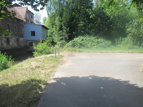
Kügler Mühle Hofladen
Farm and orchard · 5.2 km
Weizenmehl, Roggenmehl, Dinkelmehl, Vollkornmehle, Schrot, Getreide, Backzutaten, Gewürze, Brotgärkörbchen, Sämereien, Müsli, Flocken,...
8 Mühlweg, Siebeldingen
Mo-Fr 08:00-12:00; Mo-Fr 13:00-18:00

Südliche Weinstraße Wildlife Park
Zoo and aquarium · 8.0 km
100 ha large area with about 400 animals from 15 European speciese

Fensterfels
Scenic view · 1.8 km
Meist nur Standhaken, nur gelegentlich mal ein Bohrhaken, sonst traditionell / clean zu klettern.



Lebersteine
Scenic view · 5.2 km
Temporary no trespassing due to preservation of nature; zeitweise kein Zutritt wegen Naturschutz
53 more on the map.
Museums and landmarks62

Museum unterm Trifels
Museum · 0.9 km
We-Sa 13:00-17:00, Su 10:00-17:00; Jan off; Feb off; Mar off; Apr...

Reichsburg Trifels
Monument and historic site · 1.1 km
Feb 01-Mar 14: Sa,Su,PH 10:00-17:00; Mar 15-Oct 31: Tu-Su,PH...

Hohenbergturm
Monument and historic site · 2.2 km
Erbaut 1879 aus mörtellos gesetzten Sandsteinen; 2019 nach Einsturz wiederaufgebaut
24/7


Löwensteiner Schloss
Monument and historic site · 5.1 km
5 Schloßstraße, Albersweiler

Ritterstein 41 "Prinzen-Weg 1911"
Monument and historic site · 3.9 km
An der Straße von Eschbach zur Madenburg. Die Straße wurde 1889 zu Ehren von Prinzregent Luitpold angelegt.

Ritterstein 184 "Grimmeisenpfad"
Monument and historic site · 3.5 km
Am Südwesthang des Kehrenkopfes, am Wanderpfad von Annweiler nach Taubensuhl. Siehe Ritterstein Nr. 47.

Ritterstein 221 "Windhof"
Monument and historic site · 2.2 km
Am Parkplatz an der Trifelsstraße, zwischen Ruine Scharfenberg und Wetterberg. Wüstung eines Hofes.

50 more on the map.
Parks, trails and playgrounds19




Trifelsbad Annweiler
Sports field and stadium · 1.7 km
47 Zweibrücker Straße
May-Sep: Mo 10:30-20:00; May-Sep: Tu-Su 08:00-20:00

7 more on the map.
Restaurants and cafes99
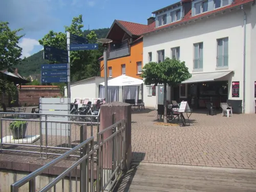
Escher's Eiswerk
Ice cream · Ice Cream · 0.9 km
Eis aus eigener Herstellung!
10 Meßplatz, Annweiler am Trifels
Tu-Su,PH 08:00-18:00; Mo off
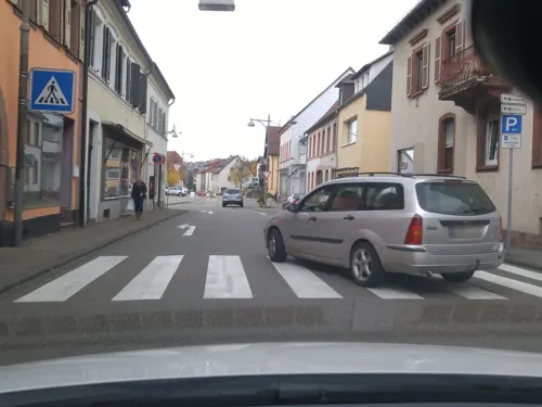
Eiscafé Chelini
Cafe · Ice Cream · 0.8 km
59 Hauptstraße, Annweiler am Trifels
Feb 15-Nov 30: Mo-Su 10:00-23:00
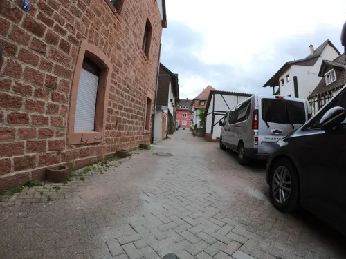
L'Antica Ruota
Restaurant · Italian · 1.1 km
8 Am Storchentor
Tu-Sa 11:30-14:00, 17:30-22:00; Su 11:30-14:30, 17:00-22:00
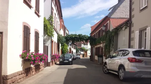
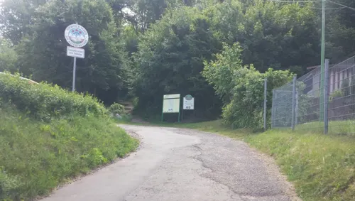
Naturfreundehaus Annweiler
Restaurant · Regional
18 Viktor-von-Scheffel-Straße, Annweiler am Trifels
We-Su 11:00-21:00; Mo,Tu off
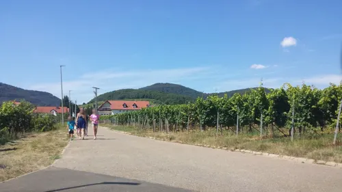
Pizzeria Calabria zum Trifelsblick
Restaurant · Pizza, Italian · 4.8 km
7 Sportplatzstraße, Ranschbach
Tu-Su 11:00-14:00, 17:30-22:45
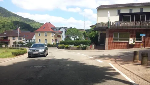
Umoya Restaurant
Restaurant · International · 0.9 km
24 Burgstraße, Annweiler am Trifels
Mo,Th-Sa 17:00-21:00; Su 12:00-14:30,17:00-21:00; Tu,We off
Weingutausschank Siener
Bar and pub · German · 4.6 km
31 Weinstraße
We-Fr 15:00-22:00; Sa,Su 11:00-22:00; PH 10:00-22:00
Zur Alten Gerberei
Restaurant · Regional · 1.1 km
11 Prangertshof, Annweiler am Trifels
Tu-Su 17:30-18:00+; Mo off

87 more on the map.
Notable people from Annweiler am Trifels
 Nicole FesselGerman cross-country skierPhoto: Martin Rulsch , Wikimedia Commons, CC BY-SA 4.0
 Martin HornMayor of the city Freiburg im Breisgau, GermanyPhoto: joergens.mi, CC BY-SA 4.0
- Norbert SchwarzGerman psychologist
- Eduard MüllerGerman internist and neurologist
- Bernd SchattnerGerman politician
- Horst ChristillGerman church musician, composer and cantor
Born in Annweiler am Trifels, according to Wikidata (CC0). Each name links to its Wikipedia article.
Where to stay29
Churches and places of worship29
Cistercian Monastery Church of St. Bernhard Eußerthal
Church · 4.0 km
16 Kirchstraße, Eußerthal
Maria- und Nothelferkapelle
Church · Roman Catholic · 4.2 km
26 Kapellenstraße, Wernersberg
Protestantische Gustav-Adolf-Kirche Dernbach
Church · Protestant · 4.9 km
17 Hauptstraße, Dernbach
Stadtkirche
Church · Protestant · 1.0 km
7 Kirchgasse, Annweiler am Trifels
Kapelle zu unserer lieben Frau
Church · Protestant · 1.3 km
28 Zweibrücker Straße, Annweiler am Trifels
Katholische Kirche Dernbach
Church · Roman Catholic · 5.1 km
33 Kirchstraße, Dernbach
Shopping8
Gas and EV charging4
Schools, colleges and libraries12
Berufsbildende Schule SÜW Standort Annweiler
School
41 Prof.-Schloßstein-Straße, Annweiler am Trifels
Bücherei St. Josef Annweiler
Library · 0.9 km
4 Elisabethenstraße, Annweiler am Trifels
Healthcare7
ehemaliges Klinikum Annweiler
Clinic and pharmacy · 1.2 km
3 Georg-Staab-Straße, Annweiler am Trifels
Map of Annweiler am Trifels
250 places. The map loads OpenStreetMap tiles when you open it.
Getting there and nearby towns
Ramstein Air Base (RMS) is the nearest airport with scheduled flights listed in OpenStreetMap, 38 km away.
- Landau in der Pfalz 10 km east, about 10 min by car
- Bad Bergzabern 12 km south, about 12 min by car
- Edenkoben 14 km northeast, about 14 min by car
- Offenbach an der Queich 16 km east, about 16 min by car
- Neustadt an der Weinstraße 20 km northeast, about 20 min by car
- Kandel 21 km southeast, about 21 min by car
- Bellheim 22 km east, about 22 min by car
- Lustadt 22 km east, about 22 min by car
- Rülzheim 24 km east, about 24 min by car
- Pirmasens 27 km west, about 27 min by car
Drive times are estimates from straight-line distance, not routes.
Towns near Annweiler am Trifels


Keep exploring
Local news
Headlines from INDB.
Reviews, tips and questions
Loading what members have shared...
Sources and licences
- GeoNames (CC BY 4.0): population, coordinates, regions and time zone
- Mapillary (see each image): photos
- OpenStreetMap contributors (ODbL 1.0): places, airports, map data
- Wikidata (CC0 1.0): elevation, founding date, time zone, website, landmarks and historic places
- Wikimedia Commons (see each image): photos
- Wikipedia (CC BY-SA 4.0): overview and history text
Photo credits
- Annweiler Rathaus 02, R.Raab, CC BY-SA 4.0
- Altscharfeneck03, Joachim Decker, 76829 Frankweiler, CC BY-SA 3.0 de
- Bürstenbindermuseum Ramberg, H. Schreiber, CC BY-SA 3.0
- Aerial image of Trifels Castle (view from the southeast), Carsten Steger, CC BY-SA 4.0
- Münz, R.Wallenstein at German Wikipedia, CC BY-SA 2.0 de
- Eusserthal-Zisterzienserkirche-14-suedost-2019-gje, Gerd Eichmann, CC BY-SA 4.0
- Stadtkirche Annweiler, Martin Kraft, CC BY-SA 3.0
- Rinnthal Kirche-1-, The original uploader was Dokape at German Wikipedia ., CC BY-SA 3.0
- Museum unterm Trifels, H. Schreiber, CC BY-SA 3.0
- 2012 Pfälzerwald 369 Kleiner und Grosser Adelberg, Steffen 962, CC0
- Aussichtsturm auf dem Rehberg, H. Schreiber, CC BY-SA 3.0
- Föhrlenberg, Pfalz39, CC BY 4.0
- 2014 Pfälzerwald 026 Ebersberg, Steffen 962, CC0
- Wernersberg-Feldkapelle-02-2019-gje, Gerd Eichmann, CC BY-SA 4.0
- 2019 Pfälzerwald 021 Hohenbergturm, Steffen 962, CC BY-SA 4.0
- Ranschbach Katholische Pfarrkirche 20140218, Rudolf Stricker, CC BY-SA 2.0 de
- Katholische Kirche St. Ludwig, Schiplagerheide, CC0
- 2015 08 20 015 Dernbach, Friedrich Haag, CC BY-SA 4.0
- Schloss Löwenstein Albersweiler-St.Johann, Joachim Specht, CC0
- Felsformation bei der Burg Anebos zwischen der Burg Trifels und Burg Scharfenberg Münz - panoramio (2), qwesy qwesy, CC BY 3.0
- Gossersweiler Jergenkapelle, Rudolf Wild, CC BY-SA 4.0
- Ritterstein 41 Prinzenweg, pfalz39, CC BY-SA 3.0
- Ritterstein 184 Grimmeisenpfad, pfalz39, CC BY-SA 3.0
- Windhof, Pfalz39 at de.wikipedia, CC BY-SA 3.0
- Kastanienschalen im Pfälzer Wald, Ralf Klein, CC BY-SA 3.0
- Winterwonderland Pfälzer Wald, Malain Landau, CC BY-SA 4.0
- General view of Wild- und Wanderpark Südliche Weinstraße, Silz, 2025, DimiTalen, CC0
- Eusserthal-Zisterzienserkirche-16-suedost-2019-gje, Gerd Eichmann, CC BY-SA 4.0
- NSG Unterhalb der Madenburg, Karsten Ratzke, CC0
- Street-level photo, VIA_TZ, CC BY-SA 4.0
- Street-level photo, wegavision, CC BY-SA 4.0
- Street-level photo, changchun1, CC BY-SA 4.0
- Street-level photo, wegavision, CC BY-SA 4.0
- Street-level photo, changchun1, CC BY-SA 4.0
- Street-level photo, bittelwangen, CC BY-SA 4.0
- Street-level photo, wegavision, CC BY-SA 4.0
- Street-level photo, wegavision, CC BY-SA 4.0
- Street-level photo, changchun1, CC BY-SA 4.0
- Street-level photo, wegavision, CC BY-SA 4.0
- Street-level photo, VIA_TZ, CC BY-SA 4.0
- Street-level photo, teddy73, CC BY-SA 4.0
- Street-level photo, teddy73, CC BY-SA 4.0
- Street-level photo, bittelwangen, CC BY-SA 4.0
- Street-level photo, mfa, CC BY-SA 4.0
- Street-level photo, teddy73, CC BY-SA 4.0
- Street-level photo, teddy73, CC BY-SA 4.0
- Street-level photo, changchun1, CC BY-SA 4.0
- Street-level photo, wegavision, CC BY-SA 4.0
- Street-level photo, changchun1, CC BY-SA 4.0
- Street-level photo, wegavision, CC BY-SA 4.0
- Street-level photo, wegavision, CC BY-SA 4.0
- Street-level photo, changchun1, CC BY-SA 4.0
- Street-level photo, wegavision, CC BY-SA 4.0
- Street-level photo, teddy73, CC BY-SA 4.0
- Street-level photo, dnaiel, CC BY-SA 4.0
- Street-level photo, changchun1, CC BY-SA 4.0
- Street-level photo, wegavision, CC BY-SA 4.0
- Street-level photo, wegavision, CC BY-SA 4.0
- Street-level photo, wegavision, CC BY-SA 4.0
- Street-level photo, changchun1, CC BY-SA 4.0
- Street-level photo, chuck, CC BY-SA 4.0
- Street-level photo, changchun1, CC BY-SA 4.0


Page built November 9, 2026. Spotted a mistake? Tell us or suggest a place.