


Bellheim, Germany
Verbandsgemeinde Bellheim
Bellheim is a town of 8,494 people in Rheinland-Pfalz, Germany, founded in 1972.
Why visit Bellheim
Townapedia lists 5 museums and landmarks, 2 parks and trails, 29 places to eat, 2 places to stay and 4 attractions in and around town.
Highlights include Bauernhof Mildenberger and Birkenhof Bellheim.
Weather in Bellheim
Forecast from MET Norway (CC BY 4.0). Full forecast
About Bellheim
Bellheim is a Verbandsgemeinde ("collective municipality") in the district of Germersheim, Rhineland-Palatinate, Germany. The seat of the Verbandsgemeinde is in Bellheim.
From the Wikipedia article Bellheim (Verbandsgemeinde) (this version), under CC BY-SA 4.0.
Photos of Bellheim


Things to do4
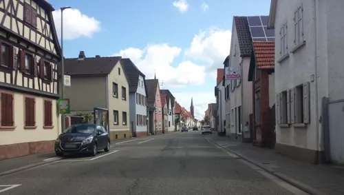
Bauernhof Mildenberger
Farm and orchard · 0.8 km
39 Hauptstraße, Bellheim
Mo-Fr 10:00-17:00; Sa 10:00-14:00; Su,PH off


Museums and landmarks5

Renaissanceportal Schloss Friedrichsbühl
Monument and historic site · 1.5 km
Renaissanceportal - Torbogen Nachbau
Parks, trails and playgrounds2


Restaurants and cafes29
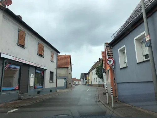
Ischia
Restaurant · Italian
20 Zeiskamer Straße, Bellheim
Tu-Fr 11:30-14:30,17:00-23:30; Sa 17:00-23:30; Su 11:30-14:30,17:00-23:00

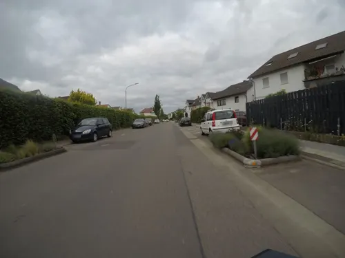
Rhodos
Restaurant · Greek · 0.8 km
16 Postgrabenstraße, Bellheim
Mo-Fr 11:30-14:30,17:30-23:00; Tu off; Sa 17:30-23:00; Su...
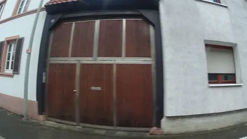
Bellheimer Braustübl
Restaurant · 0.8 km
78 Hauptstraße, Bellheim
Mo,We,Th,Fr 11:30-14:30,17:00+; Sa 17:00+; Tu off; Su,PH 11:30+
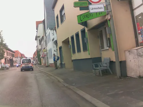
Lotus Schnellimbiss
Restaurant · Asian · 0.8 km
92 Hauptstraße, Bellheim
Mo-Fr 11:00-15:00, 17:00-22:00; Sa-Su 12:00-22:00
Conny’s Eisdiele
Ice cream · 1.1 km
191 Hauptstraße, Bellheim
Tu-Sa 14:00-20:00; Sa 13:00-20:00

Reuther
Bakery
21 Albert-Schweitzer-Straße, Bellheim
Mo-Fr 06:00-18:00; Sa 06:00-13:00; Su 08:00-11:00; PH 08:00-11:00

Restaurant Pizzeria Da Vito
Restaurant · Italian
1 In der Auchtweide, Bellheim
Mo-Su 11:30-22:00
Gaststätte Grüner Baum
Restaurant
7 Prälat-Storck-Straße, Bellheim
Mo-Su 10:00-23:00
17 more on the map.
Where to stay2
Churches and places of worship7
Evangelische Kirche Bellheim
Church · Protestant · 0.8 km
112 Hauptstraße, Bellheim
Shopping6
Gas and EV charging2
Schools, colleges and libraries2
Healthcare2
Map of Bellheim
61 places. The map loads OpenStreetMap tiles when you open it.
Getting there and nearby towns
City-Airport Mannheim (MHG) is the nearest airport with scheduled flights listed in OpenStreetMap, 35 km away.
- Rülzheim 5 km south, about 5 min by car
- Lustadt 5 km north, about 5 min by car
- Offenbach an der Queich 6 km west, about 6 min by car
- Germersheim 7 km east, about 7 min by car
- Lingenfeld 8 km northeast, about 8 min by car
- Landau in der Pfalz 12 km west, about 12 min by car
- Jockgrim 12 km south, about 12 min by car
- Linkenheim-Hochstetten 12 km southeast, about 12 min by car
- Philippsburg 14 km east, about 14 min by car
- Kandel 14 km southwest, about 14 min by car
Drive times are estimates from straight-line distance, not routes.
Towns near Bellheim


Keep exploring
Local news
Headlines from INDB.
Reviews, tips and questions
Loading what members have shared...
Sources and licences
- GeoNames (CC BY 4.0): population, coordinates, regions and time zone
- Mapillary (see each image): photos
- OpenStreetMap contributors (ODbL 1.0): places, airports, map data
- Wikidata (CC0 1.0): elevation, founding date, time zone, website
- Wikimedia Commons (see each image): photos
- Wikipedia (CC BY-SA 4.0): overview and history text
Photo credits
- Bellheim, Kettelerstraße 20231228, P170, CC BY-SA 4.0
- Bellheim, Festhalle 20231228 (2), P170, CC BY-SA 4.0
- Bellheim, Jahnstraße 20231228, P170, CC BY-SA 4.0
- Bellheim, Festhalle 20130829, P170, CC BY-SA 4.0
- Bellheim, Festhalle 20231228 (1), P170, CC BY-SA 4.0
- Bellheim, Forststraße 20231228, P170, CC BY-SA 4.0
- Bellheim, Prälat-Storck-Straße mit Gaststätte Grüner Baum 20231228, P170, CC BY-SA 4.0
- Bellheim, Zeiskamer Straße 20231228 (1), P170, CC BY-SA 4.0
- Bellheim, Forststraße 20160501, P170, CC BY-SA 4.0
- Bellheim, Luisenstraße 20231228, P170, CC BY-SA 4.0
- Bellheim, Mittelmühle 20160501, P170, CC BY-SA 4.0
- Bellheim, Dr.-Friedrich-Schneider-Halle 20231228, P170, CC BY-SA 4.0
- Realschule plus Bellheim 20231228, P170, CC BY-SA 4.0
- Bellheim, Dr.-Friedrich-Schneider-Halle 20231228 (2), P170, CC BY-SA 4.0
- Bellheim, Schubertstraße mit Bushaltestelle Schulzentrum 20231228, P170, CC BY-SA 4.0
- Bellheim, Kleine Kirchstraße 20111229, P170, CC BY-SA 4.0
- Bellheim, Hintere Straße, Gasthaus zum Bären 20111229, P170, CC BY-SA 4.0
- Bellheim-St. Nikolaus-02-gje, Gerd Eichmann, CC BY-SA 3.0
- Bellheim-St. Nikolaus-01-gje, Gerd Eichmann, CC BY-SA 3.0
- Bellheim, Fachwerkhäuser Hintere Straße 30 und 29 20111229, P170, CC BY-SA 4.0
- Bellheim, Rathaus der Verbandsgemeinde Bellheim 20231228, P170, CC BY-SA 4.0
- Bellheim Geschäftsgebäude Schubertstraße 21 20231228, P170, CC BY-SA 4.0
- Bellheim, Hauptstraße Höhe Große Kirchstraße 20160501, P170, CC BY-SA 4.0
- Bellheim, Gebäude Hauptstraße 103 20160501, P170, CC BY-SA 4.0
- Bellheim, Blumenstraße 20231228, P170, CC BY-SA 4.0
- Bellheim, Hauptstraße, Bus der Linie 550 20231228, P170, CC BY-SA 4.0
- Bellheim, Hauptstraße 20231228, P170, CC BY-SA 4.0
- Bellheim, Feldweg am Ortsrand 20130615, P170, CC BY-SA 4.0
- Bellheim, Landmarkt Faas 20131228, P170, CC BY-SA 4.0
- Bellheim, Hauptstraße 20130312 (1), P170, CC BY-SA 4.0
- Bellheim 01, Immanuel Giel, CC BY-SA 3.0
- Bellheim, Hauptstraße 20130312 (2), P170, CC BY-SA 4.0
- Bellheim, Hauptstraße 20130312 (3), P170, CC BY-SA 4.0
- Bellheim, Hauptstraße Höhe Lindenstraße 20130312, P170, CC BY-SA 4.0
- Bellheim, Blumenstraße, Gasthaus zum Löwen 20130312, P170, CC BY-SA 4.0
- Bellheim 02, Immanuel Giel, CC BY-SA 3.0
- Knittelsheim Kirchstr 16, Rudolf Wild, CC BY-SA 4.0
- Knittelsheim ev Pfarrkirche, Mimue58, CC BY-SA 3.0 de
- Spiegelbach bei der Knittelsheimer Mühle - panoramio, Immanuel Giel, CC BY 3.0
- Street-level photo, knistertoni, CC BY-SA 4.0
- Street-level photo, mfa, CC BY-SA 4.0
- Street-level photo, ramap, CC BY-SA 4.0
- Street-level photo, wegavision, CC BY-SA 4.0
- Street-level photo, derlipper, CC BY-SA 4.0
- Street-level photo, mfa, CC BY-SA 4.0
- Street-level photo, mfa, CC BY-SA 4.0
- Street-level photo, ramap, CC BY-SA 4.0
- Street-level photo, wegavision, CC BY-SA 4.0
- Street-level photo, mfa, CC BY-SA 4.0
- Street-level photo, wegavision, CC BY-SA 4.0
- Street-level photo, ramap, CC BY-SA 4.0
- Street-level photo, mfa, CC BY-SA 4.0
- Street-level photo, knistertoni, CC BY-SA 4.0
- Street-level photo, knistertoni, CC BY-SA 4.0
- Street-level photo, derlipper, CC BY-SA 4.0
- Street-level photo, knistertoni, CC BY-SA 4.0
- Street-level photo, ramap, CC BY-SA 4.0
- Street-level photo, wegavision, CC BY-SA 4.0
- Street-level photo, knistertoni, CC BY-SA 4.0
- Street-level photo, knistertoni, CC BY-SA 4.0
- Street-level photo, ramap, CC BY-SA 4.0
- Street-level photo, ramap, CC BY-SA 4.0
- Street-level photo, wegavision, CC BY-SA 4.0
- Street-level photo, mfa, CC BY-SA 4.0


Page built November 9, 2026. Spotted a mistake? Tell us or suggest a place.