


Bad Berleburg, Germany
Bad Berleburg is a town of 20,757 people in North Rhine-Westphalia, Germany.
Why visit Bad Berleburg
Townapedia lists 132 museums and landmarks, 98 parks and trails, 69 places to eat, 47 places to stay and 146 attractions in and around town.
Highlights include Wisent-Wildnis am Rothaarsteig, Gärtnerei am Leisebach, Schloss Berleburg and Modellbahn am Rothaarsteig.
Weather in Bad Berleburg
Forecast from MET Norway (CC BY 4.0). Full forecast
About Bad Berleburg
Bad Berleburg (German: [baːt ˈbɛʁləbʊʁk] , earlier also Berleburg) is a town, in the district of Siegen-Wittgenstein, in North Rhine-Westphalia, Germany. It is one of Germany's largest towns by land area. It is located approximately 30 km (19 mi) northeast of Siegen and 35 km (22 mi) northwest of Marburg an der Lahn.
From the Wikipedia article Bad Berleburg (this version), under CC BY-SA 4.0.
Things to do146

Wisent-Wildnis am Rothaarsteig
Zoo and aquarium · 9.8 km
100 Weidiger Weg, Bad Berleburg
Fr-Su 11:00-16:00

Gärtnerei am Leisebach
Farm and orchard · 8.0 km
12 Dreisbach, Bad Berleburg
Fr 08:00-18:00



134 more on the map.
Museums and landmarks132

Schloss Berleburg
Museum
8 Goetheplatz, Bad Berleburg
May-Oct: 10:30-16:30
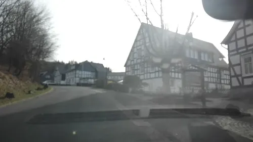
Modellbahn am Rothaarsteig
Monument and historic site · 11.3 km
4a Am Stünzel, Schmallenberg
Su 13:00-16:00


Burg Richstein
Monument and historic site · 8.7 km
Castle build on a hill


Frühmittelalterliche Wallburg Wilzenberg
Monument and historic site · 12.1 km

Museum der Stadt Bad Berleburg
Museum
3 Goetheplatz, Bad Berleburg
Tu, Fr-Su 15:00-18:00

Der Pilz in der Bismarckstraße
Monument and historic site
Ehemaliger "Milchpilz" aus den 50er Jahren. Später als Gartenhäuschen genutzt. Ursprünglicher Standort war in der Bismarckstraße. Später...

Herrenhaus Schwarzenau
Monument and historic site · 6.6 km
4 Alexander-Mack-Straße, Bad Berleburg
120 more on the map.
Parks, trails and playgrounds98





86 more on the map.
Restaurants and cafes69

Berggasthof Didoll
Restaurant · German · 10.4 km
1 Didoll, Bad Berleburg
Fr 14:00-22:00,Sa 10:00-24:00,Su 10:00-22:00
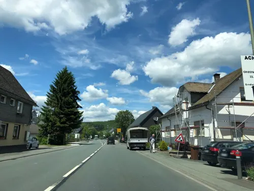
Gasthof und Restaurant "Zum Nachtwächter"
Restaurant · Italian · 9.1 km
8 Hauptstraße, Erndtebrück
Tu-Su 11:30-14:00,17:30-23:00; Mo off
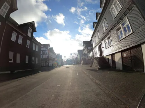
Gaststätte Tonkrug
Restaurant · Regional, German
15 Hochstraße, Bad Berleburg
Sep-Jun: Tu-Sa 17:30-01:00
Hoheleyer Hütte
Restaurant · Barbecue, Breakfast, Burger, Coffee Shop, Friture, German · 10.6 km
17 Hoheleye, Winterberg
Tu-Su 11:00-19:00
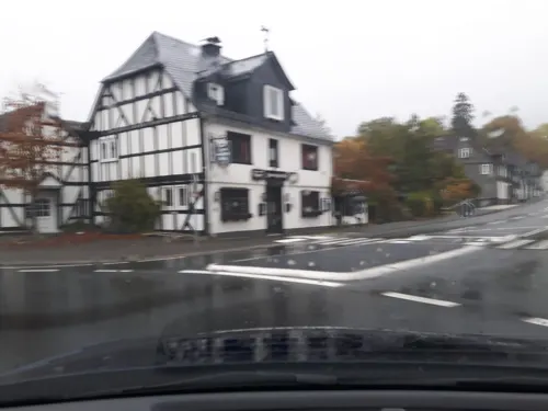
Hubertus Stube
Restaurant · Regional · 0.6 km
27 Schulstraße, Bad Berleburg
Mo,Tu off; We-Su,PH 11:00-14:00,17:30-01:00
Landgasthof "Jagdstuben Grünewald"
Restaurant · Regional · 4.6 km
1 Grünewald, Bad Berleburg
Tu-Fr 17:00+; Sa,Su 11:00+; Mo off
Landgasthof Restaurant Laibach
Restaurant · Regional, German · 4.1 km
1 Auf dem Laibach, Bad Berleburg
We-Sa 10:00-14:00,17:30-21:00; Su 10:00-18:00
Landgasthof Wittgensteiner Schweiz
Restaurant · Regional · 6.4 km
2 Teiche, Bad Berleburg
Sa,Su,PH 09:00+


Zum weißen Roß
Restaurant · German · 0.6 km
11 Emil-Wolff-Straße, Bad Berleburg
Th-Mo 11:30-14:00,17:30-23:00



57 more on the map.
History
Archaeological finds confirm that the area covered by today's municipal area was settled as far back as the 7th century BC. On the castle hills at Aue, Dotzlar and Wemlighausen are traces of circular forts from this time. There is, however, no evidence of settlement in the area for the time that follows, up to the 8th century.
The constituent communities of Arfeld and Raumland were mentioned in documents in 800 and 802 respectively. There are also documents from 1059 confirming the existence of Alertshausen, Beddelhausen, Elsoff and Schwarzenau. In 1174, the name "Widechinstein" was mentioned for the first time. The village of Berleburg is mentioned for the first time in 1258 in documents from the Grafschaft Abbey (in this instance Grafschaft is a location rather than the German word for "county"), under the name Berneborg. The castle passed on 30 March 1258 to Count Siegfried I and the "monastery reeve" ("Klostervogt") Adolf von Grafschaft. In 1322, this double overlordship in Berleburg was ended by Widekind von Grafschaft when he forwent his rights to the town in Siegfried II's favour. Siegfried was the last of his noble line, and when he died, the inheritance went to his son-in-law, Salentin von Sayn. He founded the House of Sayn-Wittgenstein.
In 1488, and again in 1522, great fires roared through the town.
From the History section of Bad Berleburg on Wikipedia, under CC BY-SA 4.0.
Where to stay47
Bauernhofpension Steffes Hof
Motel and hotel · Regional · 6.8 km
8 Weidenhäuser Straße, Bad Berleburg
Churches and places of worship43
Shopping22
Gas and EV charging10
Schools, colleges and libraries13
Healthcare9
Map of Bad Berleburg
250 places. The map loads OpenStreetMap tiles when you open it.
Getting there and nearby towns
Siegerlandflughafen (SGE) is the nearest airport with scheduled flights listed in OpenStreetMap, 44 km away.
- Schmallenberg 14 km northwest, about 14 min by car
- Bad Laasphe 14 km south, about 14 min by car
- Biedenkopf 18 km southeast, about 18 min by car
- Winterberg 18 km northeast, about 18 min by car
- Hilchenbach 21 km west, about 21 min by car
- Kirchhundem 22 km west, about 22 min by car
- Lennestadt 24 km west, about 24 min by car
- Netphen 25 km southwest, about 25 min by car
- Frankenberg 29 km east, about 29 min by car
- Kreuztal 30 km west, about 30 min by car
Drive times are estimates from straight-line distance, not routes.
Local news
Headlines from INDB.
Reviews, tips and questions
Loading what members have shared...
Sources and licences
- GeoNames (CC BY 4.0): population, coordinates, regions and time zone
- Mapillary (see each image): photos
- OpenStreetMap contributors (ODbL 1.0): places, airports, map data
- Wikidata (CC0 1.0): elevation, founding date, time zone, website
- Wikimedia Commons (see each image): photos
- Wikipedia (CC BY-SA 4.0): overview and history text
Photo credits
- Schloss Berleburg, Stefan Didam - Schmallenberg, CC BY-SA 3.0
- Bad Berleburg - panoramio - micovich (1), micovich, CC BY-SA 3.0
- Bad Berleburg - panoramio - micovich, micovich, CC BY-SA 3.0
- Bad Berleburg - panoramio - micovich (2), micovich, CC BY-SA 3.0
- Bad Berleburg foto-1, Velopilger, CC0
- Bahnhof Bad Berleburg (5), Velopilger, CC0
- Bad Berleburg, Velopilger, CC0
- 30.03.93 Bad Berleburg 212030 (49866755773), Phil Richards from London, UK, CC BY-SA 2.0
- Bad Berleburg Quarzitkugel, Norbert Schnitzler, CC BY-SA 3.0
- Bad Berleburg Quarzitkugel-4, Velopilger, CC0
- Bad Berleburg Quarzitkugel-2, Velopilger, CC0
- Bad Berleburg Quarzitkugel-3, Velopilger, CC0
- Bad Berleburg Parkstr. 4, Buschmann, CC BY-SA 3.0
- Poststraße 19 (Bad Berleburg), Velopilger, CC0
- Stadtverwaltung Bad Berleburg, Velopilger, CC0
- Stadtbibliothek Bad Berleburg-1, Velopilger, CC0
- Kloster Grafschaft 2011, Stefan Didam - Schmallenberg, CC BY-SA 3.0
- Burg Richstein-2, MacElch (Rainer Kunze), CC BY-SA 3.0
- Bad Berleburg Kirche, Monster4711, CC BY-SA 3.0
- Kirche Elsoff, Wittgensteiner Heimatverein, E. Linke, CC BY-SA 3.0
- Kirche Birkelbach, Andreas Krüger, CC BY-SA 3.0 de
- 2011.02.28. Puderbach Kirche 005a, Wittiklaus, CC BY-SA 3.0
- Wemlighausen, kapel foto3 2010-08-11 16.02, Michielverbeek, CC BY-SA 3.0
- Wilzenberg 2012, Jörg Braukmann, CC BY-SA 3.0
- Aerial image of Schloss Berleburg (view from the southeast), Carsten Steger, CC BY-SA 4.0
- St.-Gertrud-Kirche(Oberkirchen), Rmbonn, CC BY-SA 3.0
- Fachkrankenhaus Kloster Grafschaft, Stefan Didam - Schmallenberg, CC BY 3.0
- Schmallenberg Wilzenberg Sauerland-Ost 005, Michael Kramer, CC BY-SA 3.0
- Naturschutzgebiet Bergland Wittgenstein photo-03, Velopilger, CC0
- Naturschutzgebiet Bärenkaute-4, Velopilger, CC0
- Erndtebrück Evangelische Kirche, Stefan Flöper, CC BY-SA 4.0
- Alertshausen Kirche, Benutzer: Stammbaum03, Lars Womelsdorf, Public domain
- 058 Kapelle Richstein, Ursulabuschmann, CC BY-SA 3.0
- Diedenshausen 4, Ursulabuschmann, CC0
- 001 ev. Kirche Weidenhausen, Ursulabuschmann, CC0
- Naturschutzgebiet Honert-2, Velopilger, CC0
- Wilzenberg from above, El Grafo, CC BY-SA 3.0
- NSG Sommerseite 8, Martin lindner, CC BY-SA 4.0
- Naturschutzgebiet Bergland Wittgenstein photo-12, Velopilger, CC0
- Albrechtsberg von B480, Mollseifer, CC BY 4.0
- 012 Jagdschloß Schwarzenau, Ursulabuschmann, CC0
- 027 ev Kirche Girkhausen, Buschmann, CC BY-SA 3.0
- Bilsburg photo-12, Velopilger, CC0
- Drehkoite - 3, Velopilger, CC0
- Street-level photo, changchun1, CC BY-SA 4.0
- Street-level photo, VIA_KK, CC BY-SA 4.0
- Street-level photo, changchun1, CC BY-SA 4.0
- Street-level photo, changchun1, CC BY-SA 4.0
- Street-level photo, chuck, CC BY-SA 4.0
- Street-level photo, map_dav, CC BY-SA 4.0
- Street-level photo, redboll, CC BY-SA 4.0
- Street-level photo, VIA_KK, CC BY-SA 4.0
- Street-level photo, changchun1, CC BY-SA 4.0
- Street-level photo, thetornado76, CC BY-SA 4.0
- Street-level photo, VIA_KK, CC BY-SA 4.0
- Street-level photo, changchun1, CC BY-SA 4.0
- Street-level photo, flugyflay, CC BY-SA 4.0
- Street-level photo, jeroenrozema74, CC BY-SA 4.0
- Street-level photo, atze02, CC BY-SA 4.0
- Street-level photo, atze02, CC BY-SA 4.0


Page built November 8, 2026. Spotted a mistake? Tell us or suggest a place.