


Hilchenbach, Germany
Hilchenbach is a town of 16,467 people in North Rhine-Westphalia, Germany.
Why visit Hilchenbach
Townapedia lists 56 museums and landmarks, 30 parks and trails, 43 places to eat, 21 places to stay and 73 attractions in and around town.
Highlights include Gillerberg Observation Tower, Gillerbergturm, Ginsburg and Grube Brüche.
Weather in Hilchenbach
Forecast from MET Norway (CC BY 4.0). Full forecast
About Hilchenbach
Hilchenbach (German pronunciation: [ˈhɪlçn̩ˌbax] ) is a town in the Siegen-Wittgenstein Kreis (district) of North Rhine-Westphalia, Germany.
From the Wikipedia article Hilchenbach (this version), under CC BY-SA 4.0.
Things to do73

Gillerberg Observation Tower
Monument and historic site · 4.5 km
Observation tower near Hilchenbach




61 more on the map.
Museums and landmarks56


Grube Brüche
Monument and historic site · 5.8 km
Stollenmundloch des Tiefen Stollens der ehemaligen Grube Brüche





Theodora
Monument and historic site · 6.8 km
Stollenmundloch des Bergwerkes „Theodora“
44 more on the map.
Parks, trails and playgrounds30







18 more on the map.
Restaurants and cafes43
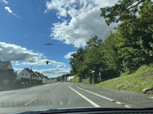
Bardolino
Restaurant · Mediterranean · 3.6 km
120 Wittgensteiner Straße, Hilchenbach
11:30+; Su-Th 11:30-22:00; Fr,Sa 11:30-23:00

Der Stahlberg
Restaurant · Regional · 5.0 km
85 Hauptstraße, Hilchenbach
Th 17:00-23:00; Fr-Sa 17:00 - 01:00; Su 12:00 - 14:00, 17:30-23:00
Gasthof Weber
Restaurant · Regional · 7.5 km
15 Berleburger Straße, Netphen
Mo-Tu 17:00+; Th-Sa 17:00+; Su,PH 10:00-15:00,17:00+; We off
Gaststätte Pampeses
Restaurant · Regional
14 Markt, Hilchenbach
Mo-Sa 11:00-14:00,17:00-24:00; PH,Su 11:00-24:00; Tu,We off

Ginsburg Kaffeestube
Cafe · Cake, Waffle, Tarte Flambee, Pizza, Beer · 3.5 km
1 Schloßberg, Hilchenbach
We-Fr 13:00-18:00; PH,Sa,Su 12:00-18:00
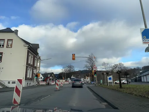
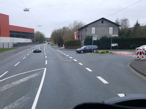


Hotel Restaurant Dahlbrucher Hof
Restaurant · Regional · 4.5 km
171 Wittgensteiner Straße, Hilchenbach
11:30-14:00,17:00+; We off
Steubers Siebelnhof
Restaurant · Regional · 1.8 km
56 Vormwalder Straße, Hilchenbach
Mo-Sa 17:30-23:00; Su 12:30-14:30,18:00+
Waldhaus Sohlbach
Restaurant · Regional · 6.5 km
29 Vorm Breitenberg, Netphen
off "sporadisch alle 14 Tage geöffnet, nachfragen"
Zum Alten Bahnhof
Restaurant · German · 2.5 km
15 Stift-Keppel-Weg, Hilchenbach
Mo-Su 11:00-14:00,17:00-24:00
Zum Kindelsberg
Restaurant · German · 7.5 km
1 Kindelsberg, Kreuztal
Th,Fr 17:00-23:00; Sa,Su,PH 11:00-23:00
31 more on the map.
History
The town of Hilchenbach was first mentioned in documents in 1292, when it went by the name Heylichinbach in a donation document from Countess Agnes von Nassau and her eldest son Heinrich to the Keppel Monastery. There are however clues that a church was established in this area sometime between 950 and 1000 by the Corvey Monastery, implying that there was settlement there.
In a document from 20 July 1365, a "firm house" – "festes Haus" – (Wilhelmsburg) in Hilchenbach is mentioned, which from 1489 to 1622 was enfeoffed to the Wischen von Langenau noble family. A castle with a moat was mentioned in 1623. It supposedly replaced Count William of Nassau-Siegen's Ginsburg residence.
In 1687, the village of Hilchenbach was raised to Flecken – market town.
In 1689 and 1844 nearly the whole town of (Alt-)Hilchenbach was destroyed by fire.
Hilchenbach and the villages in the surrounding were a part of the former County of Nassau. During the Napoleonic Wars in 1807 it became part of the Kingdom of Westphalia. In 1815 after the Congress of Vienna Hilchenbach and other villages in the Siegerland became part of the Prussian province of Westphalia.
From the History section of Hilchenbach on Wikipedia, under CC BY-SA 4.0.
Where to stay21
Churches and places of worship26
Shopping7
Gas and EV charging6
Schools, colleges and libraries5
Jung-Stilling-Grundschule Kredenbach
School · 6.0 km
14 Dr.-Stelbrink-Straße, Kreuztal
Healthcare5
MVZ Kreuztal-Kredenbach GmbH
Clinic and pharmacy · 6.1 km
47 Dr.-Stelbrink-Straße, Kreuztal
Map of Hilchenbach
250 places. The map loads OpenStreetMap tiles when you open it.
Getting there and nearby towns
Siegerlandflughafen (SGE) is the nearest airport with scheduled flights listed in OpenStreetMap, 32 km away.
- Netphen 9 km south, about 9 min by car
- Kreuztal 9 km west, about 9 min by car
- Kirchhundem 10 km north, about 10 min by car
- Lennestadt 14 km north, about 14 min by car
- Siegen 15 km southwest, about 15 min by car
- Olpe 18 km west, about 18 min by car
- Wilnsdorf 20 km south, about 20 min by car
- Schmallenberg 21 km northeast, about 21 min by car
- Bad Laasphe 23 km east, about 23 min by car
- Neunkirchen 23 km south, about 23 min by car
Drive times are estimates from straight-line distance, not routes.
Local news
Headlines from INDB.
Reviews, tips and questions
Loading what members have shared...
Sources and licences
- GeoNames (CC BY 4.0): population, coordinates, regions and time zone
- Mapillary (see each image): photos
- OpenStreetMap contributors (ODbL 1.0): places, airports, map data
- Wikidata (CC0 1.0): elevation, founding date, time zone, website, landmarks and historic places
- Wikimedia Commons (see each image): photos
- Wikipedia (CC BY-SA 4.0): overview and history text
Photo credits
- Hilchenbach idyllic view, Steven Strehl, CC BY-SA 3.0
- St. Martin Kirche Netphen, ThomasGerd, CC BY 3.0
- Gillerturm, Uv22e, CC BY-SA 3.0
- Stolleneingang Brüche, KV 28 at German Wikipedia, Public domain
- Kreuztal – Friedrich-Wilhelm-Erbstollen 07, Bob Ionescu, Attribution
- Kohlhagen, St Mariä Heimsuchung 01, Mattana, CC BY-SA 3.0
- SI Ginsburg Totale 3, Frank Behnsen, CC BY-SA 3.0
- Alte Burg (Afholderbach) 1, Dampftrain, CC BY-SA 4.0
- Border of Wittgensteiner Land photo-129, Velopilger, CC0
- Müsen, evangelische Kirche, Rauenstein, CC BY-SA 3.0
- Kapelle Brachthausen St. Nikolaus Eingang, Stefan Flöper, CC BY-SA 4.0
- Hilchenbach, Kirche St. Vitus, Rauenstein, CC BY-SA 3.0
- Stollenmundloch Theodora, KV 28, Public domain
- Albaumer Klippen 1, Dampftrain, CC BY-SA 4.0
- Gruben Weiher 01, J.H.Bock, CC BY-SA 4.0
- Rothaarkamm Hüttenberg mit Buchhelle, Jörg Völkel, CC BY-SA 3.0
- 2014.05. NSG Dollenbruch Kirchhundem, Olpe, Arnsberg, Nordrhein-Westfalen, Germany, Frank6789, CC BY-SA 3.0
- Aerial image of Stift Keppel (view from the southeast), Carsten Steger, CC BY-SA 4.0
- Stadtgliederung Kreuztal, Unknown author, CC BY-SA 3.0
- Grube Stahlberg um 1890, Archiv Stahlbergmuseum Müsen, Public domain
- Gillerturm-01, Muck, CC BY-SA 4.0
- Altenberg-2, Danny S., CC BY-SA 4.0
- 2014.05. Teich am Dollenbrucher Bach LSG Kreis Olpe Kirchhundem, Frank6789, CC BY-SA 3.0
- Street-level photo, baldur80, CC BY-SA 4.0
- Street-level photo, map_dav, CC BY-SA 4.0
- Street-level photo, klimakas, CC BY-SA 4.0
- Street-level photo, baldur80, CC BY-SA 4.0
- Street-level photo, map_dav, CC BY-SA 4.0
- Street-level photo, klimakas, CC BY-SA 4.0
- Street-level photo, uwekoch, CC BY-SA 4.0
- Street-level photo, uwekoch, CC BY-SA 4.0
- Street-level photo, uwekoch, CC BY-SA 4.0


Page built November 8, 2026. Spotted a mistake? Tell us or suggest a place.