


Bad Laasphe, Germany
Bad Laasphe is a town of 15,184 people in North Rhine-Westphalia, Germany.
Why visit Bad Laasphe
Townapedia lists 128 museums and landmarks, 61 parks and trails, 79 places to eat, 21 places to stay and 136 attractions in and around town.
Highlights include Hesselbacher Gletscher, Eichelberg, Internationales Radiomuseum and Schenkbarsches Haus Museum.
Weather in Bad Laasphe
Forecast from MET Norway (CC BY 4.0). Full forecast
About Bad Laasphe
Bad Laasphe (German: [baːt ˈlaːsfə] ) is a town in North Rhine-Westphalia, Germany, in the Siegen-Wittgenstein district.
From the Wikipedia article Bad Laasphe (this version), under CC BY-SA 4.0.
Things to do136



Gärtnerei am Leisebach
Farm and orchard · 8.9 km
12 Dreisbach, Bad Berleburg
Fr 08:00-18:00

124 more on the map.
Museums and landmarks128
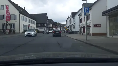

Schenkbarsches Haus Museum
Museum · 7.6 km
Privates Museum im ältesten Haus der Stadt Biedenkopf, hessisches Amtshaus um 1490, Keller um 1200. Historische Innenräume, Ikonenmuseum.
9 Bei der Kirche, Biedenkopf

Schloß Biedenkopf
Monument and historic site · 7.4 km
Zugang zu Turm und Mauer: Euro 0,50
Tu-Su 10:00-18:00


Burg Richstein
Monument and historic site · 6.4 km
Castle build on a hill

Ehemalige Synagoge
Monument and historic site · 1.2 km
44 Mauerstraße, Bad Laasphe


116 more on the map.
Parks, trails and playgrounds61


Freibad Feudingen
Sports field and stadium · 7.1 km
13 Auf den Weiherhöfen, Bad Laasphe
Mo-Fr 10:00-12:30,15:00-19:30; Sa,Su 10:00-19:30; PH 10:30-19:30;...


49 more on the map.
Restaurants and cafes79

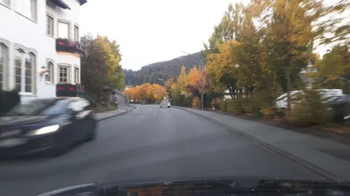
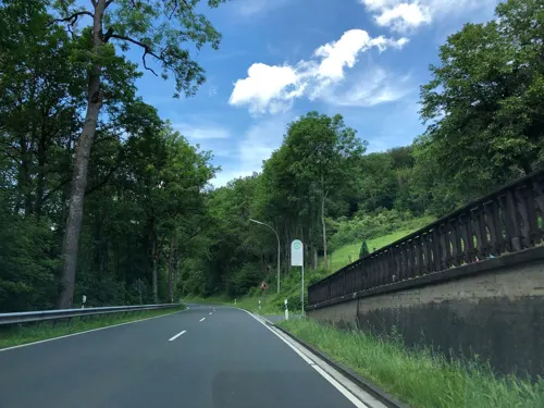
Waldhotel Haferkiste
Restaurant · Italian · 3.2 km
14 Wittgensteiner Straße, Bad Laasphe
Tu-Su,PH 11:30-14:30,17:30-23:00; Mo off
Berggasthof Didoll
Restaurant · German · 5.5 km
1 Didoll, Bad Berleburg
Fr 14:00-22:00,Sa 10:00-24:00,Su 10:00-22:00
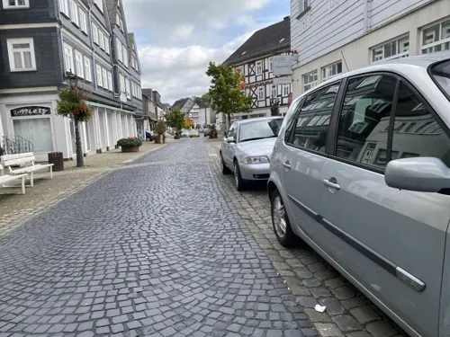
Brauhaus "Zur Sonne"
Restaurant · German · 1.2 km
32 Königstraße, Bad Laasphe
Mo-We 11:30-14:30,17:00-22:00; Th off; Fr 11:30-23:00; Sa...
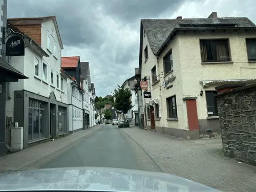
Café Lifetime
Cafe · Crepe, Burger, Sandwich, Ice Cream · 7.6 km
29-31 Hainstraße, Biedenkopf
We 13:00-18:00, Th 20:00-23:00, Fr 20:00-24:00, Su 20:00-23:00
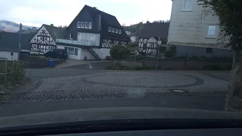
Lindenhof
Restaurant · Regional · 6.4 km
9 Zum Spreit, Bad Laasphe
Mo,We,Th 12:00-14:00,18:00-21:00; Fr,Sa 12:00-14:00,18:00-22:00;...
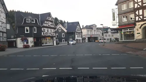


Ratsschänke Wittgensteiner Hof
Restaurant · International, Italian · 1.0 km
1 Wilhelmsplatz, Bad Laasphe
Mo-Sa 16:00+; PH,Su 11:00+
Reich der Mitte
Restaurant · Chinese · 7.7 km
1 Hainstraße, Biedenkopf
Mo,We-Sa 11:30-15:00,17:30-23:00; Su,PH 11:30-23:00; Tu off
Restaurant "Die Esse"
Restaurant · German, International · 6.8 km
13 Am Freibad, Biedenkopf
Mo,We,Th 11:00-14:30,17:00+; Fr,Sa 17:00+; Su 11:00-15:00; Tu off
Ristorante da Michele
Restaurant · Italian · 1.3 km
13 Schloßstraße, Bad Laasphe
We-Fr 12:00-14:00,18:00-22:30; Sa 18:00-22:30; Su 12:00-14:00,18:00-21:30
Wirtshaus Frauental
Restaurant · Regional · 8.2 km
1 Im Frauental, Biedenkopf
Th 16:00-24:00, Fr,Sa 16:00-03:00, Su 12:00-23:00; Mo,Tu,We off
67 more on the map.
History
In 1888, the town of Laasphe lay in the Prussian administrative region of Arnsberg in Wittgenstein district and was connected to the Kreuzthal-Marburg line of the Prussian State Railway (Preußische Staatsbahn). In 1888 Laasphe had a junior teachers' college, a local court and knitwear and hosiery factories. In 1885, Laasphe had 2225 mostly Evangelical inhabitants. Schloss Wittgenstein owned two ironworks. (From Meyers Konversations-Lexikon)
Since 1960, Laasphe has been a Kneipp spa. On 1 January 1984 the town became a Kneipp curative spa for its mild climate, and since then has been called Bad Laasphe.
From the History section of Bad Laasphe on Wikipedia, under CC BY-SA 4.0.
Where to stay21
Bauernhofpension Steffes Hof
Motel and hotel · Regional · 8.0 km
8 Weidenhäuser Straße, Bad Berleburg
Churches and places of worship46
Evangelische Kirche
Church · Protestant · 5.6 km
3 Altweg, Breidenbach
Evangelische Kirche Oberdieten
Church · Protestant · 8.2 km
29 Dietestraße, Breidenbach
Evangelische Kirche Weifenbach
Church · Protestant · 5.5 km
47 Lahn-Eder-Straße, Biedenkopf
Shopping24
Gas and EV charging11
Schools, colleges and libraries20
Gymnasium und Realschule Schloss Wittgenstein
School · 2.1 km
12 Schloß Wittgenstein, Bad Laasphe
Healthcare11
Map of Bad Laasphe
250 places. The map loads OpenStreetMap tiles when you open it.
Getting there and nearby towns
Siegerlandflughafen (SGE) is the nearest airport with scheduled flights listed in OpenStreetMap, 35 km away.
- Biedenkopf 8 km east, about 8 min by car
- Gladenbach 21 km southeast, about 21 min by car
- Netphen 23 km west, about 23 min by car
- Dillenburg 23 km southwest, about 23 min by car
- Wilnsdorf 26 km southwest, about 26 min by car
- Haiger 26 km southwest, about 26 min by car
- Marburg an der Lahn 28 km southeast, about 28 min by car
- Schmallenberg 27 km north, about 27 min by car
- Siegen 29 km west, about 29 min by car
- Herborn 29 km south, about 29 min by car
Drive times are estimates from straight-line distance, not routes.
Local news
Headlines from INDB.
Reviews, tips and questions
Loading what members have shared...
Sources and licences
- GeoNames (CC BY 4.0): population, coordinates, regions and time zone
- Mapillary (see each image): photos
- OpenStreetMap contributors (ODbL 1.0): places, airports, map data
- Wikidata (CC0 1.0): elevation, founding date, time zone, website
- Wikimedia Commons (see each image): photos
- Wikipedia (CC BY-SA 4.0): overview and history text
Photo credits
- Bad Laasphe Panorama, Dbawwsnrw, Public domain
- Naturschutzgebiet Hoher Stein (Bad Laasphe)-11, Velopilger, CC0
- Lahntal Total Bad Laasphe 20100725 cropped, Sir James, CC BY-SA 3.0
- Bahnhof Bad Laasphe foto-1, Velopilger, CC0
- Judische Friedhof (Bad Laasphe)-7, Velopilger, CC0
- Judische Friedhof (Bad Laasphe)-11, Velopilger, CC0
- Judische Friedhof (Bad Laasphe)-8, Velopilger, CC0
- Judische Friedhof (Bad Laasphe)-10, Velopilger, CC0
- Judische Friedhof (Bad Laasphe)-9, Velopilger, CC0
- Judische Friedhof (Bad Laasphe)-12, Velopilger, CC0
- Naturschutzgebiet Hoher Stein (Bad Laasphe)-6, Velopilger, CC0
- Judische Friedhof (Bad Laasphe)-6, Velopilger, CC0
- Naturschutzgebiet Hoher Stein (Bad Laasphe)-7, Velopilger, CC0
- Bahnhofstrasse (Bad Laasphe), Velopilger, CC0
- Naturschutzgebiet Hoher Stein (Bad Laasphe)-8, Velopilger, CC0
- Judische Friedhof (Bad Laasphe)-2, Velopilger, CC0
- Naturschutzgebiet Hoher Stein (Bad Laasphe)-4, Velopilger, CC0
- Naturschutzgebiet Hoher Stein (Bad Laasphe)-9, Velopilger, CC0
- Judische Friedhof (Bad Laasphe)-3, Velopilger, CC0
- Judische Friedhof (Bad Laasphe)-4, Velopilger, CC0
- Judische Friedhof (Bad Laasphe)-5, Velopilger, CC0
- Judische Friedhof (Bad Laasphe)-1, Velopilger, CC0
- Naturschutzgebiet Hoher Stein (Bad Laasphe)-5, Velopilger, CC0
- Naturschutzgebiet Hoher Stein (Bad Laasphe)-10, Velopilger, CC0
- Naturschutzgebiet Hoher Stein (Bad Laasphe)-12, Velopilger, CC0
- Bad laasphe bahnhofstr 67 lage, Gmbo 2013, CC0
- Naturschutzgebiet Hoher Stein (Bad Laasphe)-2, Velopilger, CC0
- Naturschutzgebiet Hoher Stein (Bad Laasphe)-3, Velopilger, CC0
- Bad Laasphe-1, Velopilger, CC0
- Kalteborn (Bad Laasphe)-1, Velopilger, CC0
- Natur Bad Laasphe-7, Velopilger, CC0
- Bad laasphe bahnhofstr 50 lage, Gmbo 2013, CC0
- Bad Laasphe Kernstadt Panorama, Mario Rösler, CC BY-SA 4.0
- Bad Laasphe-4, Velopilger, CC0
- Natur Bad Laasphe-6, Velopilger, CC0
- Natur Bad Laasphe-9, Velopilger, CC0
- 2007-05-19 Grenzgangs-Zimmer im Hinterlandmuseum IMG 8167, Eckhard Henkel, CC BY-SA 3.0 de
- Burg Richstein-2, MacElch (Rainer Kunze), CC BY-SA 3.0
- Kirche Feudingen, Jörg Horchler, CC BY-SA 3.0
- 2011.02.28. Puderbach Kirche 005a, Wittiklaus, CC BY-SA 3.0
- 2011-05-21 Stadtkirche Biedenkopf, Sir James, CC BY 3.0
- Alpincenter Wittgenstein, Alexander Blecher, blecher.info , all 452 pictures , overview, CC BY-SA 4.0
- Lahntalschule Biedenkopf cropped, Lahntalschule_Biedenkopf.jpg : Thomas Damm derivative work: Sir James ( talk ), CC BY-SA 2.5
- 2007-05-18 Ansicht Biedenkopf Schloss IMG 8105, Eckhard Henkel, CC BY-SA 3.0 de
- Schloss Witgenstein (1)fd, Friedhelm Dröge, CC BY-SA 4.0
- Biedenkopf Hospitalkirche, Andreas Trepte, CC BY-SA 2.5
- Burgberg (Bad Laasphe)-01, Alexander Blecher, blecher.info , all 452 pictures , overview, CC BY-SA 4.0
- Evangelische Kirche Breidenbach (4), Hydro, CC BY-SA 4.0
- Informationstafel des Naturschutzgebietes Großer Bohnstein, Alexander Blecher, blecher.info , all 452 pictures , overview, CC BY-SA 4.0
- Oberdieten Ev. Kirche (02), Wikiwal, CC BY-SA 4.0
- Elisabethkirche Biedenkopf (01), Hydro, CC BY-SA 4.0
- Kirche in Lindenhof, Twtw02 at German Wikipedia, Public domain
- Laasphe historische Bauten Aufnahme 2006 Nr 46, Stephan Hoppe, CC0
- 058 Kapelle Richstein, Ursulabuschmann, CC BY-SA 3.0
- 001 ev. Kirche Weidenhausen, Ursulabuschmann, CC0
- Bad laasphe ditzroder weg 12, Gmbo 2013, CC0
- Bad laasphe gennernbach 19 karl janson, Gmbo 2013, CC0
- Bad laasphe bahnhofstr 67 abraham scheuer, Gmbo 2013, CC0
- Bad laasphe wallstr 1 adele marburger, Gmbo 2013, CC0
- Bad laasphe wallstr 9 adolf hess, Gmbo 2013, CC0
- Street-level photo, changchun1, CC BY-SA 4.0
- Street-level photo, chuck, CC BY-SA 4.0
- Street-level photo, lllooommm, CC BY-SA 4.0
- Street-level photo, changchun1, CC BY-SA 4.0
- Street-level photo, troher15, CC BY-SA 4.0
- Street-level photo, troher15, CC BY-SA 4.0
- Street-level photo, tim3003, CC BY-SA 4.0
- Street-level photo, lllooommm, CC BY-SA 4.0
- Street-level photo, map_dav, CC BY-SA 4.0
- Street-level photo, lllooommm, CC BY-SA 4.0
- Street-level photo, akinogermany, CC BY-SA 4.0
- Street-level photo, changchun1, CC BY-SA 4.0
- Street-level photo, troher15, CC BY-SA 4.0
- Street-level photo, troher15, CC BY-SA 4.0
- Street-level photo, thetornado76, CC BY-SA 4.0
- Street-level photo, akinogermany, CC BY-SA 4.0
- Street-level photo, tim3003, CC BY-SA 4.0
- Street-level photo, tim3003, CC BY-SA 4.0
- Street-level photo, tim3003, CC BY-SA 4.0
- Street-level photo, akinogermany, CC BY-SA 4.0
- Street-level photo, changchun1, CC BY-SA 4.0
- Street-level photo, troher15, CC BY-SA 4.0
- Street-level photo, dor4, CC BY-SA 4.0
- Street-level photo, changchun1, CC BY-SA 4.0
- Street-level photo, atze02, CC BY-SA 4.0


Page built November 8, 2026. Spotted a mistake? Tell us or suggest a place.