


Why visit Netphen
Townapedia lists 85 museums and landmarks, 42 parks and trails, 176 places to eat, 16 places to stay and 58 attractions in and around town.
Highlights include Hof Schneider, Apollo-Theater, Siegerlandmuseum and Oberes Schloss.
Weather in Netphen
Forecast from MET Norway (CC BY 4.0). Full forecast
About Netphen
Netphen (German pronunciation: [ˈnɛtfən]) is a town in the Siegen-Wittgenstein district, in North Rhine-Westphalia, Germany. It lies on the river Sieg, roughly 7 km northeast of Siegen.
From the Wikipedia article Netphen (this version), under CC BY-SA 4.0.
Things to do58

Hof Schneider
Farm and orchard · 6.8 km
SB-Hofladen mit Freiland-Eiern, Milchprodukten, Kartoffeln
11 Albert-Klenner-Straße, Netphen
Mo-Su,PH 07:00-21:00

Apollo-Theater
Cinema and theater · 7.5 km
Theatre in Siegen, Germany, built 2005-2007 on the site of the former Apollo cinema, with only the older building's facade remaining

Gillerberg Observation Tower
Monument and historic site · 7.3 km
Observation tower near Hilchenbach




46 more on the map.
Museums and landmarks85


Oberes Schloss
Monument and historic site · 6.7 km
Bischofshaus
3 Oberes Schloß, Siegen

Ehrenmal Weidenau
Monument and historic site · 5.3 km
Ehrenmal für die toten Soldaten im Ersten Weltkrieg


73 more on the map.
Parks, trails and playgrounds42



Freizeitbad Netphen
Sports field and stadium · 1.7 km
62 Brauersdorfer Straße, Netphen
PH,Mo-Su 10:00-20:00; Fr,Sa 10:00-22:00

30 more on the map.
Restaurants and cafes176

Gusto Puro
Restaurant · German, Italian · 6.7 km
1 Oberes Schloß, Siegen
We-Fr 17:30-21:30; Sa 12:00-21:30; Su,PH 12:00-18:00
Asador
Restaurant · Steak House, International · 1.6 km
1 Bittenbach, Netphen
Mo-Su,PH 11:30-14:30,17:00-22:30
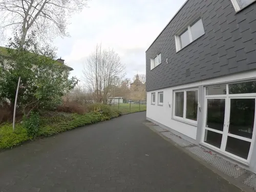
Banchan Korean Food
Restaurant · Korean · 6.8 km
28 Burgstraße, Siegen
Tu-Fr 17:00-22:00; Sa 15:00-22:00; Su 14:00-21:00
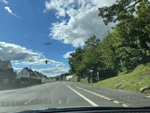
Bardolino
Restaurant · Mediterranean · 6.9 km
120 Wittgensteiner Straße, Hilchenbach
11:30+; Su-Th 11:30-22:00; Fr,Sa 11:30-23:00
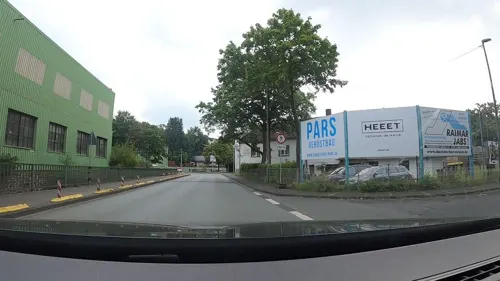
Estia
Restaurant · Greek · 7.0 km
15 Hainer Hütte, Siegen
Mo,We,Th 17:00-21:00; Fr,Sa 17:00-22:00; Su,PH 12:00-14:00,17:00-21:00
FRANCO Ristorante Riviera
Restaurant · Italian, Pizza · 3.6 km
1 Bruchstraße, Netphen
Mo-Sa 12:00-14:30,18:00-23:00,Su 12:00-14:30,17:00-22:00
Gasthof Weber
Restaurant · Regional · 2.2 km
15 Berleburger Straße, Netphen
Mo-Tu 17:00+; Th-Sa 17:00+; Su,PH 10:00-15:00,17:00+; We off

Ginsburg Kaffeestube
Cafe · Cake, Waffle, Tarte Flambee, Pizza, Beer · 7.1 km
1 Schloßberg, Hilchenbach
We-Fr 13:00-18:00; PH,Sa,Su 12:00-18:00
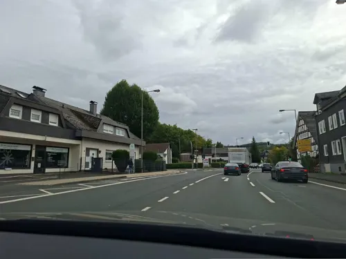


Grill an der Dreisbach
Restaurant · Indian, Kebab, Pizza · 3.1 km
93a Siegstraße, Netphen
Tu-Su 11:00-21:30; Mo off
Kaffeerösterei pagnia
Cafe · Coffee Shop · 7.0 km
35-37 Markt, Siegen
Mo-Fr 12:00-18:00; Su,PH 14:00-18:00; Sa 09:00-18:00
164 more on the map.
History
The earliest mention of this region of Siegen-Wittgenstein goes back to the 11th century. Here, as in most parts of the old Siegen district, the princely House of Nassau is named as the local overlords.
In 1215, the Lords of Hain were mentioned as being at Hainchen Castle.
In 1742, Netphen, like all other places north of the Lahn, passed to Prince Wilhelm Karl Friso of Orange, Prince of Diez and heir to the United Netherlands, thereby making the Principality of Nassau-Siegen part of the Netherlands.
Napoleon added the Siegerland to the Grand Duchy of Berg as part of his rearrangement of Germany. This change was, however, undone in 1813 and Netphen once again became Orange domain. In 1815, the House of Orange forwent all its German possessions and Netphen passed to Prussia in 1816.
On 1 January 1969, as part of municipal reform, the greater community of Netphen came into being. On 30 June 1997, Netphen's population reached the 25,000 mark, thereby earning it town status. This was not made official, however, until just before the turn of the millennium, on 1 January 2000.
From the History section of Netphen on Wikipedia, under CC BY-SA 4.0.
Where to stay16
Churches and places of worship58
Katholische Pfarrgemeinde Sankt Marien
Church · Roman Catholic · 7.1 km
23 Löhrstraße, Siegen
Shopping54
Gas and EV charging20
Schools, colleges and libraries54
BiGS Bildungsinstitut für Gesundheitsberufe Südwestfalen in Siegen GmbH
School · 6.7 km
9 Saarbrücker Straße, Siegen
Healthcare19
Map of Netphen
250 places. The map loads OpenStreetMap tiles when you open it.
Getting there and nearby towns
Siegerlandflughafen (SGE) is the nearest airport with scheduled flights listed in OpenStreetMap, 23 km away.
- Siegen 7 km southwest, about 7 min by car
- Wilnsdorf 11 km south, about 11 min by car
- Neunkirchen 15 km southwest, about 15 min by car
- Haiger 21 km south, about 21 min by car
- Olpe 21 km northwest, about 21 min by car
- Dillenburg 24 km southeast, about 24 min by car
- Schmallenberg 29 km northeast, about 29 min by car
- Herborn 30 km southeast, about 30 min by car
- Biedenkopf 30 km east, about 30 min by car
- Waldbröl 34 km west, about 34 min by car
Drive times are estimates from straight-line distance, not routes.
Local news
Headlines from INDB.
Reviews, tips and questions
Loading what members have shared...
Sources and licences
- GeoNames (CC BY 4.0): population, coordinates, regions and time zone
- Mapillary (see each image): photos
- OpenStreetMap contributors (ODbL 1.0): places, airports, map data
- Wikidata (CC0 1.0): elevation, founding date, time zone, website, landmarks and historic places
- Wikimedia Commons (see each image): photos
- Wikipedia (CC BY-SA 4.0): overview and history text
Photo credits
- Kreuzkapelle Netphen - Vorderseite, ThomasGerd, CC BY-SA 4.0
- Kreuzkapelle Netphen - Seitenansicht, ThomasGerd, CC BY-SA 4.0
- Netphener Keltenweg Parkplatz Leimbachtal, Ocrho, CC0
- Apollo-Theater Siegen dima, dima, Public domain
- Gillerturm, Uv22e, CC BY-SA 3.0
- Autobahnkirche Siegerland 06, Jan-Herm Janßen, CC BY-SA 3.0
- Evangelische Kirche Wilnsdorf Oktober 2010, Dbawwsnrw, CC BY 3.0
- Siegen Haardter Berg, PresseUniSiegen, CC BY-SA 4.0
- Marienkirche siegen, Bob Ionescu, Attribution
- Siegen-StMarienKrankenhaus1-Bubo, Bubo, CC BY-SA 3.0
- Haardterkirche-portal, Losdedos, CC BY-SA 3.0 de
- SI Giersbergstrasse 2009, Frank Behnsen, CC BY-SA 3.0
- Siegen Nikolaikirche Kirchenschiff, Bob Ionescu, Attribution
- Talkirche Geisweid, Daderich, Public domain
- Alte Burg (Afholderbach) 1, Dampftrain, CC BY-SA 4.0
- DaBluesRocks Architeuthis, DaBluesRock: Frank M. Reitz, CC BY-SA 3.0
- Rabenhainturm-01, Muck, CC BY-SA 4.0
- Anzhausen, Ev. Kapelle (3), Subbass1, CC BY-SA 4.0
- St. Martin Kirche Netphen, ThomasGerd, CC BY 3.0
- SI Oberes Schloss Giersberg, Frank Behnsen, CC BY-SA 3.0
- Nikolaikirche in der Altstadt von Siegen, Matthias Böhm, CC BY-SA 4.0
- Blick auf Weidenau, Lene, CC BY-SA 3.0
- Haardterkirche, Losdedos, CC BY-SA 3.0 de
- Wilnsdorf Wassermuehle Niederdielfen, Bob Ionescu, Attribution
- Siegen Zeughaus Fassade, Frank Behnsen, CC BY 3.0
- Linie R16 (VWS), Saviour1981, CC BY-SA 3.0
- ISS046-E-27130 - View of Earth, Earth Science and Remote Sensing Unit , Lyndon B. Johnson Space Center, Public domain
- ISS031-E-36351 - View of Earth, Earth Science and Remote Sensing Unit , Lyndon B. Johnson Space Center, Public domain
- ISS041-E-75080 - View of Earth, Earth Science and Remote Sensing Unit , Lyndon B. Johnson Space Center, Public domain
- ISS046-E-27129 - View of Earth, Earth Science and Remote Sensing Unit , Lyndon B. Johnson Space Center, Public domain
- ISS031-E-7563 - View of Earth, Earth Science and Remote Sensing Unit , Lyndon B. Johnson Space Center, Public domain
- Die Obernautalsperre bei Sonnenaufgang im Winter, Johannibubi, CC BY-SA 4.0
- Street-level photo, map_dav, CC BY-SA 4.0
- Street-level photo, uwekoch, CC BY-SA 4.0
- Street-level photo, uwekoch, CC BY-SA 4.0
- Street-level photo, GITNE, CC BY-SA 4.0
- Street-level photo, alucardo, CC BY-SA 4.0
- Street-level photo, baldur80, CC BY-SA 4.0
- Street-level photo, uwekoch, CC BY-SA 4.0
- Street-level photo, GITNE, CC BY-SA 4.0
- Street-level photo, VIA_KK, CC BY-SA 4.0
- Street-level photo, uwekoch, CC BY-SA 4.0
- Street-level photo, uwekoch, CC BY-SA 4.0
- Street-level photo, changchun1, CC BY-SA 4.0


Page built November 8, 2026. Spotted a mistake? Tell us or suggest a place.