


Bad Soden am Taunus, Germany
Bad Soden am Taunus is a town of 23,103 people in Hesse, Germany.
Why visit Bad Soden am Taunus
Townapedia lists 78 museums and landmarks, 41 parks and trails, 180 places to eat, 16 places to stay and 12 attractions in and around town.
Highlights include Kinopolis, CasaBlanca Art House, Steinerner Jacob and Bodenerlebnisstation Sulzbach (Taunus).
Weather in Bad Soden am Taunus
Forecast from MET Norway (CC BY 4.0). Full forecast
About Bad Soden am Taunus
Bad Soden am Taunus (German pronunciation: [baːt ˈzoːdn̩ ʔam ˈtaʊnʊs], lit. 'Bad Soden on the Taunus'), commonly known as Bad Soden, is a town and spa in the Main-Taunus-Kreis, Hessen, Germany. It had a population of 22,563 as of 2017, up from 21,412 in 2005.
From the Wikipedia article Bad Soden (this version), under CC BY-SA 4.0.
Things to do12

Kinopolis
Cinema and theater · 2.6 km
Main-Taunus-Zentrum, Sulzbach (Taunus)
Mo-Sa,PH 13:00+; Su 10:00+

Bio Hofladen Pfeifer
Farm and orchard · 3.1 km
15 Kirchstraße, Bad Soden am Taunus
Tu 07:30-09:15,18:00-19:00; Th 07:30-12:00,18:00-19:00; Sa...

Christiansmühle
Farm and orchard · 2.8 km
Christiansmühle, vermutlich die mittelalterliche „Niedermühle". Erstmals erwähnt im Güterverzeichnis des Frankfurter Reichsschultheißen...

Pusteblume
Farm and orchard · 2.4 km
Mo-Fr 08:00-12:00,15:00-18:00; Sa 08:30-13:00

Museums and landmarks78

Steinerner Jacob
Monument and historic site · 1.2 km
Der „Steinerne Jakob“ steht heute an der historischen Mainzer Straße im Feld nach Oberliederbach, unweit der Landstraße nach Bad Soden;...
Bodenerlebnisstation Sulzbach (Taunus)
Monument and historic site · 1.6 km
Würfel mit Bilder und Text: Löss - Ablagerungen aus der Eiszeit.


Wasserbehälter Sulzbach
Monument and historic site · 1.4 km
Gruppenwasserwerk Hoechst 1910
66 more on the map.
Parks, trails and playgrounds41


Naturbad Schwalbach
Sports field and stadium · 2.0 km
23 Wilhelm-Leuschner-Straße, Schwalbach am Taunus
May-Sep: Mo-Su 10:00-20:00, Jun 25-Aug 05: We,Su 08:00-20:00



29 more on the map.
Restaurants and cafes180
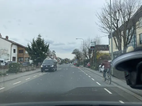
Restaurante Lucania
Restaurant · Italian · 3.6 km
Pizzeria free wifi kostenloser Wlan-Zugang mittels de-spot
231 Hauptstraße
Tu-Sa 11:30-15:00, 17:30-23:00; Su 12:00-23:00

Uzun's Restaurant
Restaurant · Turkish
Ein "richtiges" türkisches Gasthaus
13 Zum Quellenpark, Bad Soden am Taunus
Sa 17:30-23:00; Su-Fr 12:00-14:30,17:30-23:00
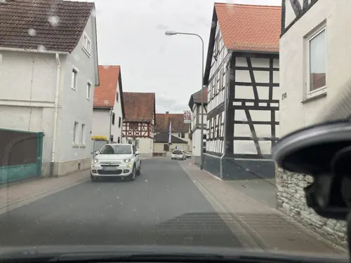
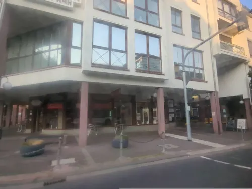
Café Sa’SIS
Cafe · Breakfast, Cake, Coffee Shop, French, Tea
1 Adlerstraße, Bad Soden am Taunus
Mo-Su 07:00-18:00
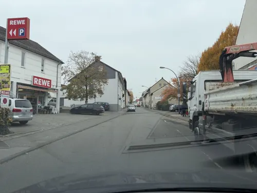
Casa Caloti
Restaurant · Pizza · 1.9 km
3c Schwalbacher Straße
Mo-Fr 10:30-14:00, 16:30-22:00; Su 15:30-22:00
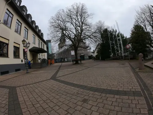
Die Linde
Restaurant · German, Bavarian · 2.0 km
3 Platz an der Linde, Sulzbach (Taunus)
Mo,We 17:00-20:00; Tu,Fr off; Th,Sa-Su 11:30-14:30,17:00-22:00
Eberhards Scheuer
Restaurant · Barbecue, Cake, Coffee Shop, Regional · 1.5 km
1 Eberhard-Preis-Weg
Su 13:00-20:00
Fish Factory
Restaurant · Fish
23 Zum Quellenpark, Bad Soden am Taunus
Tu,Fr 09:30-22:00; We,Th 09:30-18:00; Sa 09:30-15:00; Su,Mo,PH off
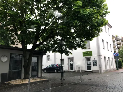
Gran Sasso
Restaurant · Pizza, Italian, Italian Pizza, Pasta, Fish
20 Clausstraße, Bad Soden am Taunus
Tu-Su 11:30-14:30,17:30-23:00; Mo off
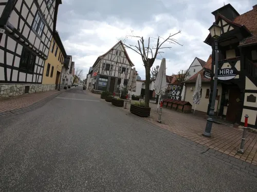
Historisches Rathaus Schwalbach
Restaurant · German · 2.4 km
2 Schulstraße, Schwalbach am Taunus
Tu-Th 15:00-23:00, Fr-Sa 15:00-00:00; Su 12:00-22:00
IDO Korean Dish & BBQ
Restaurant · Korean · 1.6 km
6 A Cretzschmarstraße, Sulzbach (Taunus)
Mo-Sa 12:00-14:30,18:00-22:30; Su off
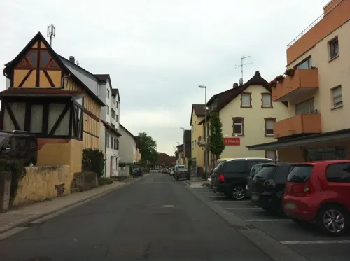


Immenhof Apfelwein-Manufaktur Apfelwein-Straußwirtschaft
Restaurant · Regional · 1.8 km
8a Borngasse, Bad Soden am Taunus
We-Su 17:00+
168 more on the map.
Where to stay16
Dorint Hotel Main-Taunus-Zentrum
Motel and hotel · 2.2 km
1 Am Main-Taunus-Zentrum, Sulzbach (Taunus)
Churches and places of worship26
Evangelische Pfarrkirche Liederbach
Church · Protestant · 2.6 km
5 Alt Oberliederbach, Liederbach am Taunus
Sankt Pankratius
Church · Catholic · 2.4 km
20 Hauptstraße, Schwalbach am Taunus
Evangelische Gemeinde Bad Soden
Church · Protestant
26 Zum Quellenpark, Bad Soden am Taunus
Evangelische Kirche
Church · Protestant · 1.7 km
5 Drei-Linden-Straße, Bad Soden am Taunus
Maria Geburt
Church · Roman Catholic · 3.1 km
12 Kirchstraße, Bad Soden am Taunus
Shopping50
Gas and EV charging18
Schools, colleges and libraries20
Healthcare16
Map of Bad Soden am Taunus
250 places. The map loads OpenStreetMap tiles when you open it.
Getting there and nearby towns
Frankfurt Airport (FRA) is the nearest airport with scheduled flights listed in OpenStreetMap, 13 km away.
- Schwalbach am Taunus 2 km northeast, about 2 min by car
- Eschborn 5 km east, about 5 min by car
- Königstein im Taunus 5 km northwest, about 5 min by car
- Steinbach am Taunus 6 km northeast, about 6 min by car
- Hofheim am Taunus 7 km southwest, about 7 min by car
- Kriftel 7 km south, about 7 min by car
- Eppstein 8 km west, about 8 min by car
- Oberursel 9 km northeast, about 9 min by car
- Kelsterbach 9 km south, about 9 min by car
- Frankfurt am Main 13 km east, about 13 min by car
Drive times are estimates from straight-line distance, not routes.
Local news
Headlines from INDB.
Reviews, tips and questions
Loading what members have shared...
Sources and licences
- GeoNames (CC BY 4.0): population, coordinates, regions and time zone
- Mapillary (see each image): photos
- OpenStreetMap contributors (ODbL 1.0): places, airports, map data
- Wikidata (CC0 1.0): elevation, founding date, time zone, website, landmarks and historic places
- Wikimedia Commons (see each image): photos
- Wikipedia (CC BY-SA 4.0): overview and history text
Photo credits
- Quellenpark Bad Soden, Wolfgang Maennel, CC BY-SA 3.0
- Bad Soden am Taunus Bahnhofsgebäude 2015, Tri-l, CC BY-SA 4.0
- Bad Soden am Taunus, Adolf-Messer-Forum, Skulptur Drei Grazien, Karsten Ratzke, CC0
- Bad Soden am Taunus, Adolf-Messer-Forum, Karsten Ratzke, CC0
- Kriegerdenkmale Evangelische Kirche Bad Soden am Taunus 05, Wikitarisch, CC BY-SA 4.0
- Kriegerdenkmale Evangelische Kirche Bad Soden am Taunus 04, Wikitarisch, CC BY-SA 4.0
- Kriegerdenkmale Evangelische Kirche Bad Soden am Taunus 01, Wikitarisch, CC BY-SA 4.0
- Kriegerdenkmale Evangelische Kirche Bad Soden am Taunus 03, Wikitarisch, CC BY-SA 4.0
- Kriegerdenkmale Evangelische Kirche Bad Soden am Taunus 02, Wikitarisch, CC BY-SA 4.0
- Opel-Zoo Kronberg Afrikasavanne 26-09-2008 002, Tragopan, CC BY-SA 3.0
- Justinuskirche Höchst south-east view November 2006, Eva K. / Eva K., CC BY-SA 2.5
- Bad Soden Taunus Alter Kurpark, Daviidos, CC BY-SA 3.0
- HainbucheArboretumMTK, Tri-l, CC BY-SA 4.0
- Main-Taunus-Zentrum, Frankfurt am Main (P1090684), Matti Blume, CC BY-SA 4.0
- Ev.Kirche BSaTs, Meike Twietmeyer, CC BY-SA 3.0
- Unterliederbach, Friedhof, Karsten Ratzke, CC0
- Bad Soden am Taunus kath. Kirche, Daviidos, CC BY-SA 3.0
- Bad Soden Taunus Wilhelmspark und Champagnerbrunnen, Daviidos, CC BY-SA 3.0
- Bad Soden Taunus Quellenpark1, Daviidos, CC BY-SA 3.0
- Quellenpark Kronthal 1, Karsten11, Public domain
- Bad Soden, Wasserturm, Karsten11, Public domain
- Neuenhain, evangelische Kirche, Karsten Ratzke, CC0
- Neuenhain, Kirche Maria Hilf, Karsten Ratzke, CC0
- Kelkheim Münster katholische Kirche, Karsten11, Public domain
- Sulzbach, evangelische Kirche, Karsten11, Public domain
- NSG Unteres Altenhainer Tal bei Bad Soden 2023-04-14 04, Leonhard Lenz, CC0
- Altenhain, Kirche, Seitenansicht, Karsten Ratzke, CC0
- Albert Einstein Schule 2, Simone, CC BY-SA 3.0
- Main-Taunus-Zentrum, Frankfurt, Unknown author, CC BY-SA 3.0
- Arboretum Main Taunus, EvaK, CC BY-SA 2.5
- Heilquelle 32, -- Peng 14:39, 16 July 2006 (UTC), CC BY 2.5
- HLB-TSBAlstom-Lint41-Soden, Tri@l, CC BY-SA 4.0
- S3-rail-Soden, Tri@l, CC BY-SA 4.0
- Bad Soden Bahnhofsgebäude 2015, Tri-l, CC BY-SA 4.0
- 3 Grazien 2015, Tri@l, CC BY-SA 4.0
- Swing, Robert, CC BY-SA 3.0
- Bad Soden, Kurgastbrunnen (2), Karsten Ratzke, CC0
- Bad Soden, Kurgastbrunnen, Karsten Ratzke, CC0
- Bad Soden Sauerbrunnen Info, Indiana68, CC BY-SA 4.0
- Bad Soden Sauerbrunnen 2, Indiana68, CC BY-SA 4.0
- Sulzbach, Christiansmühle, Karsten Ratzke, CC0
- Street-level photo, robffm, CC BY-SA 4.0
- Street-level photo, robffm, CC BY-SA 4.0
- Street-level photo, miguel_andrade, CC BY-SA 4.0
- Street-level photo, dekarl, CC BY-SA 4.0
- Street-level photo, chuck, CC BY-SA 4.0
- Street-level photo, dekarl, CC BY-SA 4.0
- Street-level photo, tmka, CC BY-SA 4.0
- Street-level photo, tmka, CC BY-SA 4.0
- Street-level photo, dekarl, CC BY-SA 4.0
- Street-level photo, robffm, CC BY-SA 4.0
- Street-level photo, dekarl, CC BY-SA 4.0
- Street-level photo, robffm, CC BY-SA 4.0
- Street-level photo, miguel_andrade, CC BY-SA 4.0
- Street-level photo, tmka, CC BY-SA 4.0
- Street-level photo, dekarl, CC BY-SA 4.0
- Street-level photo, miguel_andrade, CC BY-SA 4.0
- Street-level photo, tmka, CC BY-SA 4.0
- Street-level photo, tmka, CC BY-SA 4.0
- Street-level photo, fdmap, CC BY-SA 4.0
- Street-level photo, mapcreator, CC BY-SA 4.0
- Street-level photo, chuck, CC BY-SA 4.0
- Street-level photo, robffm, CC BY-SA 4.0
- Street-level photo, chuck, CC BY-SA 4.0
- Street-level photo, tmka, CC BY-SA 4.0
- Street-level photo, miguel_andrade, CC BY-SA 4.0
- Street-level photo, tmka, CC BY-SA 4.0


Page built November 8, 2026. Spotted a mistake? Tell us or suggest a place.