


Eschborn, Germany
Eschborn is a town of 22,403 people in Hesse, Germany, founded in April 14, 1970.
Why visit Eschborn
Townapedia lists 43 museums and landmarks, 41 parks and trails, 215 places to eat, 27 places to stay and 6 attractions in and around town.
Highlights include Roth's Bauernladen, Christiansmühle, Nida and Weißkirchener Wasserturm.
Weather in Eschborn
Forecast from MET Norway (CC BY 4.0). Full forecast
About Eschborn
Eschborn (German pronunciation: [ˈɛʃbɔʁn] ) is a town in the Main-Taunus district, Hesse, Germany. It is part of the Frankfurt Rhein-Main urban area and has a population of 21,488 (2018). Eschborn is home to numerous corporations due to its proximity to Frankfurt and relatively low business tax rate.
From the Wikipedia article Eschborn (this version), under CC BY-SA 4.0.
Things to do6

Roth's Bauernladen
Farm and orchard
20 Unterortstraße, Eschborn
Mo-Tu,Th-Fr 09:30-12:30,15:00-18:00; We,Su,PH off; Sa 09:00-13:00

Christiansmühle
Farm and orchard · 2.7 km
Christiansmühle, vermutlich die mittelalterliche „Niedermühle". Erstmals erwähnt im Güterverzeichnis des Frankfurter Reichsschultheißen...



Museums and landmarks43

Nida
Monument and historic site · 4.9 km
Ancient Roman town in the northwestern suburbs of Frankfurt, Germany


31 more on the map.
Parks, trails and playgrounds41


Jardin pédagogique du LFVH
Park · 2.7 km
Ferdinand-Kramer-Straße, Frankfurt am Main
24/7

29 more on the map.
Restaurants and cafes215
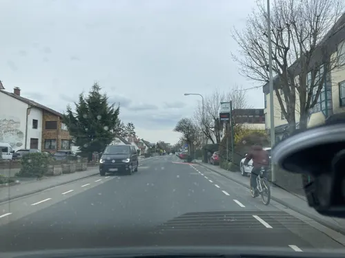
Restaurante Lucania
Restaurant · Italian · 1.8 km
Pizzeria free wifi kostenloser Wlan-Zugang mittels de-spot
231 Hauptstraße
Tu-Sa 11:30-15:00, 17:30-23:00; Su 12:00-23:00
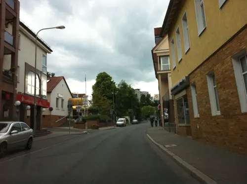
Ristorante amiconi
Restaurant · Italian
Cucina Italiana
2 Jahnstraße, Eschborn
Tu-Fr, Su 12:00-14:30, 18:00-22:30; Sa 18:00-22:30

Am Brünnchen
Restaurant · Greek · 3.4 km
Am Brünnchen, Frankfurt am Main
Mo-Fr 17:00-24:00, Sa,Su,PH 11:30-14:30,17:00-24:00; We off
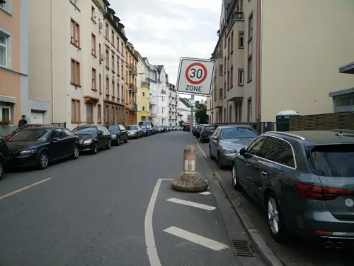
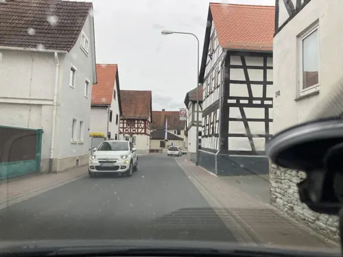
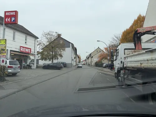
Casa Caloti
Restaurant · Pizza · 3.2 km
3c Schwalbacher Straße
Mo-Fr 10:30-14:00, 16:30-22:00; Su 15:30-22:00
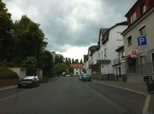
Crown of India
Restaurant · Indian
36 Hauptstraße, Eschborn
Tu-Th 11:00-14:30, 17:00-22:30; Fr 17:00-22:30; Sa, Su 11:00-22:30
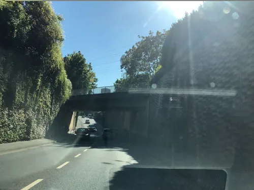
Dalmatia
Restaurant · Croatian, Argentinian, Irish, Regional, Fish, Salad
57 Götzenstraße, Eschborn
Mo-Sa 11:30-14:30,17:30-23:00; Su 11:30-23:00
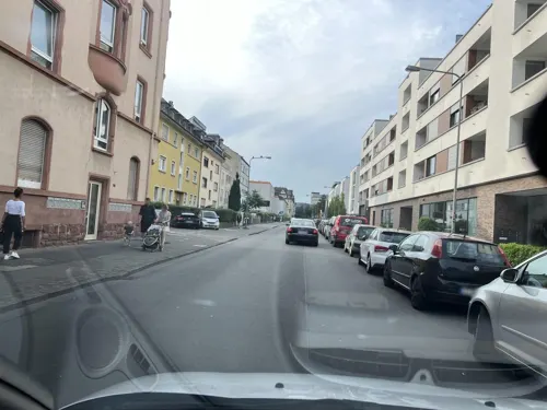
Der Bäcker Eifler
Bakery · 3.3 km
4 Westerbachstraße, Frankfurt am Main
Mo-Sa 06:00-22:00; Su 07:00-18:00
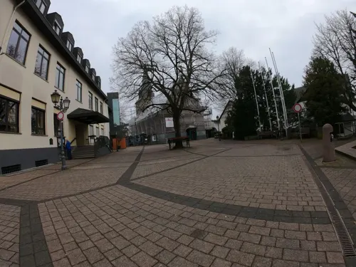
Die Linde
Restaurant · German, Bavarian · 3.2 km
3 Platz an der Linde, Sulzbach (Taunus)
Mo,We 17:00-20:00; Tu,Fr off; Th,Sa-Su 11:30-14:30,17:00-22:00
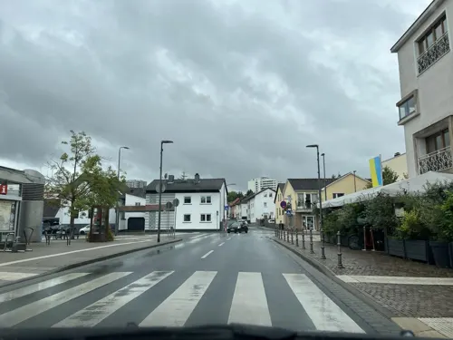


Friends Kantine
Restaurant · German, Italian, Italian Pizza, Asian · 2.8 km
42-50 Eschborner Landstraße
Mo-Fr 08:00-16:00
203 more on the map.
History
Eschborn was first mentioned at the beginning of the reign of Charlemagne as king of the Franks. The reason for this first written mention of Eschborn, spelled 'Aschenbrunne', was a deed of donation (in the name of the martyr Nazarius) to the Benedictine Lorsch Abbey, which is about 60 km (37 mi) south of Eschborn.
From the History section of Eschborn on Wikipedia, under CC BY-SA 4.0.
Where to stay27
Churches and places of worship29
Sankt Pankratius
Church · Catholic · 2.6 km
20 Hauptstraße, Schwalbach am Taunus
Evangelische Kirche
Church · Protestant · 2.4 km
17 Siegener Straße, Frankfurt am Main
St. Georgskirche
Church · Protestant · 2.8 km
5 Kirchgasse, Steinbach (Taunus)
Shopping64
Gas and EV charging27
Shell Tankstelle Danak
Gas station · 2.2 km
204 Westerbachstraße, Frankfurt am Main
Schools, colleges and libraries28
Healthcare25
Map of Eschborn
250 places. The map loads OpenStreetMap tiles when you open it.
Getting there and nearby towns
Frankfurt Airport (FRA) is the nearest airport with scheduled flights listed in OpenStreetMap, 13 km away.
- Steinbach am Taunus 3 km north, about 3 min by car
- Schwalbach am Taunus 3 km west, about 3 min by car
- Oberursel 7 km north, about 7 min by car
- Frankfurt am Main 9 km east, about 9 min by car
- Königstein im Taunus 8 km northwest, about 8 min by car
- Kelsterbach 10 km south, about 10 min by car
- Kriftel 10 km southwest, about 10 min by car
- Hofheim am Taunus 11 km southwest, about 11 min by car
- Friedrichsdorf 13 km northeast, about 13 min by car
- Eppstein 13 km west, about 13 min by car
Drive times are estimates from straight-line distance, not routes.
Local news
Headlines from INDB.
Reviews, tips and questions
Loading what members have shared...
Sources and licences
- GeoNames (CC BY 4.0): population, coordinates, regions and time zone
- Mapillary (see each image): photos
- OpenStreetMap contributors (ODbL 1.0): places, airports, map data
- Wikidata (CC0 1.0): elevation, founding date, time zone, website, landmarks and historic places
- Wikimedia Commons (see each image): photos
- Wikipedia (CC BY-SA 4.0): overview and history text
Photo credits
- FRAEsch, MaLe76, CC BY-SA 4.0
- Nida Heddernheim Toepferoefen1, Haselburg-müller, CC BY-SA 3.0
- Frauenfriedenskirche, Frankfurt, No machine-readable author provided. Melkom assumed (based on copyright claims)., CC BY-SA 3.0
- Justinuskirche Höchst south-east view November 2006, Eva K. / Eva K., CC BY-SA 2.5
- Frankfurt, Antoniuskirche (Rödelheim), Karsten11, Public domain
- HainbucheArboretumMTK, Tri-l, CC BY-SA 4.0
- Steinbach, St. Georgskirche, Karsten11, Public domain
- LFVH front gate, Lfvhenglish, CC BY-SA 4.0
- Frankfurt-Sossenheim, evangelische Kirche, Karsten11, Public domain
- Eschborn - Kirche, Johann H. Addicks at de.wikipedia, CC BY-SA 3.0
- Sulzbach, evangelische Kirche, Karsten11, Public domain
- Liebig Gymnasium frankf. 002, Peng ( talk ) 14:36, 22 April 2011 (UTC), CC BY 3.0
- Frankfurt Am Main-Sossenheim-Nothelferkapelle von Nordosten-20121013, Mylius, GFDL 1.2
- Albert Einstein Schule 2, Simone, CC BY-SA 3.0
- Arboretum Main Taunus, EvaK, CC BY-SA 2.5
- Frankfurt, Antoniuskirche (Rödelheim), Detail, Karsten11, Public domain
- St. Georgskirche Steinbach Taunus Ostsüd Seite, Workandbuy, CC BY-SA 3.0
- Sulzbach, Christiansmühle, Karsten Ratzke, CC0
- Aussichtsturm Taunusblick, Muck, CC BY-SA 4.0
- Street-level photo, dekarl, CC BY-SA 4.0
- Street-level photo, robffm, CC BY-SA 4.0
- Street-level photo, robffm, CC BY-SA 4.0
- Street-level photo, chuck, CC BY-SA 4.0
- Street-level photo, chuck, CC BY-SA 4.0
- Street-level photo, mapcreator, CC BY-SA 4.0
- Street-level photo, Seven77, CC BY-SA 4.0
- Street-level photo, dekarl, CC BY-SA 4.0
- Street-level photo, chuck, CC BY-SA 4.0
- Street-level photo, mapcreator, CC BY-SA 4.0
- Street-level photo, chuck, CC BY-SA 4.0
- Street-level photo, mapcreator, CC BY-SA 4.0
- Street-level photo, mapcreator, CC BY-SA 4.0
- Street-level photo, robffm, CC BY-SA 4.0
- Street-level photo, robffm, CC BY-SA 4.0
- Street-level photo, tmka, CC BY-SA 4.0
- Street-level photo, fdmap, CC BY-SA 4.0
- Street-level photo, tmka, CC BY-SA 4.0
- Street-level photo, robffm, CC BY-SA 4.0
- Street-level photo, tmka, CC BY-SA 4.0
- Street-level photo, robffm, CC BY-SA 4.0
- Street-level photo, mika08, CC BY-SA 4.0
- Street-level photo, dekarl, CC BY-SA 4.0
- Street-level photo, mapcreator, CC BY-SA 4.0
- Street-level photo, tmka, CC BY-SA 4.0
- Street-level photo, chuck, CC BY-SA 4.0
- Street-level photo, robffm, CC BY-SA 4.0
- Street-level photo, jurgenweighardt, CC BY-SA 4.0


Page built November 8, 2026. Spotted a mistake? Tell us or suggest a place.